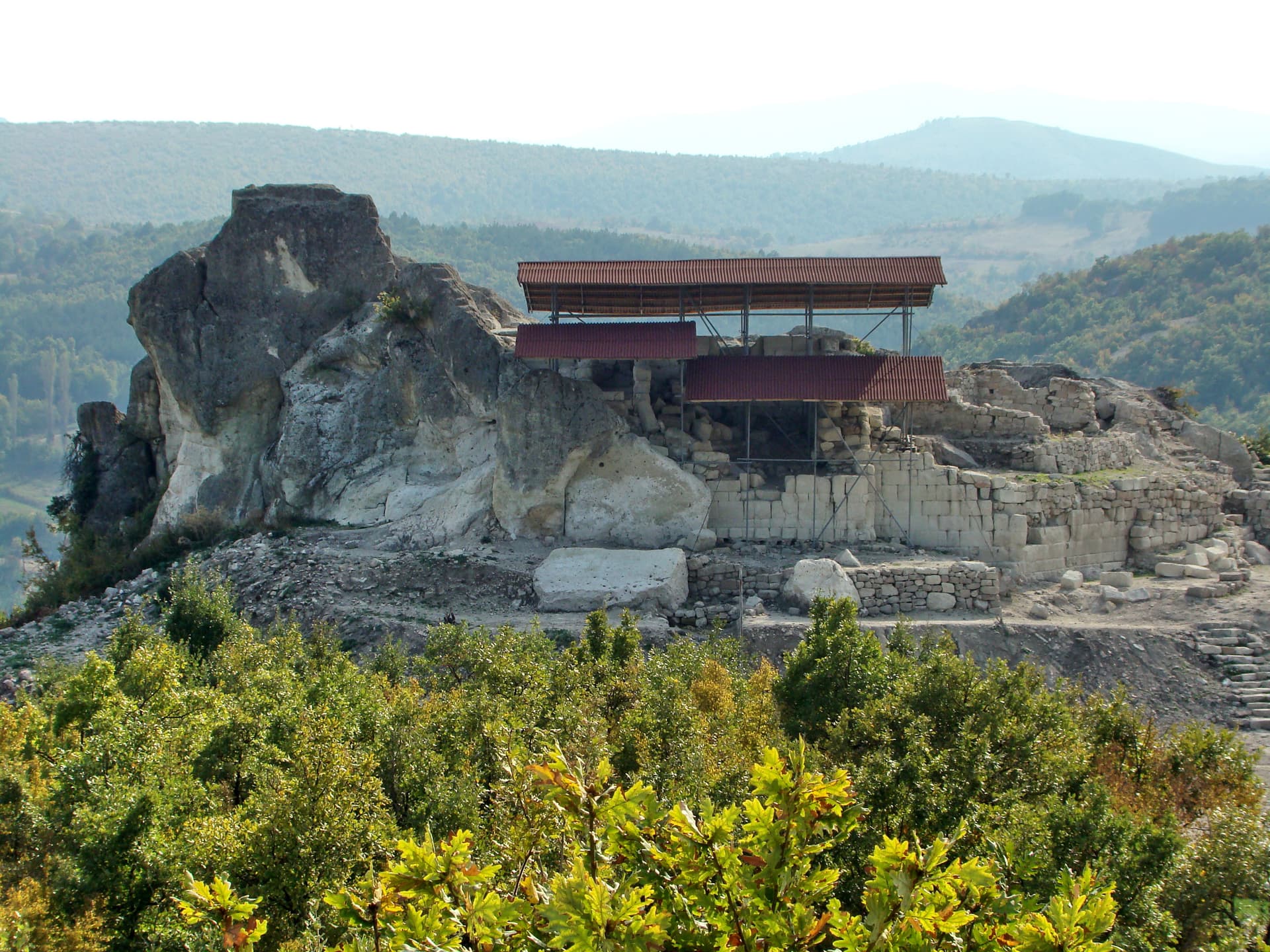
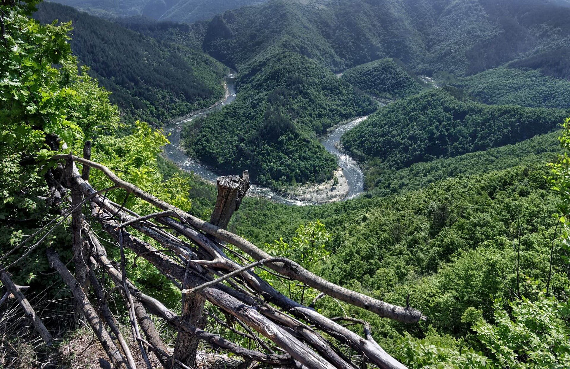
The archaeological complex of Perperikon (historically also referred to as Perperek) is one of the most majestic, colossal, and mysterious rock-cut cities in Europe. Nestled in the Eastern Rhodope Mountains of Bulgaria, the complex crowns a massive volcanic hill soaring up to 735 meters, overlooking the picturesque valley of the Perperek River (a tributary of the Arda River, near the Studen Kladenets Reservoir). Located 15 km northeast of the city of Kardzhali, 2 km south of the village of Gorna Krepost, and 6 km west of the village of Perperek, this national heritage site spans nearly 12,000 sq. m, with its core megalithic area occupying 5,000 sq. m. It is widely recognized as the largest megalithic sanctuary on the Balkan Peninsula and is featured under No. 66a in the "100 National Tourist Sites" of Bulgaria.
The history of Perperikon spans an extraordinary chronological range, beginning as early as the 6th–5th millennium BC. The summit, traditionally known by local villagers as "Dzhin Tepesi" ("The Hill of the Spirits"), is geologically composed of zeolitized rhyodacite pyroclastic flows. These softer volcanic rocks were highly susceptible to weathering but remarkably easy for ancient civilisations to carve. Consequently, almost every inch of the rocky surface has been shaped by human hands. During the Thracian era, the site served as a sacred rock city, fortified capital, and royal residence, later inhabited by Romans, Goths, Byzantines, and medieval Bulgarians.
Scientific interest in the site began in 1931–1932 with the pioneering publications of future professors Petar Mutafchiev and Ivan Velkov, and by 1938, the fortress was integrated into school textbooks. Prominent historians like Prof. Vasil Zlatarski validated its ancient name and geographical importance. The first systematic archaeological excavations took place in the late 1960s and early 1970s under the leadership of Prof. Dr. Stamen Mihaylov. Decades of research have brought to light monumental structures:

Kardzhali region
8.4 km away
Kardzhali region
8.4 km away

Kardzhali region
10.0 km away
Perperikon is located in Kardzhali, Bulgaria.
Perperikon is most easily reached by car. Use the coordinates above to navigate, or open the location in OpenStreetMap or your preferred maps app for turn-by-turn directions. Public transport options vary by region — for remote destinations a rental car gives the most flexibility.
Perperikon can be visited year-round. Spring and autumn offer the most pleasant conditions for exploring, with mild temperatures and fewer crowds. Summer is ideal for photography and longer day trips; winter visits are possible but weather can limit access at some sites.
Most natural landmarks in Bulgaria are freely accessible and open year-round, though some sites have entrance fees or require a guide. Wear sturdy footwear and bring water, as the terrain can be uneven. Respect any protective barriers and stay on marked paths to preserve the site.