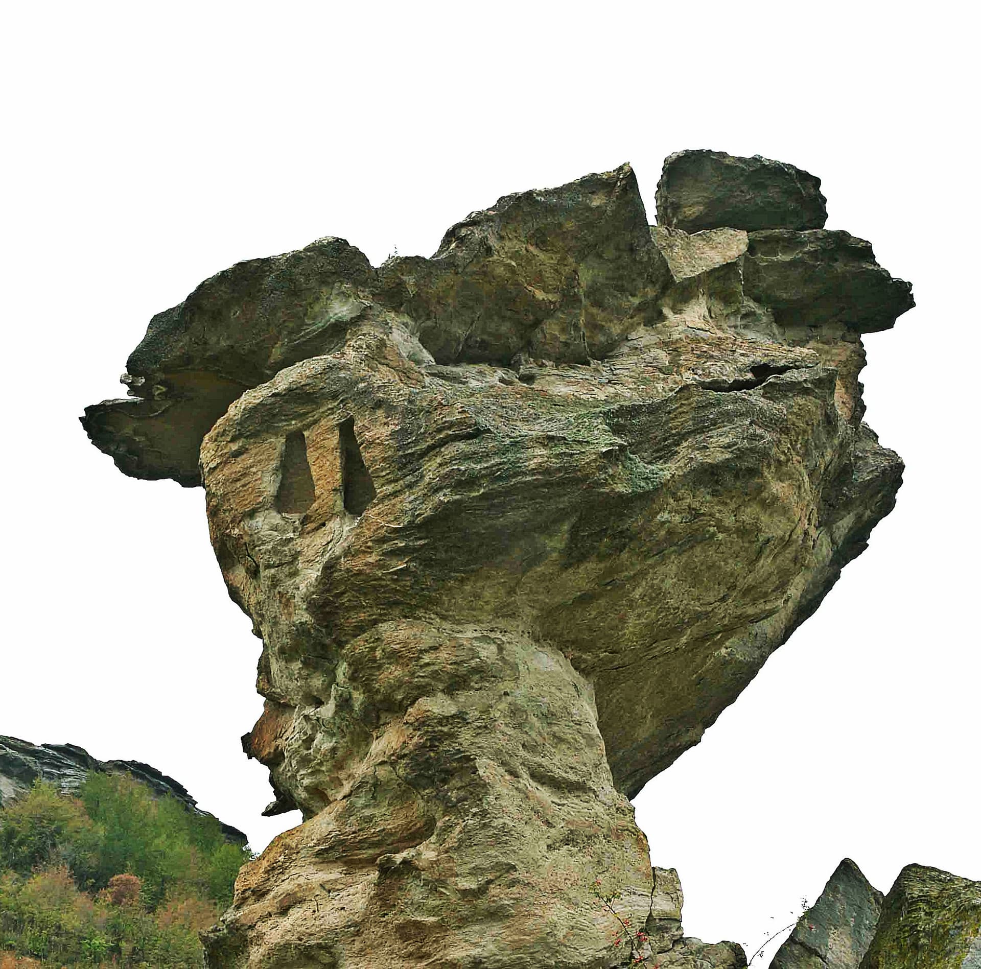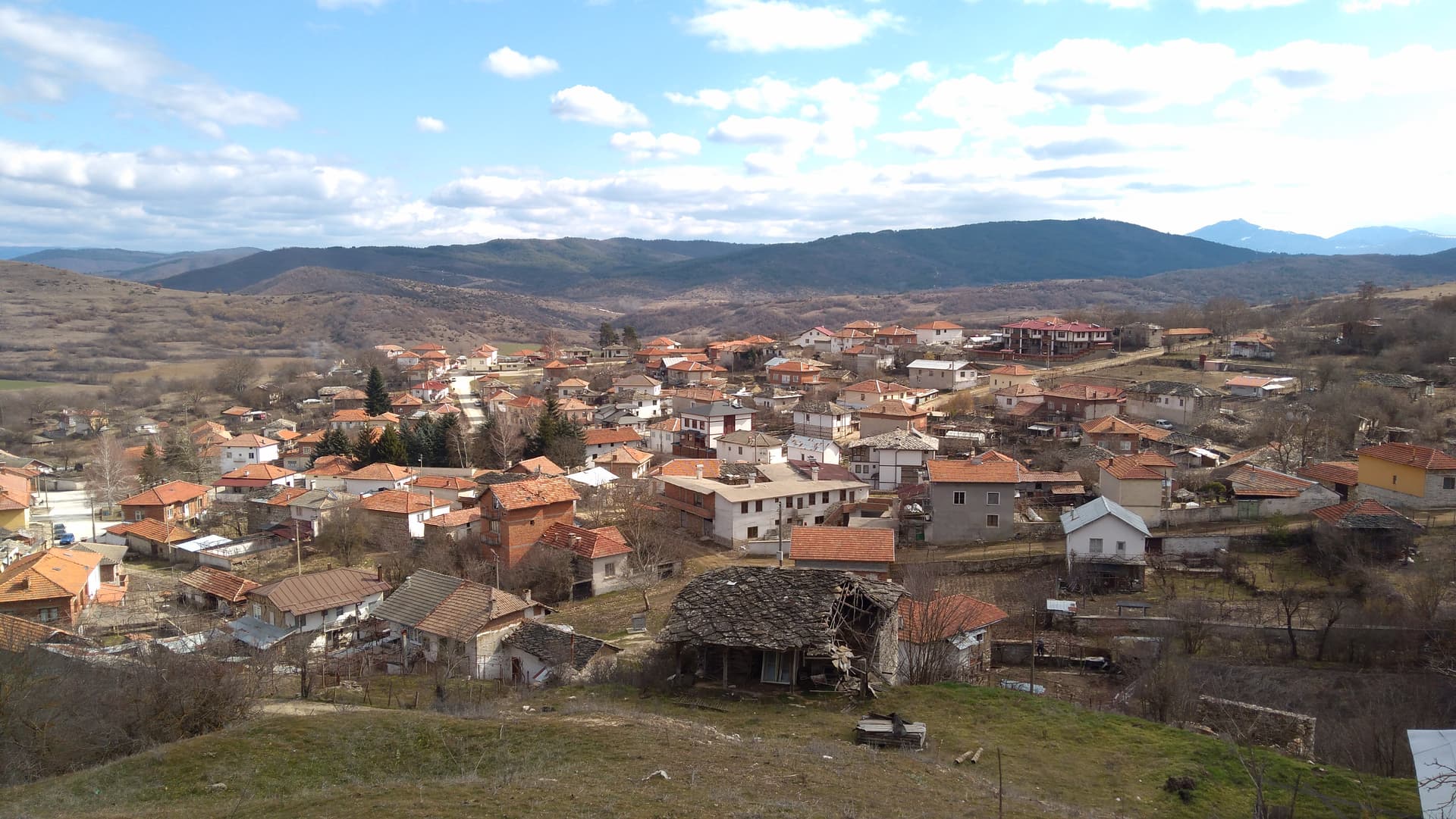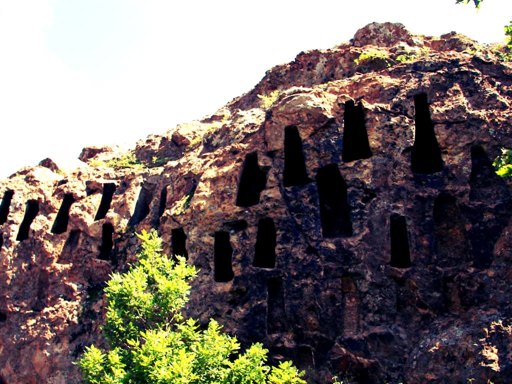
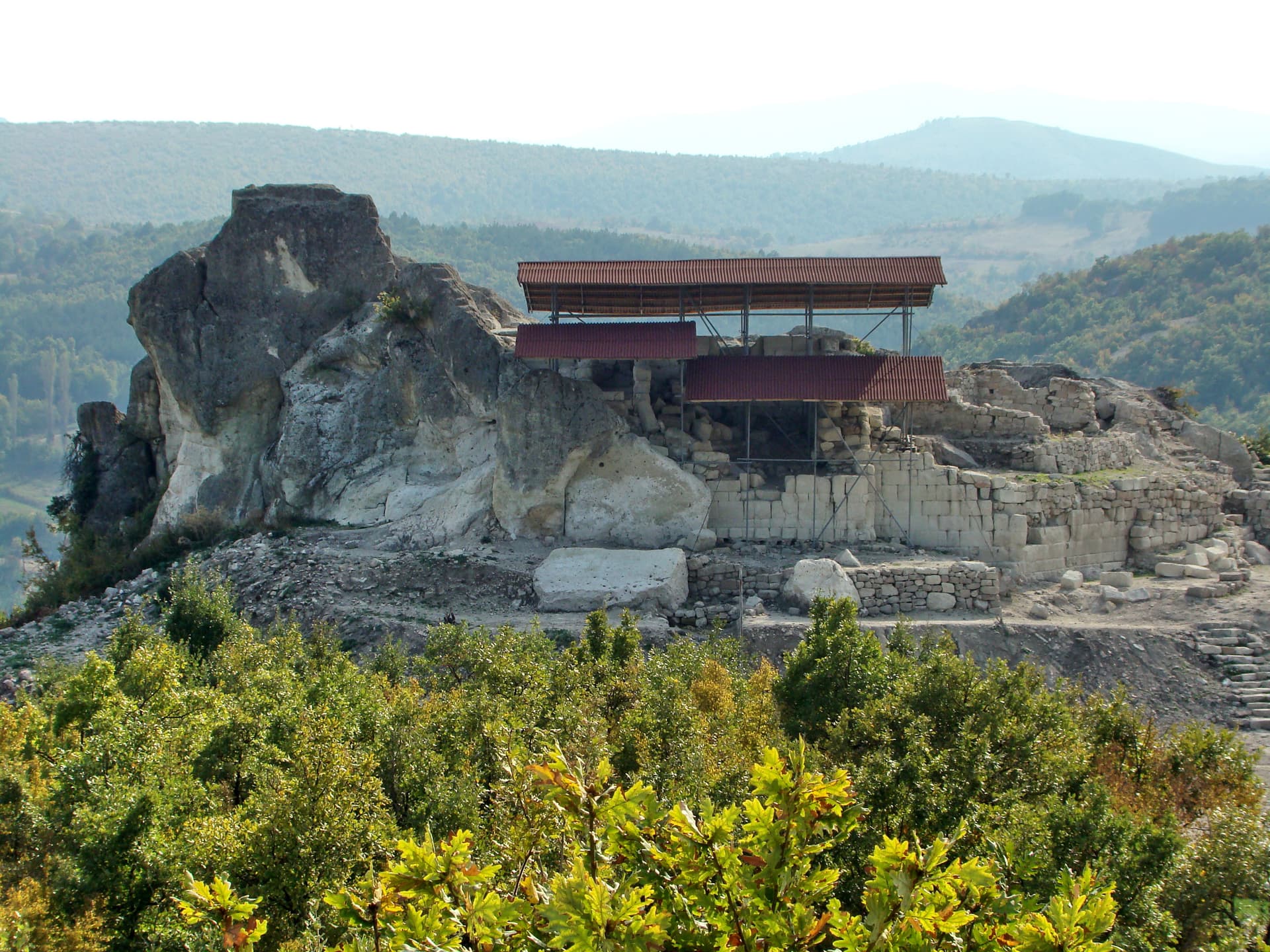
Yumruk Kaya, also known simply as "The Fist," is one of the most striking natural phenomena in the Eastern Rhodopes, situated in the Kardzhali region. Its name, translating to "Fist Rock," derives from its astonishing shape, resembling a clenched fist rising powerfully above the surrounding landscape. It is a place that captivates with its wild beauty and mystical atmosphere. The journey to Yumruk Kaya is an experience in itself. Access usually involves a combination of driving and a light to moderate hike, which reveals picturesque views of the gentle contours of the Rhodope Mountains. The ascent to the top or to the panoramic viewpoints around it rewards every visitor with an unparalleled vista. From here, the gaze loses itself in the endless expanse of green hills, dotted with whimsical rock formations and tranquil villages, while the Kardzhali Dam often glistens in the distance. Beyond being an attraction for nature photographers and hikers, Yumruk Kaya is also a place steeped in legends and folklore, which further enhances its magnetism. Every curve of the rocks, every niche seems to hide an ancient story. The area around Yumruk Kaya is exceptionally rich in biodiversity, making it ideal for birdwatching and exploring the characteristic Rhodope flora. A visit is highly recommended in spring, when nature awakens with lush greenery and blooming plants, or in autumn, when the Rhodopes are painted in a warm palette of colors. Yumruk Kaya is not just a rock; it is a symbol of the grandeur and mystery of Bulgarian nature, offering unforgettable moments of tranquility and admiration.

Kardzhali
1.9 km away

Kardzhali
8.9 km away
Kardzhali
10.6 km away
Kardzhali
12.0 km away
Yumruk Kaya is located in Kardzhali, Bulgaria.
Yumruk Kaya is most easily reached by car. Use the coordinates above to navigate, or open the location in OpenStreetMap or your preferred maps app for turn-by-turn directions. Public transport options vary by region — for remote destinations a rental car gives the most flexibility.
Late spring through early autumn (May–September) is best for Yumruk Kaya, when trails are clear of snow and weather is most stable. Higher peaks may hold snow into June and see fresh snow as early as October. Winter visits are for experienced mountaineers with proper gear.
Yumruk Kaya reaches an elevation of 587 metres above sea level.
Hiking boots, layered clothing, water (1.5–2 L per person), sun protection, and a windproof jacket — mountain weather changes quickly. For longer routes also bring a map (paper or offline), a head torch, and emergency rations. Tell someone your planned route and expected return time.