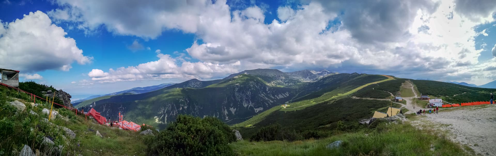
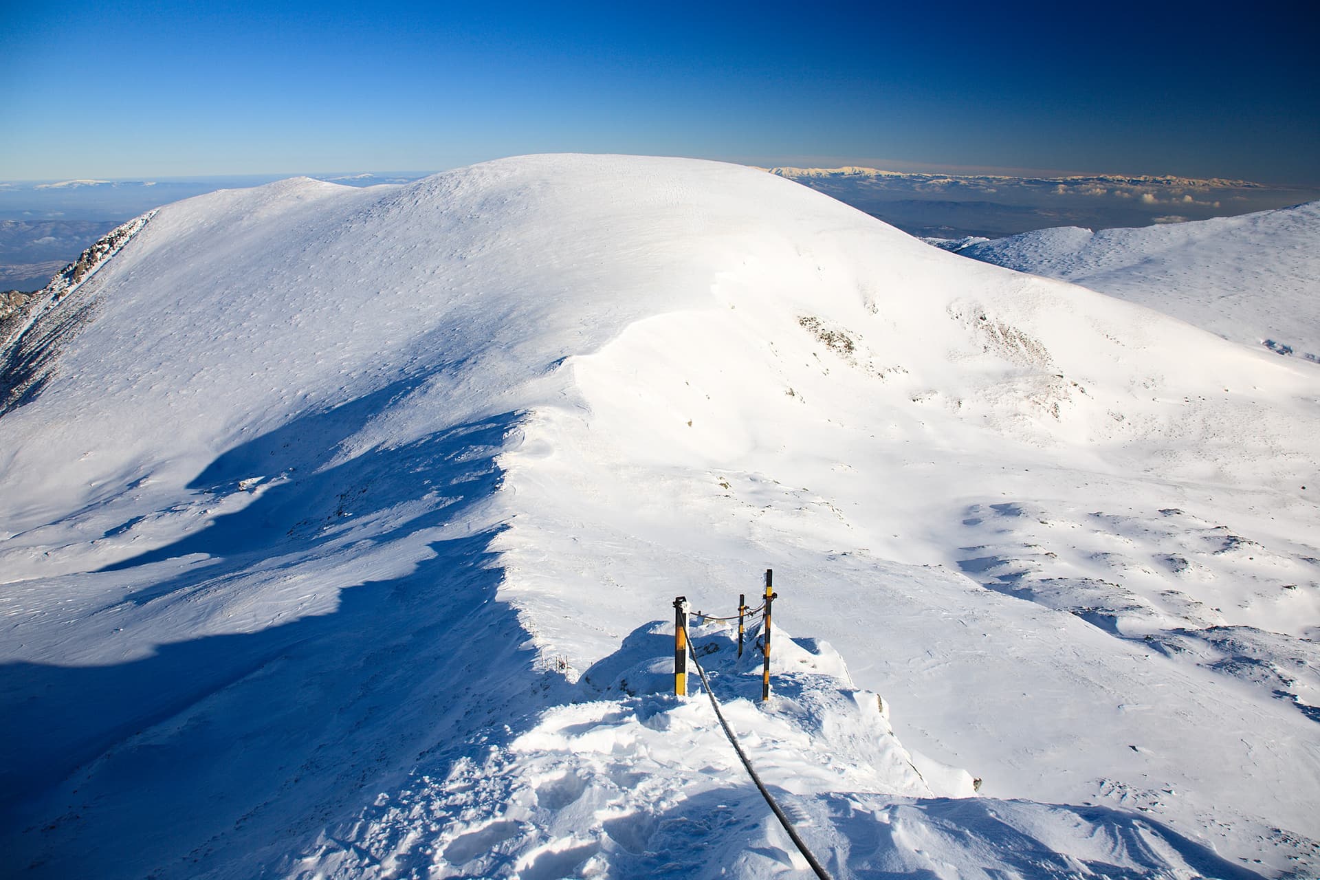
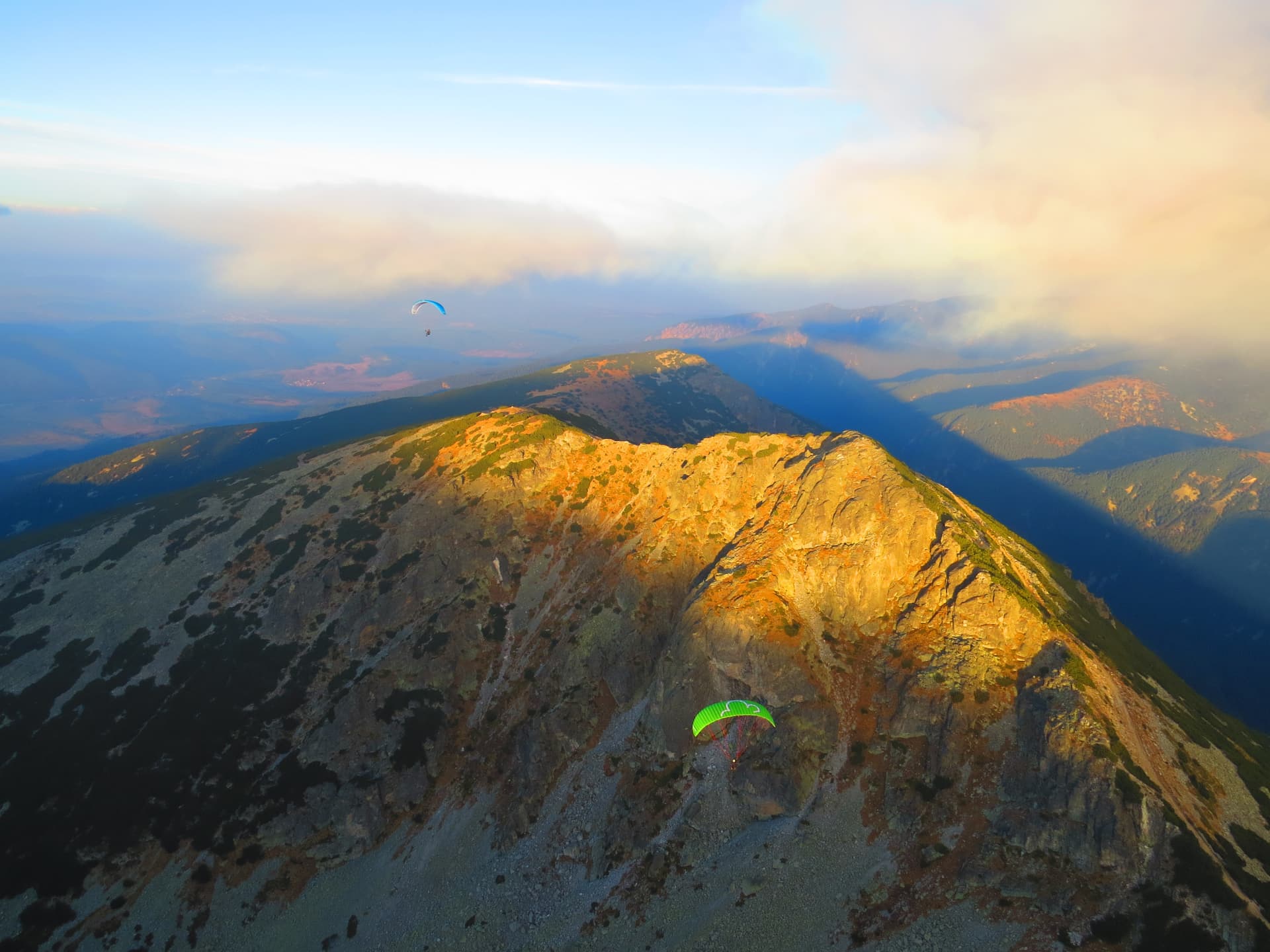
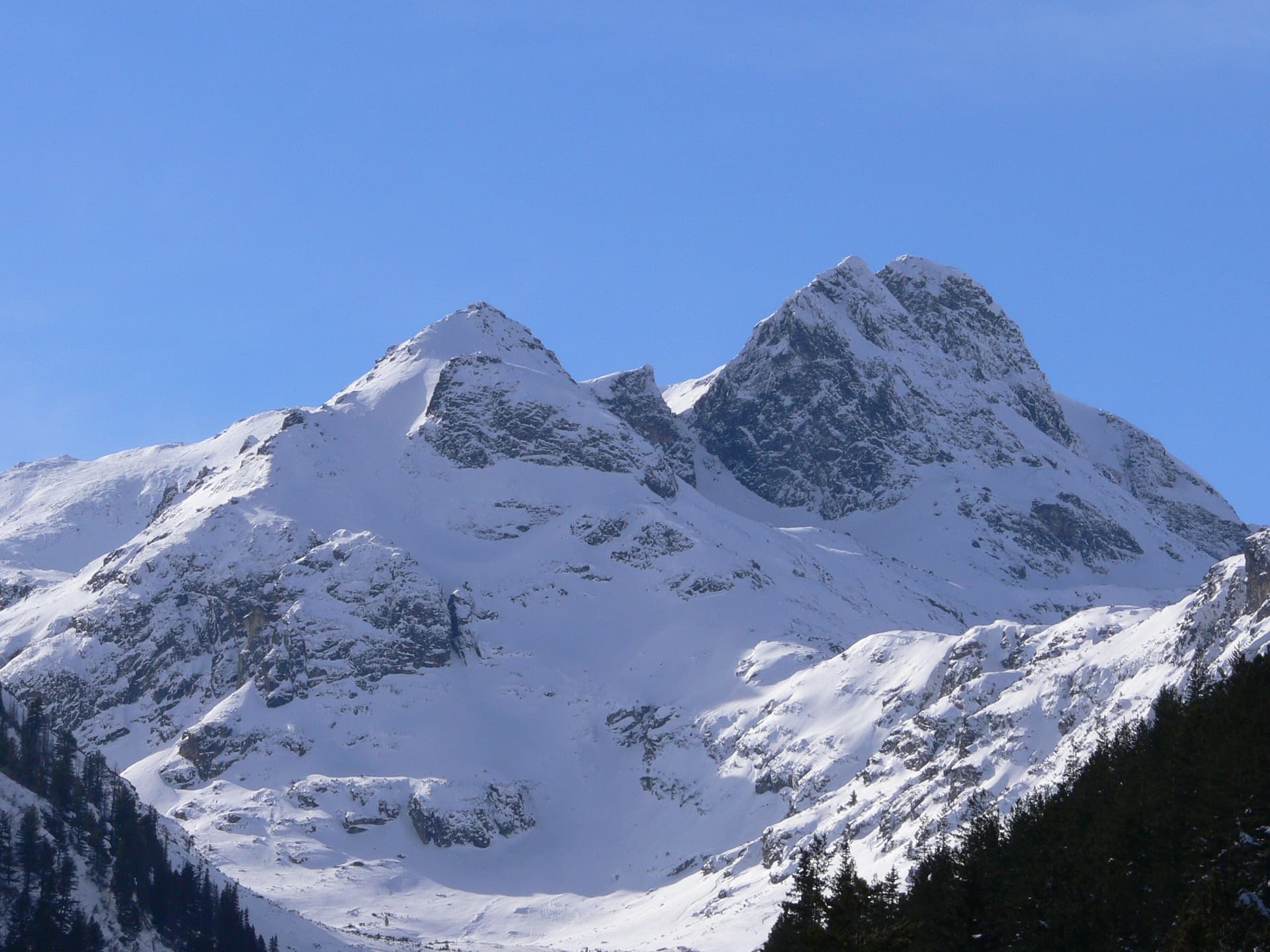
Mount Dodov Vrah is an imposing and iconic peak in the Rila Mountains, rising to an altitude of 2661 meters above sea level. It holds a significant geographical position as the westernmost peak within the alpine Malyovitsa region of the range. The summit is situated directly along the main Malyovitsa ridge line. Its northern slopes offer dramatic views over the picturesque cirque of the stunning Urdini Lakes, while its steep southern ridges descend toward the deep and secluded valley of the Drushlyavitsa River.
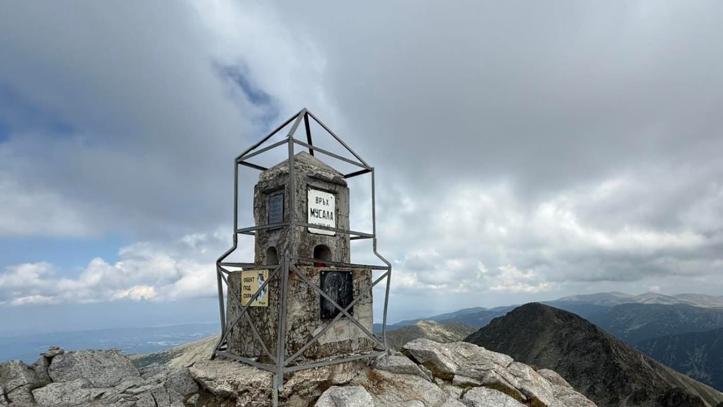
The peak is named in honor of the prominent Bulgarian cultural figure Nikola Dodov, who was a respected teacher and long-time high school headmaster in the town of Dupnitsa. He is remembered in national history as the founder of the local tourist society and one of the most passionate advocates for the construction of Skakavitsa Hut - the very first tourist mountain hut built in Bulgaria. Beyond his community leadership, Nikola Dodov is renowned for creating the first-ever relief map of the Rila Mountains. To commemorate his exceptional contributions to the development of Bulgarian mountaineering and regional exploration, an official memorial plaque has been placed at the absolute summit of the peak.
Mount Dodov Vrah is a popular stop for trekkers traversing the panoramic main ridge of the Malyovitsa section. The summit opens up to reveal breathtaking high-altitude vistas of the surrounding alpine peaks and glacial lakes, making it a perfect destination for summer hiking trips in Rila.

Kyustendil region
0.8 km away
Kyustendil region
1.5 km away
Sofia region
2.5 km away
Sofia region
2.5 km away
Dodov Peak is located in Sofia Province, Bulgaria.
Dodov Peak is most easily reached by car. Use the coordinates above to navigate, or open the location in OpenStreetMap or your preferred maps app for turn-by-turn directions. Public transport options vary by region — for remote destinations a rental car gives the most flexibility.
Late spring through early autumn (May–September) is best for Dodov Peak, when trails are clear of snow and weather is most stable. Higher peaks may hold snow into June and see fresh snow as early as October. Winter visits are for experienced mountaineers with proper gear.
Dodov Peak reaches an elevation of 2,661 metres above sea level.
Hiking boots, layered clothing, water (1.5–2 L per person), sun protection, and a windproof jacket — mountain weather changes quickly. For longer routes also bring a map (paper or offline), a head torch, and emergency rations. Tell someone your planned route and expected return time.