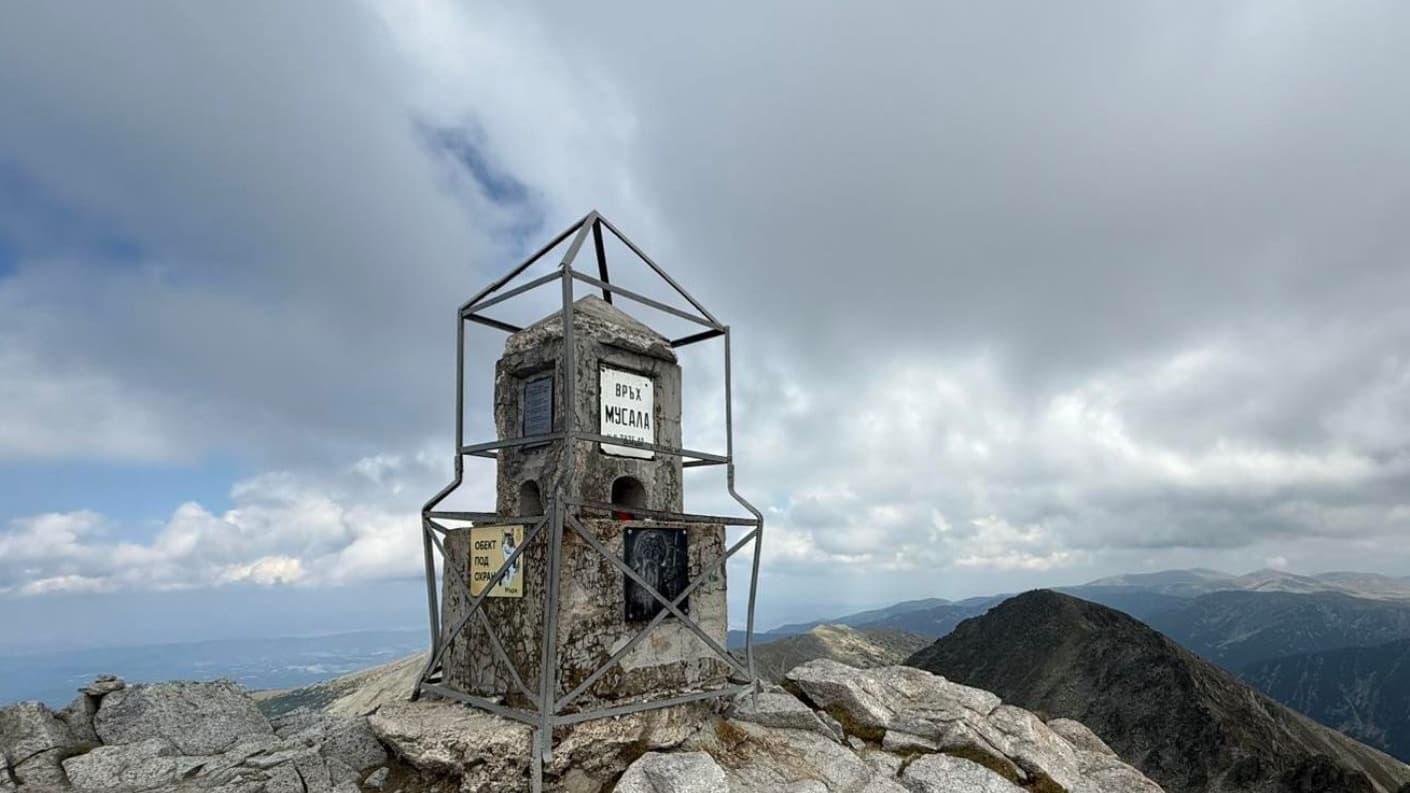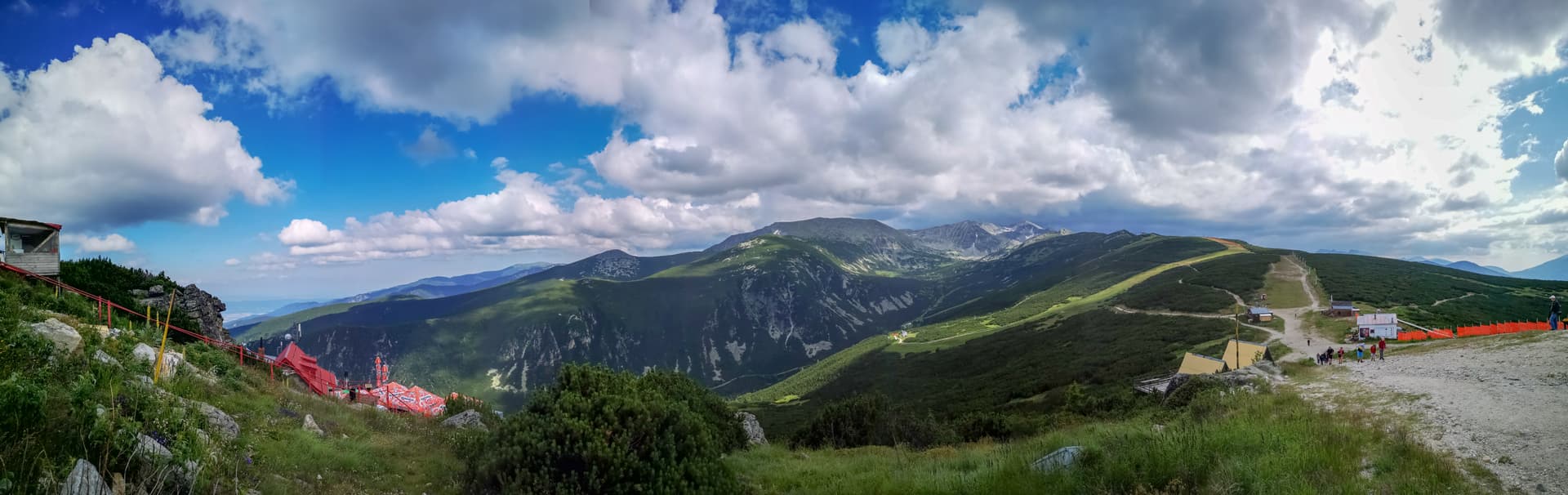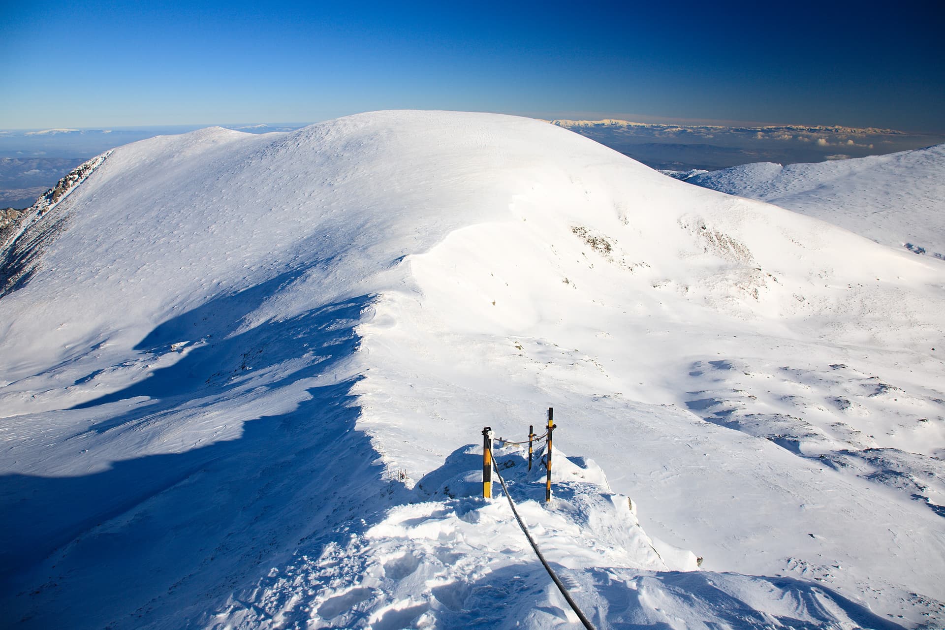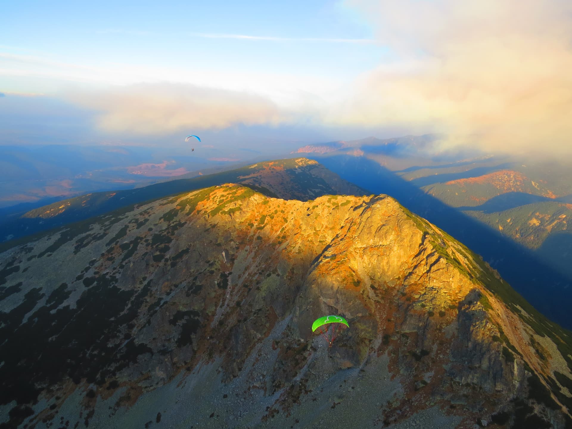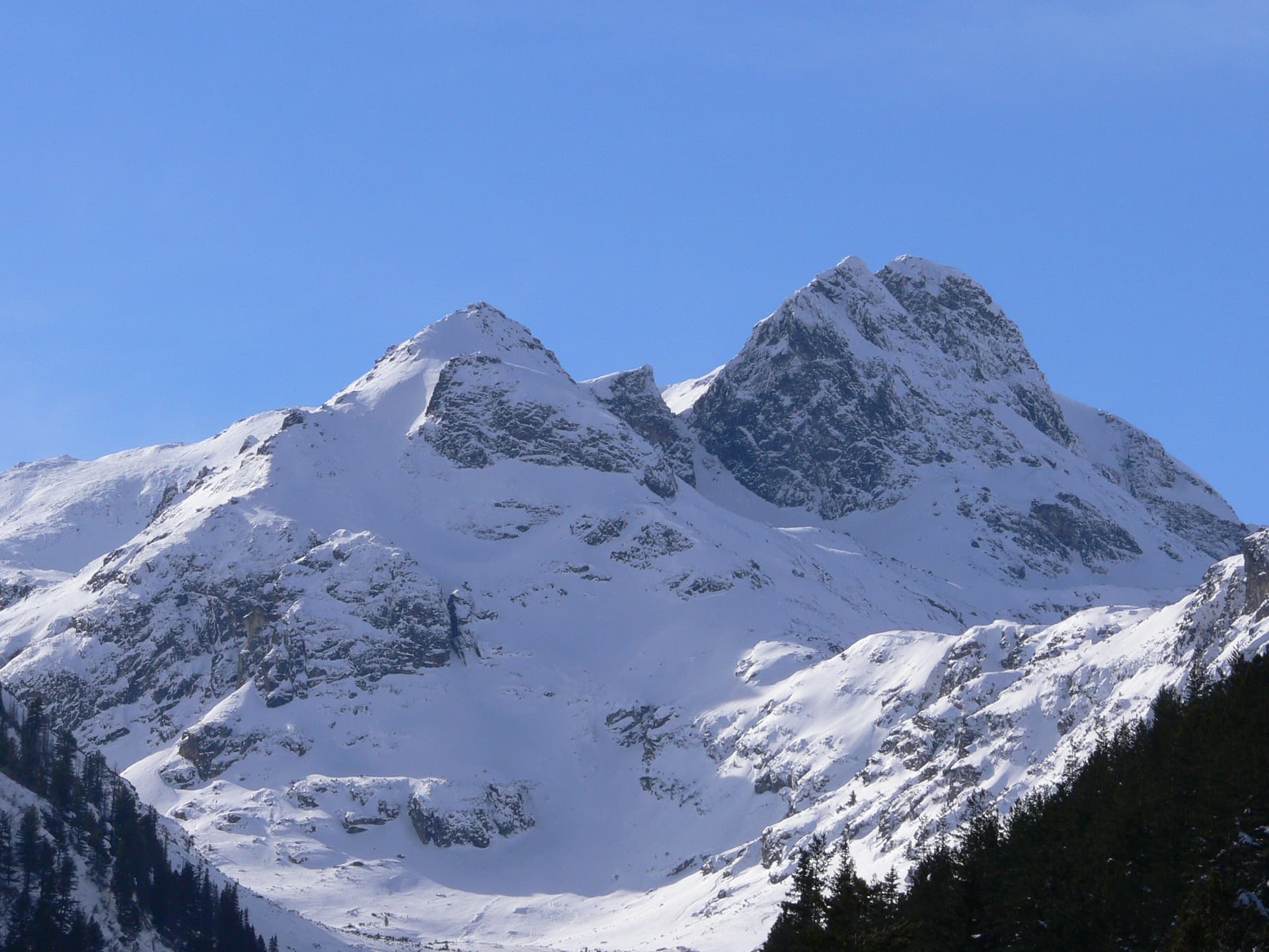
Malyovitsa Peak is one of the most captivating, recognizable, and historically significant mountain peaks in Bulgaria. Soaring to an impressive 2729 meters in the northwestern part of the Rila Mountains, its majestic silhouette serves as the ultimate symbol of Bulgarian mountaineering and alpine climbing.
The origin of its name is steeped in local lore; the most popular legend connects it to Malyo Voivoda, a brave fighter against the Ottoman oppressors who, according to tradition, perished somewhere in the Malyovitsa Valley. Another theory suggests that the name derives from the "Mali" (Small) Lakes located at its northeastern foot, while the oldest historical maps label the summit as Malevitsa.
The entire area surrounding the peak, including the Malyovitsa resort, is a premier tourist hub in Rila, attracting outdoor enthusiasts year-round. During the winter, the steep slopes of the Malyovitsa River valley offer exceptional terrain for freeride skiing and snowboarding, though the area is highly prone to avalanches and requires extreme caution and proper winter gear.
The peak holds a legendary status within the climbing community due to its formidable and nearly vertical northern and eastern slopes. Its iconic 124-meter northern wall was considered completely invincible for years. In the 1930s, numerous elite Slovenian, German, French, and Austrian expeditions failed to ascend past the first 60 meters, and the famous French climber Raymond Leininger officially declared the wall impossible to conquer. However, history was rewritten on August 23, 1938, when two Bulgarian climbers, Kosta Savadzhiev and Georgi Stoimenov, completed the historic first ascent, spending two grueling days and one night hanging on the sheer cliff. Later milestones include Diana Petkova becoming the first woman to conquer the wall in 1950, and Georgi Atanasov alongside Sandyu Beshev completing the daring first winter ascent in 1957.
For standard hikers, the primary gateway to the area is Malyovitsa Hut, nestled at the foot of the valley. From the chalet to the summit, a well-defined and marked trail guides hikers through a dramatic glacial valley, forming a segment of the international E4 long-distance walking route. The trek unfolds breathtaking alpine landscapes, passing the three Malyovishki Lakes nestled in the northern Malyovo Pole meadow, and the two deep Elenski Lakes tucked into a steep southeastern cirque. From the main Malyovitsa ridge, the trail pushes onward toward the vital Razdela crossroads, opening up connecting routes to Ivan Vazov Hut, the famous Seven Rila Lakes cirque, or a scenic descent toward the historic Rila Monastery.

Kyustendil region
0.7 km away
Kyustendil region
1.1 km away
Kyustendil region
1.6 km away
Kyustendil region
1.7 km away
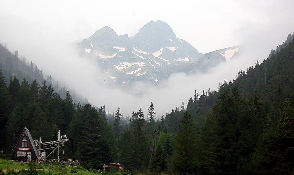
How to hike Malyovitsa (2,729 m), the cradle of Bulgarian mountaineering in northern Rila — the route from the resort and hut, parking, difficulty and season.
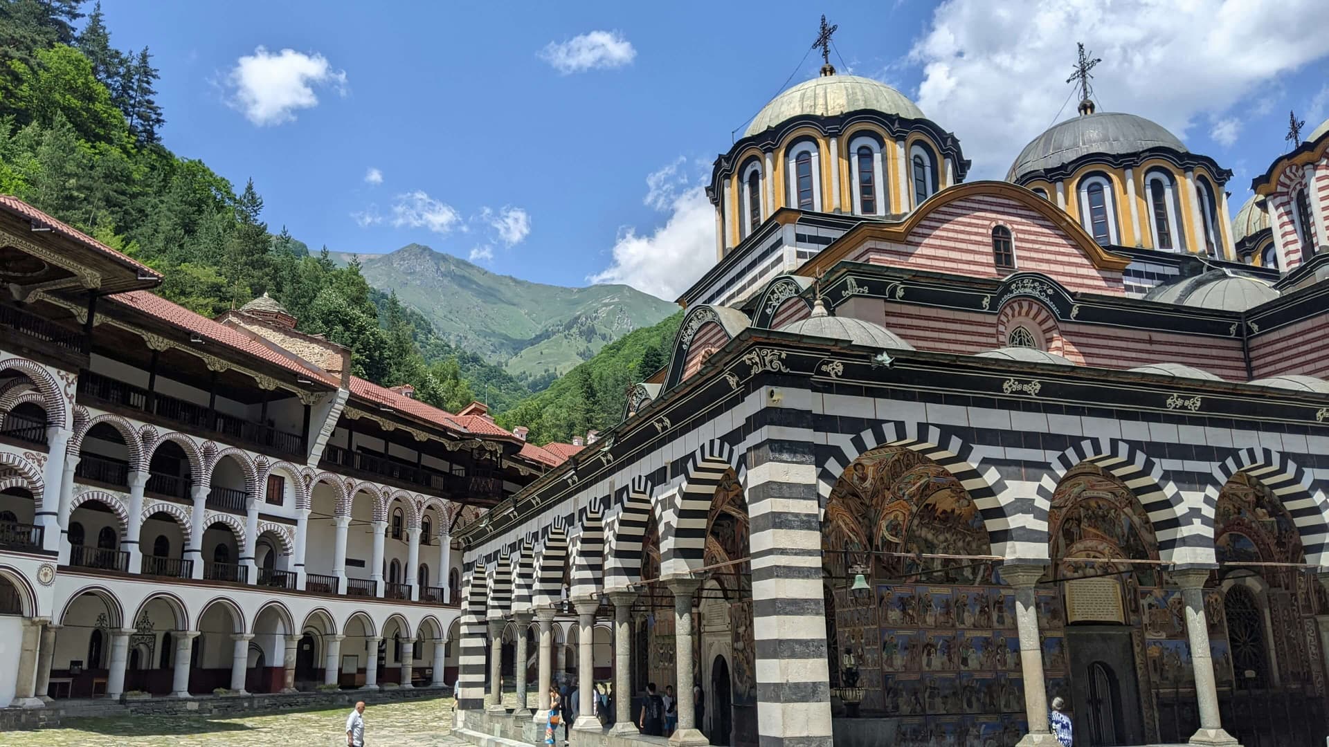
Plan a day trip to Rila Monastery from Sofia: driving distances, parking, how long to spend, family tips, what to see, and where to stay overnight.
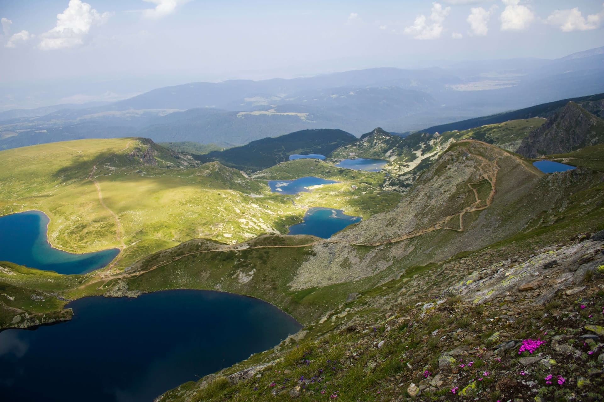
A complete guide to hiking the Seven Rila Lakes: the trailhead, chairlift prices and hours, the loop trail, parking, family tips, distances from Sofia, and where to stay.
Malyovitsa is located in Sofia Province, Bulgaria.
Malyovitsa is most easily reached by car. Use the coordinates above to navigate, or open the location in OpenStreetMap or your preferred maps app for turn-by-turn directions. Public transport options vary by region — for remote destinations a rental car gives the most flexibility.
Late spring through early autumn (May–September) is best for Malyovitsa, when trails are clear of snow and weather is most stable. Higher peaks may hold snow into June and see fresh snow as early as October. Winter visits are for experienced mountaineers with proper gear.
Malyovitsa reaches an elevation of 2,729 metres above sea level.
Hiking boots, layered clothing, water (1.5–2 L per person), sun protection, and a windproof jacket — mountain weather changes quickly. For longer routes also bring a map (paper or offline), a head torch, and emergency rations. Tell someone your planned route and expected return time.