MestalaMestala
HomePlacesMapTripBlogAboutFAQ
EN|БГ

Discover Bulgaria with Mestala.

AboutFAQLicensePrivacy
MountainsSofia Province

Damga (Vazov)

HomePlacesMountainsDamga (Vazov)
Elevation: 2,677 mCoordinates: 42.18654, 23.31822View on OpenStreetMap

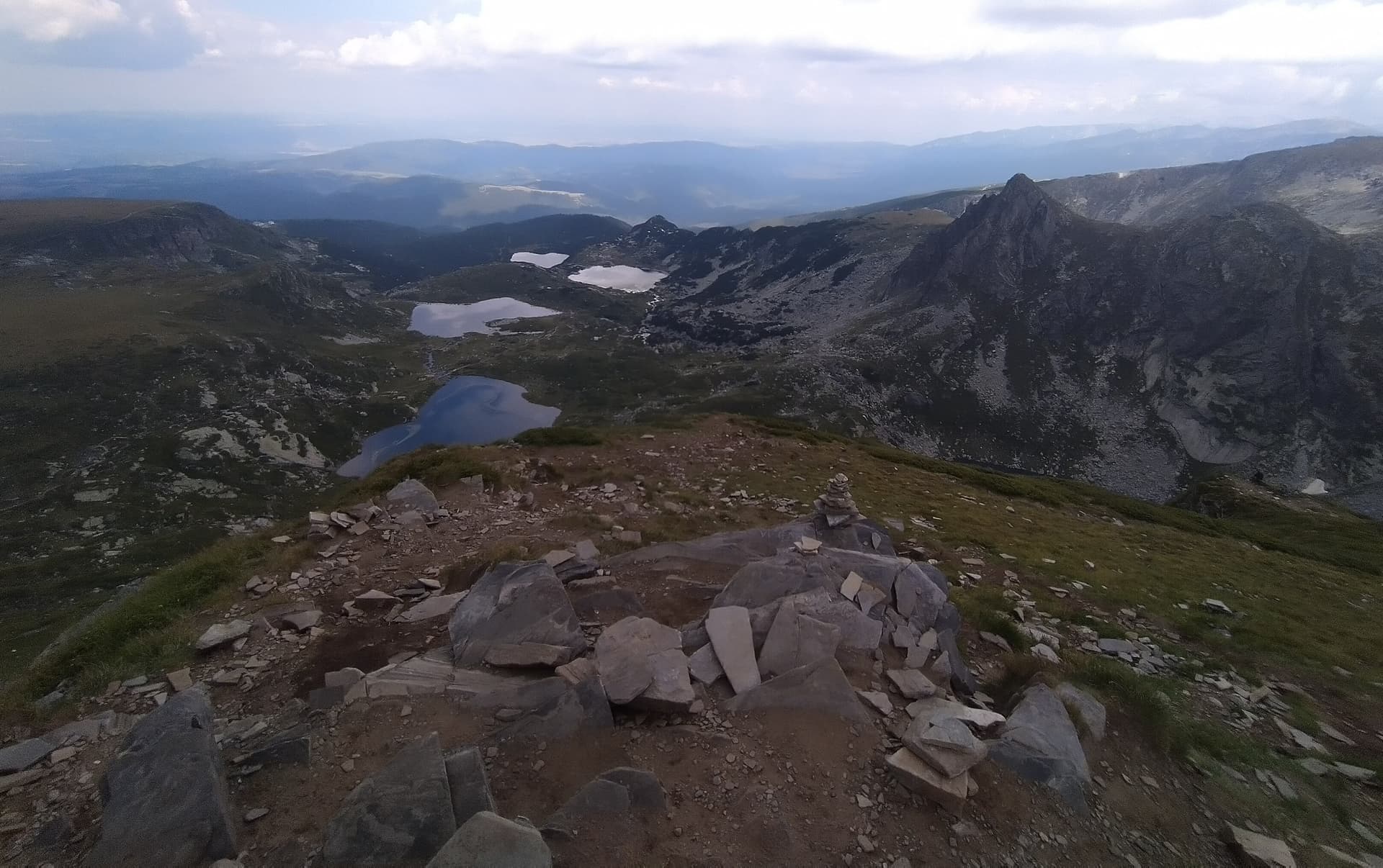
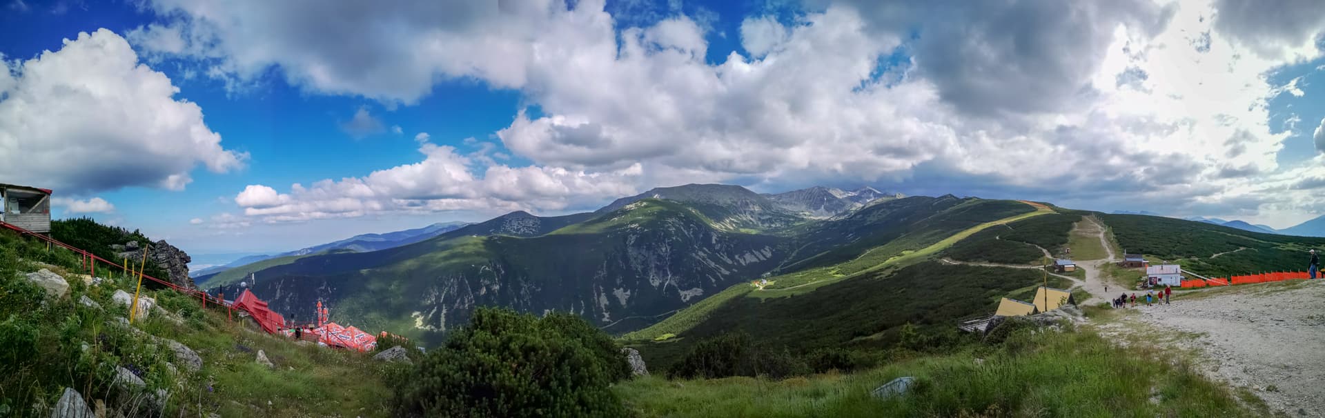
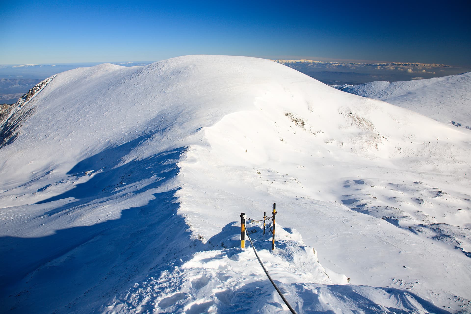
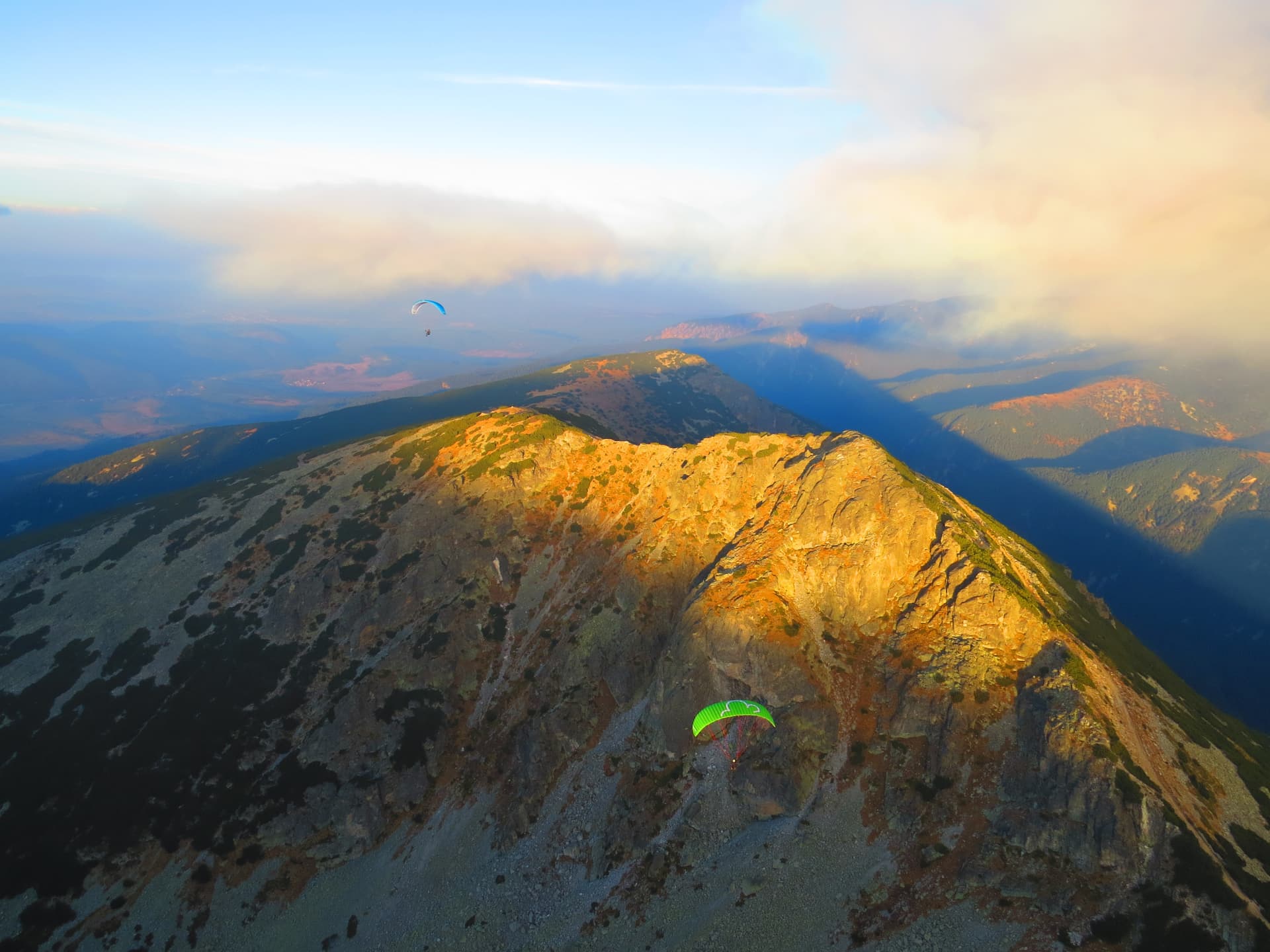
Damga Peak, also known as Vazov Peak, stands at 2,669 meters above sea level and serves as a vital orographic hub in the Rila Mountains. It acts as the bridge between the Malyovitsa and Otovitsa ridges, with the Main Balkan Watershed passing directly through its summit. The peak is characterized by its massive, dome-like silhouette that dominates the western landscape of the wild Urdin Cirque. Routes and Access The area surrounding Damga is a central crossroads for high-altitude trekking, connecting several of Rila’s most iconic locations. - From Ivan Vazov Hut: The summit is easily accessible, located just a 1-hour hike to the east. - From the Seven Rila Lakes: The trail from the "Seven Lakes" hut takes about 4 hours. This scenic route passes through the famous "Razdela" junction. - Traverse from Malyovitsa Hut: Both summer and winter trails toward Ivan Vazov Hut pass through or near the peak. While the summer trail skirts the summit, a short detour to the top offers breathtaking 360-degree views. Landscape and Topography Damga Peak displays a striking contrast between its sides: - Eastern Slopes: Steep, rocky, and dramatic, plunging down toward the pristine Urdini Lakes. - Western Slopes: Gentle, grassy undulations that lead into the vast alpine meadows of Malcho and Golyamo Pazardere. Practical Information - Markings: The main ridge trails are well-defined with red markings. - Winter Conditions: The area is prone to avalanches. Massive snow cornices form above the Urdin Cirque, requiring hikers to strictly follow the winter pole marking and exercise extreme caution. - Starting Points: Malyovitsa Resort or Panichishte (via the Seven Rila Lakes).

Nearby Places

Zeleni kamak
Mountains

Zeleni kamak

Sofia Province

1.2 km away

Ezeren Peak
Mountains

Ezeren Peak

Kyustendil

1.5 km away

Haramiyata
Mountains

Haramiyata

Kyustendil

1.5 km away

Salonite
Mountains

Salonite

Sofia Province

1.7 km away

More to explore

Musala
Mountains

Musala

Sofia Province

Ibar
Mountains

Ibar

Sofia Province

Ravni chal
Mountains

Ravni chal

Sofia Province

Glavinitsa
Mountains

Glavinitsa

Sofia Province

Frequently asked questions

Where is Damga (Vazov) located?

Damga (Vazov) is located in Sofia Province, Bulgaria.

How do I get to Damga (Vazov)?

Damga (Vazov) is most easily reached by car. Use the coordinates above to navigate, or open the location in OpenStreetMap or your preferred maps app for turn-by-turn directions. Public transport options vary by region — for remote destinations a rental car gives the most flexibility.

What is the best time to visit Damga (Vazov)?

Late spring through early autumn (May–September) is best for Damga (Vazov), when trails are clear of snow and weather is most stable. Higher peaks may hold snow into June and see fresh snow as early as October. Winter visits are for experienced mountaineers with proper gear.

How high is Damga (Vazov)?

Damga (Vazov) reaches an elevation of 2,677 metres above sea level.

What should I bring when visiting Damga (Vazov)?

Hiking boots, layered clothing, water (1.5–2 L per person), sun protection, and a windproof jacket — mountain weather changes quickly. For longer routes also bring a map (paper or offline), a head torch, and emergency rations. Tell someone your planned route and expected return time.