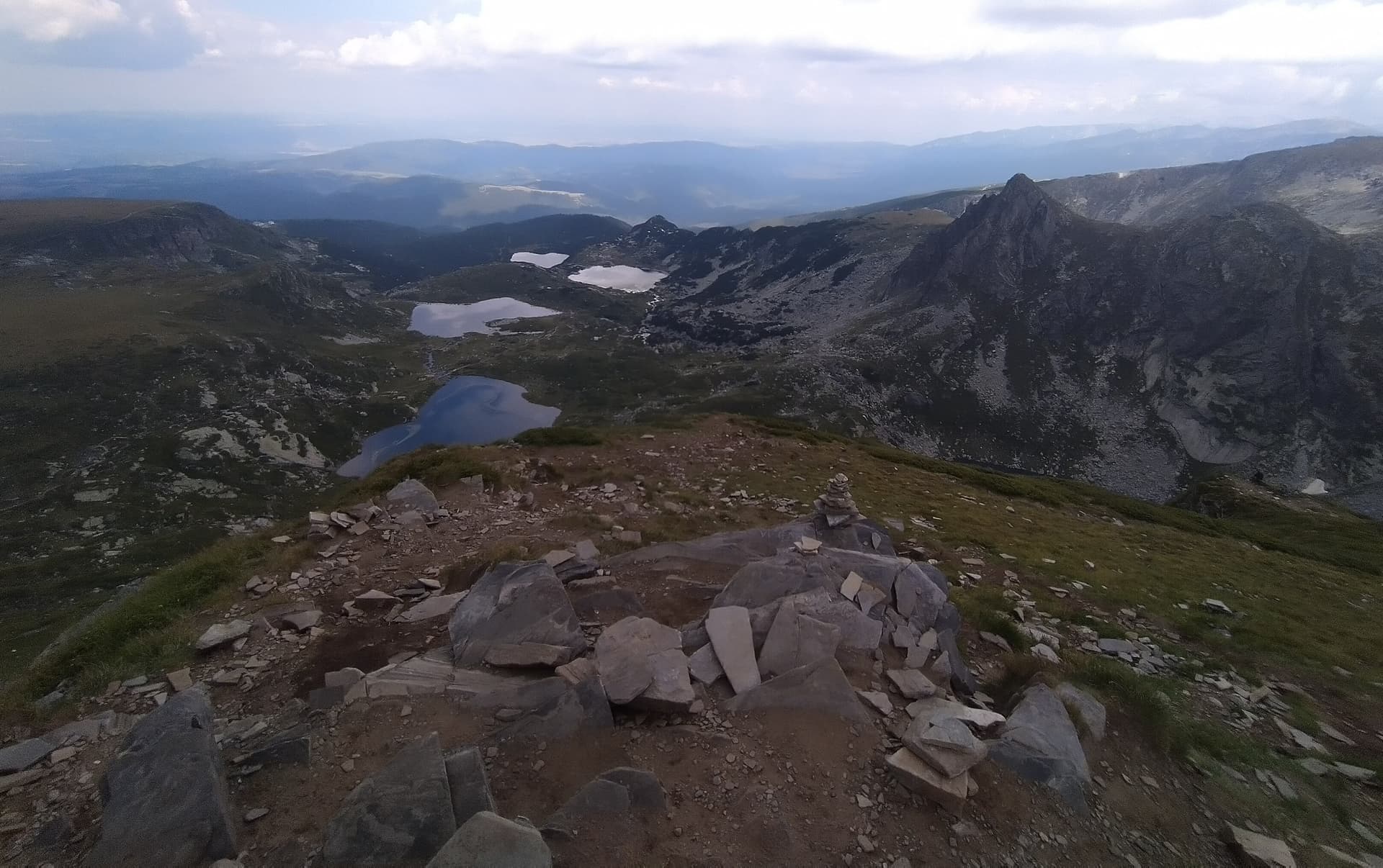
Zeleni Kamak (Green Stone) is a vast and impressive peak in Northwestern Rila, offering some of the most captivating panoramas over the mountain's glacial lakes. Rising north of the Urdini Cirque, the peak combines the serenity of grassy ridges with the dramatic backdrop of the surrounding alpine waters. It is a destination for hikers seeking a dynamic trek and authentic natural beauty. Natural Features and Landscapes - Terrain and Location: The peak is a broad, grassy massif dotted with small rocks and stones. It is situated east of the Razdela saddle and northeast of Damga Peak. - Lakeside Views: Its southwestern slopes plunge steeply toward Ribnoto Lake, while its southern slopes lead to the shallow Plitkacho Lake. From the top, hikers enjoy a majestic view of the entire Urdini Cirque. - Zeleni Rid Ridge: The peak is part of the strategic Zeleni Rid ridge, which acts as a watershed between the Urdina and Bela Voda rivers. Route Overview and Key Stages - Starting Point: Central Mountain School (CPSH). - Trek Dynamics: The route is highly dynamic, starting with a descent to cross the Malyovishka River, followed by a trek to Yavorova Polyana and the Urdina River. The real challenge lies in the steep and long ascent up the Zeleni Rid ridge. - Key Waypoints: Along the way, you will pass the "Kire Chuguno" shelter, an excellent spot to rest before the final push toward the summit. - Duration: The total journey from CPSH to the highest point takes just over 4 hours. Vital Safety and Preparation Tips - Preparation: The route is physically demanding due to significant elevation changes. It is highly recommended to plan this trek during long and stable summer days. - Navigation: Follow the ribbon and stake markings; however, reaching the actual summit requires navigating by the terrain features. Seasonality: This is a summer route!

Sofia Province
0.4 km away
Kyustendil
1.1 km away
Sofia Province
1.2 km away
Kyustendil
1.8 km away
Zeleni kamak is located in Sofia Province, Bulgaria.
Zeleni kamak is most easily reached by car. Use the coordinates above to navigate, or open the location in OpenStreetMap or your preferred maps app for turn-by-turn directions. Public transport options vary by region — for remote destinations a rental car gives the most flexibility.
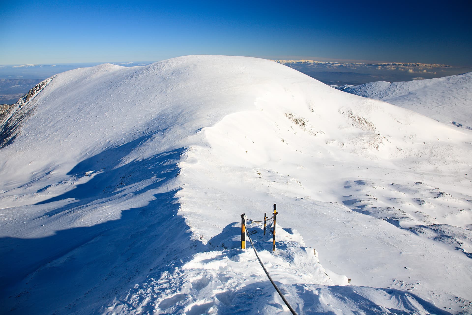
Late spring through early autumn (May–September) is best for Zeleni kamak, when trails are clear of snow and weather is most stable. Higher peaks may hold snow into June and see fresh snow as early as October. Winter visits are for experienced mountaineers with proper gear.
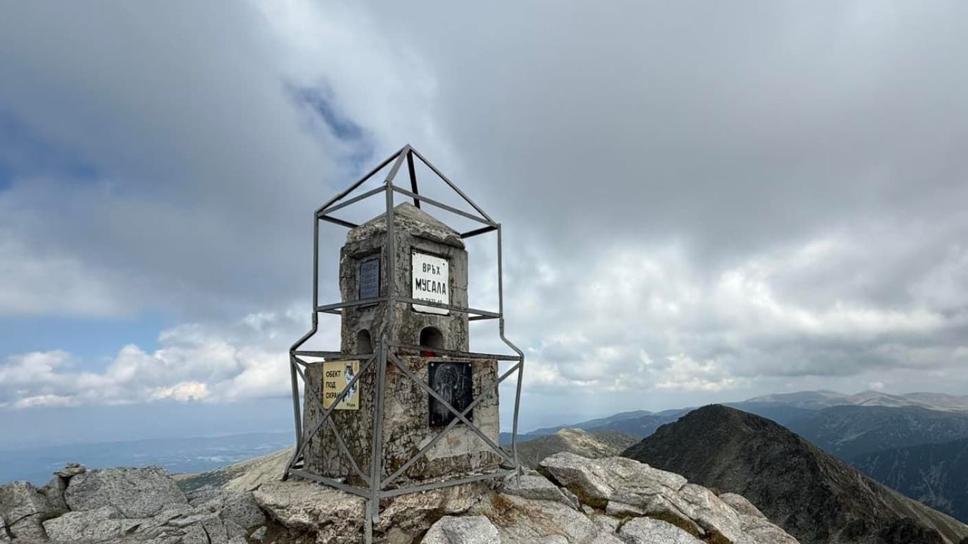
Zeleni kamak reaches an elevation of 2,588 metres above sea level.
Hiking boots, layered clothing, water (1.5–2 L per person), sun protection, and a windproof jacket — mountain weather changes quickly. For longer routes also bring a map (paper or offline), a head torch, and emergency rations. Tell someone your planned route and expected return time.