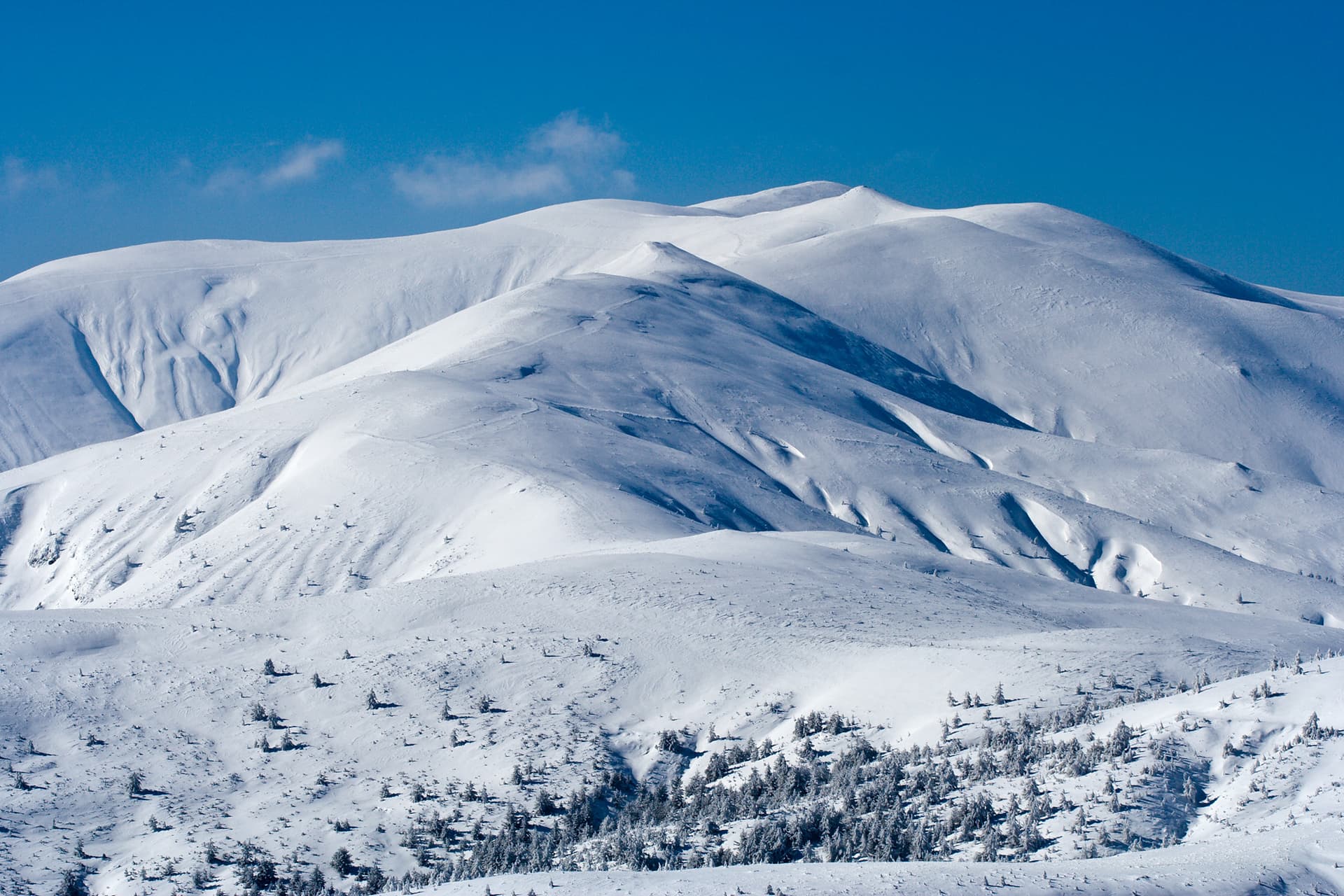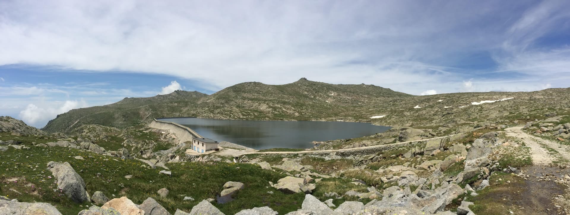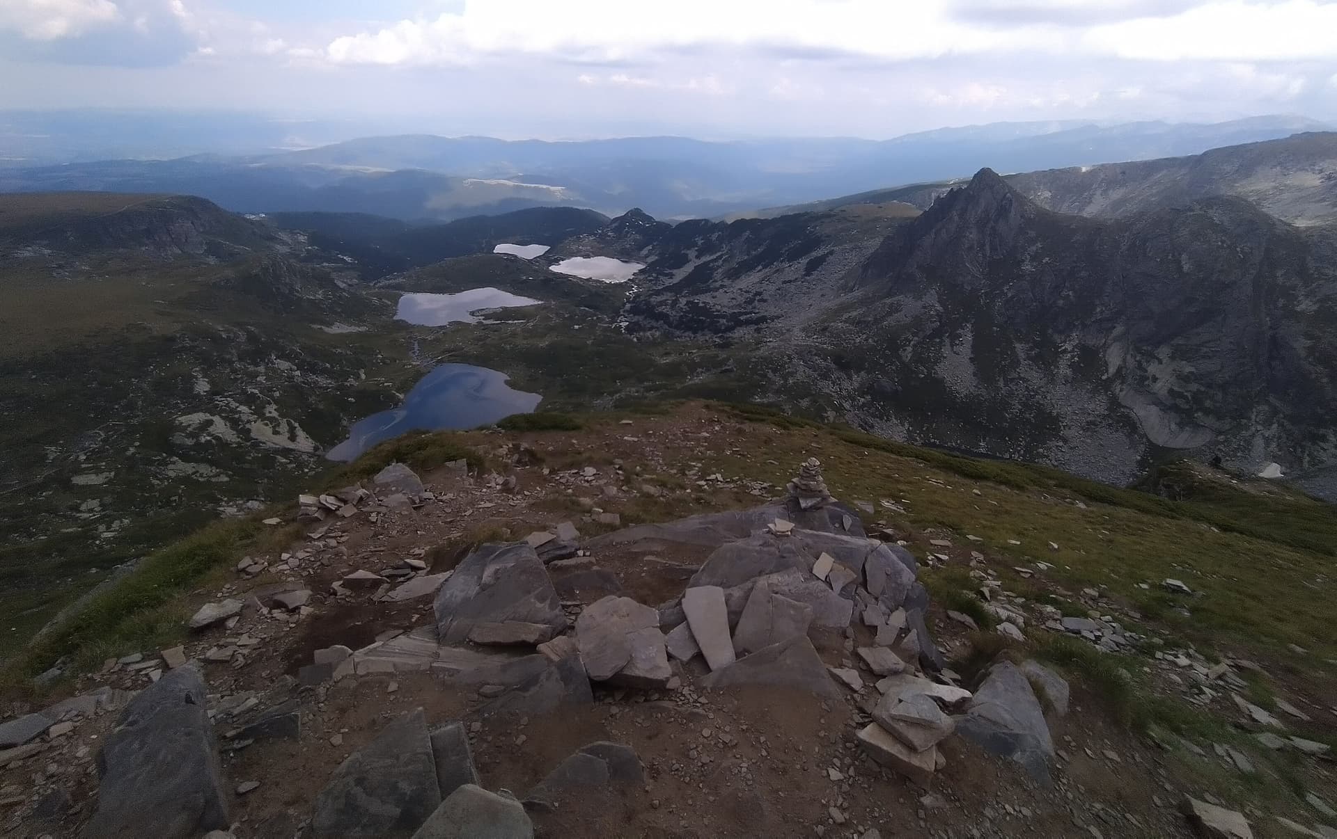
Ezeren Peak (Ezeren Vrah) is one of the most popular, scenic, and cherished summits in the Rila Mountains. Rising to an impressive altitude of 2560 meters above sea level, the peak is located right in the heart of the world-famous cirque of the Seven Rila Lakes. Its greatest asset and unique feature is that its summit offers a stunning, uninterrupted panoramic view from which all of the Seven Rila Lakes can be spotted simultaneously. In terms of its topography, the peak appears gentle and rounded when approached from the west and south, yet it displays a dramatic, imposing alpine profile with steep slopes descending into the glacier basin of Bliznaka (The Twin) Lake.
Ezeren Peak is easily accessible for hikers during the warm summer season thanks to well-marked tourist trails. The summit can be reached via two primary mountain routes:
The classic trek to Ezeren Peak begins at the Rilski Ezera mountain hut, with an average hiking time of approximately 2 hours one way. The trail is highly picturesque and is divided into several key sections:

Kyustendil region
0.9 km away
Kyustendil region
1.2 km away
Sofia region
1.5 km away
Ezeren Peak is located in Kyustendil, Bulgaria.
Ezeren Peak is most easily reached by car. Use the coordinates above to navigate, or open the location in OpenStreetMap or your preferred maps app for turn-by-turn directions. Public transport options vary by region — for remote destinations a rental car gives the most flexibility.
Late spring through early autumn (May–September) is best for Ezeren Peak, when trails are clear of snow and weather is most stable. Higher peaks may hold snow into June and see fresh snow as early as October. Winter visits are for experienced mountaineers with proper gear.
Ezeren Peak reaches an elevation of 2,560 metres above sea level.
Hiking boots, layered clothing, water (1.5–2 L per person), sun protection, and a windproof jacket — mountain weather changes quickly. For longer routes also bring a map (paper or offline), a head torch, and emergency rations. Tell someone your planned route and expected return time.