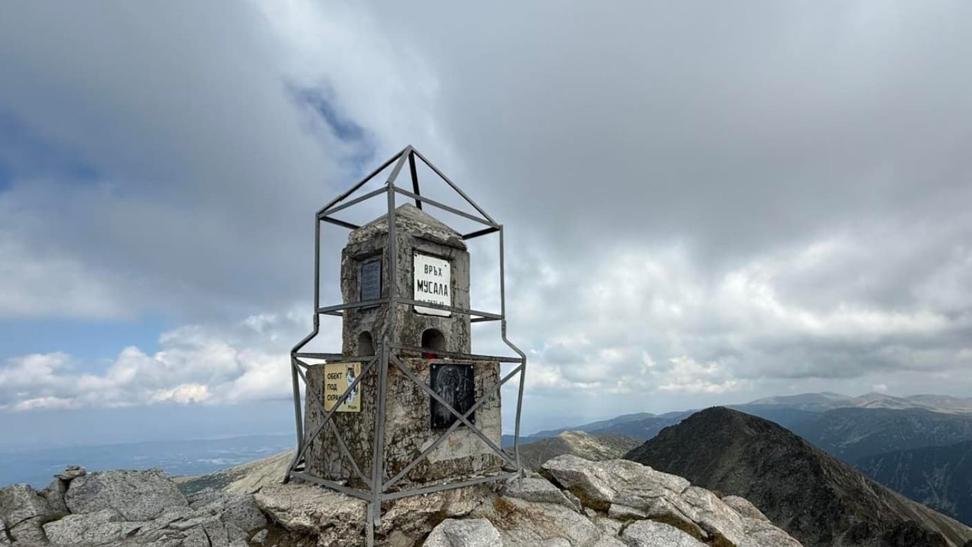
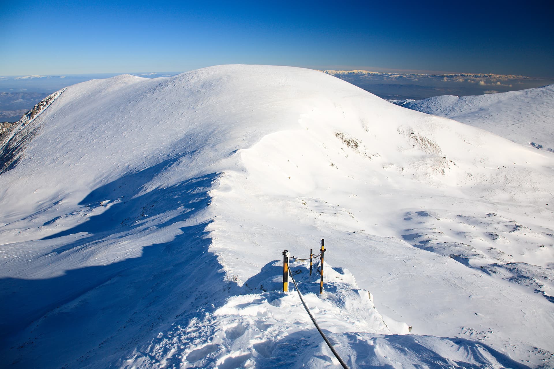
Zeleni Vrah is an imposing alpine peak (2526 m) located in the Shishkovishki section of Central Rila. Situated east of Venetsa Peak and south of Shishkovitsa Peak, it is defined by steep slopes that drop sharply southward toward the Beli Iskar River valley. The area is renowned for its rugged, untouched beauty and is home to the Chervivi and Zelenovrashki Lakes nestled at its base. Hiking Routes Zeleni Vrah is considered one of the most inaccessible peaks in the Rila Mountains due to the complete lack of marked trails, dense dwarf pine (klek) thickets, and technical rocky ridges. From Tiha Rila via Venetsa Peak (Main Route): Starting from the forest station at Tiha Rila, the route climbs through an unmarked coniferous forest into the Marinkovitsa River valley. From there, hikers must navigate the technical rocky ridge known as "Venetsa." The orientation is strictly by terrain features, requiring occasional scrambling. The total trekking time from Tiha Rila to the summit is approximately 5 hours. - Access from Kirilova Polyana: This option adds an extra 2-hour walk on a dirt road to reach the starting point unless using a high-clearance 4x4 vehicle. Geographic Features and Lakes The area surrounding the peak features several pristine glacial lakes: - Chervivi Lakes: Located at the northern foot of the peak. The smaller lake serves as a key landmark during the final ascent. - Zelenovrashki Lakes: Situated to the west/southwest, these lakes drain into a tributary of the Beli Iskar River. Practical Information - Transport: The main gateway is the resort of Malyovitsa or the town of Samokov towards Kirilova Polyana. Tiha Rila is accessible only via 4x4 vehicle or on foot. - Gear: Sturdy alpine boots and a GPS device are essential. Due to the dense dwarf pine, long trousers are recommended even in summer. - Safety Warning: The peak is highly exposed to winds. Avoid the route during wet weather or fog due to the dangerous rocky sections along the "Venetsa" ridge.

Sofia Province
1.5 km away
Kyustendil
2.4 km away
Blagoevgrad
2.9 km away
Sofia Province
3.3 km away
Zeleni vrah is located in Sofia Province, Bulgaria.
Zeleni vrah is most easily reached by car. Use the coordinates above to navigate, or open the location in OpenStreetMap or your preferred maps app for turn-by-turn directions. Public transport options vary by region — for remote destinations a rental car gives the most flexibility.
Late spring through early autumn (May–September) is best for Zeleni vrah, when trails are clear of snow and weather is most stable. Higher peaks may hold snow into June and see fresh snow as early as October. Winter visits are for experienced mountaineers with proper gear.
Zeleni vrah reaches an elevation of 2,526 metres above sea level.
Hiking boots, layered clothing, water (1.5–2 L per person), sun protection, and a windproof jacket — mountain weather changes quickly. For longer routes also bring a map (paper or offline), a head torch, and emergency rations. Tell someone your planned route and expected return time.