Zahlupen Bunar is one of the hidden gems of the Western Rhodopes, situated in the region of Dospat. Rising to over 1,800 meters above sea level, it offers visitors a perfect blend of rugged mountain nature, silence, and a profound sense of freedom. It is a place where history and nature converge to reveal some of the most impressive horizons in the region. Natural Beauty and Panoramas - Endless Horizons: The summit provides an incredible panoramic view of the rolling ridges of the Rhodope Mountains and nearby mountain peaks. - Wild Flora: The area is ideal for discovering various rare plant species characteristic of the high-altitude alpine zone. - Peace and Quiet: Far from the noise of major resorts, the peak is a sanctuary for those seeking solitude and crystal-clear mountain air. History and Routes - Historical Traces: Visitors can explore the old border markers remaining from the time when the boundary between Bulgaria and Greece ran through this area. - Flexible Options: The trail is suitable for both a short, refreshing ascent and as part of longer treks leading to nearby mountain huts. - Accessibility: The hike offers a pleasant outdoor workout amidst untouched nature, showcasing the authentic charm of Bulgaria's borderlands.
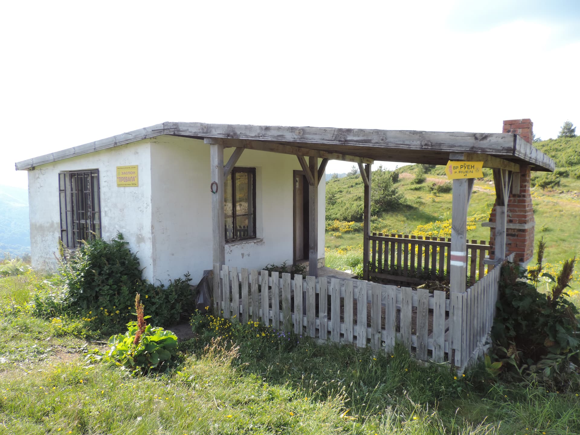
Smolyan
5.5 km away

Blagoevgrad
7.8 km away
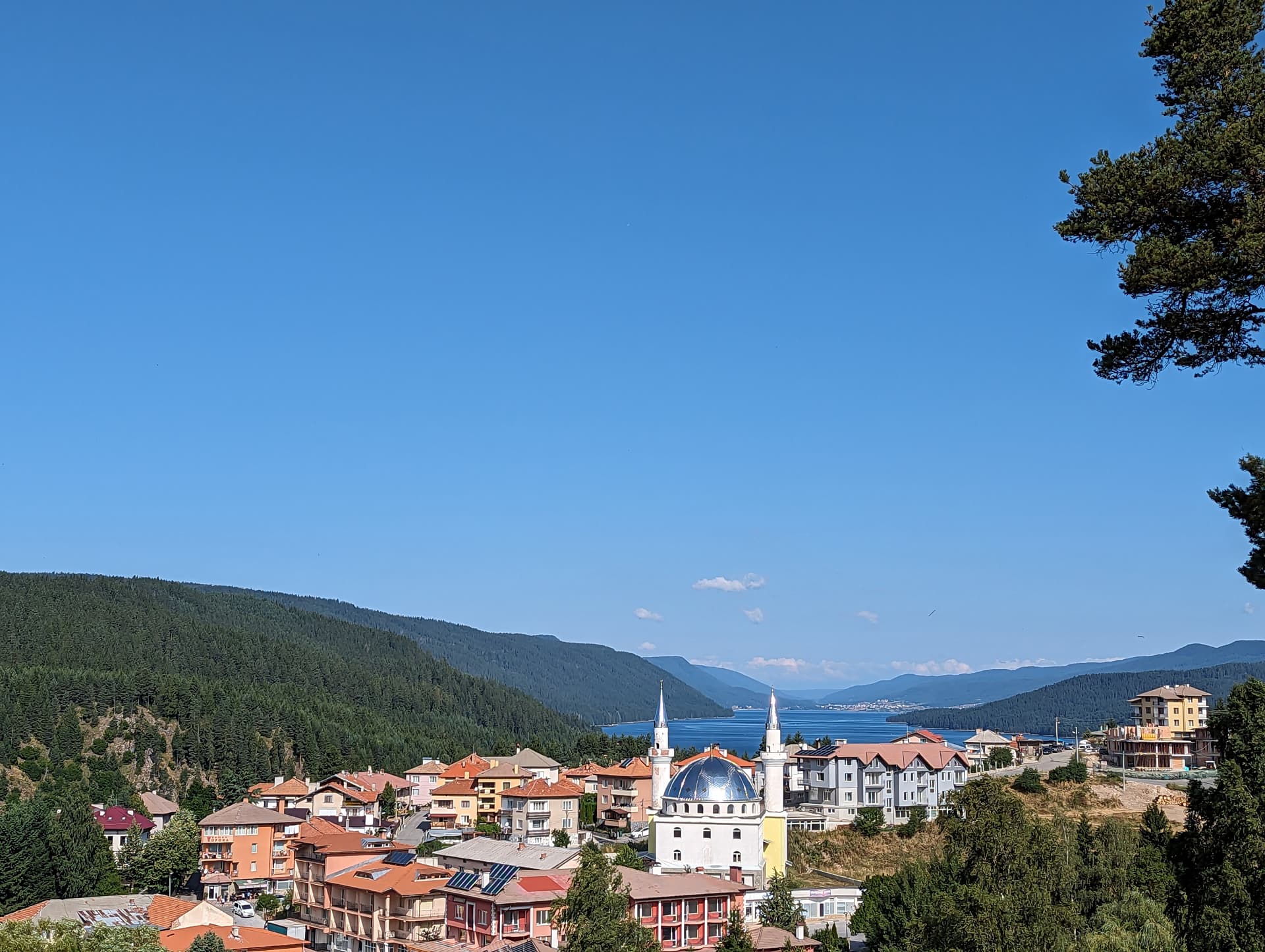
Smolyan
9.2 km away
Blagoevgrad
10.2 km away
Zahlupen bunar is located in Smolyan, Bulgaria.
Zahlupen bunar is most easily reached by car. Use the coordinates above to navigate, or open the location in OpenStreetMap or your preferred maps app for turn-by-turn directions. Public transport options vary by region — for remote destinations a rental car gives the most flexibility.
Late spring through early autumn (May–September) is best for Zahlupen bunar, when trails are clear of snow and weather is most stable. Higher peaks may hold snow into June and see fresh snow as early as October. Winter visits are for experienced mountaineers with proper gear.
Zahlupen bunar reaches an elevation of 1,255 metres above sea level.
Hiking boots, layered clothing, water (1.5–2 L per person), sun protection, and a windproof jacket — mountain weather changes quickly. For longer routes also bring a map (paper or offline), a head torch, and emergency rations. Tell someone your planned route and expected return time.