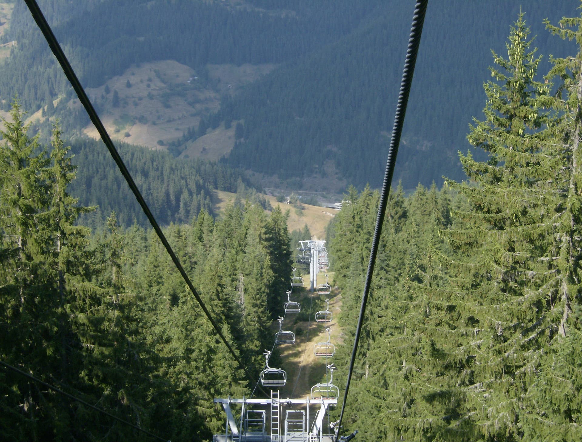
Mount Malak Persenk is the second-highest peak in the iconic Chernatitsa ridge, located within the central part of the Rhodope Mountains. Rising to an impressive altitude of 2074 meters above sea level, the peak stands out as a highly attractive destination for mountain trekking. To the southwest along the main ridge line, Malak Persenk is connected via a scenic saddle to the highest point of the range, Mount Golyam Persenk (2091 meters). To the north, the main mountain ridge stretches further, linking the trail with two other prominent regional peaks, Mount Cherven and Mount Modar.
Geologically, the massif of Malak Persenk is composed predominantly of specific volcanic rocks known as rhyolites. The slopes of the mountain are heavily forested, covered with dense, ancient coniferous woods of spruce and pine, which provide the area with the classic mystical atmosphere of the Rhodopes. Despite the thick forest canopy surrounding the area, the summit opens up to reveal a stunning, wide panoramic view to the south, looking over endless rolling mountain ridges.
Hiking Routes and Starting Points
Several well-maintained and marked pedestrian trails lead to the summit of Malak Persenk. Hikers can choose between two main starting points in the area:
The trek to Mount Malak Persenk is relatively accessible and pleasant, making it an excellent choice for a refreshing day trip into the crisp air and old-growth forests of the Rhodope Mountains.

Smolyan region
0.8 km away

Smolyan region
2.2 km away
Smolyan region
2.5 km away
Malak Persenk is located in Smolyan, Bulgaria.
Malak Persenk is most easily reached by car. Use the coordinates above to navigate, or open the location in OpenStreetMap or your preferred maps app for turn-by-turn directions. Public transport options vary by region — for remote destinations a rental car gives the most flexibility.
Late spring through early autumn (May–September) is best for Malak Persenk, when trails are clear of snow and weather is most stable. Higher peaks may hold snow into June and see fresh snow as early as October. Winter visits are for experienced mountaineers with proper gear.
Malak Persenk reaches an elevation of 2,074 metres above sea level.
Hiking boots, layered clothing, water (1.5–2 L per person), sun protection, and a windproof jacket — mountain weather changes quickly. For longer routes also bring a map (paper or offline), a head torch, and emergency rations. Tell someone your planned route and expected return time.