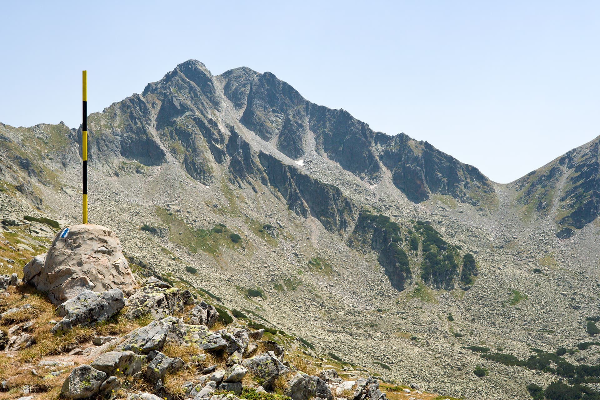
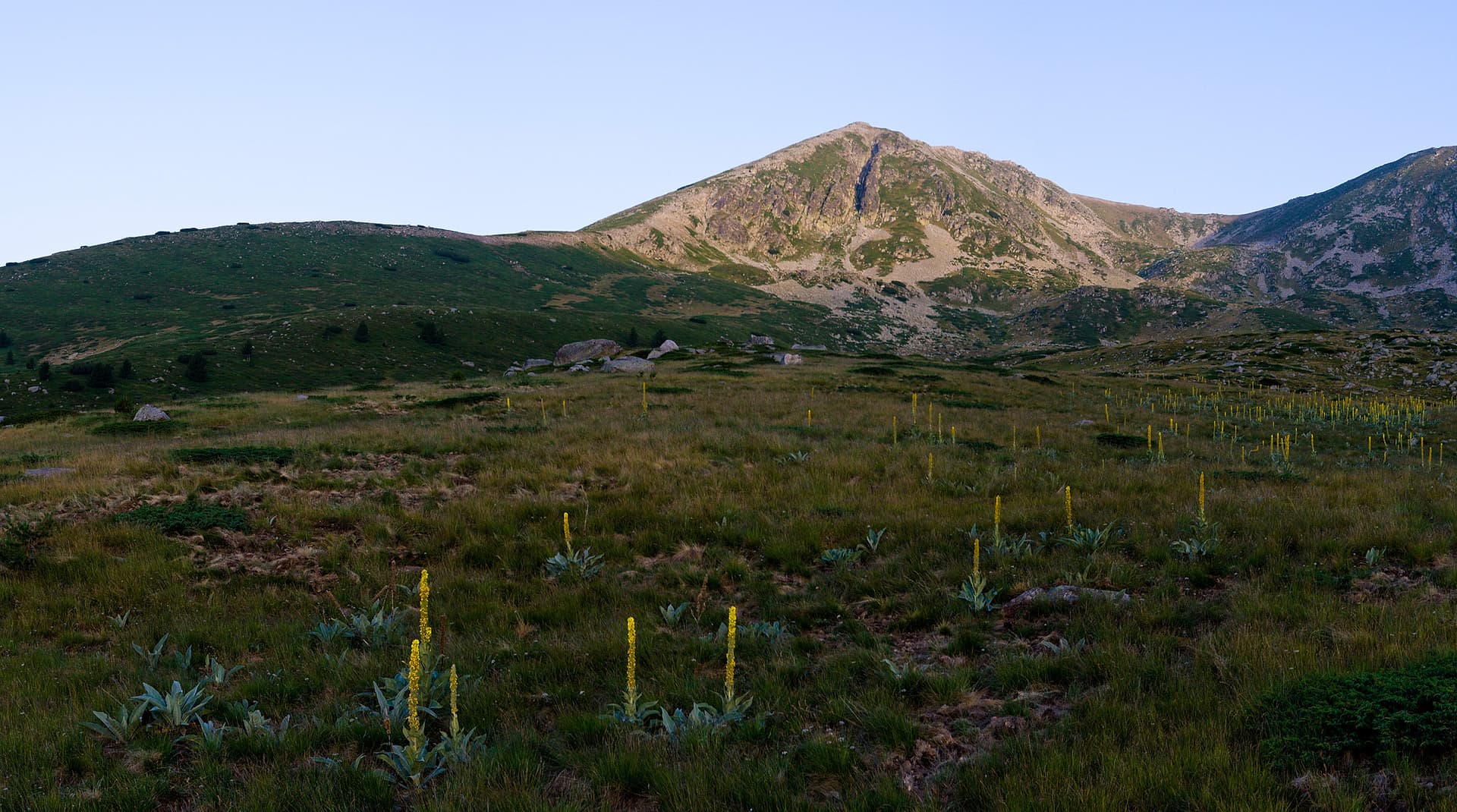
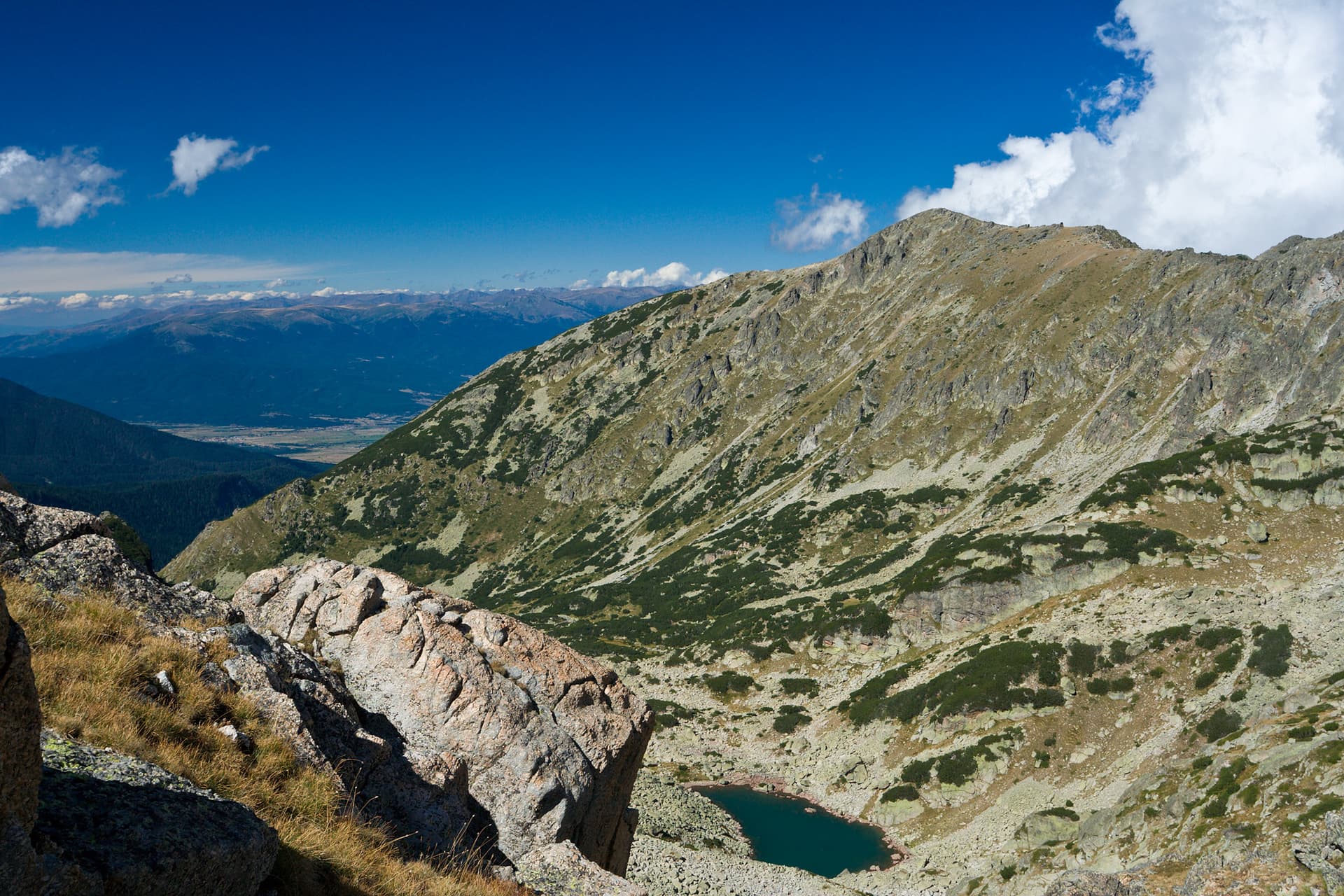
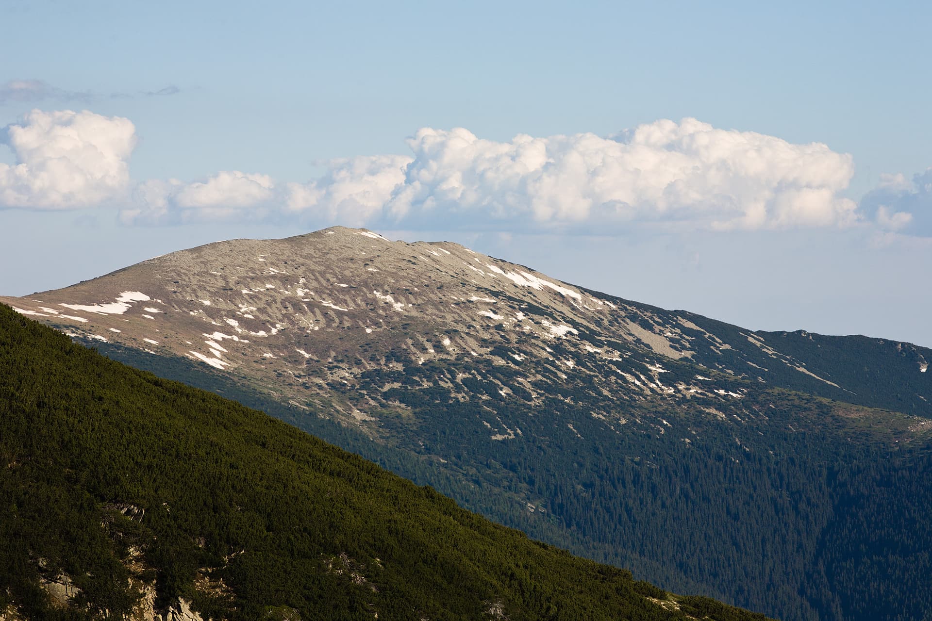
Vetrenitsa, a majestic embrace of Southwest Bulgaria, is a hidden gem in the Blagoevgrad region, offering an unparalleled experience for every mountain lover. Situated in the southwestern foothills of Pirin, yet preserving its own unique identity, this mountain beckons with pristine nature and tranquility, far from the city's noise and hurried daily life. It is an ideal destination for those seeking peace and a profound connection with the wild. Ascending its well-marked trails, you will discover ancient forests of beech, oak, and pine, where sunlight filters through the canopy, creating ever-changing scenes and a mystical atmosphere. Vetrenitsa is an ideal destination for both leisurely family walks and more challenging hikes to its higher reaches, revealing breathtaking panoramic views. From its peaks, a magnificent perspective unfolds towards the surrounding summits of Pirin, Rila, and Slavyanka, as well as the fertile Struma River valley. Here, the air is crystal clear, filled with the aroma of wild herbs, forest flowers, and resin, and encounters with wildlife – from elegant deer and roe deer to a variety of birds of prey and songbirds – are a common occurrence. Vetrenitsa is more than a mountain; it is a sanctuary for the soul, a place where one can reconnect with nature and enjoy true serenity in every season. Whether you are an avid hiker, a nature photographer, or simply seeking solitude, this mountain offers a wealth of experiences. Visit Vetrenitsa and discover its irresistible charm, which will make you return again and again, captivated by its wild beauty and genuine spirit.

Blagoevgrad
6.4 km away
Blagoevgrad
7.5 km away
Smolyan
7.8 km away
Blagoevgrad
8.2 km away
Vetrenitsa is located in Blagoevgrad, Bulgaria.
Vetrenitsa is most easily reached by car. Use the coordinates above to navigate, or open the location in OpenStreetMap or your preferred maps app for turn-by-turn directions. Public transport options vary by region — for remote destinations a rental car gives the most flexibility.
Late spring through early autumn (May–September) is best for Vetrenitsa, when trails are clear of snow and weather is most stable. Higher peaks may hold snow into June and see fresh snow as early as October. Winter visits are for experienced mountaineers with proper gear.
Vetrenitsa reaches an elevation of 1,051 metres above sea level.
Hiking boots, layered clothing, water (1.5–2 L per person), sun protection, and a windproof jacket — mountain weather changes quickly. For longer routes also bring a map (paper or offline), a head torch, and emergency rations. Tell someone your planned route and expected return time.