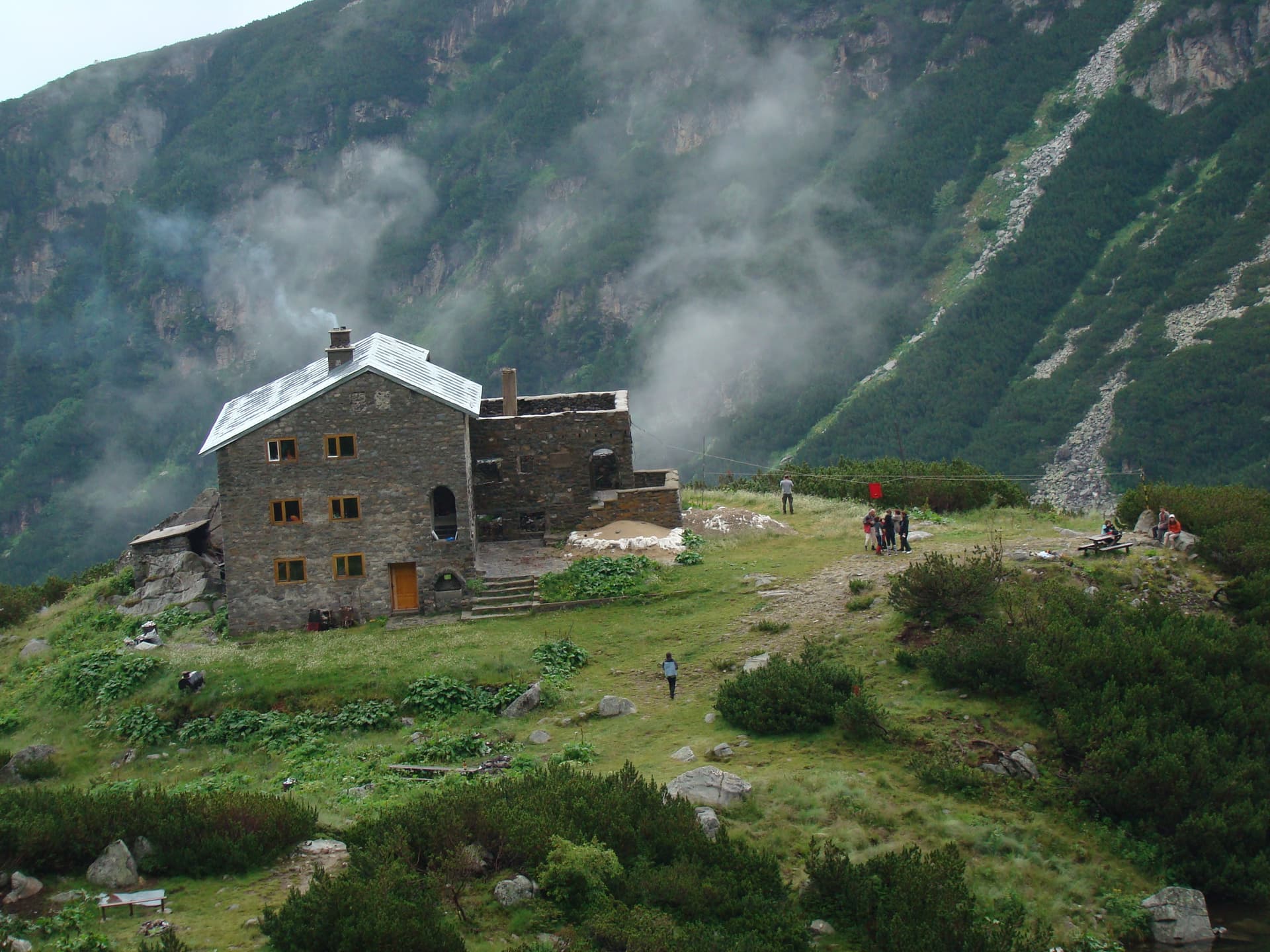
This is the most convenient and scenic route to reach Belmeken Hut. The trail offers a relatively easy hike with stunning views of the high-altitude Belmeken Dam, the Ryazhavitsa River valley, and the surrounding alpine peaks. The highlight of the trip is descending into the majestic cirque that houses the crystal-clear Ravnichal Lake and the cozy Belmeken Hut. Route Statistics - Starting Point: The parking area near the southeastern dam wall (near the sports facilities). - Duration: Approx. 2.5 hours (one way). - Marking: Red (changing to blue/yellow near the end). The path is clear and easy to navigate. - Terrain: Mostly dirt paths; rocky only during the final descent into the cirque. - Water: Available at the hut. Avoid drinking from streams due to local livestock. Trek Highlights The route starts with a steady incline, passing through low dwarf pine vegetation. You will walk parallel to the Ryazhavitsa River with views of Sivrichal Peak (2,642 m). After reaching the saddle between Belmeken and Ravni Chal peaks, the landscape shifts dramatically as you enter the rocky cirque. A short 10-minute steep descent leads directly to the lakeside hut. Further Adventures From the hut, you can choose to climb Belmeken Peak (2,626 m) for a circular return trip, or continue your journey towards Zavrachitsa Hut or the peaks of Ibor and Ravni Chal.
Blagoevgrad
1.3 km away
Sofia Province
2.2 km away

Sofia Province
2.3 km away
Blagoevgrad
2.8 km away
yaz. Belmeken - h. Belmeken is located in Blagoevgrad, Bulgaria.
yaz. Belmeken - h. Belmeken is most easily reached by car. Use the coordinates above to navigate, or open the location in OpenStreetMap or your preferred maps app for turn-by-turn directions. Public transport options vary by region — for remote destinations a rental car gives the most flexibility.
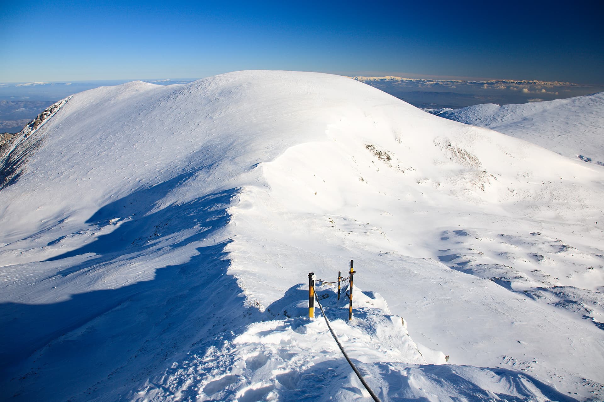
yaz. Belmeken - h. Belmeken is best walked from May through October, when the trail is clear of snow and weather is generally stable. Summer middays can be hot at lower altitudes — start early. Winter walking requires proper gear and route knowledge.
Suitability depends on the specific route. Bulgarian trails range from paved family-friendly paths to multi-day high-mountain crossings. Check the length, elevation gain, and surface before setting off. Sturdy footwear, water, and a basic map (offline or paper) are essential even on short walks.