MestalaMestala
HomePlacesMapTripBlogAboutFAQ
EN|БГ

Discover Bulgaria with Mestala.

AboutFAQLicensePrivacy
MountainsBlagoevgrad

Kameniti chal

HomePlacesMountainsKameniti chal
Elevation: 2,591 mCoordinates: 42.16338, 23.73018View on OpenStreetMap

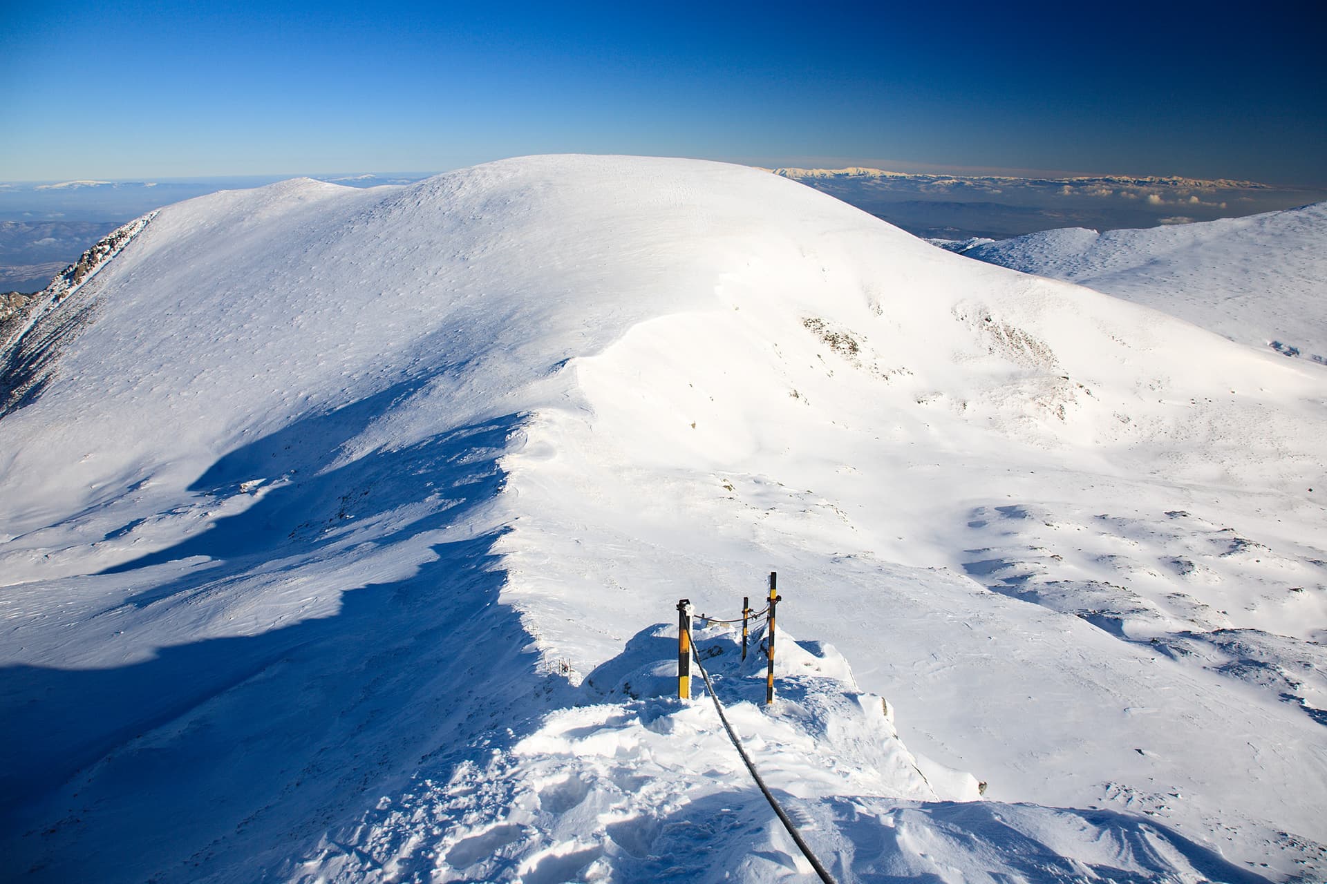
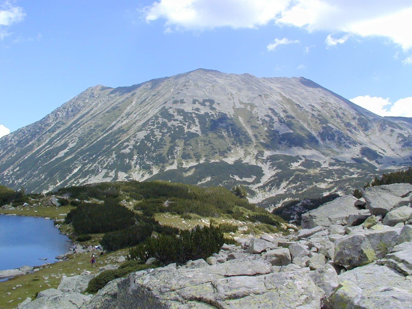
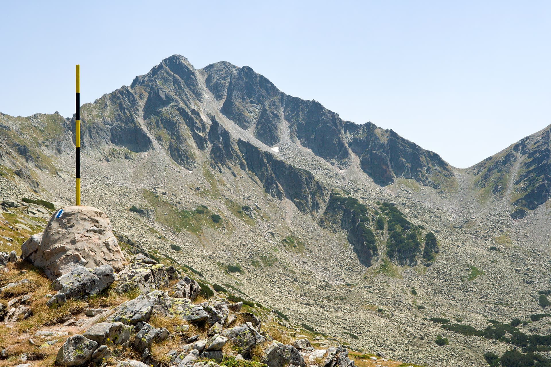
Rising majestically to 2532 meters above sea level, Kameniti Chal is one of the majestic sentinels of the Northern Pirin Mountains. Situated in the eponymous circus, northwest of Vihren Peak, it forms part of the Markovski Ridge and captivates with its rugged yet magnetic appearance. Its name, literally “Rocky Hill” or “Stone Peak,” perfectly describes its essence – a place sculpted by natural forces, where ancient rock formations tell timeless stories. The hike to Kameniti Chal is a challenging yet unparalleled experience. Routes, often commencing from Vihren Hut, offer incredible vistas and immerse hikers deep into the heart of the mountains. Once you set foot on the summit, you will be rewarded with a breathtaking 360-degree panorama. Your gaze will sweep across the jagged teeth of Vihren and Kutelo, the enchanting circuses with their crystal-clear lakes, and the vast green expanses stretching to the horizon. The crisp mountain air, the profound silence broken only by the whisper of the wind, and the feeling of boundless freedom make this place unforgettable. Here, you can admire unique alpine flora, encounter wild animals, and truly feel the immense power and beauty of Pirin. Kameniti Chal is an ideal destination for experienced mountaineers seeking adventure and stunning landscapes, especially during the summer and early autumn months. Prepare for an unforgettable journey amidst Bulgaria's natural wonders!

Nearby Places

Orta chal
Mountains

Orta chal

Blagoevgrad

1.5 km away

Ibar
Mountains

Ibar

Sofia Province

1.9 km away

Ravni chal
Mountains

Ravni chal

Sofia Province

2.5 km away

yaz. Belmeken - h. Belmeken
Trails

yaz. Belmeken - h. Belmeken

Blagoevgrad

2.8 km away

More to explore

Koncheto
Mountains

Koncheto

Blagoevgrad

Yalovarnika
Mountains

Yalovarnika

Blagoevgrad

Gotsev Peak
Mountains

Gotsev Peak

Blagoevgrad

Golena
Mountains

Golena

Blagoevgrad

Frequently asked questions

Where is Kameniti chal located?

Kameniti chal is located in Blagoevgrad, Bulgaria.

How do I get to Kameniti chal?

Kameniti chal is most easily reached by car. Use the coordinates above to navigate, or open the location in OpenStreetMap or your preferred maps app for turn-by-turn directions. Public transport options vary by region — for remote destinations a rental car gives the most flexibility.

What is the best time to visit Kameniti chal?

Late spring through early autumn (May–September) is best for Kameniti chal, when trails are clear of snow and weather is most stable. Higher peaks may hold snow into June and see fresh snow as early as October. Winter visits are for experienced mountaineers with proper gear.

How high is Kameniti chal?

Kameniti chal reaches an elevation of 2,591 metres above sea level.

What should I bring when visiting Kameniti chal?

Hiking boots, layered clothing, water (1.5–2 L per person), sun protection, and a windproof jacket — mountain weather changes quickly. For longer routes also bring a map (paper or offline), a head torch, and emergency rations. Tell someone your planned route and expected return time.