MestalaMestala
HomePlacesMapTripBlogAboutFAQ
EN|БГ

Discover Bulgaria with Mestala.

AboutFAQLicensePrivacy
MountainsSofia Province

Cherveni peak

HomePlacesMountainsCherveni peak
Elevation: 2,408 mCoordinates: 42.19160, 23.76192View on OpenStreetMap

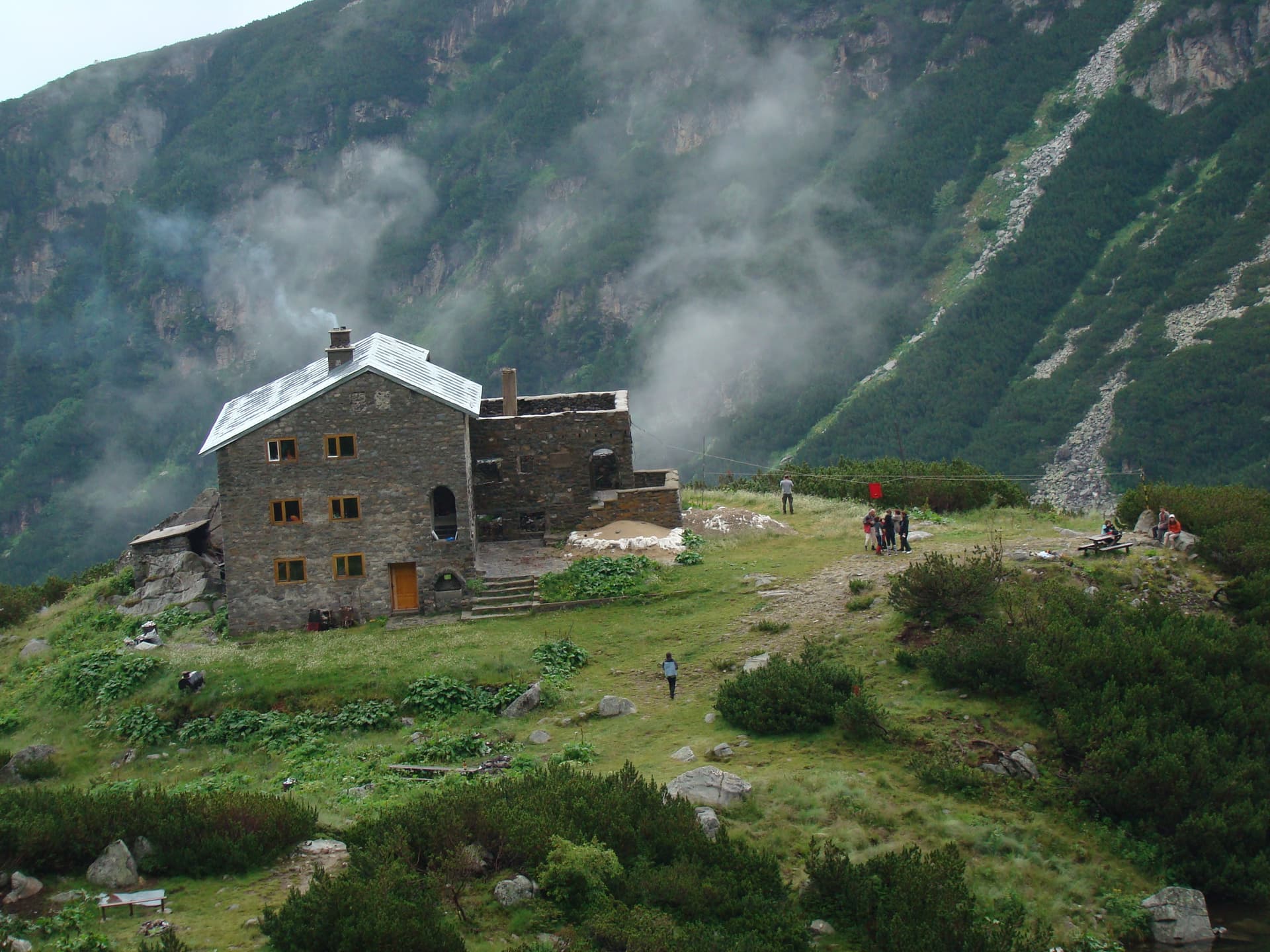
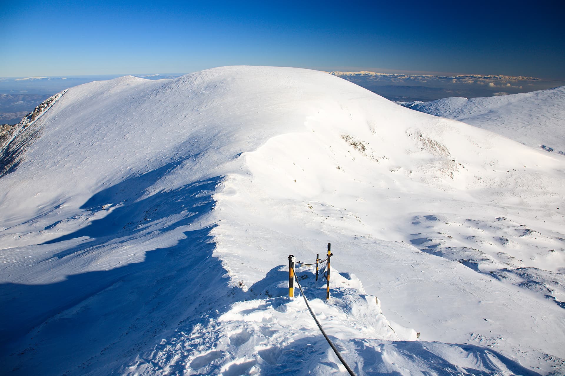
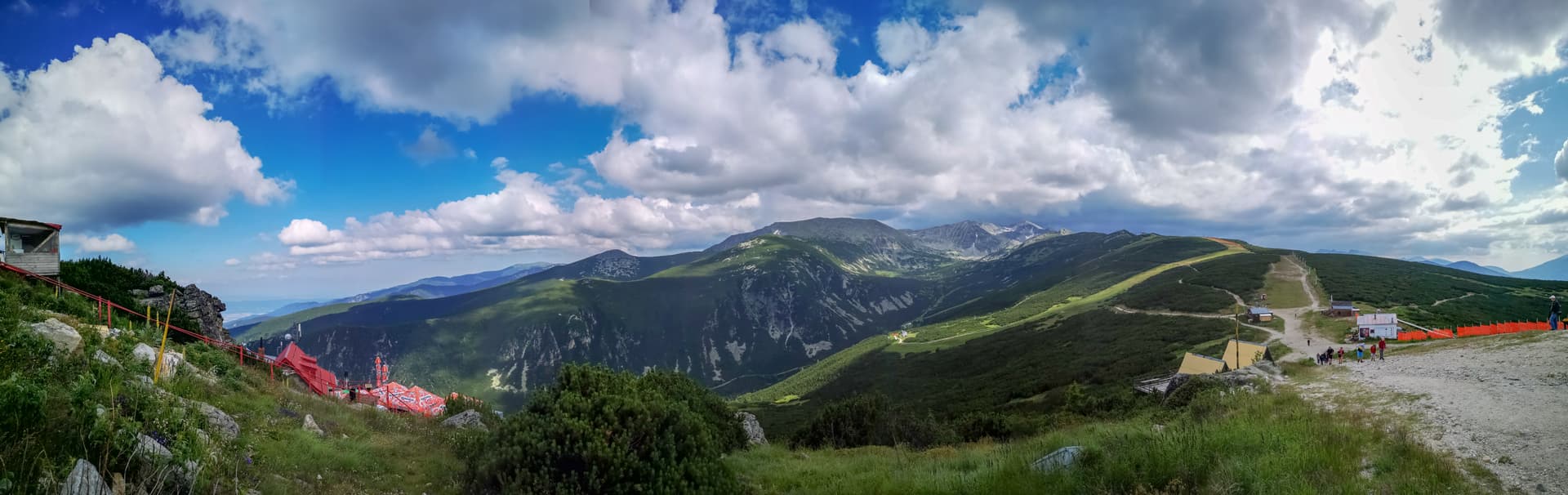
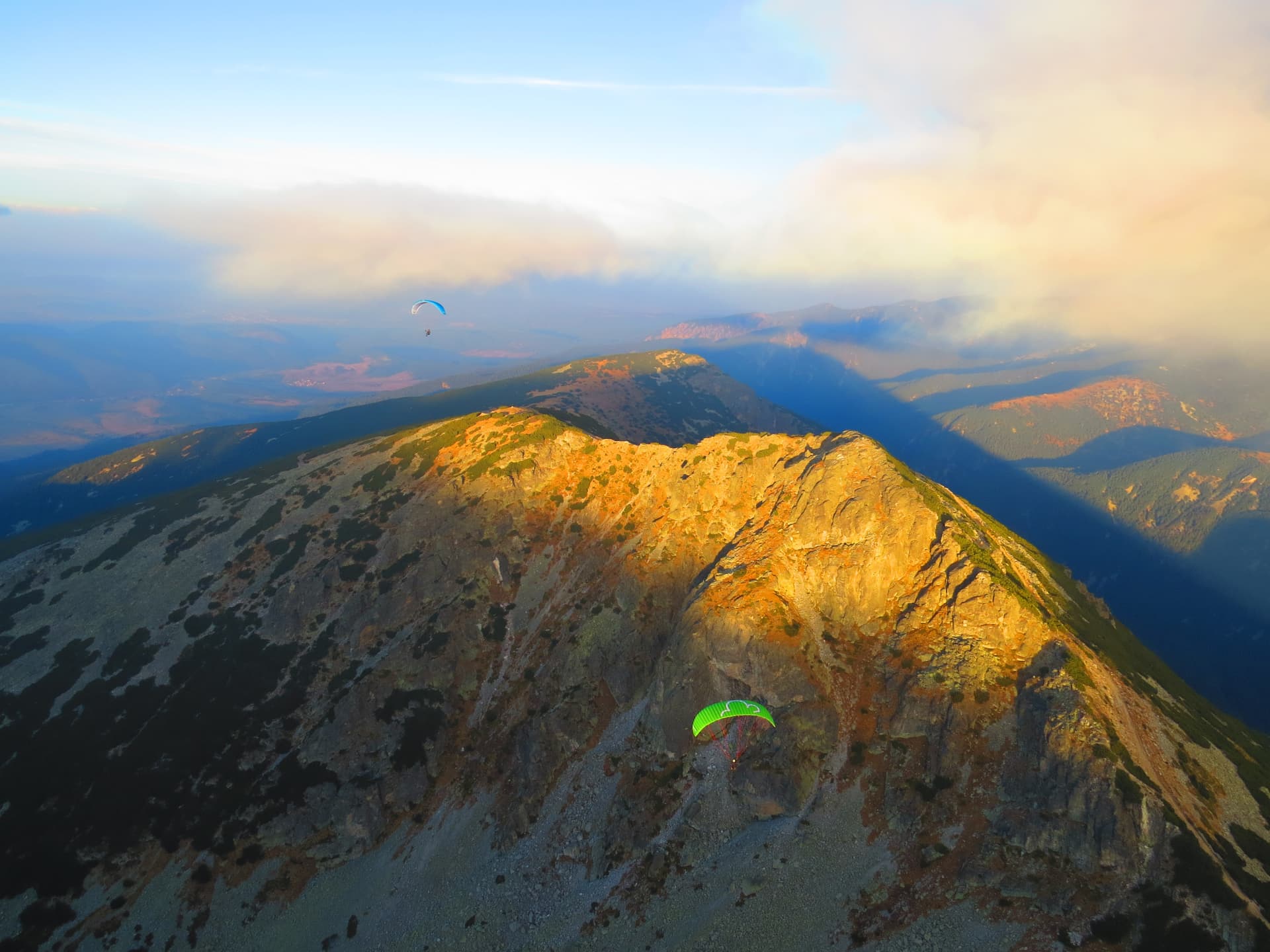
Cherveni Vrah Peak is a prominent summit in the Eastern Rila Mountains, rising above the picturesque Ibar River valley. As part of the main watershed between the Maritsa and Ibar rivers, the peak offers a stunning alpine landscape and a sense of true wilderness. Hiking and Summit Views The primary starting point for reaching Cherveni Vrah is Belmeken Hut. The ascent features moderate difficulty and crosses high-altitude terrain with rocky formations known for their unique reddish hue (giving the peak its name: "Red Peak"). From the top, hikers can enjoy 360-degree views of the Belmeken Reservoir, the surrounding Rila peaks, and even the Rhodope and Pirin mountains in the distance. Base Camp: Belmeken Hut Located at 2224 m above sea level by the shores of Ravnichalsko Lake, the hut is a vital shelter in the region. - Amenities: A solid three-story stone building with a capacity of 45 beds. It is heated by wood stoves and uses a generator for basic electrical needs. - Dining: During the summer season, the kitchen serves traditional Bulgarian bean soup, grilled meats, and fresh breakfast options like French toast. - Winter Safety: In winter, the hut operates upon request, but an emergency room for 10 people is always left open for hikers in distress. Location & Getting There - Please note that Belmeken Hut and Cherveni Vrah are accessible only on foot: From Kostenets Waterfall (Kostenets Villas): A 5-hour hike through scenic mountain trails. - 4x4 Transport: High-clearance vehicles can shorten the trip to about 3 hours by driving to a specific point, but this must be arranged in advance with the mountain guide (hut keeper).

Nearby Places

Belmeken
Mountains

Belmeken

Blagoevgrad

1.5 km away

Ravni chal
Mountains

Ravni chal

Sofia Province

1.8 km away

yaz. Belmeken - h. Belmeken
Trails

yaz. Belmeken - h. Belmeken

Blagoevgrad

2.3 km away

Ibar Reserve
Trails

Ibar Reserve

Sofia Province

2.7 km away

More to explore

Musala
Mountains

Musala

Sofia Province

Ibar
Mountains

Ibar

Sofia Province

Ravni chal
Mountains

Ravni chal

Sofia Province

Glavinitsa
Mountains

Glavinitsa

Sofia Province

Frequently asked questions

Where is Cherveni peak located?

Cherveni peak is located in Sofia Province, Bulgaria.

How do I get to Cherveni peak?

Cherveni peak is most easily reached by car. Use the coordinates above to navigate, or open the location in OpenStreetMap or your preferred maps app for turn-by-turn directions. Public transport options vary by region — for remote destinations a rental car gives the most flexibility.

What is the best time to visit Cherveni peak?

Late spring through early autumn (May–September) is best for Cherveni peak, when trails are clear of snow and weather is most stable. Higher peaks may hold snow into June and see fresh snow as early as October. Winter visits are for experienced mountaineers with proper gear.

How high is Cherveni peak?

Cherveni peak reaches an elevation of 2,408 metres above sea level.

What should I bring when visiting Cherveni peak?

Hiking boots, layered clothing, water (1.5–2 L per person), sun protection, and a windproof jacket — mountain weather changes quickly. For longer routes also bring a map (paper or offline), a head torch, and emergency rations. Tell someone your planned route and expected return time.