The route leads from the Belmeken reservoir in Eastern Rila to Belmeken hut on Ravnichalsko lake. It is marked in red, with short blue and yellow stretches at the end. The path is about 6 km, and the walk takes 2–2.5 hours one way.
The Belmeken reservoir lies at about 1,920 m, in the lands of the village of Sestrimo. The usual starting points are Sestrimo and the Yundola area. West of the reservoir's south-western dam is the Belmeken sports complex. The path starts from the parking area by the reservoir.
The path climbs gently over open slopes, with views of the reservoir and the Razhdavitsa valley. Sivri Chal (2,643 m) stays on the left. After about an hour the path skirts Belmeken peak (2,626 m) and reaches the saddle between it and Ravni Chal. From there a short but steep, rocky descent leads to the lake and the hut. Water is available only at the hut. The streams along the way are not safe to drink unfiltered, because animals graze here.
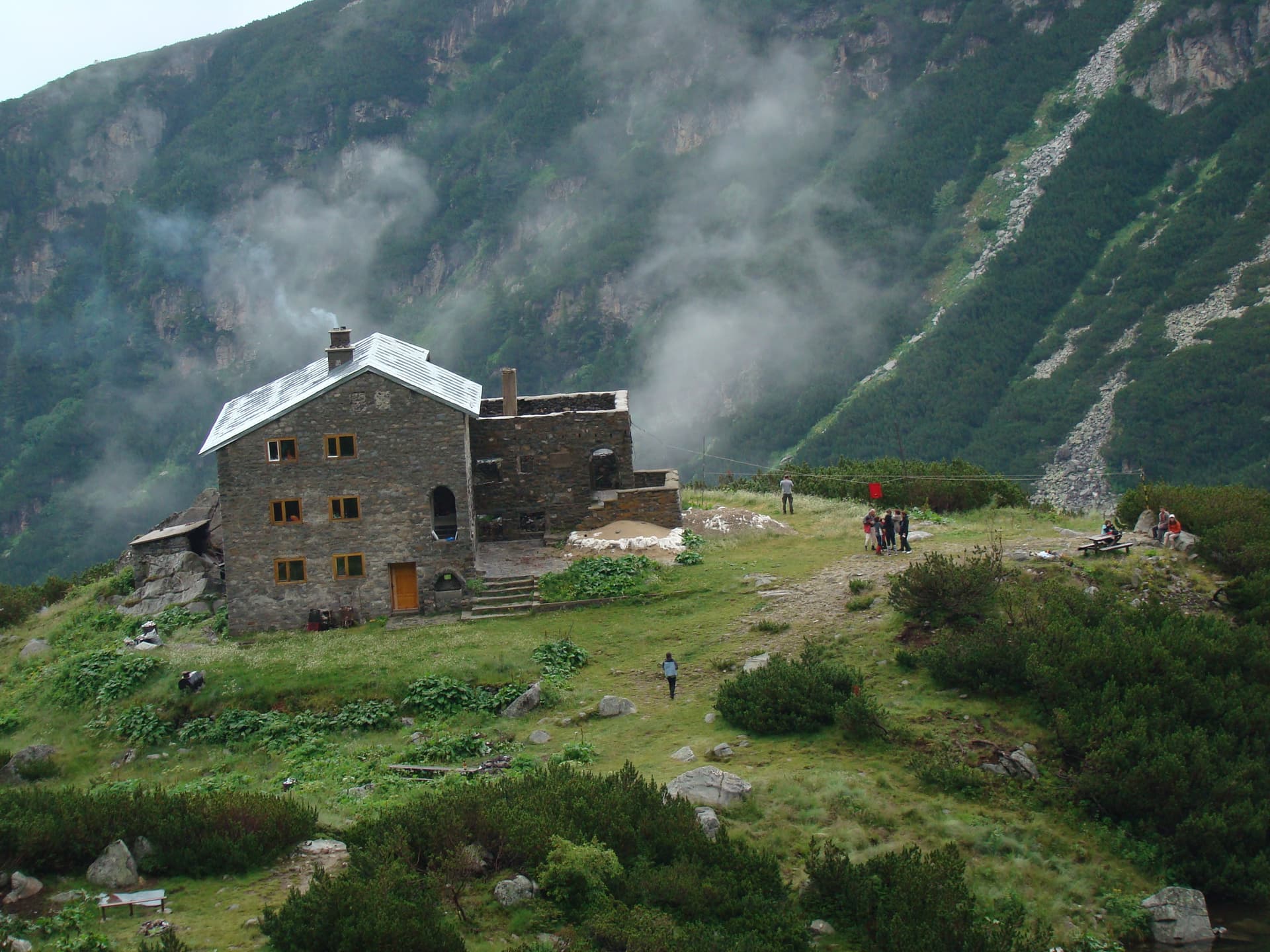
Belmeken hut stands at about 2,230 m on the shore of Ravnichalsko lake, north of Ravni Chal peak. It was built at the end of 1932 to a design by the architects Gencho Skordev and Elena Varakadzhieva and consecrated in September 1933. It is run by the Ravni Chal tourist society of Kostenets.
Reservoir – Belmeken peak (2:15 h) – the hut (40 min) – reservoir (1:40 h). From the hut, paths also lead to Ibar peak, Zavrachitsa hut and down to Kostenets.
Blagoevgrad region
1.3 km away
Sofia region
2.2 km away

Sofia region
2.3 km away
Blagoevgrad region
2.8 km away
Belmeken Reservoir – Belmeken Hut is located in Blagoevgrad, Bulgaria.
Belmeken Reservoir – Belmeken Hut is most easily reached by car. Use the coordinates above to navigate, or open the location in OpenStreetMap or your preferred maps app for turn-by-turn directions. Public transport options vary by region — for remote destinations a rental car gives the most flexibility.
Belmeken Reservoir – Belmeken Hut is best walked from May through October, when the trail is clear of snow and weather is generally stable. Summer middays can be hot at lower altitudes — start early. Winter walking requires proper gear and route knowledge.
Suitability depends on the specific route. Bulgarian trails range from paved family-friendly paths to multi-day high-mountain crossings. Check the length, elevation gain, and surface before setting off. Sturdy footwear, water, and a basic map (offline or paper) are essential even on short walks.