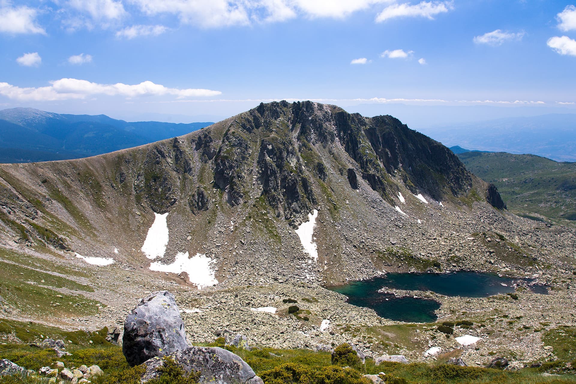
The route from Vihren Hut to Sinanitsa Hut is one of the most exciting and iconic adventures in Pirin, offering a combination of challenge and breathtaking views. This mountain trail, categorized as moderately difficult to difficult, is a must for any experienced hiker wishing to immerse themselves in the wild beauty of the mountain.
Starting from Vihren Hut (1950 m a.s.l.), located at the foot of Vihren Peak, you head west on a well-marked trail. The first part of the hike passes through the picturesque Banderitsa Circus, past Muratovo Lake, which mirrors the surrounding peaks. The terrain gradually gains altitude, becoming more open and rocky, revealing panoramic views of the majestic Todorka Peak and the vast ridges of Northern Pirin.
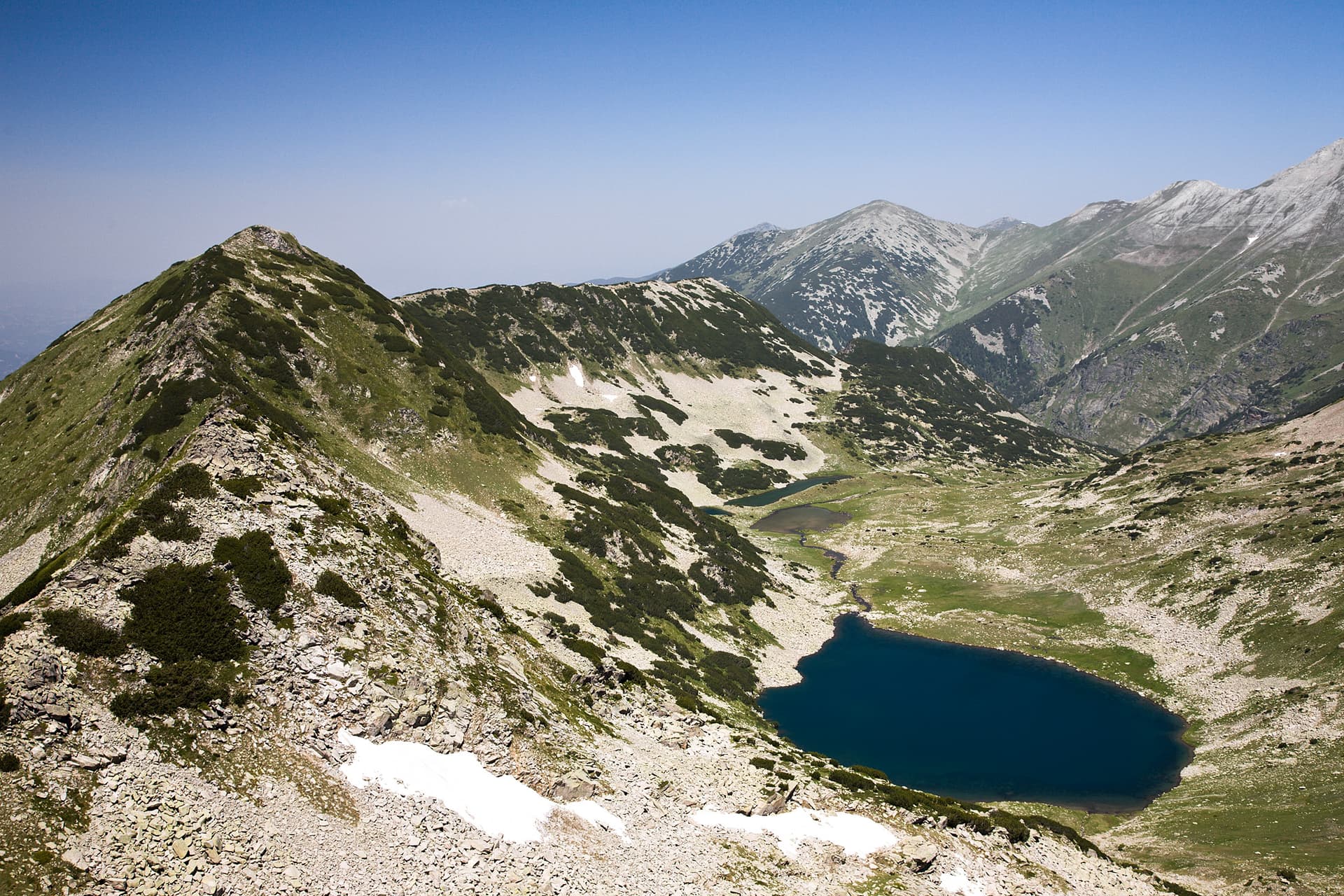
The path leads up to the saddle between Muratov Peak and Gergiitsa Peak, after which a relatively gentle descent begins towards the Demirkapiya pass. From here, the route continues northwest, entering the hard-to-reach but exceptionally scenic Sinanitsa Valley. You will pass by several crystal-clear mountain lakes, among which the most impressive is Sinanishko Lake, nestled beneath the marble slopes of the eponymous peak.
The trek is relatively long, lasting between 6 and 8 hours, and requires good physical preparation, sturdy equipment, and experience in mountain conditions. The reward is unparalleled – a sense of accomplishment and complete immersion in the pristine nature of Pirin. Sinanitsa Hut (2180 m a.s.l.) is situated in a secluded and picturesque location, offering a warm welcome and a well-deserved rest after this true mountain marathon. This route is more than a hike; it is a true odyssey that reveals the raw beauty and grandeur of Pirin.

Blagoevgrad region
0.7 km away
Blagoevgrad region
1.2 km away
Blagoevgrad region
1.3 km away
Vihren Hut – Sinanitsa Hut is located in Blagoevgrad, Bulgaria.
Vihren Hut – Sinanitsa Hut is most easily reached by car. Use the coordinates above to navigate, or open the location in OpenStreetMap or your preferred maps app for turn-by-turn directions. Public transport options vary by region — for remote destinations a rental car gives the most flexibility.
Vihren Hut – Sinanitsa Hut is best walked from May through October, when the trail is clear of snow and weather is generally stable. Summer middays can be hot at lower altitudes — start early. Winter walking requires proper gear and route knowledge.
Suitability depends on the specific route. Bulgarian trails range from paved family-friendly paths to multi-day high-mountain crossings. Check the length, elevation gain, and surface before setting off. Sturdy footwear, water, and a basic map (offline or paper) are essential even on short walks.