The Gluhite Kamani Rock-Cut Complex (The Deaf Stones) stands as one of the largest, most majestic, and deeply enigmatic megalithic monuments mapped across the territory of the Eastern Rhodopes. This ancient sacred site is located in Southern Bulgaria and safeguards material traces left by several successive civilizations, operating as a prime symbol of long-standing religious continuity. The sanctuary was actively utilized by the native Thracian tribes inhabiting the mountain ridge, but the presence of specific discovered features points to its initial origin during the Eneolithic Era (the Copper Age). The complex successfully merges a Thracian pagan cult center, a medieval Christian monastic cloister, and a fortified settlement, with the entire district officially declared a protected territory under the legal status of a natural landmark at the close of 1972. Chronology of Academic and Archaeological Research The rocky landmark of Gluhite Kamani was initially visited and documented for historical science by the founding fathers of Bulgarian archaeology - the brothers Karel and Herman Skorpil. At the close of the 1970s, the first organized field evaluations were conducted on-site by a scientific team led by the celebrated Bulgarian archaeologist Ivan Venedikov. The widespread academic prominence of the landmark, however, occurred only after 1975, when during a specialized research expedition the prominent scholar Professor Aleksandar Fol recorded the rock formation in detail, framing the hypothesis that the complex originated during the Early Iron Age, while operating continuously throughout Classical Antiquity and the Middle Ages. Genuine, regular, and systematic field archaeological excavations launched in 2008, coordinated under the direction of prominent archaeologists Georgi Nekhrizov and Doitchin Grozdanov. An exceptional technological breakthrough framing the evaluation of the region was executed in 2015. At that time, extensive field detection and mapping of the archaeological landscape around Gluhite Kamani was conducted utilizing airborne Lidar (LiDAR) scanning technology. This advanced methodology provided researchers with the unique capacity to virtually strip away the dense mountain forest canopy, exposing previously unknown artificial terraces, road segments, and building foundations hidden beneath the soil. Sanctuary Architecture and the Rock-Cut Niches In structural terms, Gluhite Kamani comprises a monumental complex featuring over 200 characteristic trapezoidal niches, precisely carved at high elevations into the vertical faces of a monolithic rock block. Practically all neighboring rock clusters within the wider district are densely marked with trapezoidal niches, while concurrently, archaeologists have registered the presence of specialized vaulted, regular circular, and rectangular rock-cut cavities. The surface of the stone massif displays zoomorphic and anthropomorphic rock profiles (cliffs shaped like animals and humans), sculpted by natural forces and refined by human hands. Standing out within the parameters of the complex are the following prominent structures: - Rock-Cut Tombs: Carved directly into the solid bedrock are two large Thracian tombs, which served as the eternal resting place for prominent local aristocrats or priests. - Rock-Cut Staircase and Cistern: Excavated into the southern face of the primary rock block are steep stone steps, guiding visitors directly toward a large water reservoir (cistern) carved deeply into the upper terrace of the rock massif. - Rock-Cut Cells: Carved into the baseline of the absolute westernmost rock cluster are two spacious cells. Their initial dating and exact functionality remain a topic of academic debate, but it has been fully proven that during the Middle Ages these chambers were adapted to serve as a baptistery (a designated space for executing Christian baptisms). Christian Heritage, Defensive Walls, and Excavated Artifacts Operating as a vibrant historical testament to the local population's profound devotion to this sacred landscape and to the clean spiritual continuity between separate religions, a Christian basilica was erected on a flat terrace at the absolute base of the rock during the 5th to 6th centuries AD. Historians suggest that the temple was deliberately engineered directly on top of an earlier pagan shrine to purify the site. The church functioned as an inseparable component of a developed medieval monastery complex, which according to written records was brutally destroyed, burned, and plundered by the transiting knight armies of the Third Crusade. The entire sanctuary operated as part of a larger fortified complex, organically linked to a vast Thracian and medieval settlement that expanded immediately south of the cliff face toward the basin of the Arda River. South of the rock crests, archaeologists exposed the foundations of separate ancient structures displaying a monumental, representative architectural profile, alongside well-preserved remnants of a robust stone curtain wall. A multitude of highly precious artifacts have been excavated on-site: - Cult Vessels: Clay and ceramic vessels that served for the ritual pouring of sacred liquids (libations) during Thracian pagan mysteries. - Marble Tablet: A unique, small marble tablet featuring a precisely rendered symbol carved in relief upon its surface. - Numismatic Discoveries: A rich collection of ancient and medieval coins. Standing out as an exceptional discovery for economic history is a precious coin minted in the ancient Hellenic city of Abdera, which positioned immediate to the mouth of the Mesta River on the Aegean Coast. This find explicitly proves the existence of developed trade networks and cultural exchanges linking the native Thracian tribes of the Rhodopes with the Aegean world.

Haskovo
6.5 km away
Haskovo
10.5 km away
Haskovo
12.3 km away
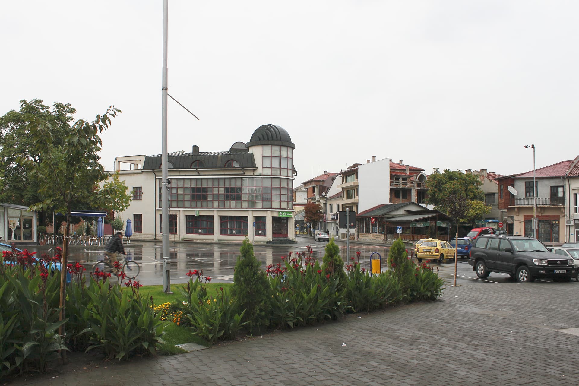
Haskovo
20.7 km away
The Gluhite Kamani Rock-Cut Complex (The Deaf Stones) is located in Haskovo, Bulgaria.
The Gluhite Kamani Rock-Cut Complex (The Deaf Stones) is most easily reached by car. Use the coordinates above to navigate, or open the location in OpenStreetMap or your preferred maps app for turn-by-turn directions. Public transport options vary by region — for remote destinations a rental car gives the most flexibility.
The Gluhite Kamani Rock-Cut Complex (The Deaf Stones) can be visited year-round. Spring and autumn offer the most pleasant conditions for exploring, with mild temperatures and fewer crowds. Summer is ideal for photography and longer day trips; winter visits are possible but weather can limit access at some sites.
Most natural landmarks in Bulgaria are freely accessible and open year-round, though some sites have entrance fees or require a guide. Wear sturdy footwear and bring water, as the terrain can be uneven. Respect any protective barriers and stay on marked paths to preserve the site.