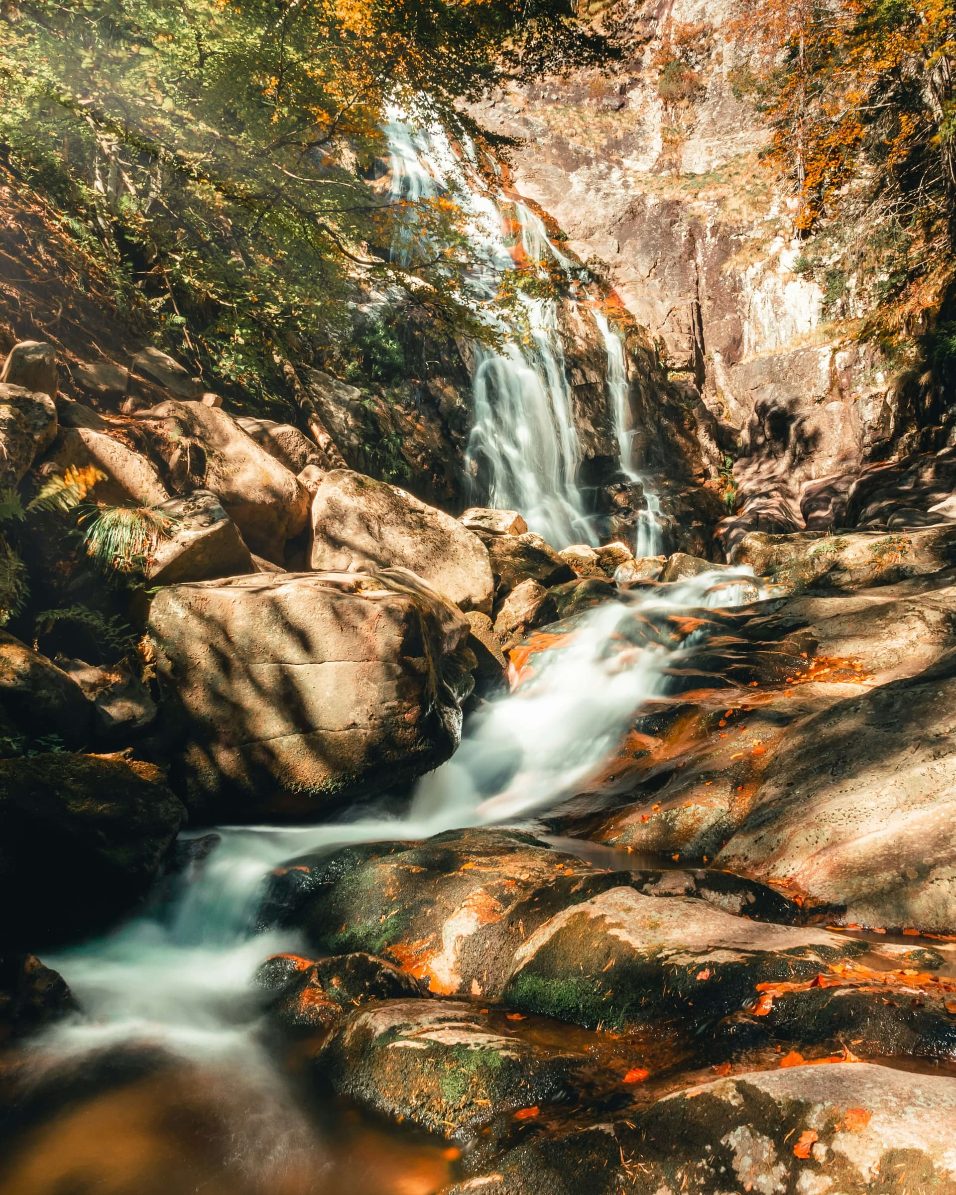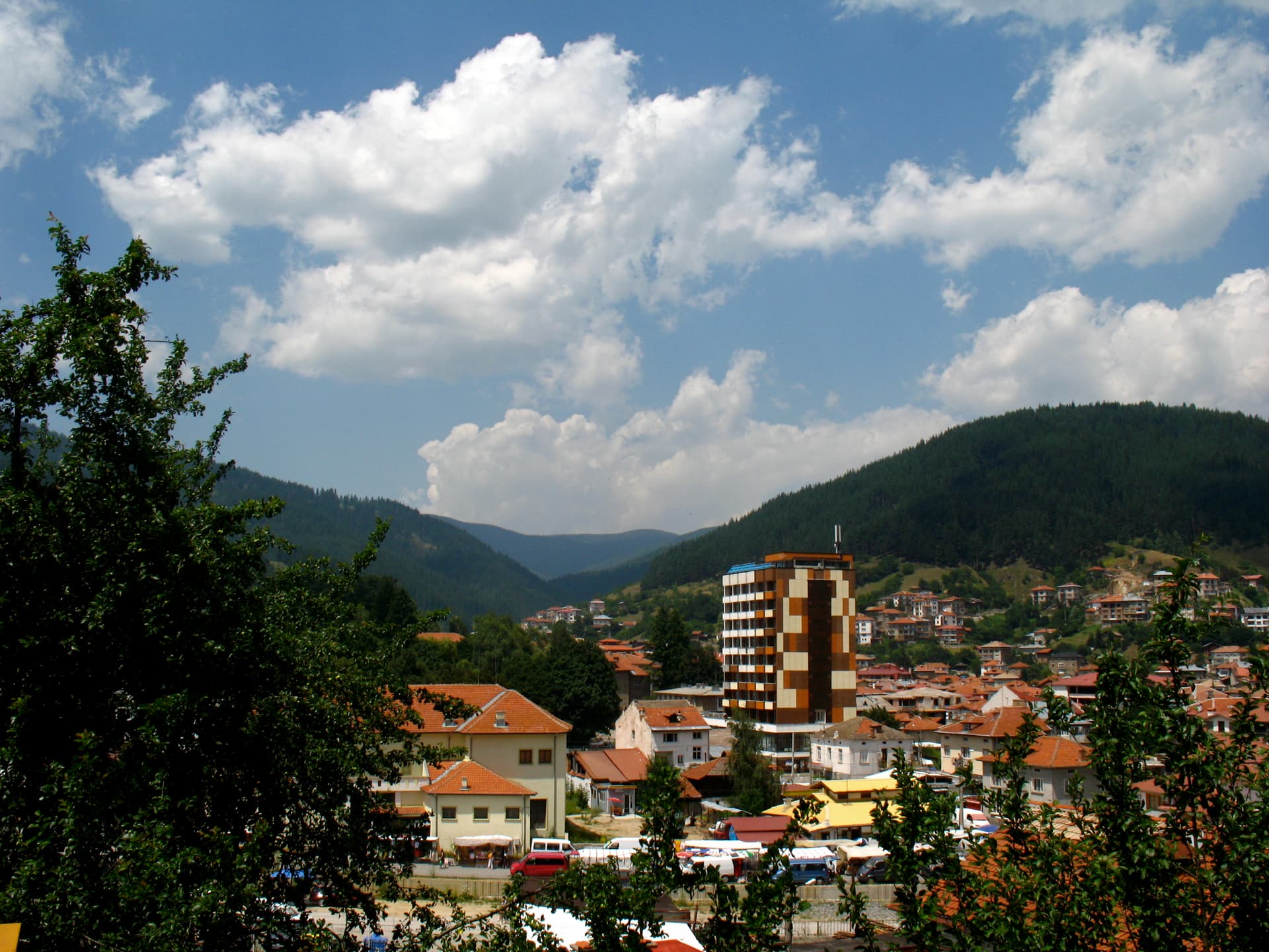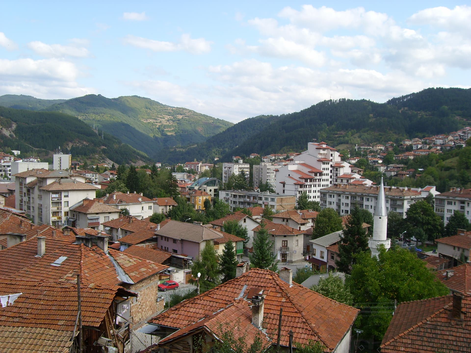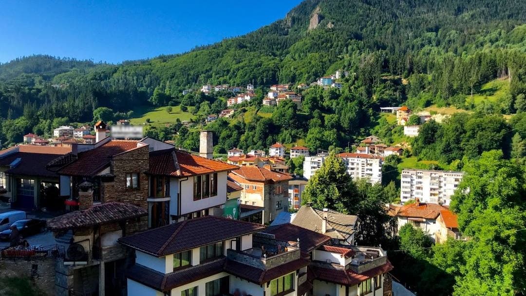
The city of Smolyan is the crown jewel of the Rhodope Mountains and the highest-altitude regional capital in Bulgaria, situated at an elevation of 1,035 meters above sea level. Nestled within the Perelik-Prespa ridge of the Western Rhodopes, the city lies just 10 km from the famous ski resorts of Pamporovo and Mechi Chal. Smolyan features an unusually long, linear layout stretching nearly 25 km, which naturally followed the winding valleys of the Cherna and Byala rivers. The modern city was officially established on June 18, 1960, through the administrative merger of three historically distinct settlements: the former administrative center of Smolyan (alongside the village of Ezerovo), the historic crafts hub of Raykovo, and the bustling merchant center of Ustovo.
The name of the city directly originates from the Smolyani — a Slavic tribe that settled in the region during the early Middle Ages. However, human habitation here dates back thousands of years; according to the ancient Greek historian Herodotus, Thracian tribes populated these valleys as early as 2500–3000 BC. The surrounding hills shelter rich archaeological treasures, including a Late Antiquity Christian complex from the 5th–7th centuries in the Mogilata area (featuring a basilica and ancient farmlands) and the ruins of Aetos Fortress ("Eagle"), where solid 2-meter-thick stone walls tell the tales of medieval defenders.
During the Ottoman era, the region underwent significant administrative and cultural transformations:
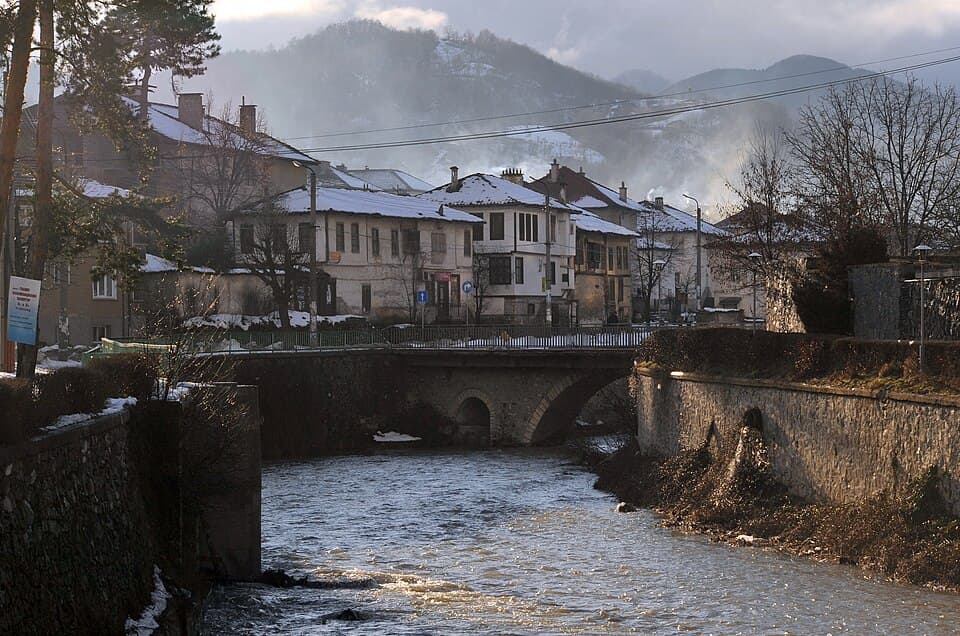
A Rhodope spa weekend: Devin's mineral water and the Struilitsa eco-trail, Zlatograd's ethnographic complex and Revival quarter, with Trigrad and Yagodina nearby.
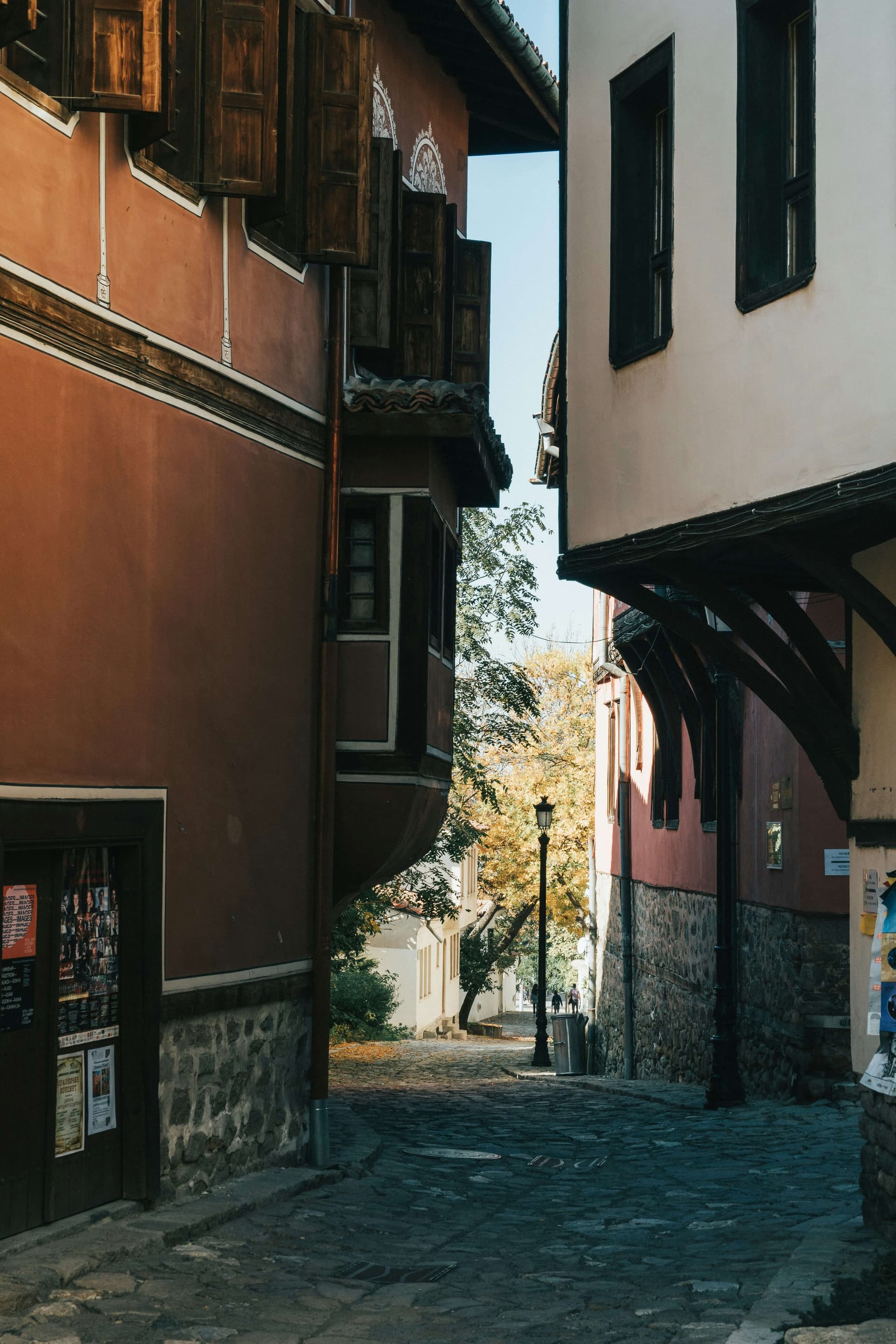
8 overnight getaways from Plovdiv: spa towns, Rhodope villages and caves, Troyan and skiing — with drive times, transport and what is open in winter.
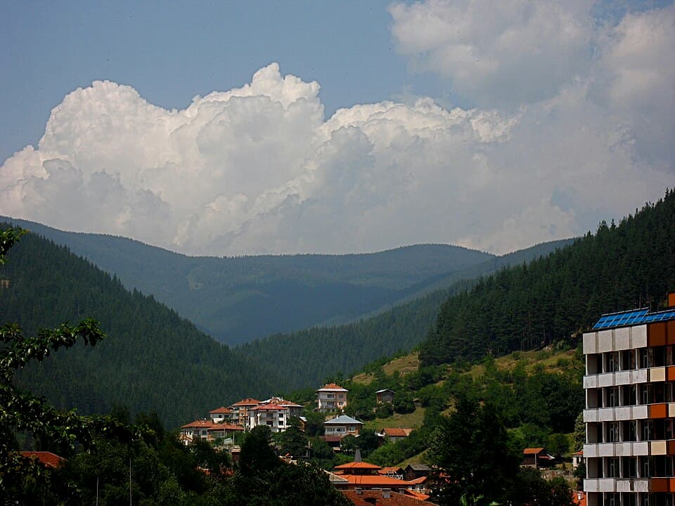
A practical guide to Chepelare: the Mechi Chal ski area, Snezhanka Peak, getting there from Plovdiv, parking, where to stay, and why it beats Pamporovo on price.
Smolyan is located in Smolyan, Bulgaria.
Smolyan is most easily reached by car. Use the coordinates above to navigate, or open the location in OpenStreetMap or your preferred maps app for turn-by-turn directions. Public transport options vary by region — for remote destinations a rental car gives the most flexibility.
Smolyan can be visited year-round, but late spring (May–June) and early autumn (September–October) offer the most pleasant weather and fewer tourists. Summer is the busiest season; winter is the quietest, with shorter daylight and possible cold weather.
Bulgarian settlements typically reward unhurried walking — historic centres, churches and monasteries, local markets, and family-run restaurants serving regional dishes. Larger towns often have museums and seasonal cultural events. The local tourist information centre is a good first stop for current opening hours and what's on.