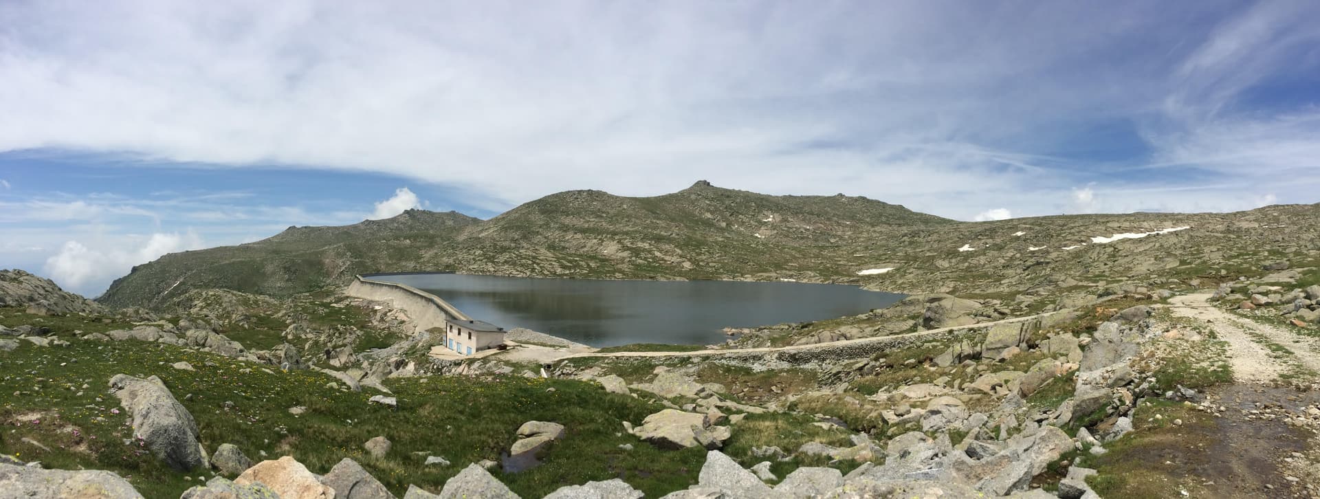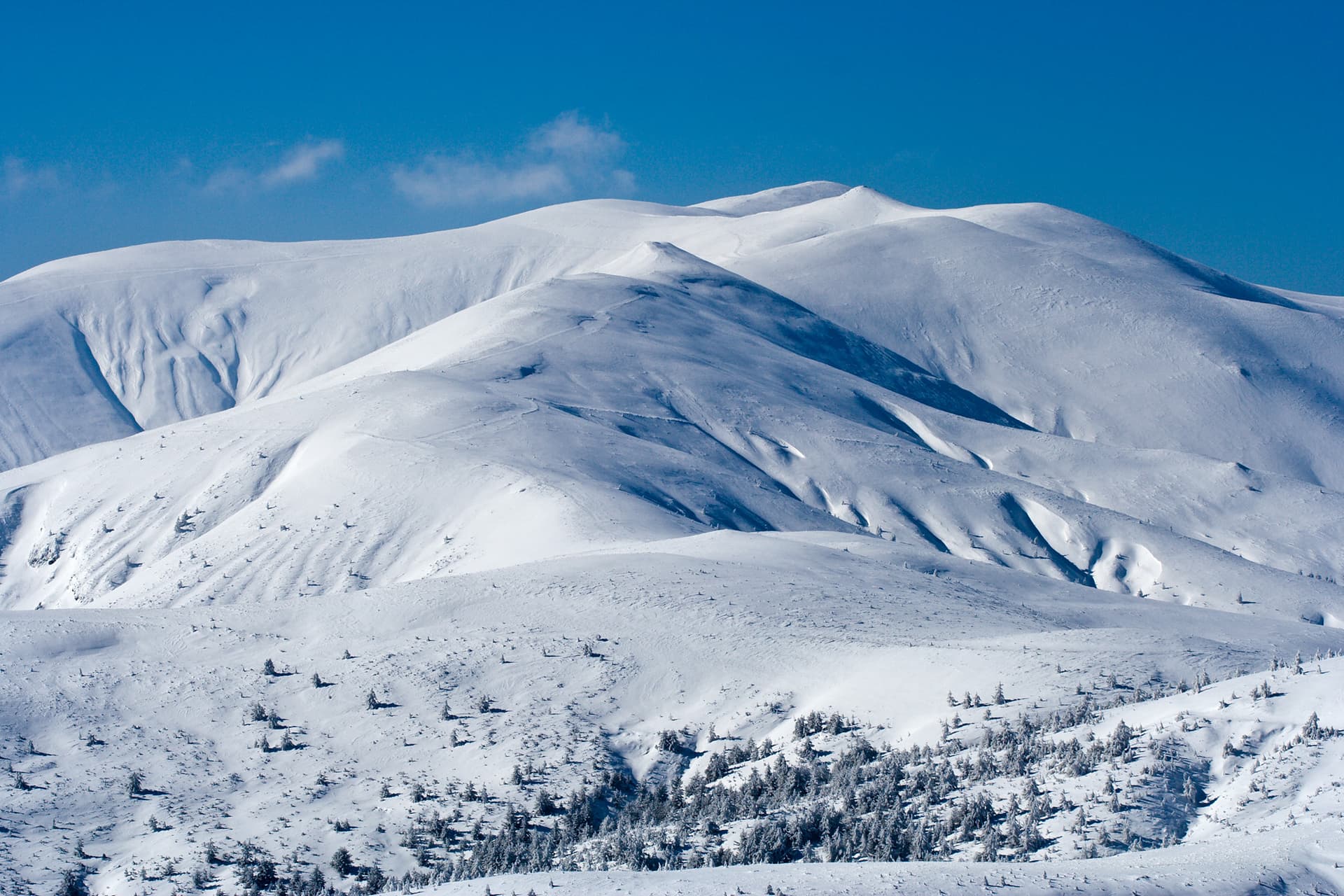
Mount Ruen is the highest peak of the Osogovo Mountain range, soaring to an altitude of 2,253 meters above sea level. It features a unique geographic location, situated directly on the international border between Bulgaria (Kyustendil District) and the Republic of North Macedonia (Kriva Palanka Municipality). The Osogovo giant is characterized by smooth, rounded grassy ridges and rolling alpine meadows, making trekking in the region highly accessible and physically rewarding. Because the summit stands within the restricted border zone, visitors are strictly required to obtain prior permission or notify the Bulgarian Main Directorate of Border Police before ascending.
Ruen holds a prominent status within the Bulgarian outdoor community — it is a featured highlight in both the "100 National Tourist Sites" and the "Conqueror of the 10 Mountain Peaks" national challenges. The official institutional stamps for both booklets can be collected at two easily accessible locations: Osogovo Hut and the neighboring Three Beech Trees (Trite Buki) complex. Travel from the city of Kyustendil to the main trailheads is made convenient by the reinstated Kyustendil – Trite Buki regional bus line, which operates scheduled trips every Saturday.
The primary gateways for scaling the summit are Osogovo Hut, the Trite Buki area, and the border village of Gyueshevo. The trails starting from the chalet and the resort area share almost the exact same route:
This is the standard and most popular summer approach, following reliable red trail markers. The trek spans approximately 12.5 km in one direction along a very predictable and gentle incline, moving almost entirely above the tree line on a wide dirt carriage road. A major benefit of this route is that it features three functional freshwater springs along the way, keeping hikers well-supplied with water.
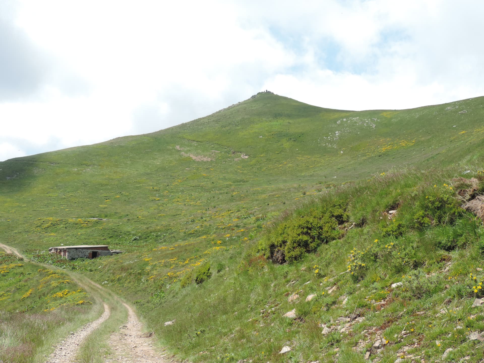
1. Summer Variant: Hikers continue along the main dirt road. Shortly after passing the ruined Shafka Shelter (nestled below Shafka Peak), the path cuts right across an expansive mountain pasture before merging back onto the main ridge road that leads directly to the Ruen summit marker.
2. Winter Variant: For maximum safety in snow conditions, the trail marked by steel poles follows the high ridge line strictly, conquering the intermediate summits of Tsarni Kamak, Shapka, and Mali Ruen before arriving at the highest point.

Kyustendil region
1.1 km away
Kyustendil region
2.0 km away
Kyustendil region
3.8 km away
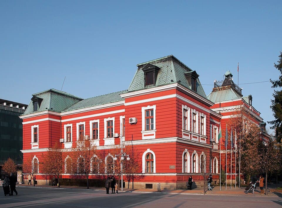
A weekend in Kyustendil: soaking in the Chifte Banya bathhouse, the Vladimir Dimitrov – Maystora gallery, Roman Pautalia, Hisarlaka fortress, Osogovo and what's nearby — getting there from Sofia.
The highest peak of every major Bulgarian mountain — Musala, Vihren, Botev and more, with elevations, difficulty, base towns and how to climb each.
Ruen is located in Kyustendil, Bulgaria.
Ruen is most easily reached by car. Use the coordinates above to navigate, or open the location in OpenStreetMap or your preferred maps app for turn-by-turn directions. Public transport options vary by region — for remote destinations a rental car gives the most flexibility.
Late spring through early autumn (May–September) is best for Ruen, when trails are clear of snow and weather is most stable. Higher peaks may hold snow into June and see fresh snow as early as October. Winter visits are for experienced mountaineers with proper gear.
Ruen reaches an elevation of 2,251 metres above sea level.
Hiking boots, layered clothing, water (1.5–2 L per person), sun protection, and a windproof jacket — mountain weather changes quickly. For longer routes also bring a map (paper or offline), a head torch, and emergency rations. Tell someone your planned route and expected return time.