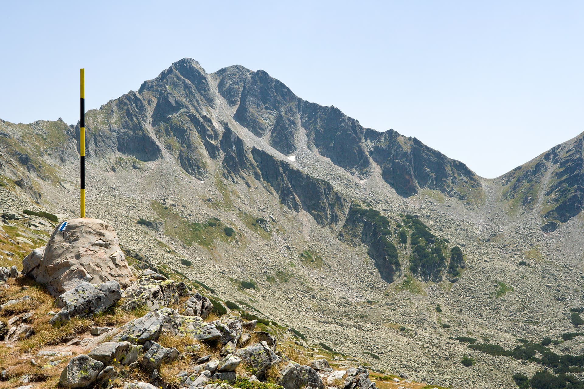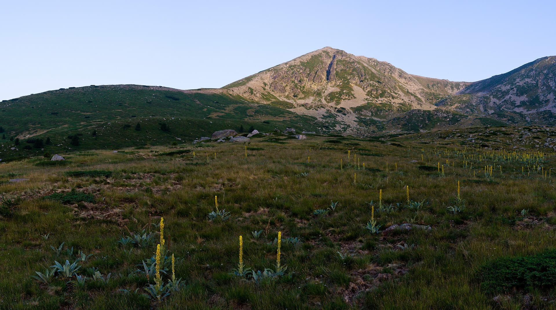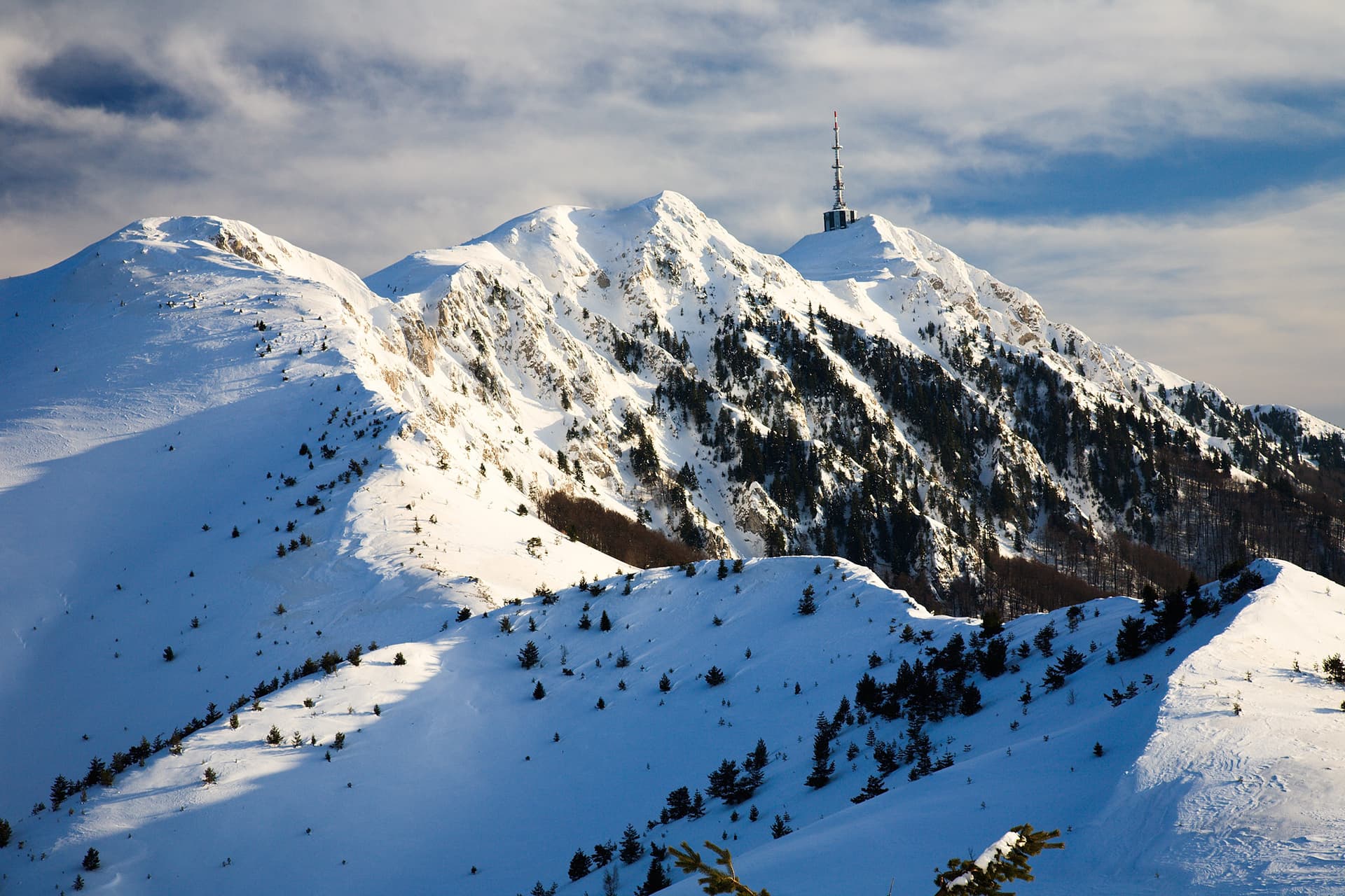
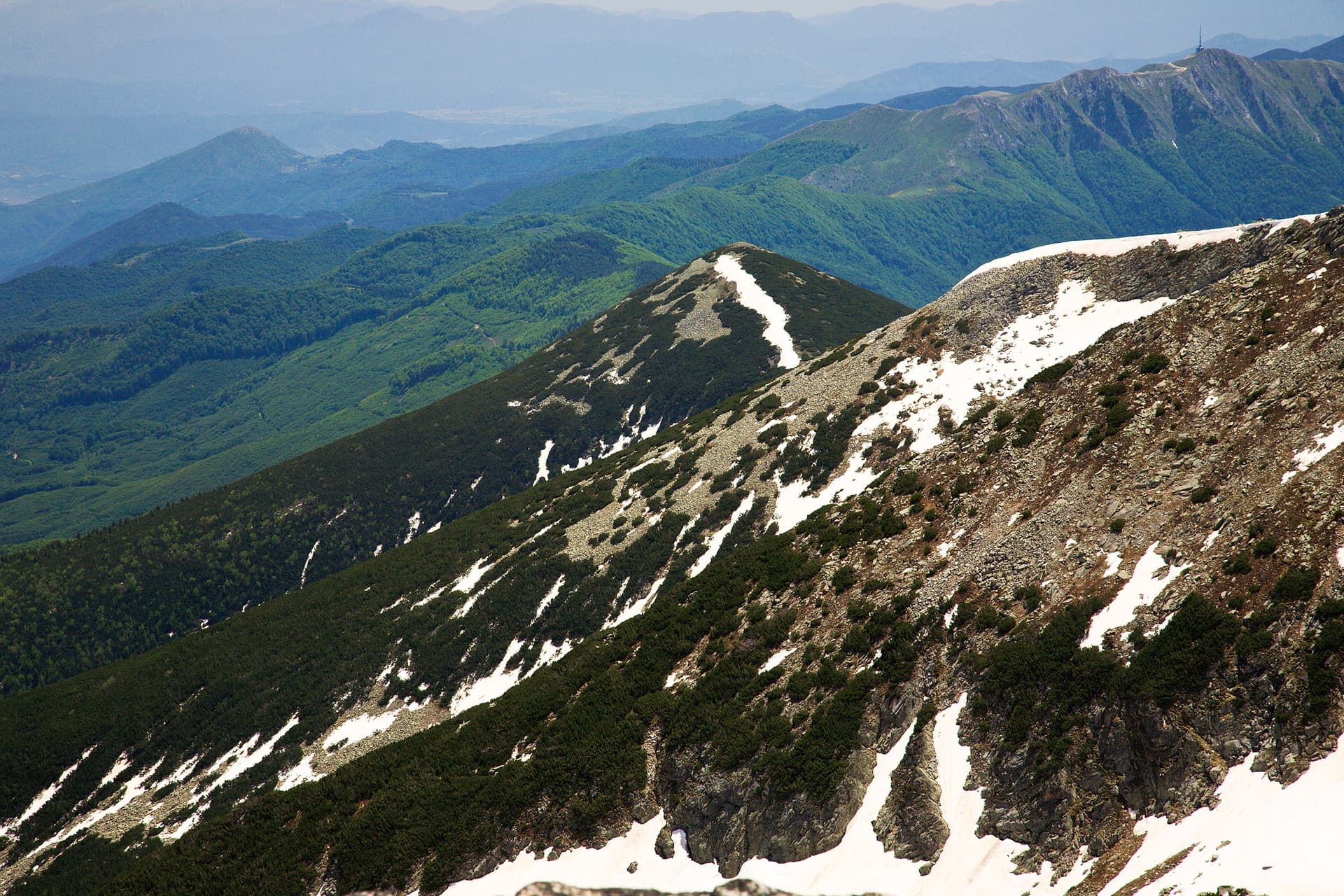
Orelyak (2,099 m), also known as the Eagle Rocks, is the highest peak in the Central Pirin range. Crowned by a massive 96-meter radio and TV relay station, the peak is a dominant landmark visible from afar. The northern slopes of the peak are part of the Orelyak Reserve, protected for its ancient beech forests and unique karst biodiversity. Landscape & Features - Geology: The peak is formed from karstified marble, creating a rugged, treeless summit with steep western cliffs plunging toward the Pirinska Bistritsa river valley. - Views: The summit offers a spectacular 360-degree panorama, bridging the high alpine peaks of Northern Pirin with the green ridges of Slavyanka Mountain to the south. Access and Hiking - Starting Point: Popovi Livadi Hut. - Hiking Trail: A well-marked trail reaches the top in approximately 2 hours. - Road Access: A 10 km gravel road leads directly to the summit station, popular for mountain biking and off-road excursions.

Blagoevgrad
3.0 km away

Blagoevgrad
7.1 km away
Blagoevgrad
9.6 km away
Blagoevgrad
9.7 km away
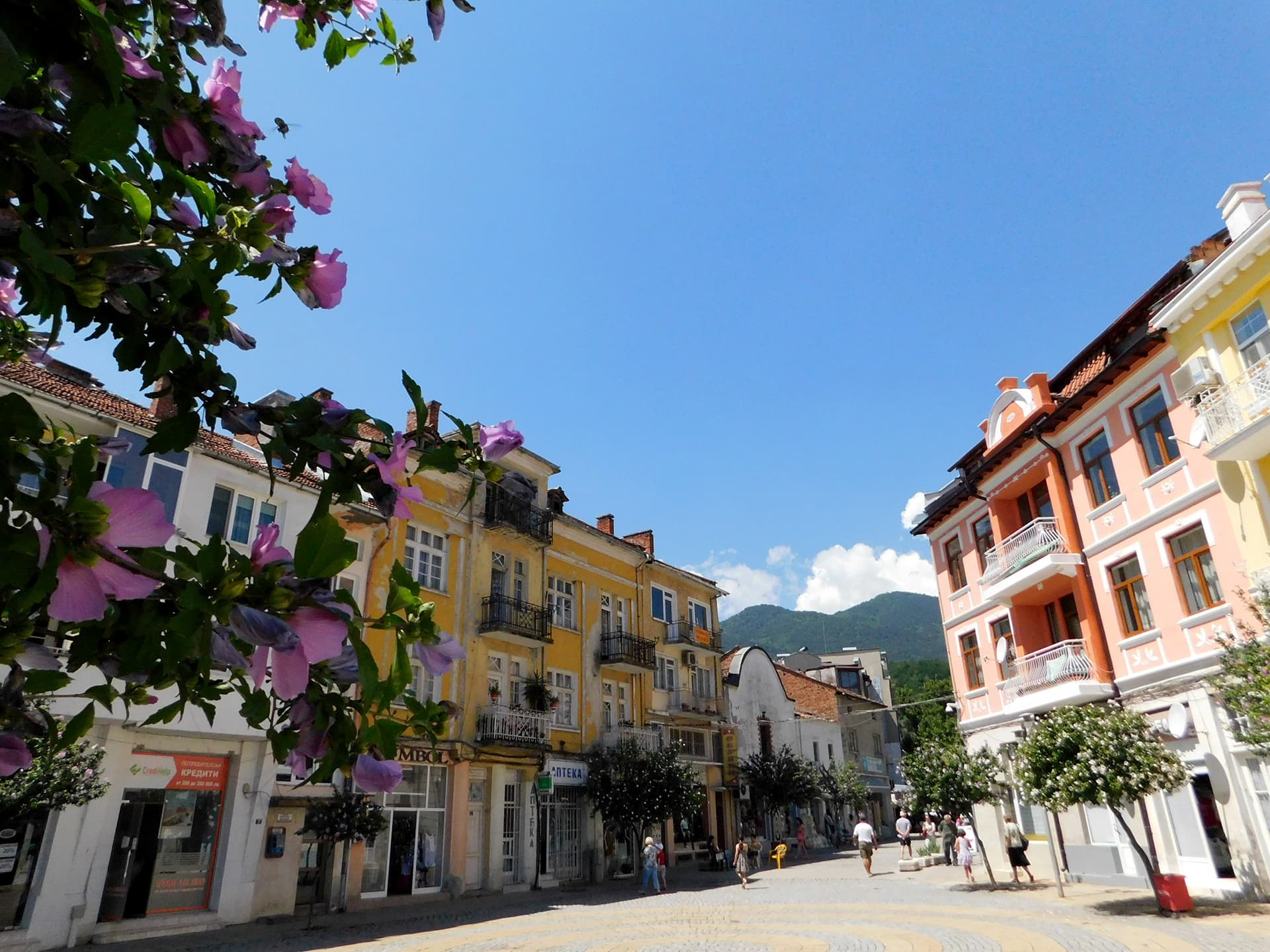
Orelyak is located in Blagoevgrad, Bulgaria.
Orelyak is most easily reached by car. Use the coordinates above to navigate, or open the location in OpenStreetMap or your preferred maps app for turn-by-turn directions. Public transport options vary by region — for remote destinations a rental car gives the most flexibility.
Late spring through early autumn (May–September) is best for Orelyak, when trails are clear of snow and weather is most stable. Higher peaks may hold snow into June and see fresh snow as early as October. Winter visits are for experienced mountaineers with proper gear.
Orelyak reaches an elevation of 2,099 metres above sea level.
Hiking boots, layered clothing, water (1.5–2 L per person), sun protection, and a windproof jacket — mountain weather changes quickly. For longer routes also bring a map (paper or offline), a head torch, and emergency rations. Tell someone your planned route and expected return time.