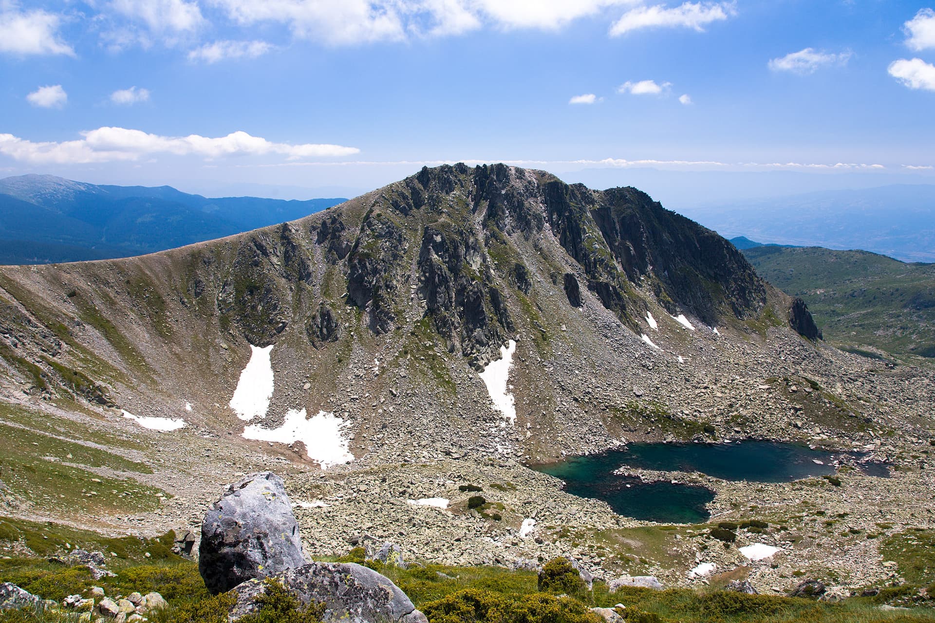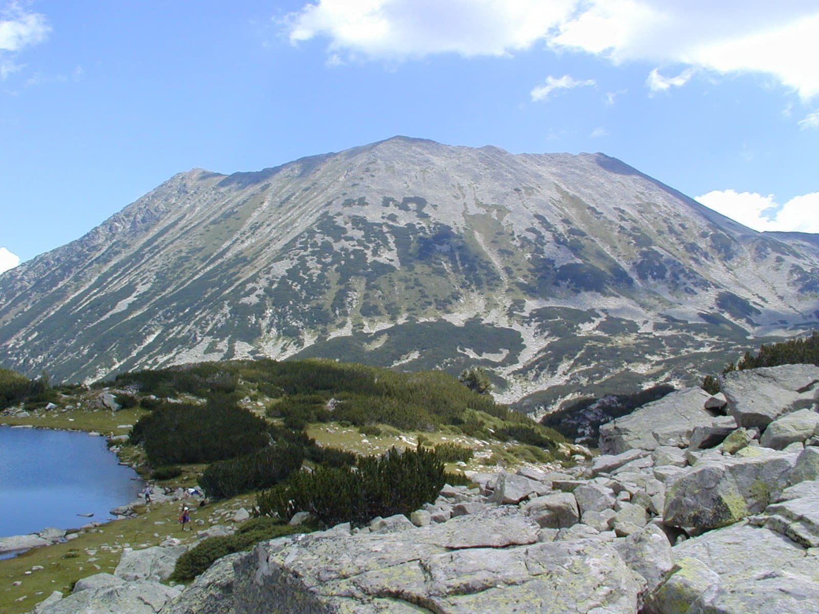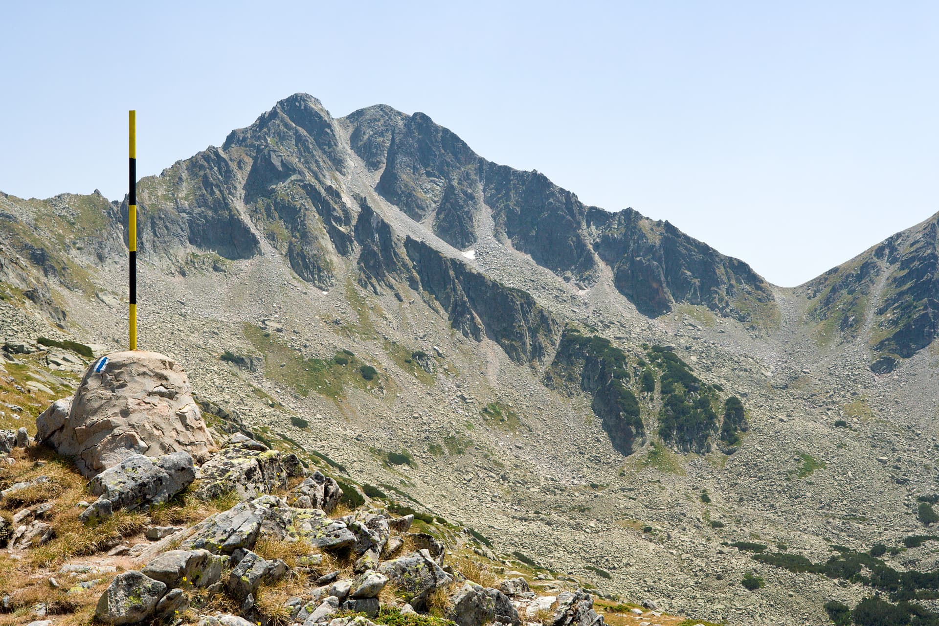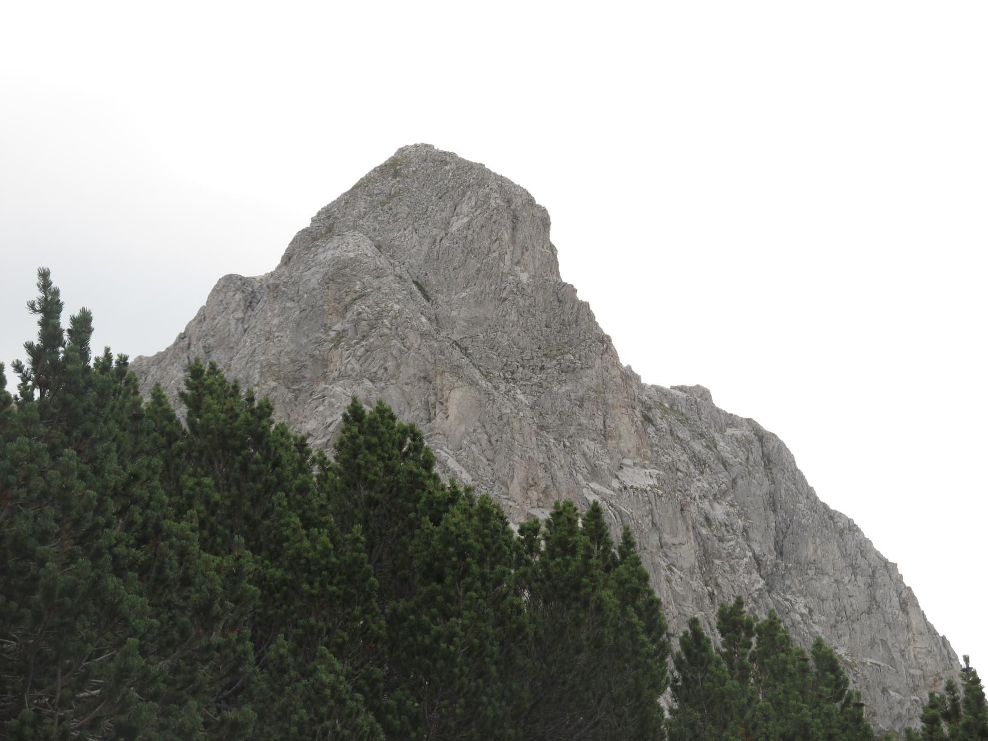
Momin peak (2,482 m) is in the western part of Northern Pirin, on the Sinanitsa side ridge: east of Sinanitsa, from which a rocky cleft separates it, and southwest of Georgiytsa. Newer literature lists it as a separate peak, but it is really part of the Sinanitsa massif.
Its northwestern side is a vertical 200 m wall climbed by alpinists. The peak is built of marble and schist and is treeless, with patches of juniper and dwarf pine lower down. According to Atanas Valchev, climbers named it in 1950 during a summer alpine course, and the legends attached to it came later.
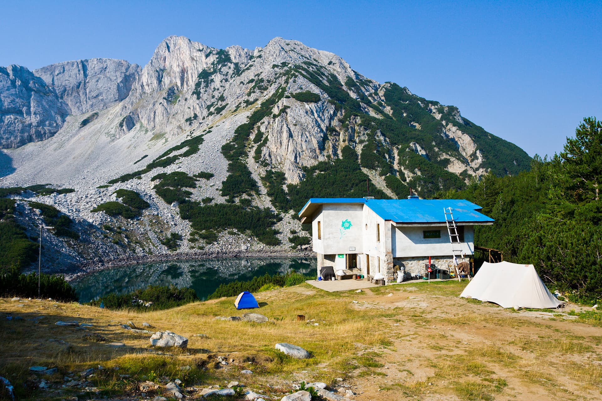
The most convenient starting point is hut Sinanitsa.
Blagoevgrad region
0.9 km away

Blagoevgrad region
1.4 km away
Momin peak is located in Blagoevgrad, Bulgaria.
Momin peak is most easily reached by car. Use the coordinates above to navigate, or open the location in OpenStreetMap or your preferred maps app for turn-by-turn directions. Public transport options vary by region — for remote destinations a rental car gives the most flexibility.
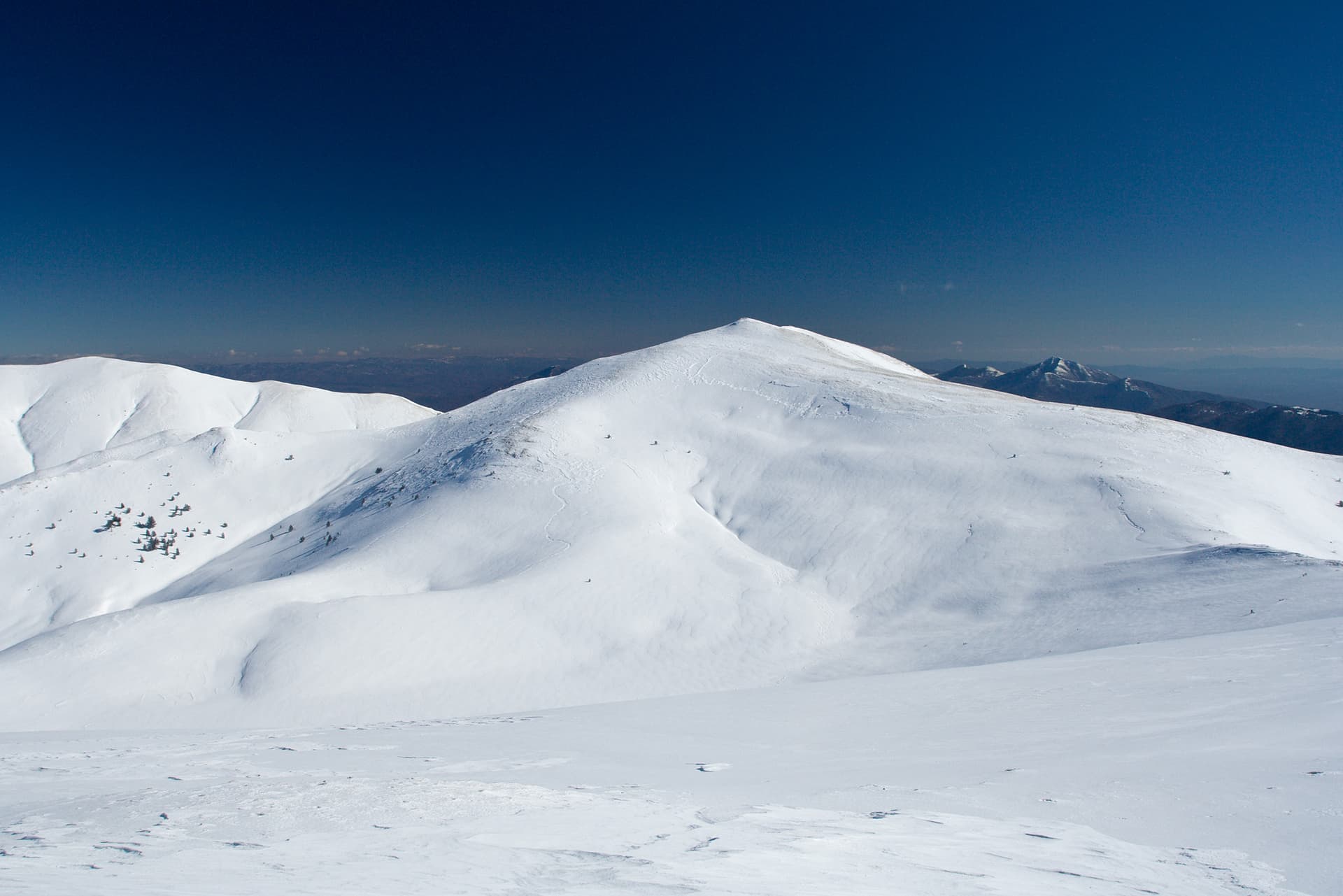
Late spring through early autumn (May–September) is best for Momin peak, when trails are clear of snow and weather is most stable. Higher peaks may hold snow into June and see fresh snow as early as October. Winter visits are for experienced mountaineers with proper gear.
Momin peak reaches an elevation of 2,482 metres above sea level.
Hiking boots, layered clothing, water (1.5–2 L per person), sun protection, and a windproof jacket — mountain weather changes quickly. For longer routes also bring a map (paper or offline), a head torch, and emergency rations. Tell someone your planned route and expected return time.