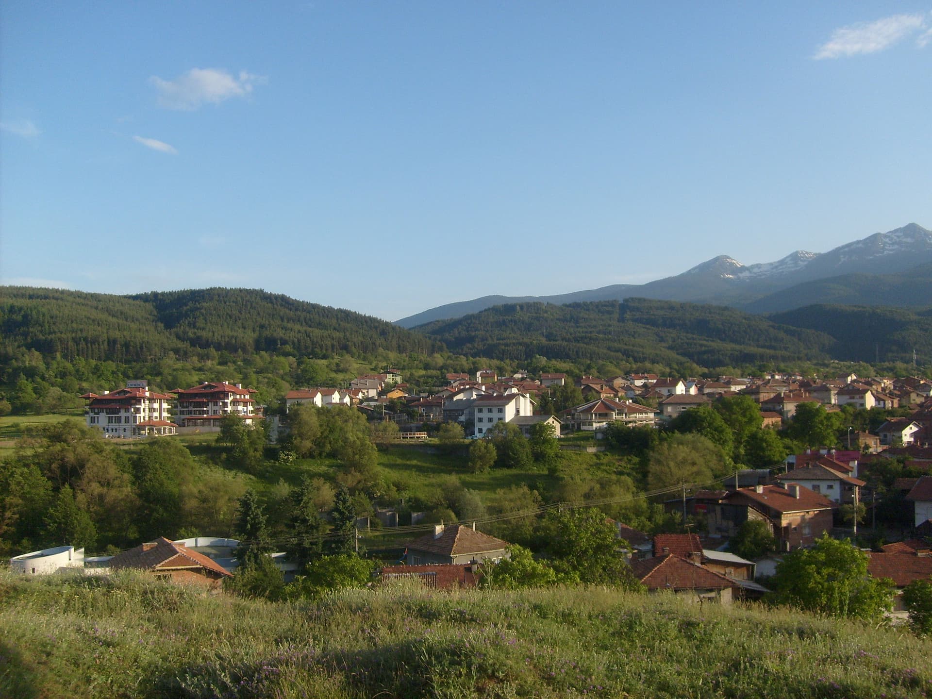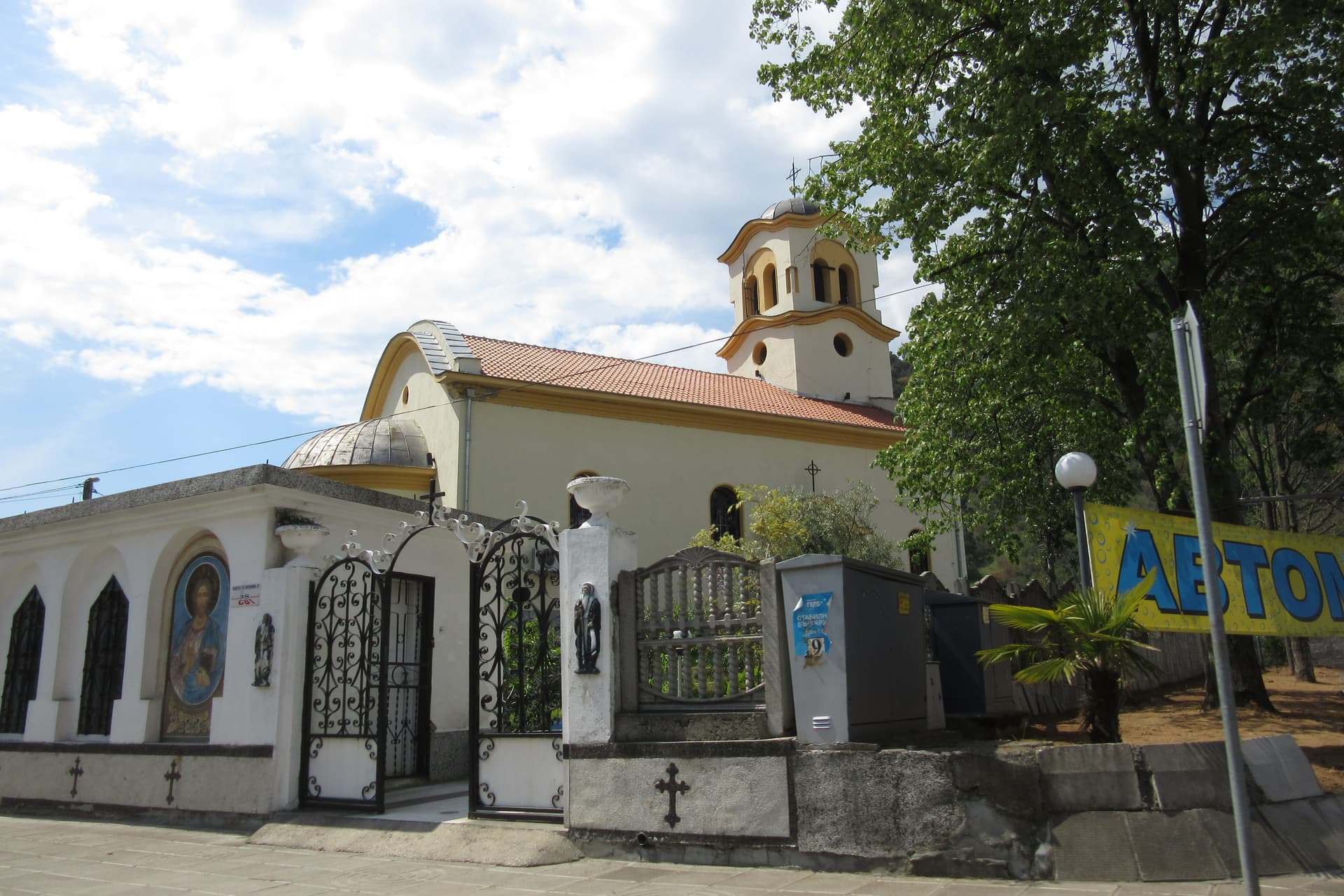
Kresna is a small town in Blagoevgrad Province, in the Struma valley at the Kresna Gorge. It has about 2,800 inhabitants (NSI estimate for 2025) and is the seat of Kresna municipality. The town lies on both sides of the E79 international road, between the western spurs of Pirin and the Maleshevska mountain.
From Kresna you reach the Sinanitsa area, where a path leads to Sinanitsa hut and the lake of the same name below Sinanitsa peak. In the foothills of Maleshevska, about 7 km from town above the village of Breznitsa, stands the Monastery of the Prophet Elijah. Near the village of Vlahi are the mineral springs of Gradeshka Banya and the Church of the Nativity of the Virgin from 1750 — the oldest in the municipality.
The settlement grew up after 1926 around the railway station and was called Gara Pirin ("Pirin Station"). In 1978 it became a town and was renamed Kresna, while the old village of Kresna became Stara Kresna. Near the village of Dolna Gradeshnitsa lie the remains of the ancient town of Neine.
By car from Sofia it is about 140 km, roughly 1 h 45 min. Blagoevgrad is about 40 km away. The Sofia–Kulata railway runs through town.
Sandanski and Melnik to the south, Simitli to the north, and the Pirin paths to Sinanitsa hut.
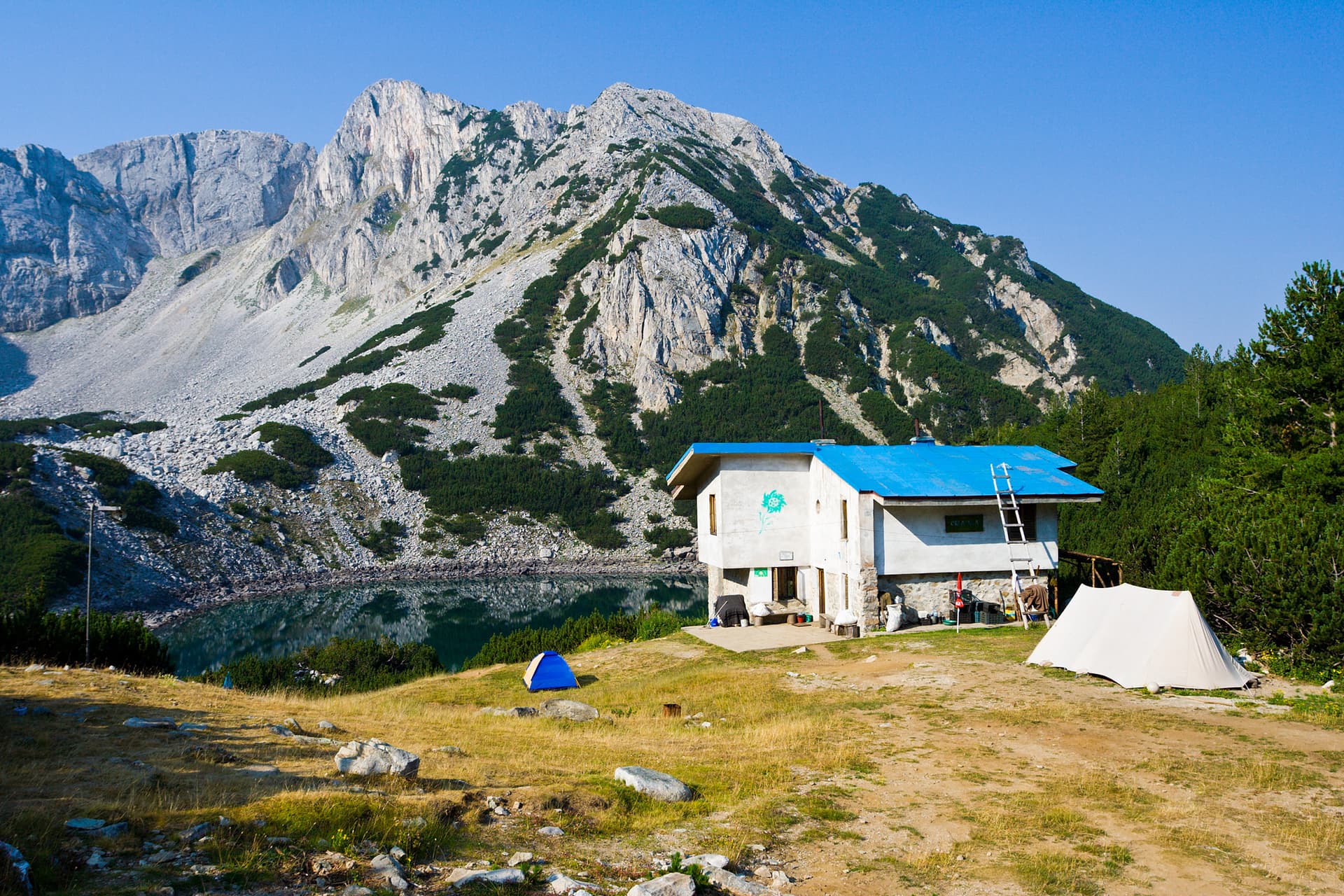
Blagoevgrad region
16.2 km away
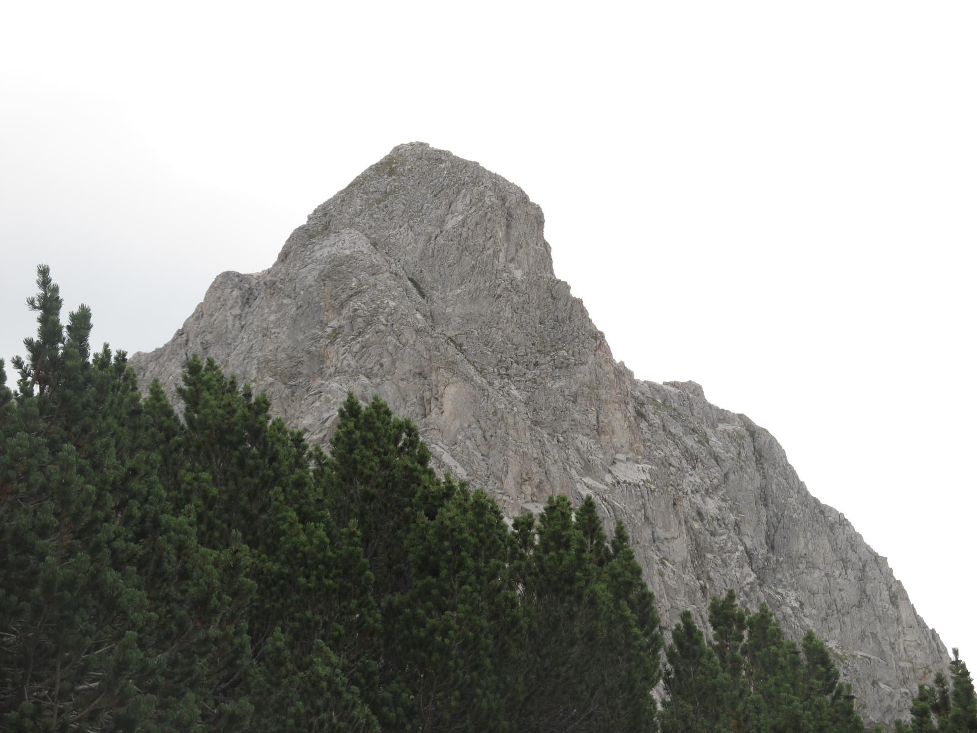
Blagoevgrad region
17.1 km away
Kresna is located in Blagoevgrad, Bulgaria.
Kresna is most easily reached by car. Use the coordinates above to navigate, or open the location in OpenStreetMap or your preferred maps app for turn-by-turn directions. Public transport options vary by region — for remote destinations a rental car gives the most flexibility.
Kresna can be visited year-round, but late spring (May–June) and early autumn (September–October) offer the most pleasant weather and fewer tourists. Summer is the busiest season; winter is the quietest, with shorter daylight and possible cold weather.
Bulgarian settlements typically reward unhurried walking — historic centres, churches and monasteries, local markets, and family-run restaurants serving regional dishes. Larger towns often have museums and seasonal cultural events. The local tourist information centre is a good first stop for current opening hours and what's on.