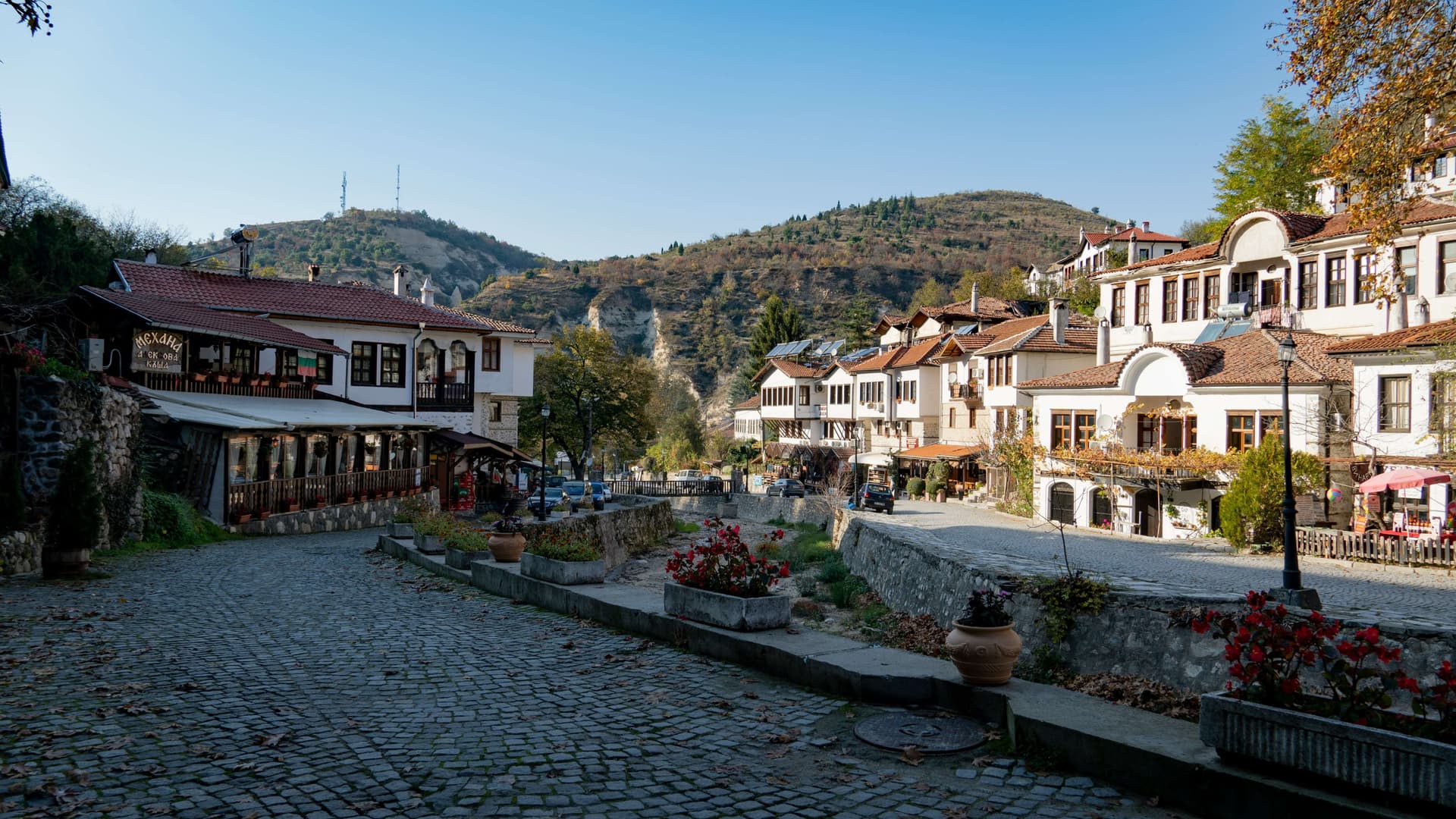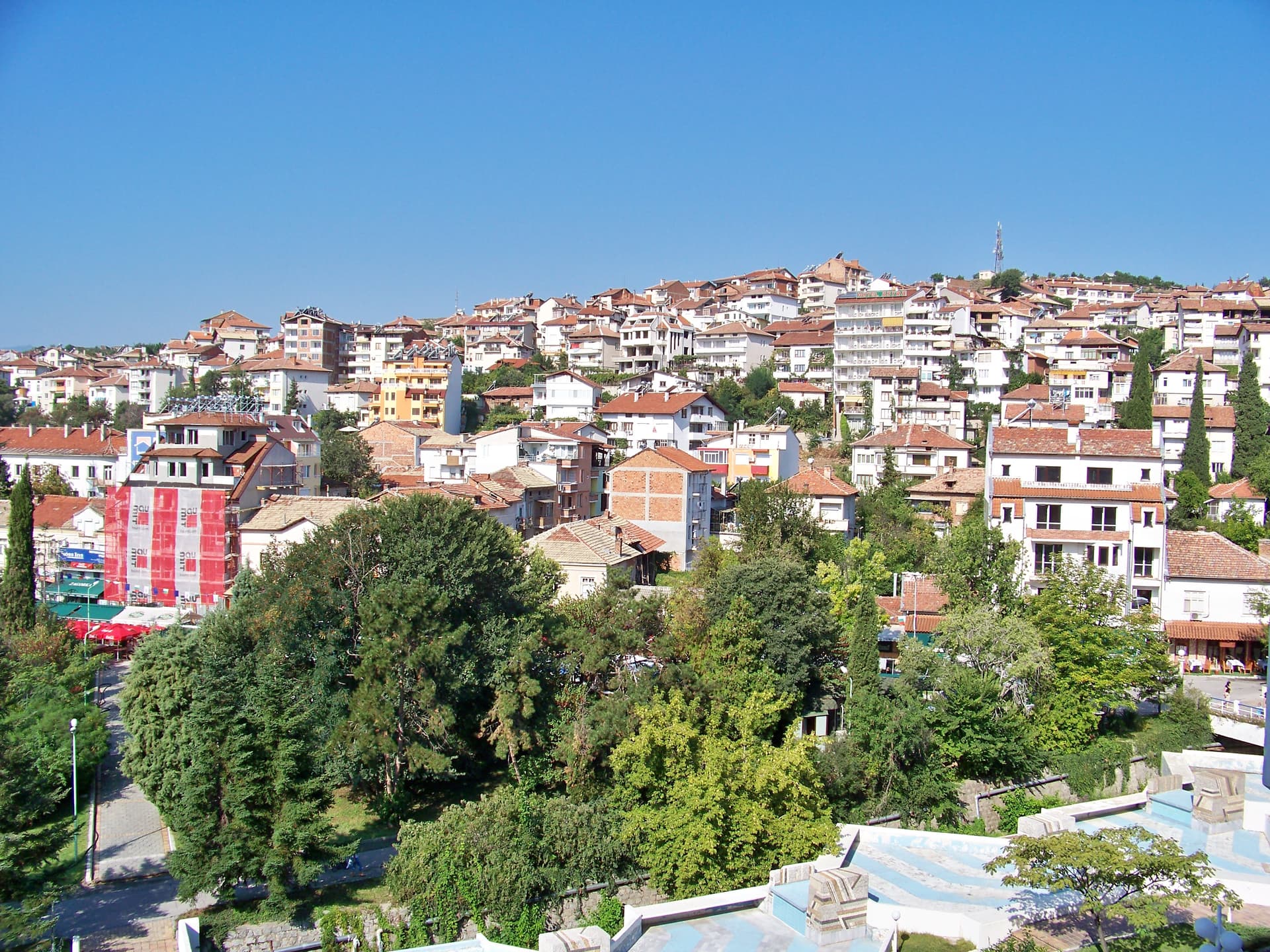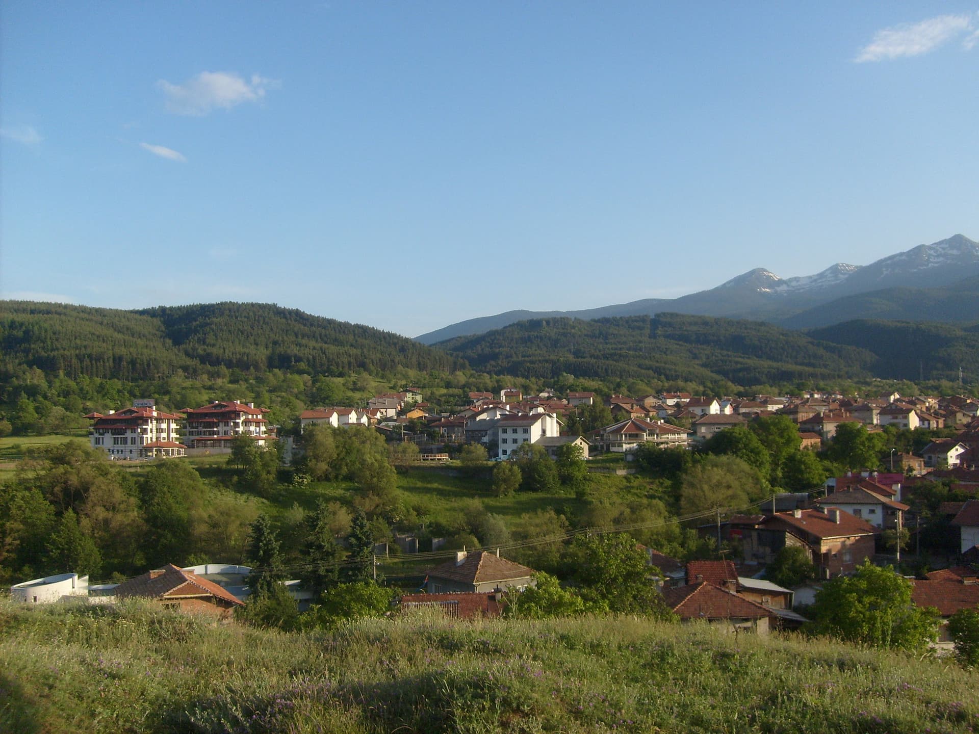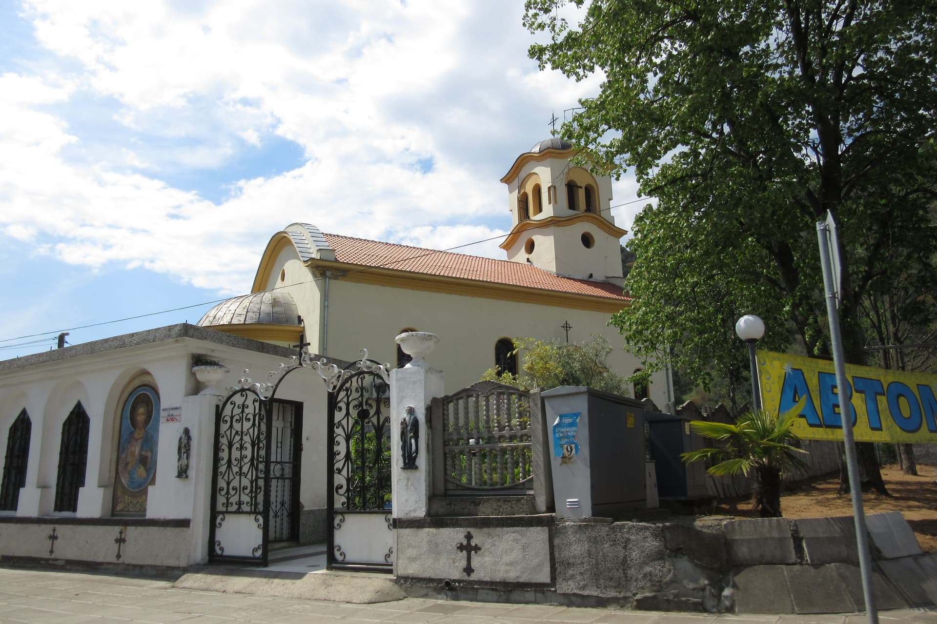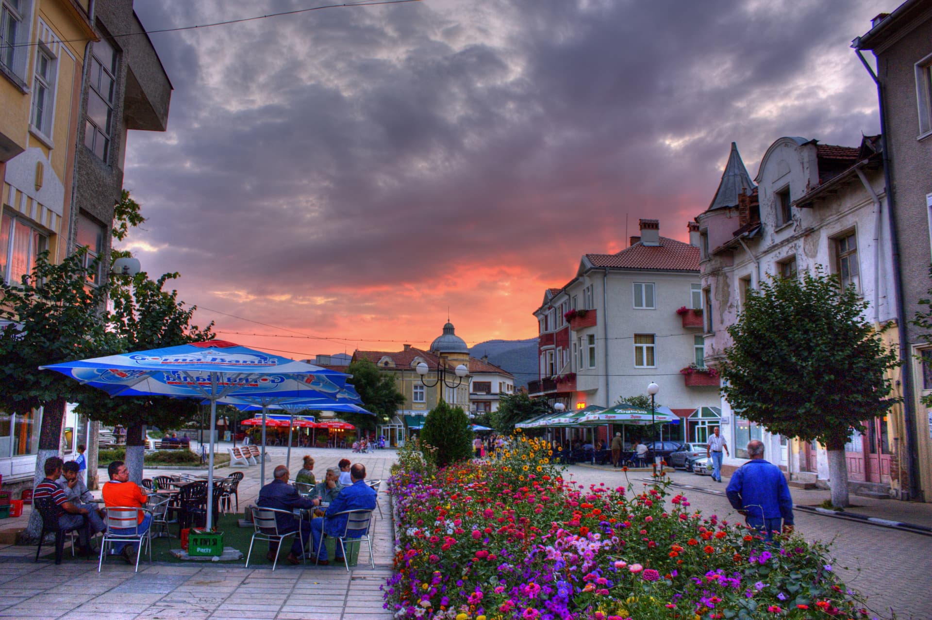
Yakoruda is a small town in Blagoevgrad province with 4,587 inhabitants (NSI, end of 2025), the centre of its municipality. It lies at 888 m on the upper Mesta, between Rila to the north and west and the Rhodopes to the south and east, east of Razlog.
Yakoruda is a station on the Septemvri – Dobrinishte narrow-gauge railway, between Avramovo and Belitsa. Buses from Plovdiv to Bansko run via Velingrad, Yakoruda and Belitsa. By car it is on the Razlog – Velingrad road.
In Roman times a road from Philippopolis to the Via Egnatia passed here; the Kaleto and Gradishte forts date from then. Under Ottoman rule the village was a waqf of the grand vizier Kara Mustafa, and by the mid-17th century it was the largest settlement in the Razlog area. Yakoruda was liberated on 7 October 1912, during the Balkan War.

Blagoevgrad region
7.1 km away
Pazardzhik region
9.0 km away
Blagoevgrad region
10.5 km away
Yakoruda is located in Blagoevgrad, Bulgaria.
Yakoruda is most easily reached by car. Use the coordinates above to navigate, or open the location in OpenStreetMap or your preferred maps app for turn-by-turn directions. Public transport options vary by region — for remote destinations a rental car gives the most flexibility.
Yakoruda can be visited year-round, but late spring (May–June) and early autumn (September–October) offer the most pleasant weather and fewer tourists. Summer is the busiest season; winter is the quietest, with shorter daylight and possible cold weather.
Bulgarian settlements typically reward unhurried walking — historic centres, churches and monasteries, local markets, and family-run restaurants serving regional dishes. Larger towns often have museums and seasonal cultural events. The local tourist information centre is a good first stop for current opening hours and what's on.