Veliytsa (1,712 m), shown on some maps as Veliitsa, is the highest peak of the Veliysko-Videnishki part of the Western Rhodopes, about 9 km east-south-east of Yakoruda; sources give between 1,711 and 1,715 m.
The peak rises in the north-western part of the main ridge of the range that takes part of its name from it. It is an important knot of ridges and rivers, about 35 km from Velingrad and 10 km from the village of Avramovo. Its slopes carry spruce and Scots pine and drain into the Konarska and Palatik rivers.
Veliytsa is built of granite. The summit itself is a flat, rounded hump taken up by high-mountain pasture and potato fields. Until 1912 a Bulgarian–Turkish border post stood here, and its remains can still be seen. On the summit stands the monument to the soldiers of the 27th Chepino Infantry Regiment and the 39th Infantry Regiment who died on the first day of the Balkan War.

Blagoevgrad region
2.8 km away
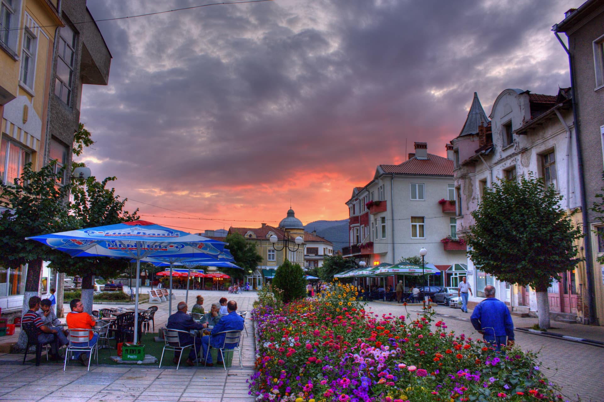
Blagoevgrad region
9.0 km away
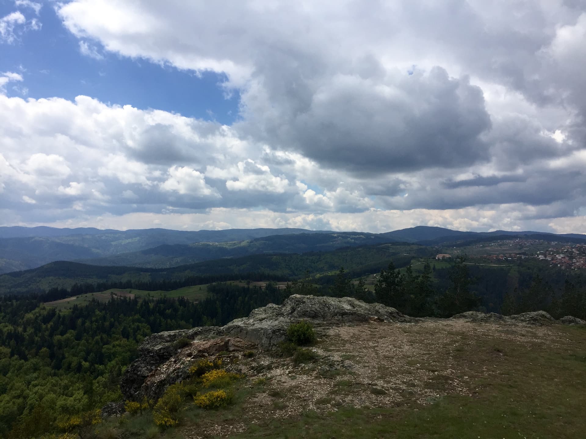
Pazardzhik region
11.2 km away
Veliytsa is located in Pazardzhik, Bulgaria.
Veliytsa is most easily reached by car. Use the coordinates above to navigate, or open the location in OpenStreetMap or your preferred maps app for turn-by-turn directions. Public transport options vary by region — for remote destinations a rental car gives the most flexibility.
Late spring through early autumn (May–September) is best for Veliytsa, when trails are clear of snow and weather is most stable. Higher peaks may hold snow into June and see fresh snow as early as October. Winter visits are for experienced mountaineers with proper gear.
Veliytsa reaches an elevation of 1,712 metres above sea level.
Hiking boots, layered clothing, water (1.5–2 L per person), sun protection, and a windproof jacket — mountain weather changes quickly. For longer routes also bring a map (paper or offline), a head torch, and emergency rations. Tell someone your planned route and expected return time.