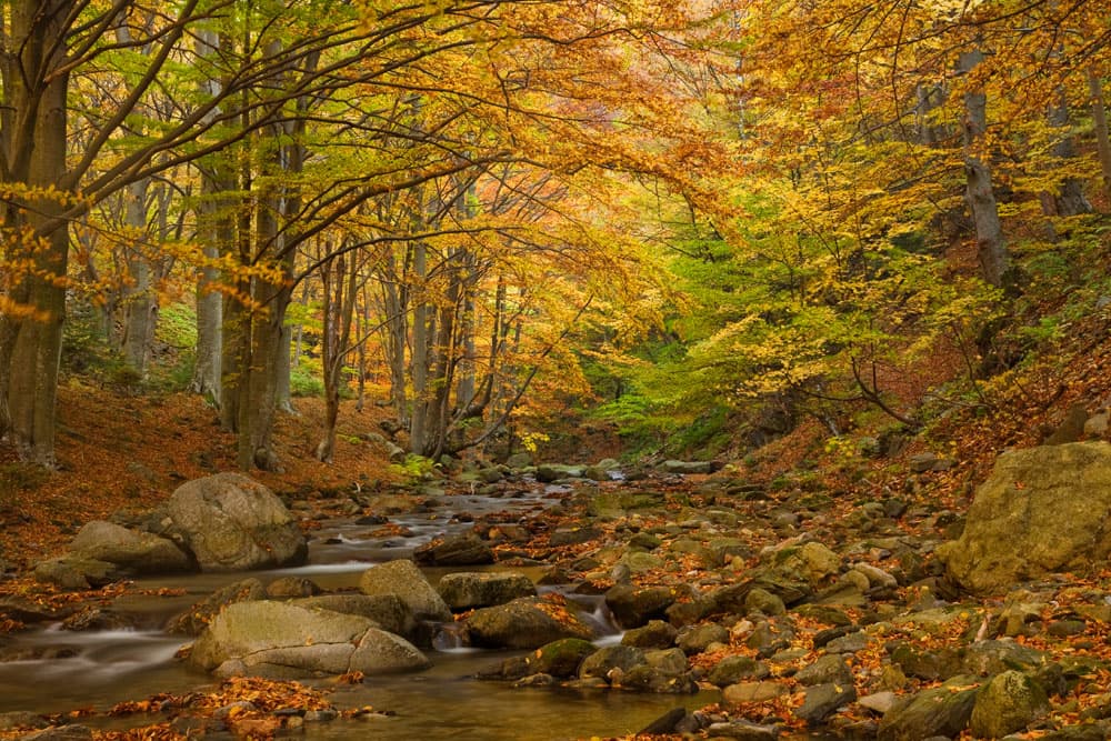
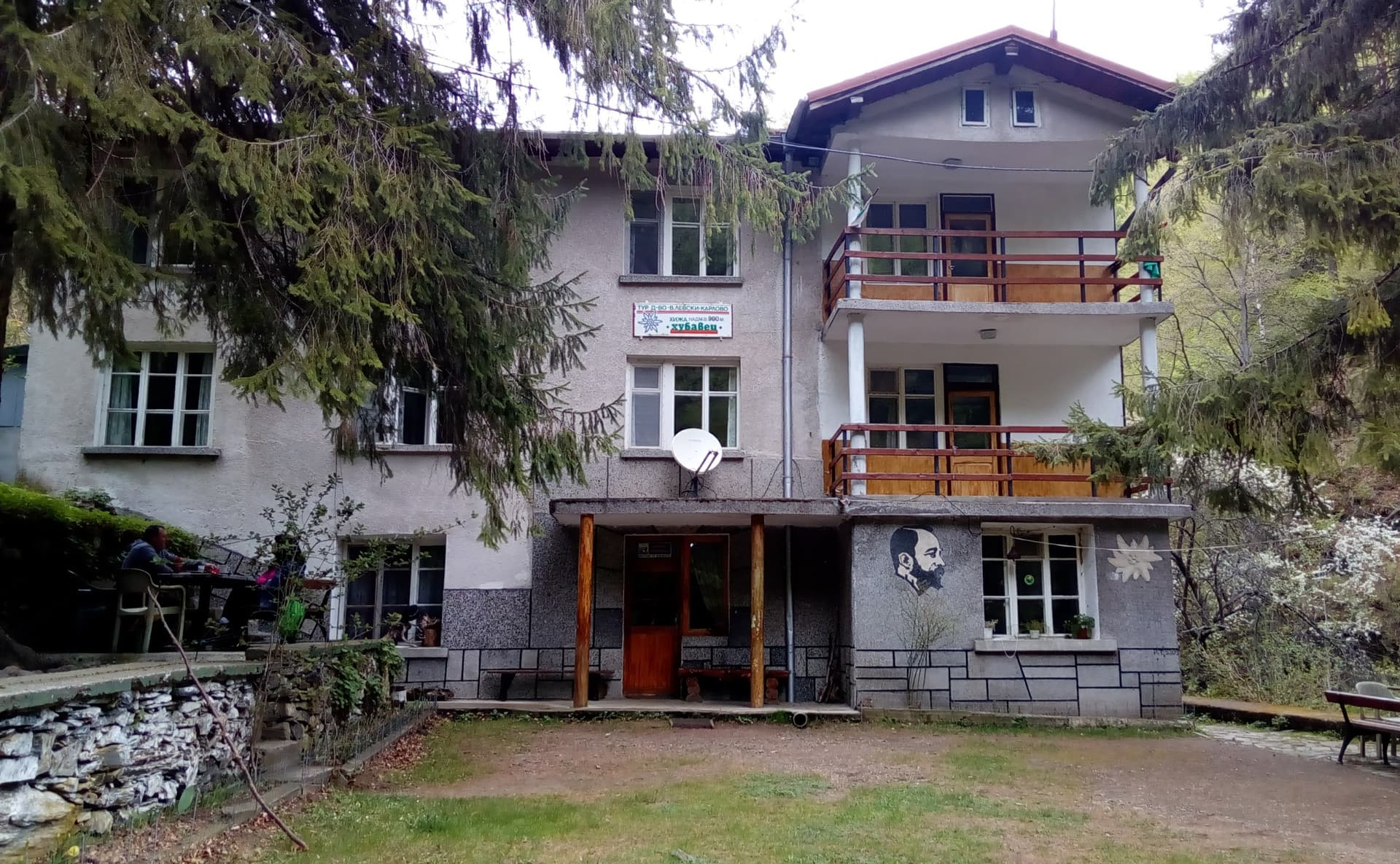
The trek from the town of Karlovo to the Vasil Levski Hut is one of the most rewarding and dynamic routes in the Central Balkan National Park. Far from a monotonous forest climb, this trail winds through the beautiful "Stara Reka" Nature Reserve, crossing moss-covered bridges, passing hidden waterfalls, and offering extensive panoramic views of the Karlovo valley. Route Essentials Starting Point: The northern end of the pedestrian "Vodopad" (Waterfall) Street in Karlovo, where parking is available. Marking: Clear and frequent blue trail markers. Total Duration: Approximately 4 hours and 30 minutes at a steady pace. Terrain: The first 1.5 hours consist of rugged, rocky terrain, followed by a flat forest path. The final stretch introduces a steep, demanding ascent. Water Sources: Available at the trailhead, at all three mountain huts along the way, and at two fresh springs before reaching Hubavets Hut. Step-by-Step Trail Guide 1. From Karlovo to Hubavets Hut (2 hours) The hike begins at the end of Vodopad Street. Just before reaching the main Karlovo Waterfall, take the dirt path on the left climbing through steep soil gullies. The first 30–40 minutes are exposed and uphill until you reach a panoramic ridge (where the green trail splits off towards Dobrila Hut). Continue right along the blue trail into the gorge. After passing the main viewpoint overlooking the Karlovo valley, the terrain becomes rocky with rolling ascents and descents near a minor waterfall. The rough terrain ends at "Barazha"—the water intake structure for the local hydropower plant. From here, the path flattens, leading through a dense forest to Hubavets Hut. 2. From Hubavets Hut to Balkanski Rozi Hut (1 hour) This is the most enjoyable and scenic section of the entire journey. The trail follows the riverbed closely with a very gentle incline. You will cross picturesque concrete bridges swallowed by green moss. Halfway through this section, you will spot a quirky local landmark called "Mechi Grob" (The Bear's Grave)—a pile of rocks marked with a wooden cross that humorously claims to be the final resting place of a notorious local bear. After a relaxed 1-hour walk, you will arrive at Balkanski Rozi Hut. 3. From Balkanski Rozi Hut to Vasil Levski Hut (1 hour 30 minutes) The final leg starts with an easy stroll through the river valley. However, the difficulty increases sharply after crossing a bridge over the river at the halfway mark. The trail leaves the riverbed behind and begins a steep, continuous zigzag high above the canyon floor, maintaining this intense incline until you reach Vasil Levski Hut. Onward Destinations: Vasil Levski Hut serves as a major alpine crossroads. From here, you can push forward to Botev Shelter and Botev Peak (the highest summit of the Balkan Range), or head towards the Rai, Pleven, Ambaritsa, Dobrila, or Ravnets huts.
Plovdiv
0.9 km away
Plovdiv
1.7 km away

Plovdiv
2.3 km away

Plovdiv
2.5 km away
Karlovo - h. Vasil Levski is located in Plovdiv, Bulgaria.
Karlovo - h. Vasil Levski is most easily reached by car. Use the coordinates above to navigate, or open the location in OpenStreetMap or your preferred maps app for turn-by-turn directions. Public transport options vary by region — for remote destinations a rental car gives the most flexibility.
Karlovo - h. Vasil Levski is best walked from May through October, when the trail is clear of snow and weather is generally stable. Summer middays can be hot at lower altitudes — start early. Winter walking requires proper gear and route knowledge.
Suitability depends on the specific route. Bulgarian trails range from paved family-friendly paths to multi-day high-mountain crossings. Check the length, elevation gain, and surface before setting off. Sturdy footwear, water, and a basic map (offline or paper) are essential even on short walks.