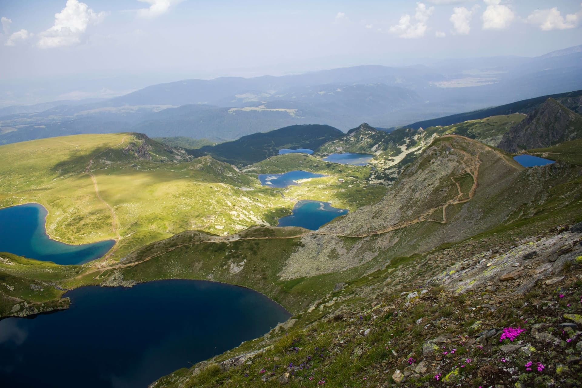
The route starts in the village of Vladaya, part of Sofia municipality on the city's western edge, and climbs to Cherni Vrah (2,290 m), the highest peak of Vitosha. It is marked in blue, the path is about 12 km, and the climb takes about 5 hours. It is one of the longest and quietest approaches to the summit.
From Vladaya the path climbs to Zlatnite Mostove, where a steeper climb begins towards Kumata hut. From there the blue waymarks continue up to the ridge, where they meet the path from Selimitsa hut, and reach Cherni Vrah. The way leads from the low forests through open meadows to the rocky ridge.
The height gain is about 1,400 m, so the route is for strong walkers. The climb is steady, and the upper part is open and windy. Allow a full day if you are walking down too, or descend from the summit to Aleko hut, where there is transport back to town.
Vladaya is in Sofia municipality and is served by city public transport. The most convenient places to come down to are Aleko hut and Zlatnite Mostove.
The route is walked from late spring to autumn. In winter the upper part is snowbound and needs winter gear. The weather on the summit changes fast, so bring a windproof jacket even in summer.
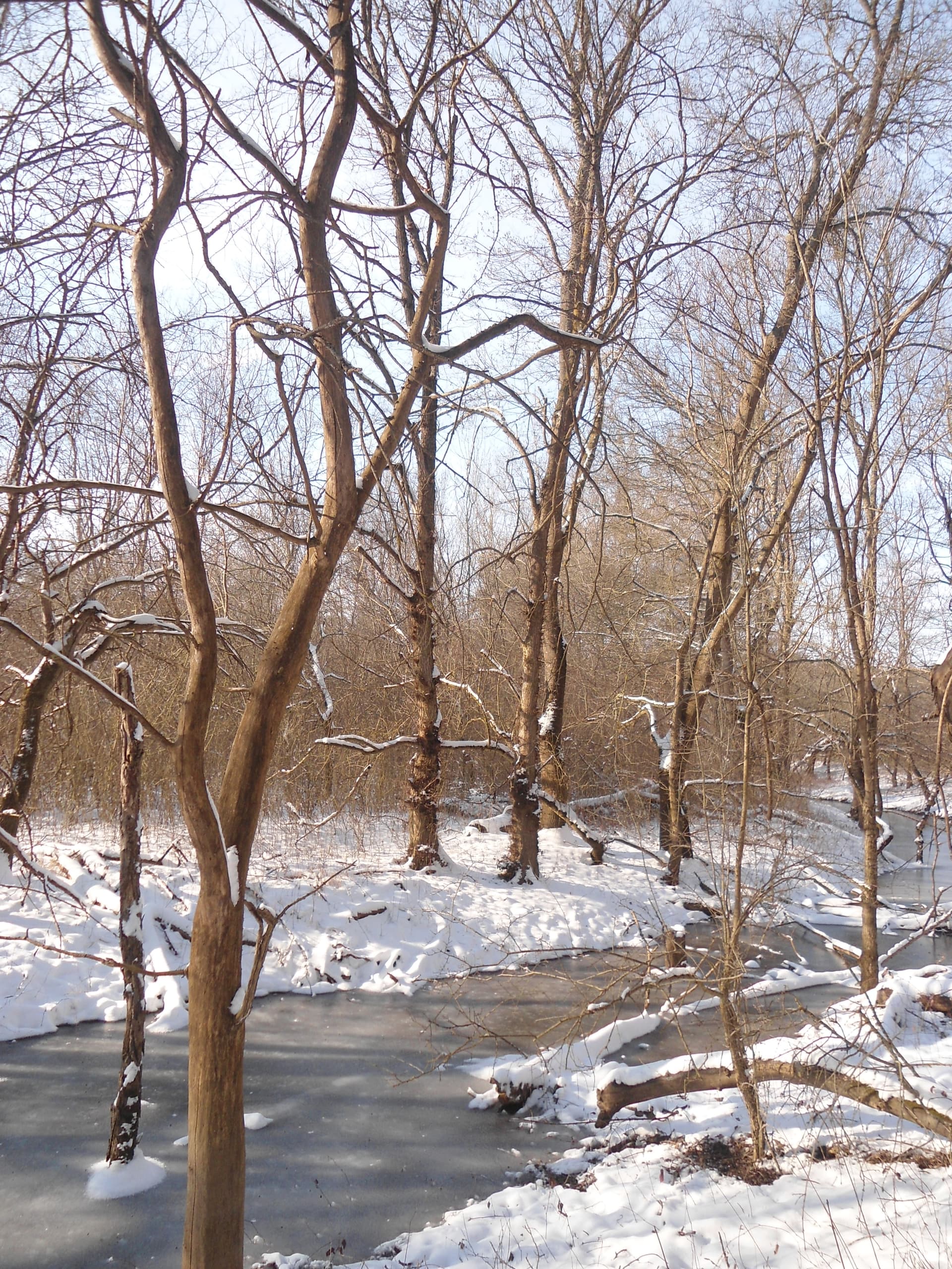
Sofia City region
2.3 km away
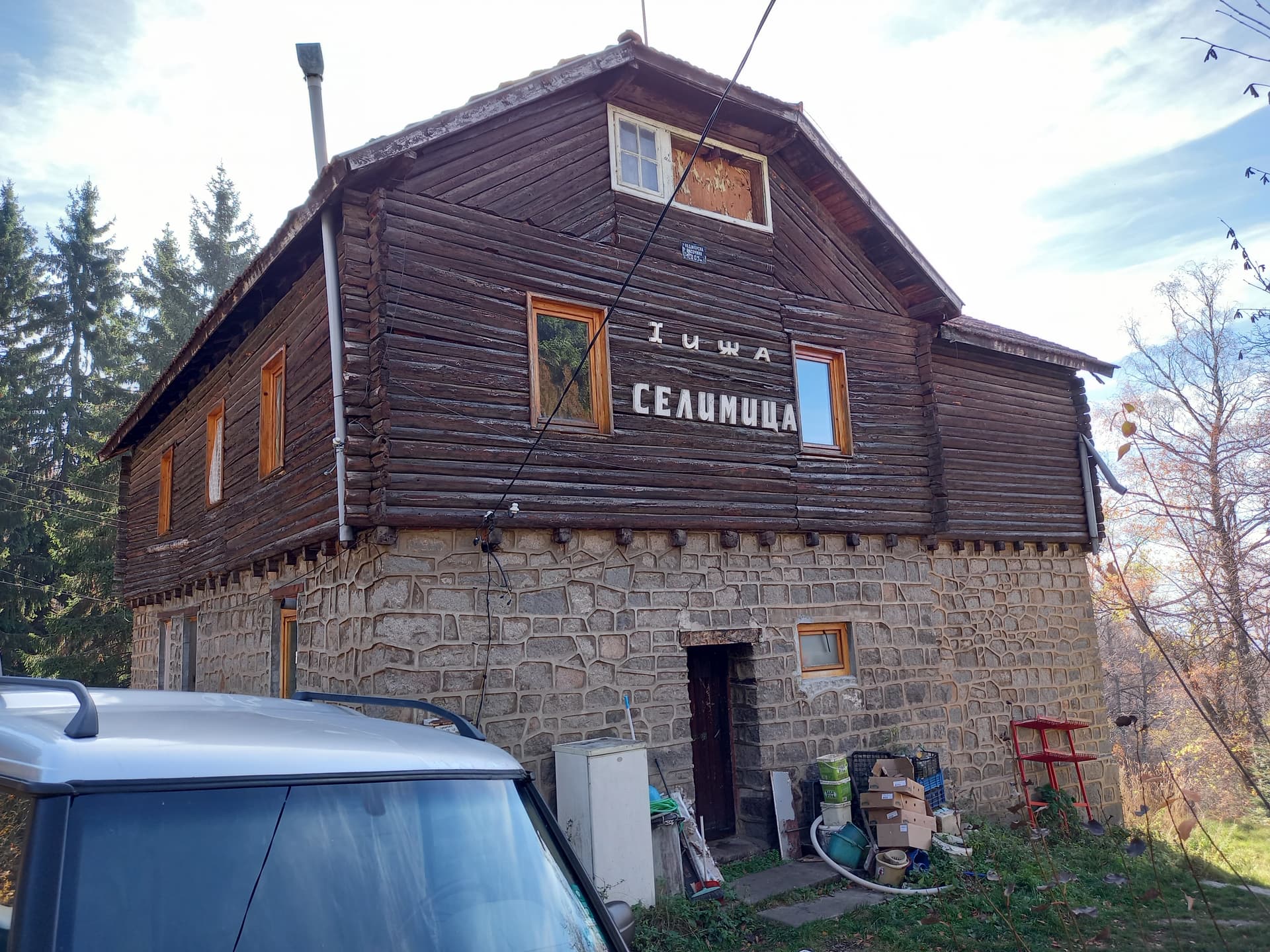
Sofia City region
2.6 km away

Sofia City region
3.8 km away
Vladaya – Cherni Vrah is located in Sofia City, Bulgaria.
Vladaya – Cherni Vrah is most easily reached by car. Use the coordinates above to navigate, or open the location in OpenStreetMap or your preferred maps app for turn-by-turn directions. Public transport options vary by region — for remote destinations a rental car gives the most flexibility.
Vladaya – Cherni Vrah is best walked from May through October, when the trail is clear of snow and weather is generally stable. Summer middays can be hot at lower altitudes — start early. Winter walking requires proper gear and route knowledge.
Suitability depends on the specific route. Bulgarian trails range from paved family-friendly paths to multi-day high-mountain crossings. Check the length, elevation gain, and surface before setting off. Sturdy footwear, water, and a basic map (offline or paper) are essential even on short walks.