


Cherni Vrah: Hiking Vitosha's Summit from Sofia
In this guide▾
Few capital cities in the world have a genuine 2,000-meter mountain on their doorstep — Sofia does. Cherni Vrah ("Black Peak"), the 2,290-meter summit of Vitosha, rises straight above the city, close enough to climb on a free morning and be back for lunch. It's the highest point of Vitosha and, by a wide margin, the easiest big summit in Bulgaria.
That accessibility makes it the perfect first high peak — a real mountaintop reachable by families, fit beginners and anyone with a few hours to spare. This guide covers the route from Aleko, how to get there by bus or car, which lifts actually run, difficulty, and the seasons.

📍 Where Is Cherni Vrah?
Cherni Vrah crowns Vitosha, the broad massif inside Vitosha Nature Park that forms the green backdrop to Sofia. The usual launch point is Aleko hut at around 1,810 meters on the mountain's northeastern side — a hub of huts, hotels, ski lifts and trails.
🚗 Getting to the Trailheads
Vitosha's great advantage is its closeness to the city. The main ways up:
- By car to Aleko: a paved road climbs from the Dragalevtsi district of Sofia to Aleko, about 20 km from the centre. Parking is free, by the hut and around Hotel Moreni, but at weekends it is very hard to find a space — arrive early or take the bus.
- By bus 66: since February 2025, city bus 66 has run from the Zoo, via Vitosha metro station and Dragalevtsi, all the way up to Aleko hut, making the whole hike possible without a car. Buses run every 60–120 minutes, mainly at weekends and on holidays. The first bus leaves at around 09:30 on weekdays and earlier at weekends (around 07:30 or 09:00). Check the current timetable before you go, and plan your descent around the last bus down.
- By bus 63 to Zlatni Mostove: the western trailhead at Zlatni Mostove ("Golden Bridges"), the famous stone river, is served by bus 63, with the most frequent service at weekends.
Which Lifts Still Run?
Many older guides still send you up by gondola. The current picture:
- Simeonovo gondola: not running. Its operator, Vitosha Ski, lists it as out of service.
- Dragalevtsi chairlift: out of service for years. A court ordered the owner to repair it, but it has not reopened.
- Vitoshko Lale 1 and 2 (from Aleko): these two chairlifts run on summer weekends, weather permitting, 09:00–16:30, until the end of September. They start at Aleko and climb toward Golyam Rezen, close to the summit ridge, which cuts most of the climb.
Vitoshko Lale prices (checked September 2026). Tickets are sold per ride, and one ride is one lift:
| Rides | Adult | Students & pensioners | Children under 12 & disabled |
|---|---|---|---|
| 1 (one lift, one way) | €3.50 | €3.00 | €2.50 |
| 2 (both lifts up) | €6.50 | €5.50 | €4.00 |
| 3 | €9.00 | €7.50 | €5.50 |
| 4 (both lifts up and down) | €11.00 | €9.00 | €6.50 |
With family packages, children under 7 ride free with a parent: one parent pays the adult price, two parents pay double, however many under-7s come along. Students need a document proving their status, and disabled visitors need a valid TELK decision.
Longer Routes from Below
Longer, quieter routes climb from Zlatni Mostove and the Boyana/Kopitoto side — good options for a bigger day on the mountain. Waymarked approaches also run to the summit from Vladaya on the western side, from Zheleznitsa via the Kupena hut, and from Yarlovo over Siva Gramada in the south.

🥾 The Route: Aleko to the Summit
From Aleko, the standard path to the top is short and simple by mountain standards:
- Distance: about 3 km one way.
- Ascent: about 480 meters, from 1,810 m to 2,290 m.
- Time: roughly 1.5 hours up, about an hour down.
- Waymarking: red markers, painted on the stones and on poles.
- Difficulty: easy to moderate. A clear, well-worn, non-technical trail. It zigzags up a stony slope and crosses boulder fields higher up, so wear shoes with grip rather than trainers.
How long do you need? Half a day covers Aleko to the summit and back with a break on top. Add the bus or drive from Sofia and it fits comfortably into a morning.
The summit itself is a broad, stony dome with a meteorological station. There are no facilities to rely on, so bring your own water, food and a warm drink. The views sweep over Sofia below and, on clear days, to Rila and Pirin on the southern horizon. It's a favourite weekend goal for Sofianers, so expect company on sunny days and far cooler, windier conditions up top than in the city.
From the summit, trails continue to Golyam Rezen (about 30 minutes east), Kumata hut and Zlatni Mostove, and south to Selimitsa hut and Kladnitsa, so you can make a traverse instead of returning the same way.
🗓️ Season, Weather & What to Bring
- June to October gives the easiest walking — snow-free trails and long days.
- Winter brings snowshoers and ski tourers to the summit. The route needs proper winter kit, and fog on the open summit plateau makes navigation hard: follow the marker poles and turn back if visibility goes.
- Quietest time: on weekday mornings the path is nearly empty, while sunny weekends bring crowds.
- Year-round caveat: the exposed top is often much colder, windier and foggier than the streets below, even in summer.
Bring warm and windproof layers, a rain shell, sun protection, water and snacks, and shoes with grip. Vitosha's weather can flip quickly — a sunny city morning can mean cloud and cold wind on the summit.
👨👩👧👦 Is It Suitable for Children?
Yes, for children who are used to walking. The route from Aleko is short and non-technical. The path is stony and climbs steadily, so it is not suitable for pushchairs, and small children will need breaks. On summer weekends, the Vitoshko Lale chairlifts take most of the climb out of it, and children under 7 ride free with a parent.
🛏️ Where to Stay
Most people do Cherni Vrah as a morning trip from Sofia, and staying in the city is the practical choice. For an early start on the mountain itself, Aleko hut and the hotels around it sit right at the trailhead, and Kumata hut below the summit is an option on a traverse toward Zlatni Mostove.
🧭 What Is Nearby
- Boyana Church (~30 min from Aleko) — the UNESCO-listed medieval church at the foot of Vitosha, with frescoes from 1259.
- Zlatni Mostove (~40 min by car) — the "Golden Bridges" stone river, an easy walk for a second, gentler outing.
- Dragalevtsi Monastery (~20 min) — a 14th-century monastery in the forest on the way down from Aleko.
For all of these and more, see our full Vitosha guide.
🥇 Bulgaria's Easiest Big Summit
Because it's so reachable, Cherni Vrah is the ideal warm-up for bigger ambitions. If it whets your appetite, the next steps up are Musala — the roof of the Balkans, with a head start from the Borovets gondola — and the wider set of the country's highest peaks.
Cherni Vrah is the mountain summit you can reach on a whim — Sofia's own 2,290-meter peak, and the friendliest introduction to Bulgaria's high country. Plan your hike with Mestala.com.
This guide covers 6 places
Want more Mestala in your Google results?
Add mestala.com as a preferred source and our guides will show up more often when you search. Requires a Google account.
Frequently Asked Questions
How high is Cherni Vrah and where is it?▾
Cherni Vrah ('Black Peak') is 2,290 meters — the highest point of Vitosha, the mountain that rises straight above Sofia. It sits inside Vitosha Nature Park, on the city's doorstep, making it the most accessible 2,000-meter-plus summit in Bulgaria and a hugely popular hike with locals year-round.
How do you climb Cherni Vrah?▾
The easiest route starts from Aleko hut (about 1,810 m), reached by car via Dragalevtsi or by city bus 66. From Aleko, a red-marked path of about 3 km climbs roughly 480 meters to the summit in about 1.5 hours, with around an hour for the descent. Longer, quieter routes climb from Zlatni Mostove, Boyana, Vladaya, Zheleznitsa and Yarlovo.
Is Cherni Vrah an easy hike?▾
By big-summit standards, yes — it's Bulgaria's most beginner-friendly high peak. From Aleko the trail is short, well-trodden and non-technical, suitable for families and fit first-timers. The path is stony rather than smooth, though, and the summit is often cold, windy and wrapped in fog even in summer, so bring layers and good shoes.
Can you take a lift up Vitosha toward Cherni Vrah?▾
Partly. The Simeonovo gondola from the edge of Sofia is not running, and the Dragalevtsi chairlift has been out of service for years, so you have to reach Aleko by car or bus 66. From Aleko, the Vitoshko Lale 1 and 2 chairlifts run on summer weekends, weather permitting, from 09:00 to 16:30, and take you up toward Golyam Rezen, close to the summit ridge. Tickets are sold per ride: €3.50 for adults for one lift, €6.50 for both lifts up, and €11 to ride both lifts up and down (checked September 2026).
Is there a bus to Aleko and Cherni Vrah?▾
Yes. Since February 2025, Sofia city bus 66 has run from the Zoo, via Vitosha metro station and Dragalevtsi, all the way up to Aleko hut, the start of the easiest route to Cherni Vrah. It runs every 60 to 120 minutes, mainly at weekends and on holidays; the first bus leaves at around 09:30 on weekdays and earlier at weekends. Check the timetable before you go. For Zlatni Mostove, the western trailhead, take bus 63.
When is the best time to hike Cherni Vrah?▾
It's a genuine year-round summit. June to October offers the easiest walking on snow-free trails. In winter the route is used by snowshoers and ski tourers and needs proper winter kit and navigation, because fog on the open summit plateau is common. Whatever the season, the top can be far colder and windier than the city below.
Is Cherni Vrah suitable for children?▾
Yes, for children who are used to walking. The route from Aleko is short and non-technical, but it is stony and steady uphill, so it is not suitable for pushchairs. On summer weekends the Vitoshko Lale chairlifts shorten the climb, which helps with younger children.
You might be interested in
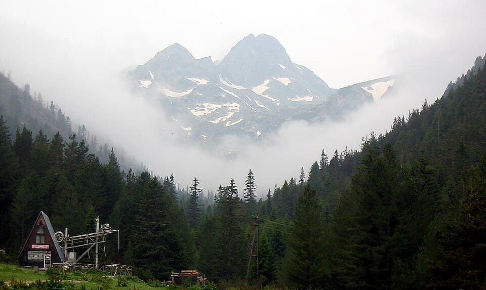
Malyovitsa: Rila's Most Iconic Day Hike
How to hike Malyovitsa (2,729 m), the cradle of Bulgarian mountaineering in northern Rila — the route from the resort and hut, parking, difficulty and season.
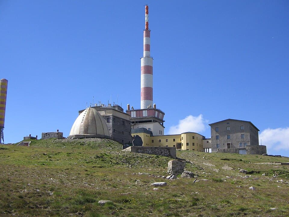
Botev Peak & Raysko Praskalo: Hiking the Central Balkan
How to hike Botev Peak (2,376 m), the highest summit of the Balkan Mountains, from Kalofer — past Raysko Praskalo, the highest waterfall in the Balkans.
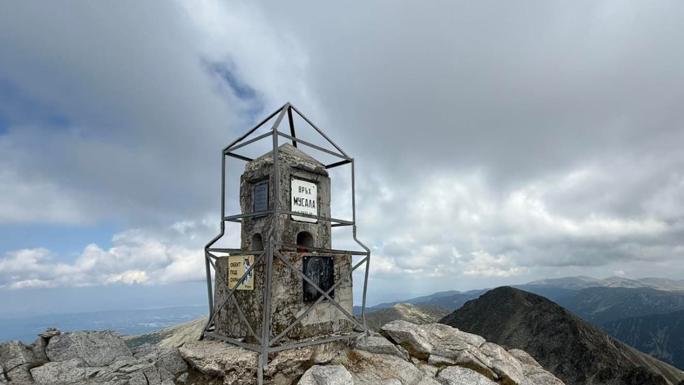
Climbing Musala: Bulgaria's & the Balkans' Highest Peak
How to climb Musala (2,925 m), the highest peak in Bulgaria and the Balkans: the Borovets gondola, the route, huts, distances, season and what to pack.
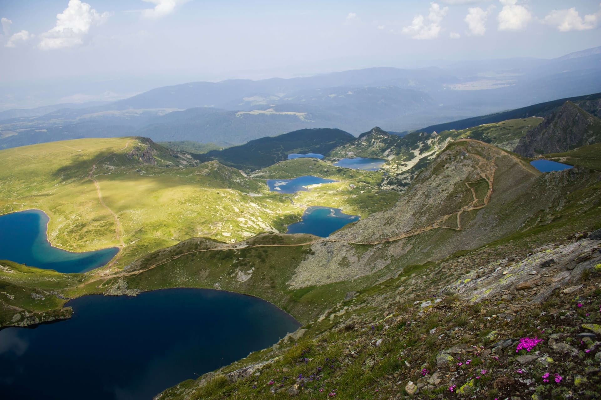
Hiking the Seven Rila Lakes: Trail, Lift & Best Time
A complete guide to hiking the Seven Rila Lakes: the trailhead, chairlift prices and hours, the loop trail, parking, family tips, distances from Sofia, and where to stay.