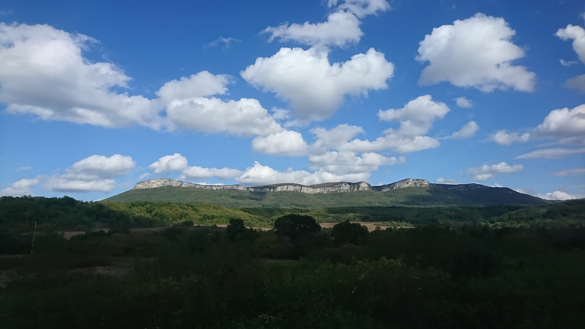
Vitata Stena is a rock face at the western end of the Strazhata plateau, above the Sevlievo plain, about 10 km from Sevlievo.
The sheer band of rock closes the Strazhata plateau to the west. The villages of Lopushnitsa and Lakavets lie at its foot, and along the crest, between the villages of Yavorets and Vlaychovtsi, runs a 22 km eco-trail. The area is a protected zone.
In 1962–1965 Prof. Atanas Milchev and K. Koycheva carried out archaeological research at Vitata Stena. Six kilometres west of the village of Zdravkovets they found a multi-layer settlement that lasted from the Chalcolithic to the time of the Second Bulgarian State. The Neolithic cave at Vitata Stena is listed as a cultural monument of national importance.
The starting points for the crest eco-trail are the villages of Yavorets and Vlaychovtsi; the nearest town is Sevlievo. The available sources give no details on the trail's waymarking or difficulty.
Gabrovo region
9.7 km away
Gabrovo region
9.8 km away

Gabrovo region
9.8 km away

Gabrovo region
14.1 km away
Vitata Stena is located in Gabrovo, Bulgaria.
Vitata Stena is most easily reached by car. Use the coordinates above to navigate, or open the location in OpenStreetMap or your preferred maps app for turn-by-turn directions. Public transport options vary by region — for remote destinations a rental car gives the most flexibility.
Vitata Stena can be visited year-round. Spring and autumn offer the most pleasant conditions for exploring, with mild temperatures and fewer crowds. Summer is ideal for photography and longer day trips; winter visits are possible but weather can limit access at some sites.
Most natural landmarks in Bulgaria are freely accessible and open year-round, though some sites have entrance fees or require a guide. Wear sturdy footwear and bring water, as the terrain can be uneven. Respect any protective barriers and stay on marked paths to preserve the site.