MestalaMestala
HomePlacesMapTripBlogAboutFAQ
EN|БГ

Discover Bulgaria with Mestala.

AboutFAQLicensePrivacy
MountainsSofia Province

Sivrikaya

HomePlacesMountainsSivrikaya
Elevation: 2,113 mCoordinates: 42.22944, 23.73928View on OpenStreetMap

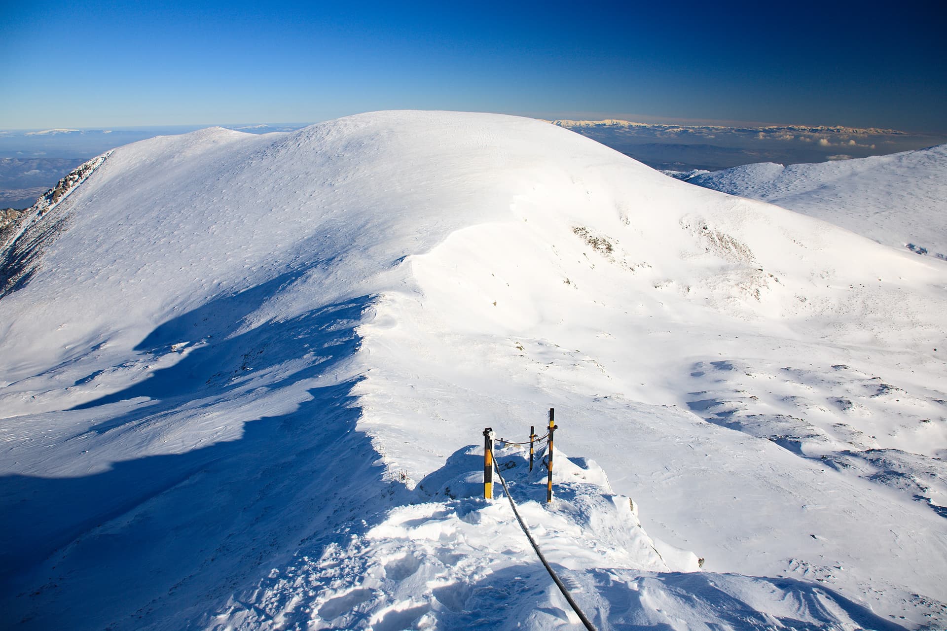
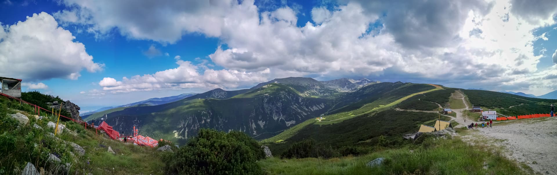
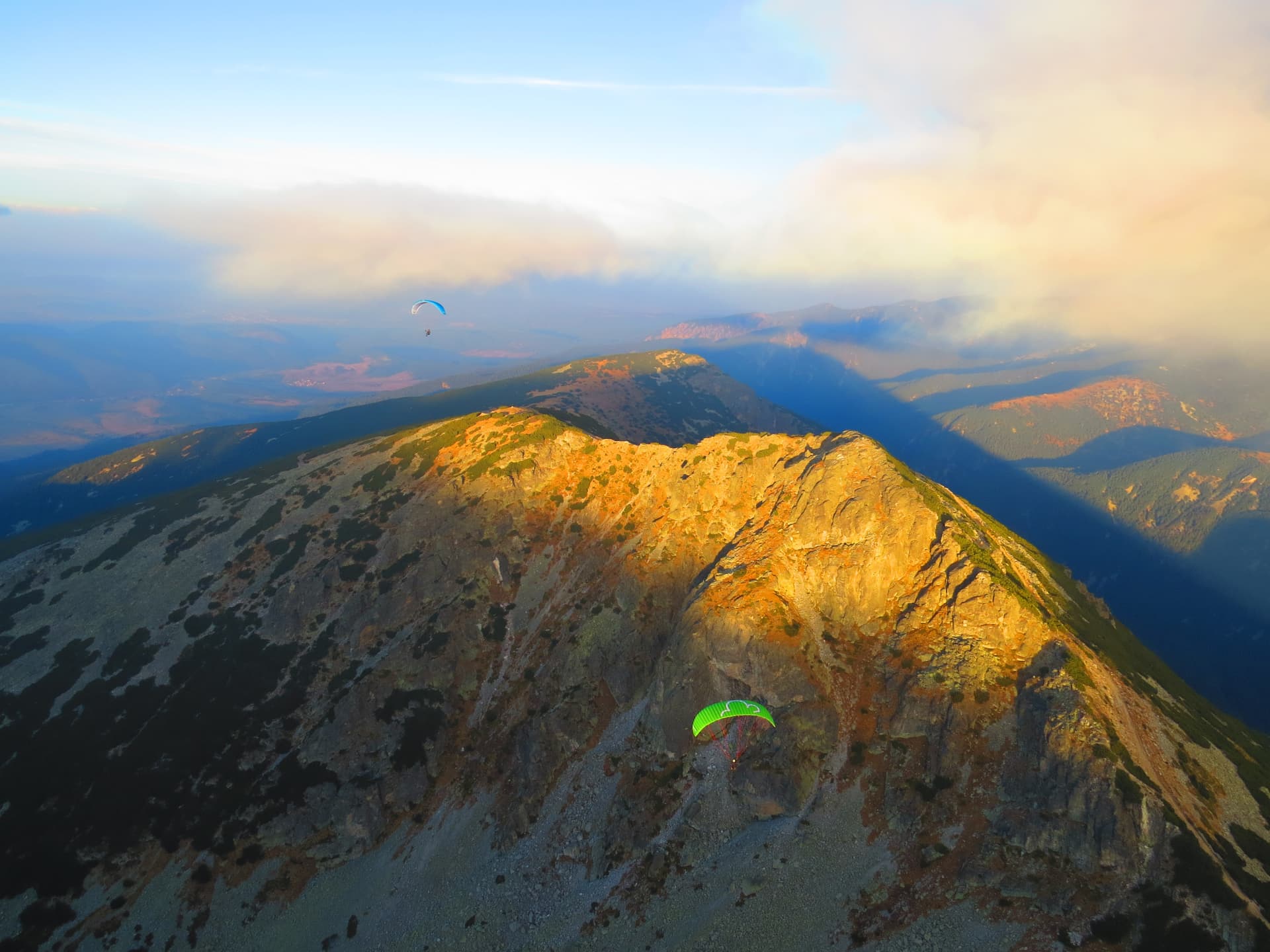
Sivrikaya Peak (2113 m) is the eighth-highest peak in Vitosha Mountain, known for its steep, rocky eastern slopes and stunning alpine character. Situated on the ridge between Cherni Vrah and the village of Yarlovo, it offers unparalleled views of the Rila, Plana, and Verila mountains. This route is perfect for hikers seeking solitude and a rewarding challenge away from the crowds. Trail Facts & Difficulty This is a summer route characterized by significant elevation gain and steep terrain. - Starting Point: Tsareva Mahala (accessible by bus from Sofia). - Duration: Approximately 3 hours one way. - Elevation Gain: 974 meters. - Distance: 6.8 km. Hike Overview Starting from Tsareva Mahala, the trail leads through deciduous forests before revealing beautiful vistas of the Plana Mountains. - Key Landmarks: The path crosses Brezovishki Dol and passes near the "Sinyata Strela" shelters, which serve as an emergency refuge. - The High Ridge: Once on the main ridge, hikers can enjoy views of Lashova Mogila and Siva Gramada. The final ascent to Sivrikaya involves climbing steep rocky slopes to the summit markers. - Caution: During wet weather, the rocky sections become slippery—tread with care! Practical Information - Starting Point: The only starting point for this specific trail is the bus stop at Tsareva Mahala. - Transport: To ensure a smooth trip, check the bus schedule for Tsareva Mahala (usually a connection from Sofia) in advance, as services are limited.

Nearby Places

Ibar Reserve
Trails

Ibar Reserve

Sofia Province

1.9 km away

Cherveni peak
Mountains

Cherveni peak

Sofia Province

4.6 km away

Ravni chal
Mountains

Ravni chal

Sofia Province

5.1 km away

Belmeken
Mountains

Belmeken

Blagoevgrad

6.0 km away

More to explore

Musala
Mountains

Musala

Sofia Province

Ibar
Mountains

Ibar

Sofia Province

Ravni chal
Mountains

Ravni chal

Sofia Province

Glavinitsa
Mountains

Glavinitsa

Sofia Province

Frequently asked questions

Where is Sivrikaya located?

Sivrikaya is located in Sofia Province, Bulgaria.

How do I get to Sivrikaya?

Sivrikaya is most easily reached by car. Use the coordinates above to navigate, or open the location in OpenStreetMap or your preferred maps app for turn-by-turn directions. Public transport options vary by region — for remote destinations a rental car gives the most flexibility.

What is the best time to visit Sivrikaya?

Late spring through early autumn (May–September) is best for Sivrikaya, when trails are clear of snow and weather is most stable. Higher peaks may hold snow into June and see fresh snow as early as October. Winter visits are for experienced mountaineers with proper gear.

How high is Sivrikaya?

Sivrikaya reaches an elevation of 2,113 metres above sea level.

What should I bring when visiting Sivrikaya?

Hiking boots, layered clothing, water (1.5–2 L per person), sun protection, and a windproof jacket — mountain weather changes quickly. For longer routes also bring a map (paper or offline), a head torch, and emergency rations. Tell someone your planned route and expected return time.