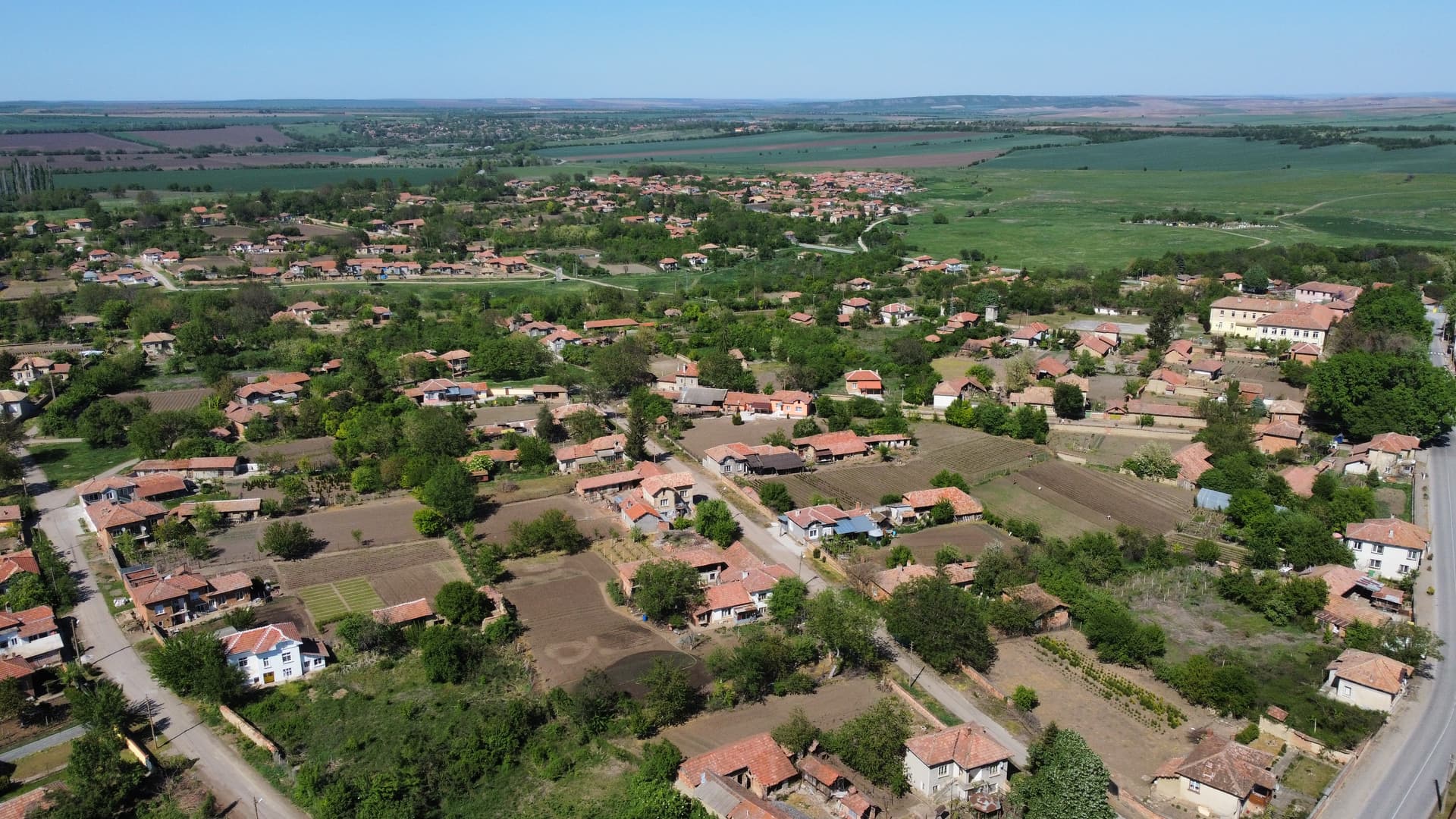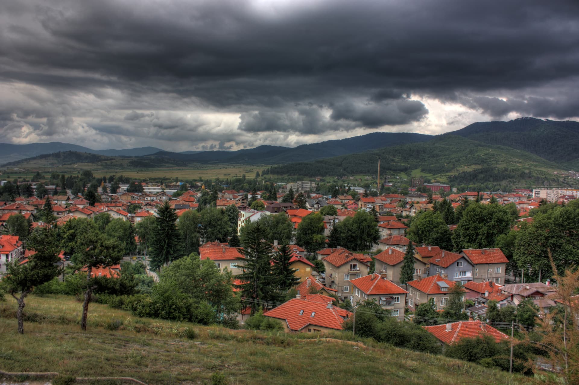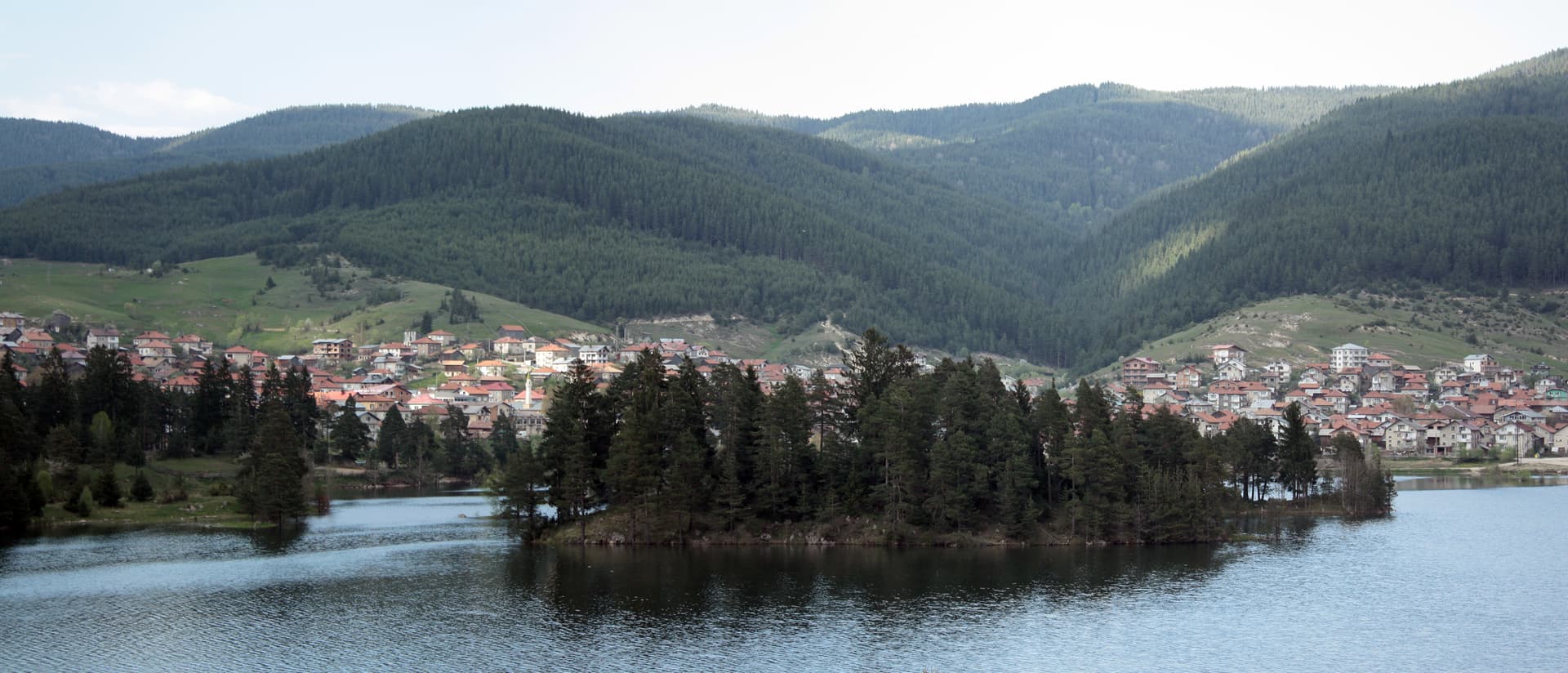
Sarnitsa is a small mountain town in Pazardzhik Province, in the Western Rhodopes, at about 1,200 m. It has about 3,300 inhabitants (NSI, end of 2025) and since 2015 has been the seat of its own municipality. It lies between the Dabrash ridge and the Veliyshko-Videnishki section of the Rhodopes, close to the Dospat river and the Dospat reservoir. Winters here are long and cold, summers cool. The town is known for Sarnitsa potatoes, grown on about 170 ha.
The settlement was founded in 1860 by a shepherd named Shaban and for almost a century was called Shabanlii. Most settlers came from Dospat. The Roman road between Philippopolis and Nicopolis ad Nestum passed near today’s town. In 1972 the forced renaming of the local Bulgarian Muslims — part of the so-called Revival Process — began in Sarnitsa. In 1975 Shabanlii, Krushata, Peteltsi, Barduche and Orlino were merged under the name Sarnitsa. It became a town on 16 September 2003, and on 1 January 2015 a separate municipality with the villages of Pobit Kamak and Medeni Polyani.
Dospat is about 22 km away, Velingrad about 47 km (a little over an hour on a mountain road) and Pazardzhik 90 km. From Sofia the road is about 190 km, around 3 hours.
The Beglika reserve (about 15 km), the town of Dospat across the reservoir, and Batak.

Blagoevgrad region
2.9 km away
Pazardzhik region
5.6 km away
Pazardzhik region
8.1 km away
Blagoevgrad region
8.8 km away
Sarnitsa is located in Pazardzhik, Bulgaria.
Sarnitsa is most easily reached by car. Use the coordinates above to navigate, or open the location in OpenStreetMap or your preferred maps app for turn-by-turn directions. Public transport options vary by region — for remote destinations a rental car gives the most flexibility.
Sarnitsa can be visited year-round, but late spring (May–June) and early autumn (September–October) offer the most pleasant weather and fewer tourists. Summer is the busiest season; winter is the quietest, with shorter daylight and possible cold weather.
Bulgarian settlements typically reward unhurried walking — historic centres, churches and monasteries, local markets, and family-run restaurants serving regional dishes. Larger towns often have museums and seasonal cultural events. The local tourist information centre is a good first stop for current opening hours and what's on.