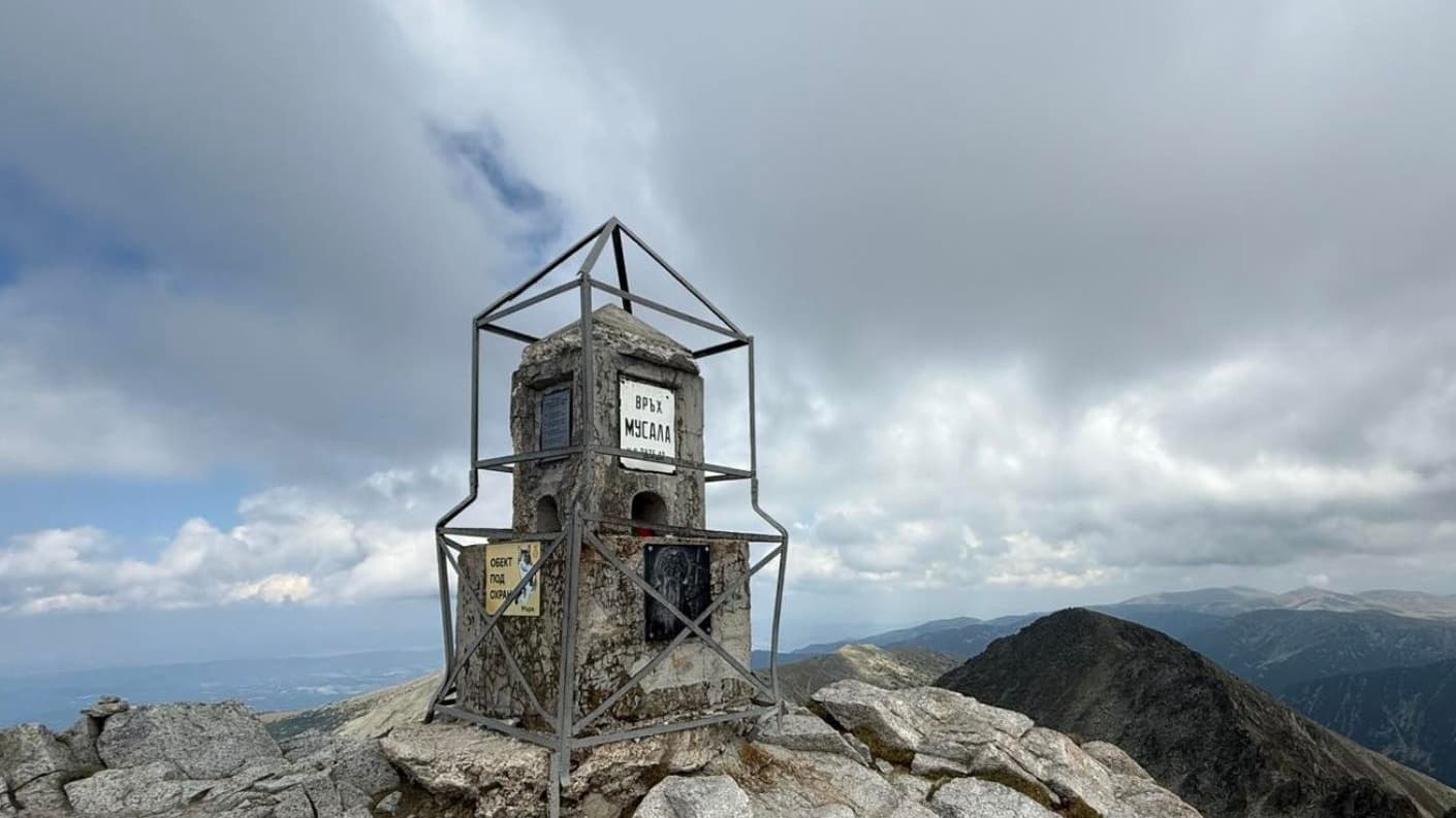
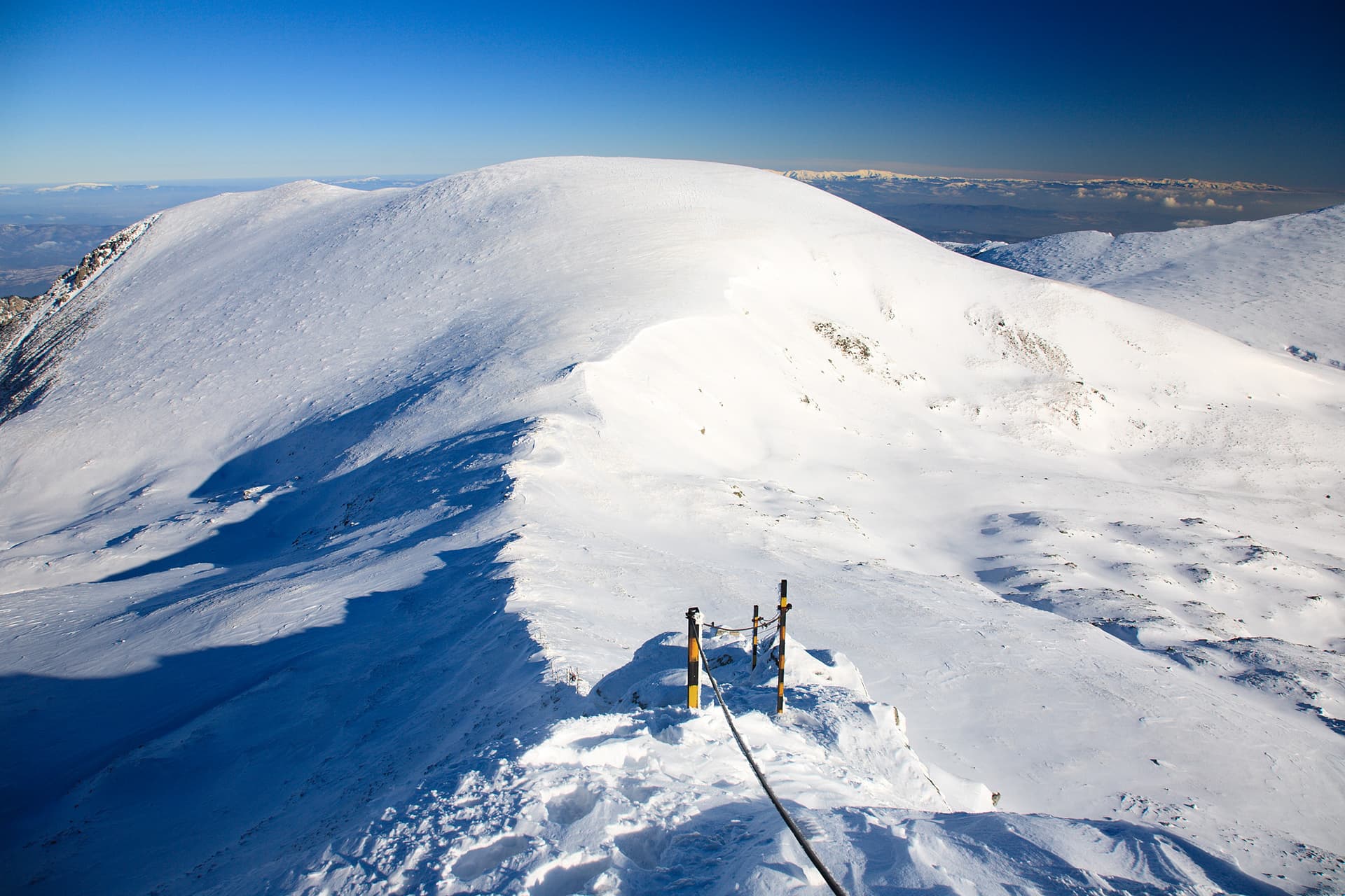
Pogledets Peak (2,690 m) is a hidden gem of the Marinkovitsa ridge in Central Rila. Situated on a side ridge north of Marinkovitsa Peak, it offers one of the most breathtaking perspectives over the rugged alpine landscape. The peak acts as a watershed between the Upper and Lower Leva rivers, with some of Rila's most remote glacial lakes hidden at its feet. Route Statistics - Starting Point: The canton at Tiha Rila (accessible by 4x4 vehicles). - Duration: Approx. 4-5 hours (one way, excluding the hike from Kirilova Polyana). - Difficulty: Moderate in summer, but demanding in terms of navigation. - Note: The trail is unmarked and requires careful attention to terrain features. Trail Description Highlights - Tiha Rila to the Sheepfold (45 min): Start north through a coniferous forest, then turn northeast at a large meadow with ruins of an old sheepfold. - Joining the Main Ridge: The path joins the marked trail between Ribni Ezera Hut and Kobilino Branishte (marked with winter metal poles). - The Critical Turn (Pole #33): After climbing through dwarf pine (klek), look for metal pole #33. Shortly after it, leave the marked trail and turn right (northeast). - Marinkovitsa Peak: Follow the grassy slopes to the ridge. From the saddle, a 20-minute walk east takes you to the stone pyramid of Marinkovitsa. - Reaching Pogledets: Descend north to the saddle between the two peaks, then climb the southern grassy slopes of Pogledets for 30 minutes until you reach the wooden pole marker. View from the Top - To the South: The massive Shishkovitsa Peak and the "Zhandarmite" formations. - To the Northeast: The Lower Levorechko Lake. - Below: Lake Iozola—renowned as one of the most inaccessible lakes in the entire Rila range. Essential Safety Tips - Navigation: In low visibility, the risk of getting lost is high. GPS is strongly recommended after leaving the marked trail at pole #33. - Time Management: If starting from Kirilova Polyana on foot, add at least 4 hours to the total trip time. - Water: Several streams are crossed at the beginning, but no water is available on the high ridges. - Seasonal Warning: This guide is strictly for summer hiking.

Sofia Province
2.7 km away
Sofia Province
2.7 km away
Sofia Province
2.8 km away
Sofia Province
3.1 km away
Pogledets (Yozola) is located in Sofia Province, Bulgaria.
Pogledets (Yozola) is most easily reached by car. Use the coordinates above to navigate, or open the location in OpenStreetMap or your preferred maps app for turn-by-turn directions. Public transport options vary by region — for remote destinations a rental car gives the most flexibility.
Late spring through early autumn (May–September) is best for Pogledets (Yozola), when trails are clear of snow and weather is most stable. Higher peaks may hold snow into June and see fresh snow as early as October. Winter visits are for experienced mountaineers with proper gear.
Pogledets (Yozola) reaches an elevation of 2,691 metres above sea level.
Hiking boots, layered clothing, water (1.5–2 L per person), sun protection, and a windproof jacket — mountain weather changes quickly. For longer routes also bring a map (paper or offline), a head torch, and emergency rations. Tell someone your planned route and expected return time.