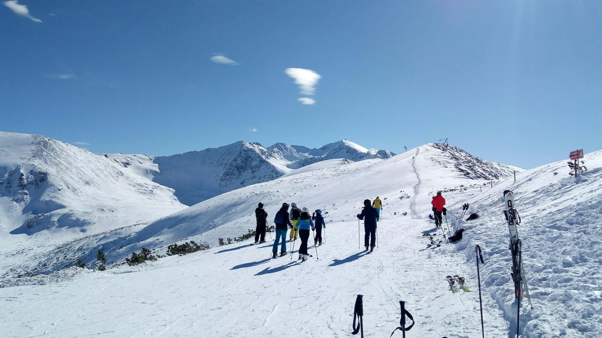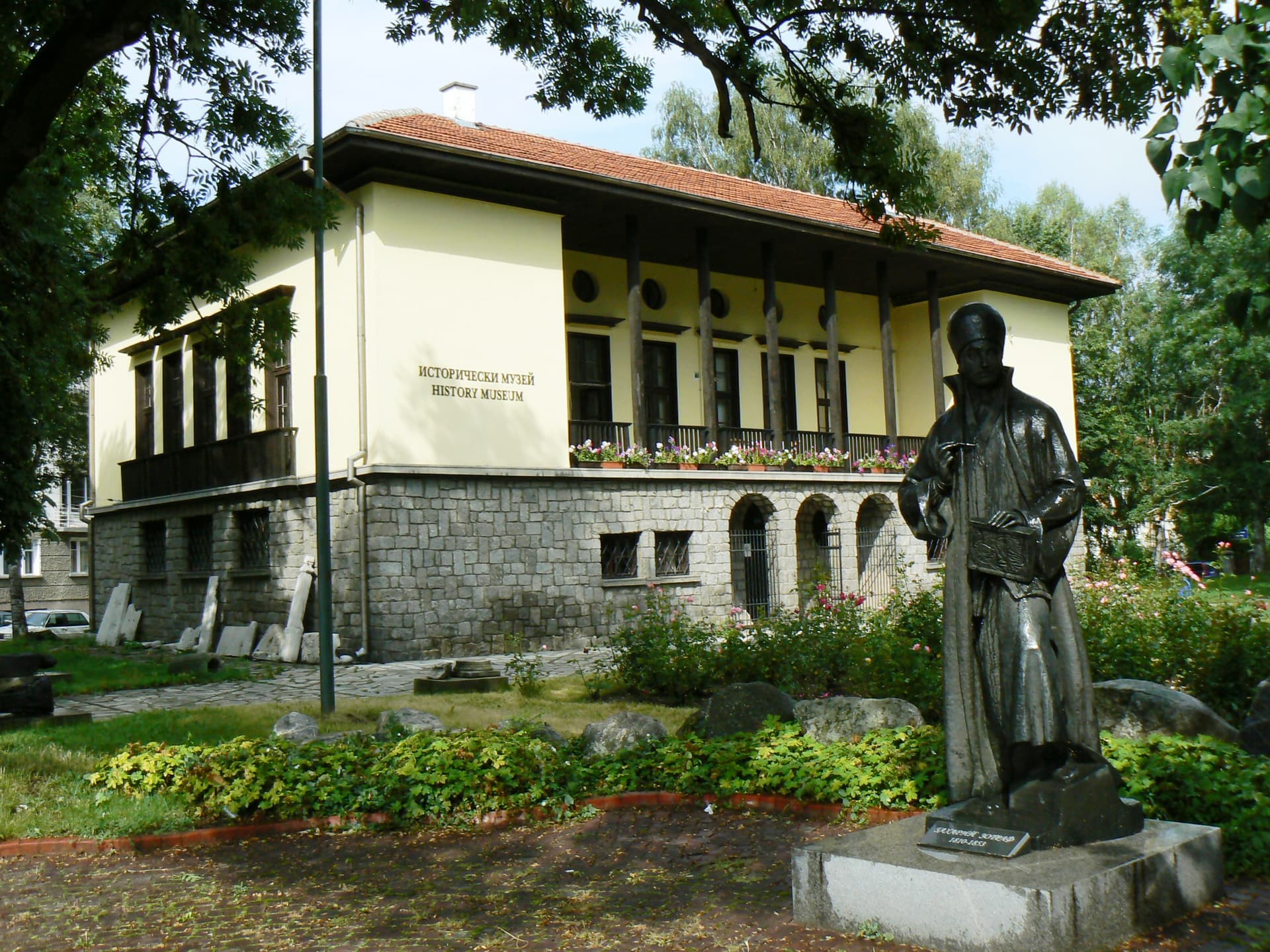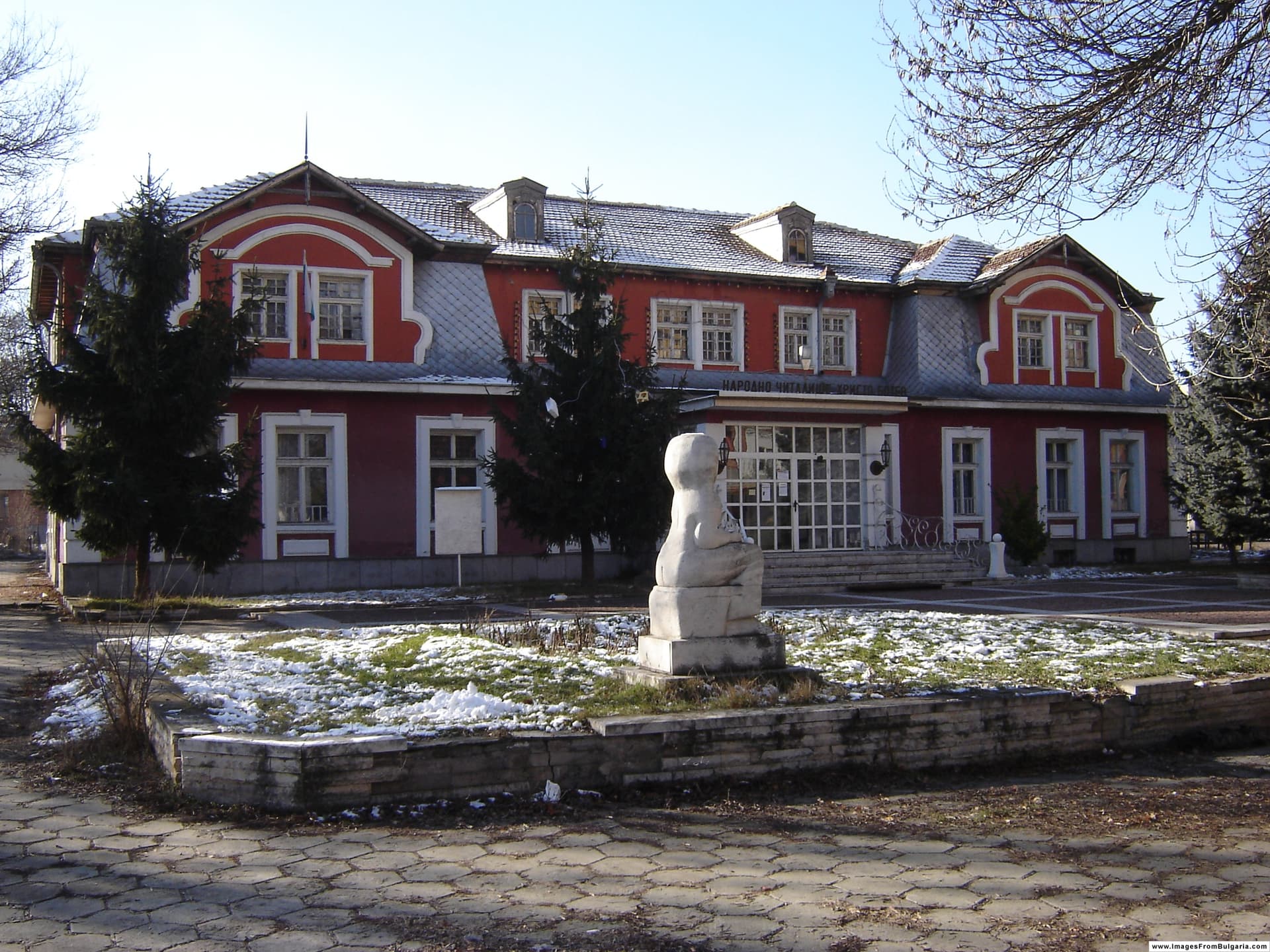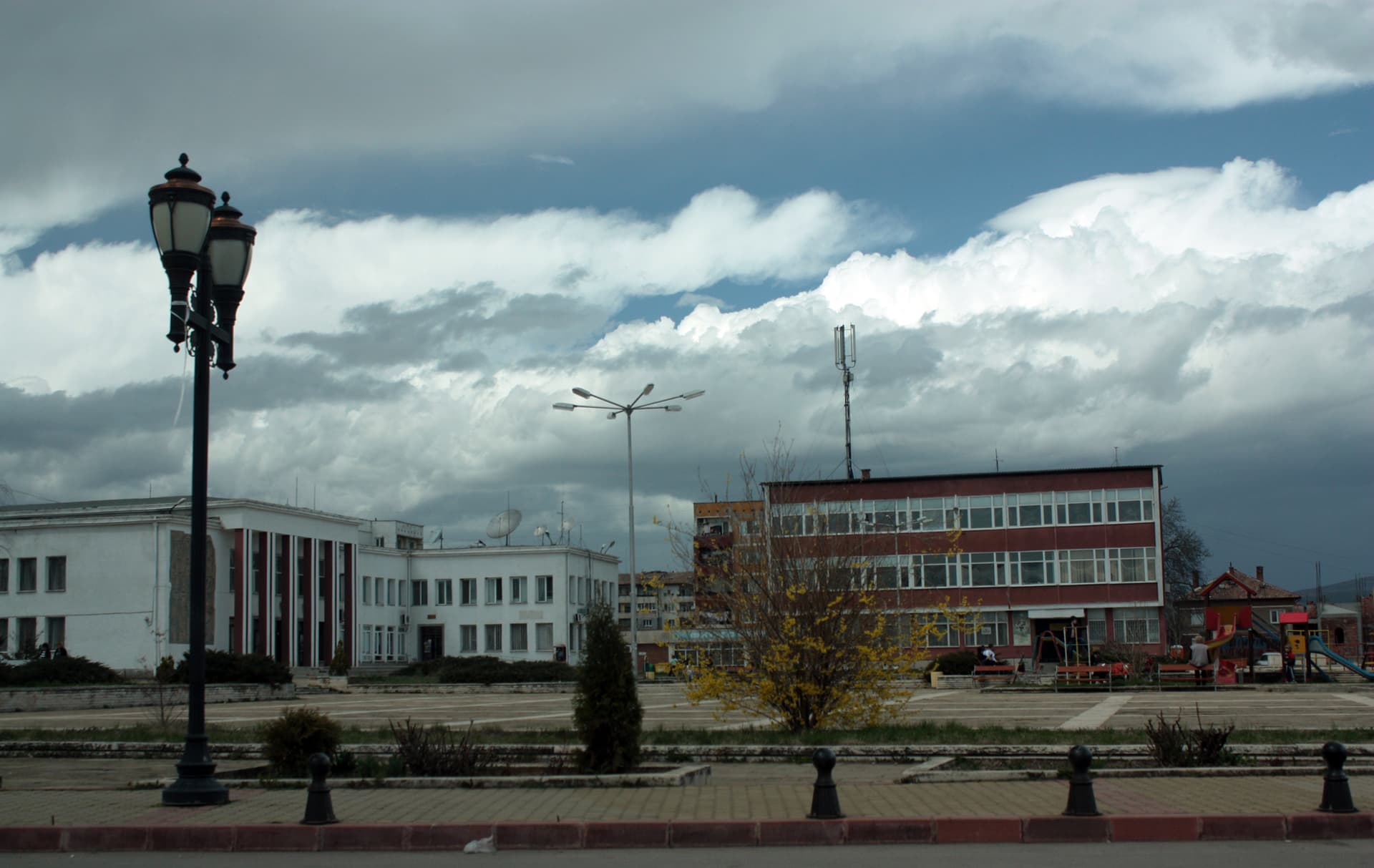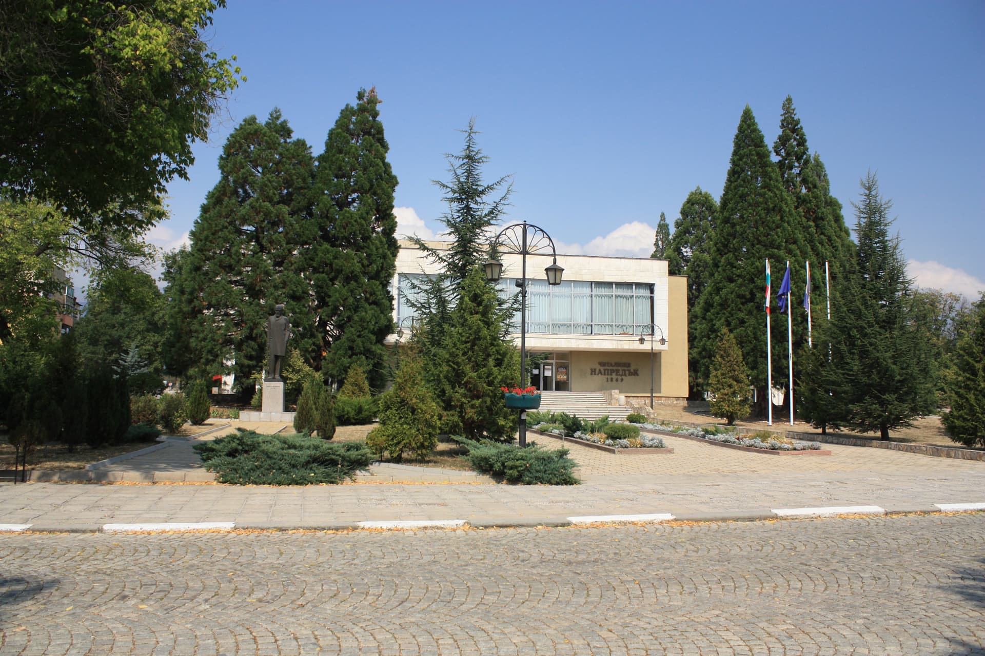
Pirdop is a town in Sofia Province, at 696 m in the middle of the Zlatitsa–Pirdop basin. It has about 6,200 inhabitants (NSI, end of 2025) and is the seat of Pirdop municipality. It lies on the sub-Balkan road, about 70 km east of Sofia and 52 km west of Karlovo, with the Zlatitsa–Teteven section of the Balkan range to the north and Sredna Gora to the south. The largest employer is the Aurubis Bulgaria copper plant.
The Monastery of St Elijah was a centre of writing, and the 12th-century Pirdop Apostle was probably copied there. Pirdop is mentioned in an Ottoman document of 1430 as Purotobabinche. In 1698 the local teacher Georgi compiled the Protopopinski and Tihomirov damaskins. In the 17th–18th centuries the town was a major wool-working centre, with hundreds of braid, homespun and carpet workshops. The Napredak community centre was founded in 1869, and the town was liberated on 21 December 1877.
Pirdop is a starting point for the Paskal, Momina Polyana, Artyovitsa and Mali Izvor huts in the Balkan range.
By car from Sofia it is about 80 km, roughly 1 h 15 min. Pirdop station is on the Sofia–Karlovo–Burgas railway.
Koprivshtitsa on the far side of Sredna Gora, the Boatin reserve in the Central Balkan, and the trail from Chelopech to Murgana hut.

Sofia region
8.0 km away
Sofia region
9.4 km away
Sofia region
9.7 km away
Lovech region
9.9 km away
Pirdop is located in Sofia Province, Bulgaria.
Pirdop is most easily reached by car. Use the coordinates above to navigate, or open the location in OpenStreetMap or your preferred maps app for turn-by-turn directions. Public transport options vary by region — for remote destinations a rental car gives the most flexibility.
Pirdop can be visited year-round, but late spring (May–June) and early autumn (September–October) offer the most pleasant weather and fewer tourists. Summer is the busiest season; winter is the quietest, with shorter daylight and possible cold weather.
Bulgarian settlements typically reward unhurried walking — historic centres, churches and monasteries, local markets, and family-run restaurants serving regional dishes. Larger towns often have museums and seasonal cultural events. The local tourist information centre is a good first stop for current opening hours and what's on.