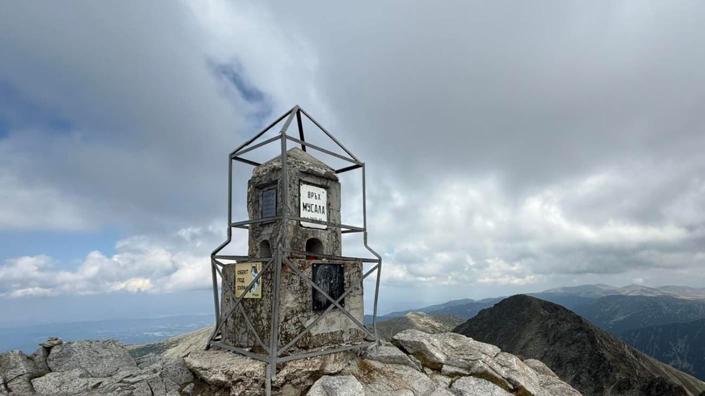
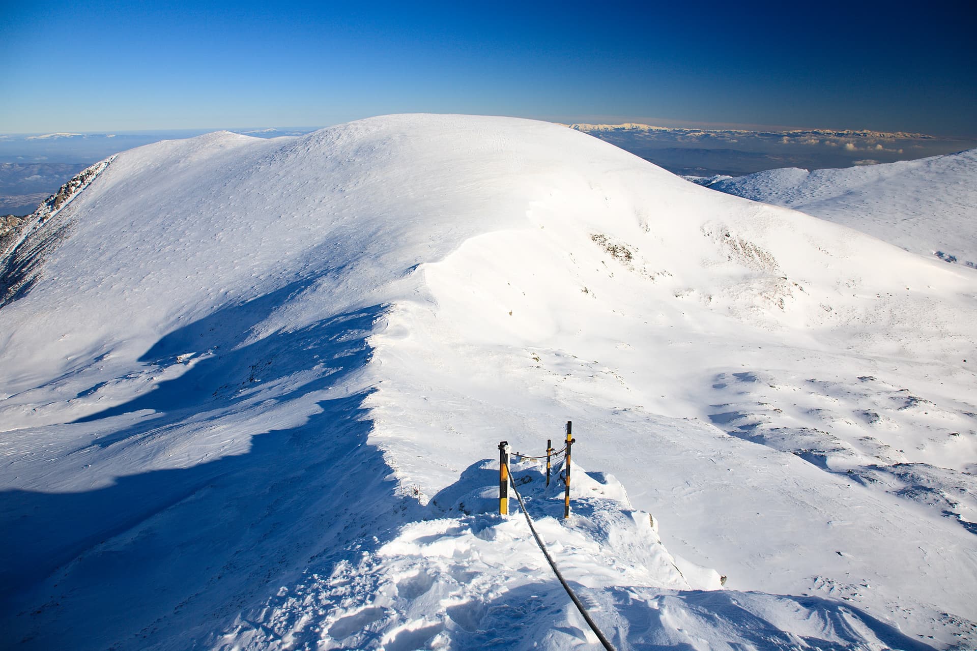
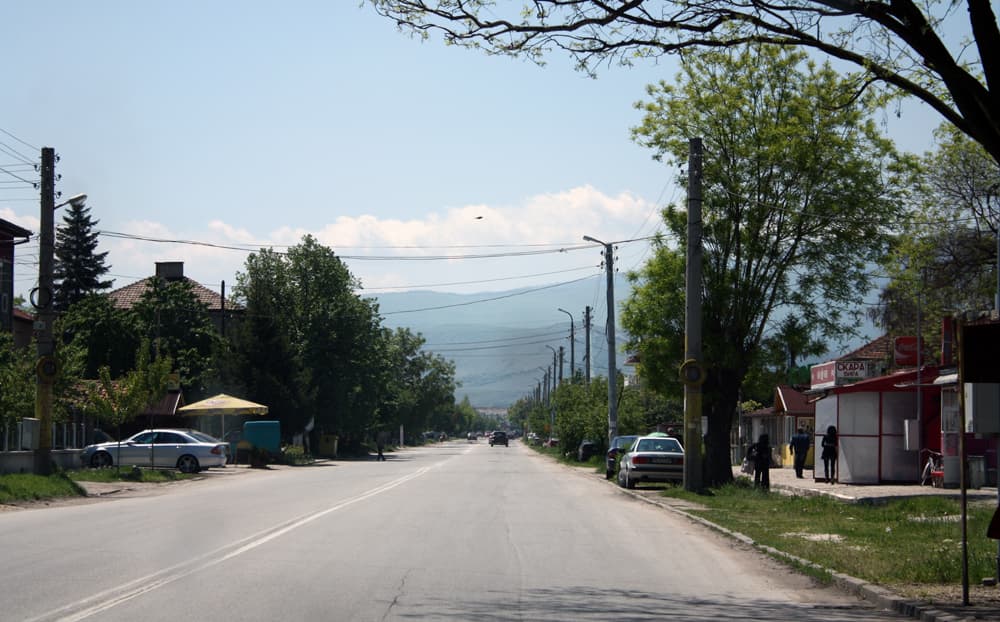
Forget the urban hustle and bustle and immerse yourself in the tranquility of Plana Mountain, where the majestic peak of Chemerikata awaits you. Located in the Sofia region, this beautiful mountainous haven offers unforgettable experiences for nature lovers and hikers alike. Chemerikata, standing at 1362 meters above sea level, is one of the symbols of Plana Mountain. The trails leading to the summit are well-marked and offer various routes, suitable for both beginners and more experienced mountaineers. Starting points can include surrounding villages such as Plana or Zheleznitsa, from where a picturesque journey through ancient forests and open meadows awaits you. During the ascent, you'll be enchanted by the lush vegetation – centuries-old beech and pine forests, dotted with meadows where wildflowers bloom in spring and summer. The "chemerika" (Veratrum album), which gives the peak its name, can be spotted in damper areas. The fauna is also rich – deer and wild boars are often seen, and birds of prey soar high above. From the summit, breathtaking panoramic views unfold. To the north lies Vitosha Mountain, to the east – Ihtimanska Sredna Gora, and to the south – the Rila Mountains with their majestic peaks. This is an ideal spot for a picnic, to savor the silence and refresh your senses with crisp mountain air. A visit to Chemerikata is a perfect day trip from Sofia, offering a quick escape from city noise and an opportunity to connect with the wild beauty of Bulgarian nature. Don't forget your camera – the views are more than worthy of capturing!

Sofia Province
0.9 km away
Lovech
1.4 km away

Lovech
3.6 km away
Sofia Province
4.3 km away
Chemerikata is located in Sofia Province, Bulgaria.
Chemerikata is most easily reached by car. Use the coordinates above to navigate, or open the location in OpenStreetMap or your preferred maps app for turn-by-turn directions. Public transport options vary by region — for remote destinations a rental car gives the most flexibility.
Late spring through early autumn (May–September) is best for Chemerikata, when trails are clear of snow and weather is most stable. Higher peaks may hold snow into June and see fresh snow as early as October. Winter visits are for experienced mountaineers with proper gear.
Chemerikata reaches an elevation of 2,035 metres above sea level.
Hiking boots, layered clothing, water (1.5–2 L per person), sun protection, and a windproof jacket — mountain weather changes quickly. For longer routes also bring a map (paper or offline), a head torch, and emergency rations. Tell someone your planned route and expected return time.