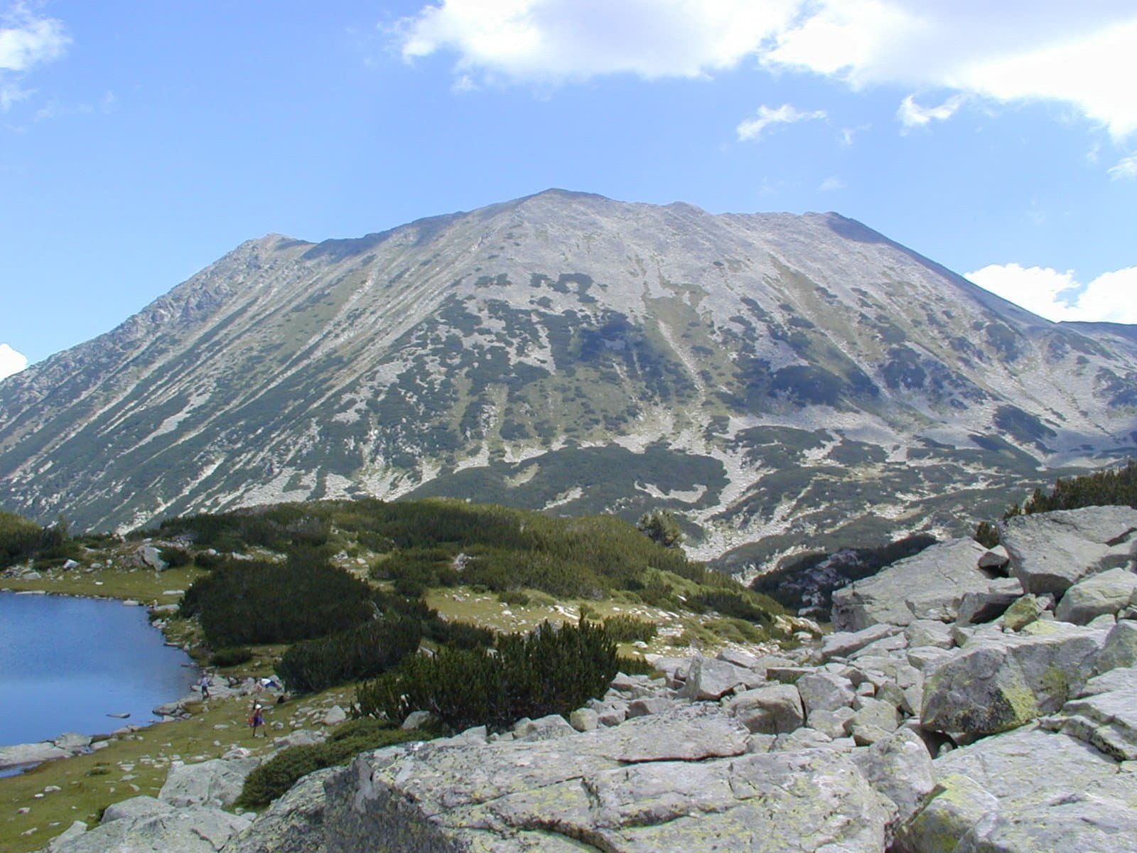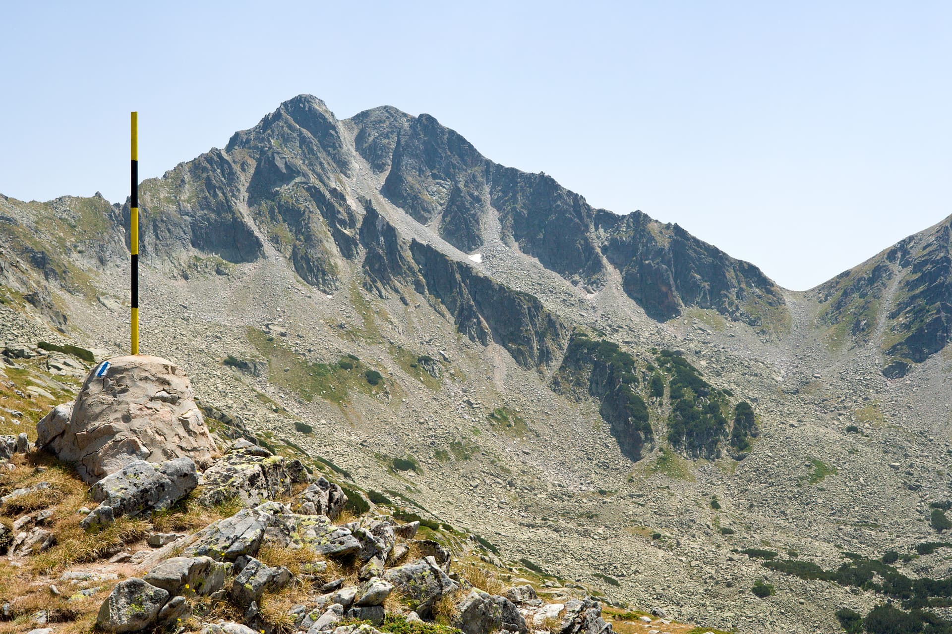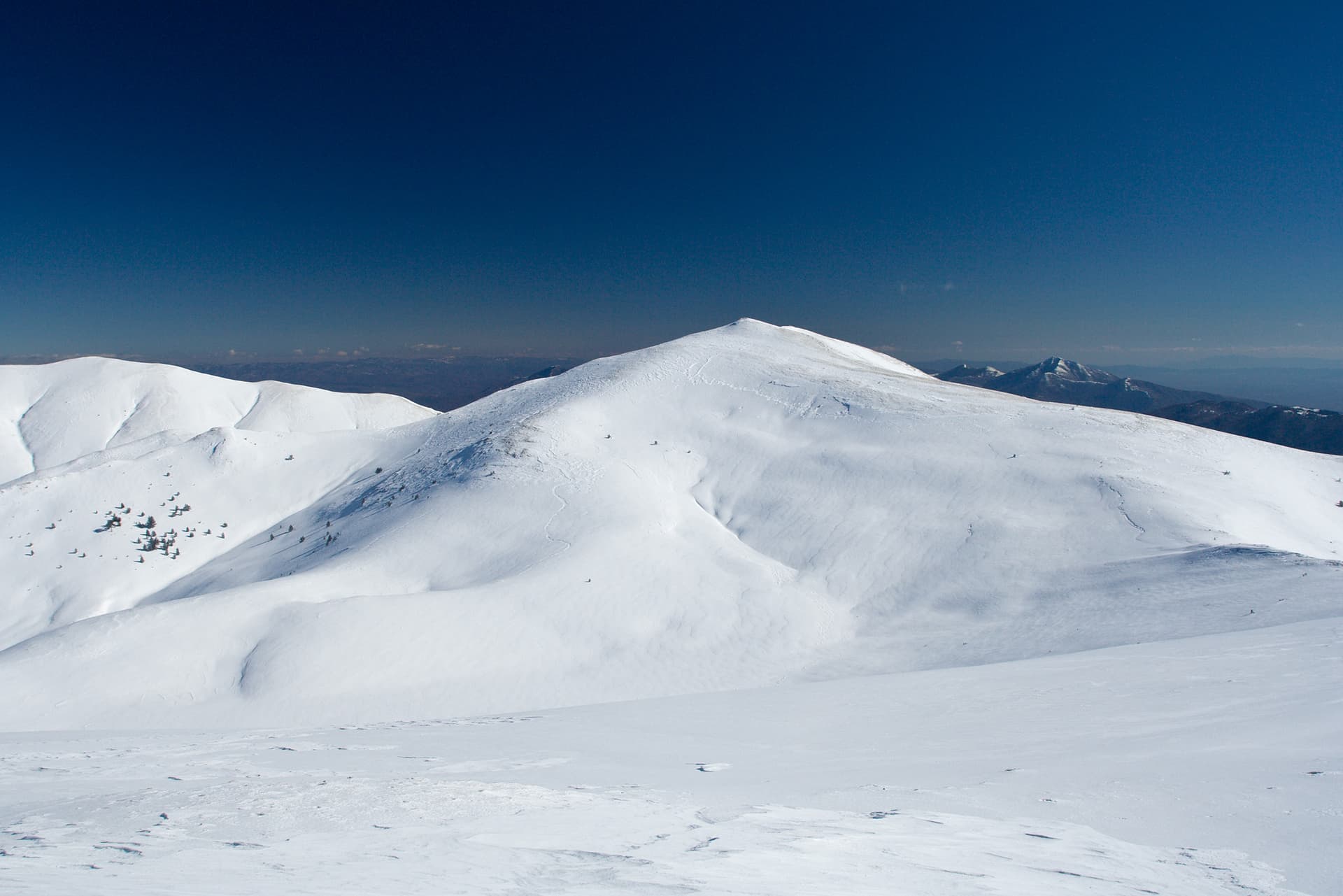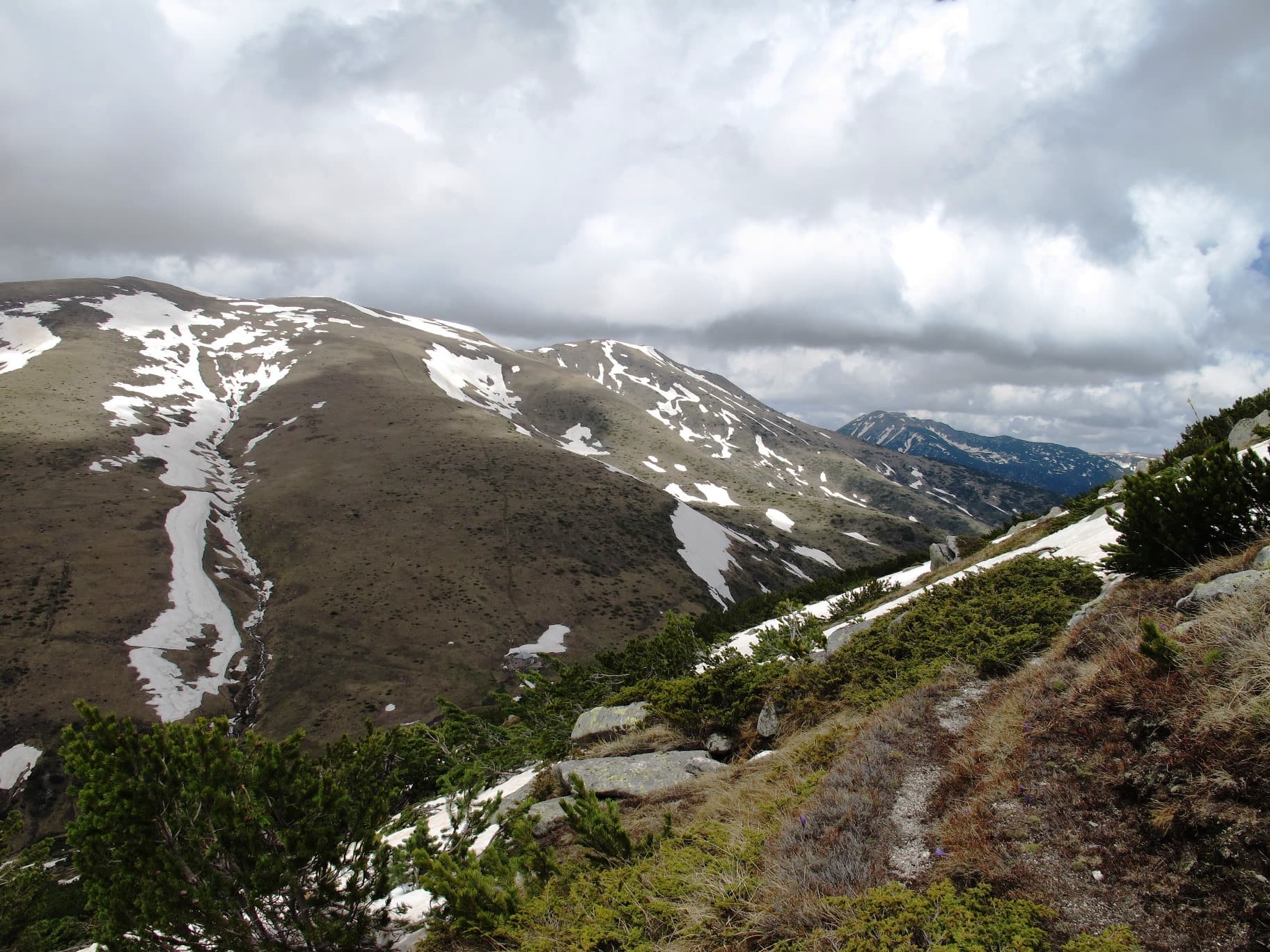
Parangalitsa (2,420 m) is a peak in south-western Rila, above the reserve of the same name. It lies on the ridge route that runs from the upper station of the Kartala resort near Blagoevgrad over the peaks of Ismailitsa, Rusaliya, Parangalitsa and Ezernik.
The Parangalitsa reserve was declared in 1933 and is the second-oldest in Bulgaria. The name comes from Greek and means "forbidden place". Today it covers about 1,487 ha and protects old spruce and spruce-and-Macedonian-pine forest at 1,750–2,000 m. In 1977 it was added to UNESCO's Man and the Biosphere programme, and in 2020 it was removed from it. Above 2,000 m the forest gives way to dwarf pine and then pasture.
The reserve itself is strictly protected, and you may enter it only on marked paths. The ridge route to the summit runs above the forest and is exposed, with no water. The season is July to September.

Blagoevgrad region
1.6 km away
Blagoevgrad region
1.8 km away
Blagoevgrad region
3.1 km away
Parangalitsa is located in Blagoevgrad, Bulgaria.
Parangalitsa is most easily reached by car. Use the coordinates above to navigate, or open the location in OpenStreetMap or your preferred maps app for turn-by-turn directions. Public transport options vary by region — for remote destinations a rental car gives the most flexibility.
Late spring through early autumn (May–September) is best for Parangalitsa, when trails are clear of snow and weather is most stable. Higher peaks may hold snow into June and see fresh snow as early as October. Winter visits are for experienced mountaineers with proper gear.
Parangalitsa reaches an elevation of 2,420 metres above sea level.
Hiking boots, layered clothing, water (1.5–2 L per person), sun protection, and a windproof jacket — mountain weather changes quickly. For longer routes also bring a map (paper or offline), a head torch, and emergency rations. Tell someone your planned route and expected return time.