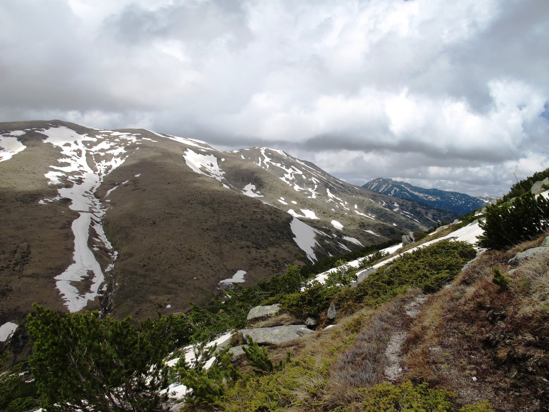
Parangalitsa is one of Bulgaria's oldest nature reserves, created in July 1933 on the south-western slopes of Rila. It protects about 1,487 hectares between 1,480 and 2,485 m above sea level, and in 1977 it was among the first Bulgarian sites declared a UNESCO biosphere reserve.
It was protected for its old-growth forest of Norway spruce and, higher up, Macedonian pine. Many of the trees are 150 to 350 years old, and some of the spruces reach 62 m. Brown bear, grey wolf, golden eagle and capercaillie all live in the reserve.
Parangalitsa is a strict reserve: you may only pass through it on the marked trails, and nothing may be picked or disturbed. It lies in Blagoevgrad Municipality, and the nearest towns are Razlog and Belitsa. There are no facilities inside, so plan it as a full Rila mountain day, with water, food and clothing for a change in the weather.
Blagoevgrad region
1.6 km away

Blagoevgrad region
3.4 km away
Blagoevgrad region
3.5 km away
Parangalitsa Reserve is located in Blagoevgrad, Bulgaria.
Parangalitsa Reserve is most easily reached by car. Use the coordinates above to navigate, or open the location in OpenStreetMap or your preferred maps app for turn-by-turn directions. Public transport options vary by region — for remote destinations a rental car gives the most flexibility.
Parangalitsa Reserve is best walked from May through October, when the trail is clear of snow and weather is generally stable. Summer middays can be hot at lower altitudes — start early. Winter walking requires proper gear and route knowledge.
Suitability depends on the specific route. Bulgarian trails range from paved family-friendly paths to multi-day high-mountain crossings. Check the length, elevation gain, and surface before setting off. Sturdy footwear, water, and a basic map (offline or paper) are essential even on short walks.


