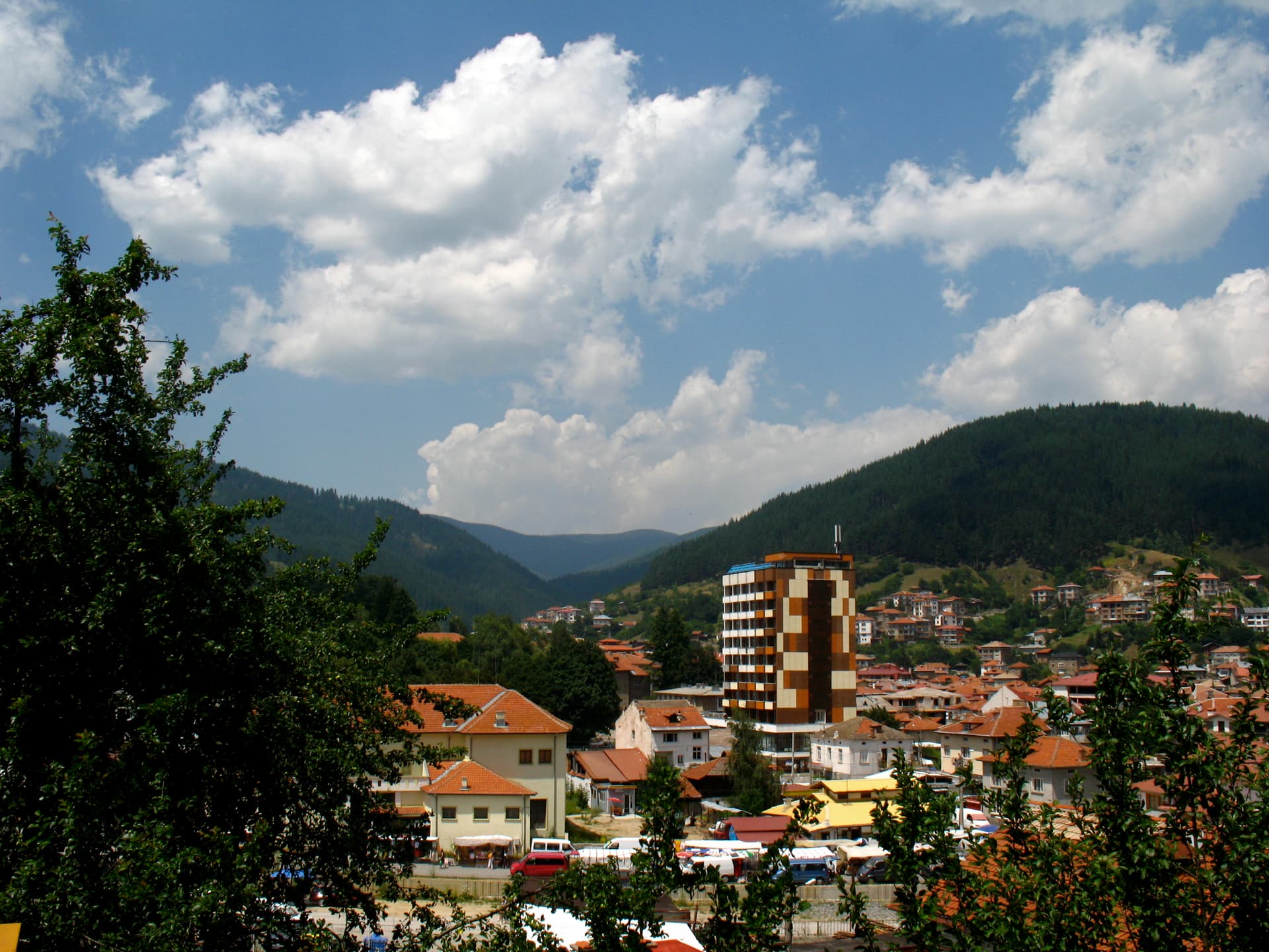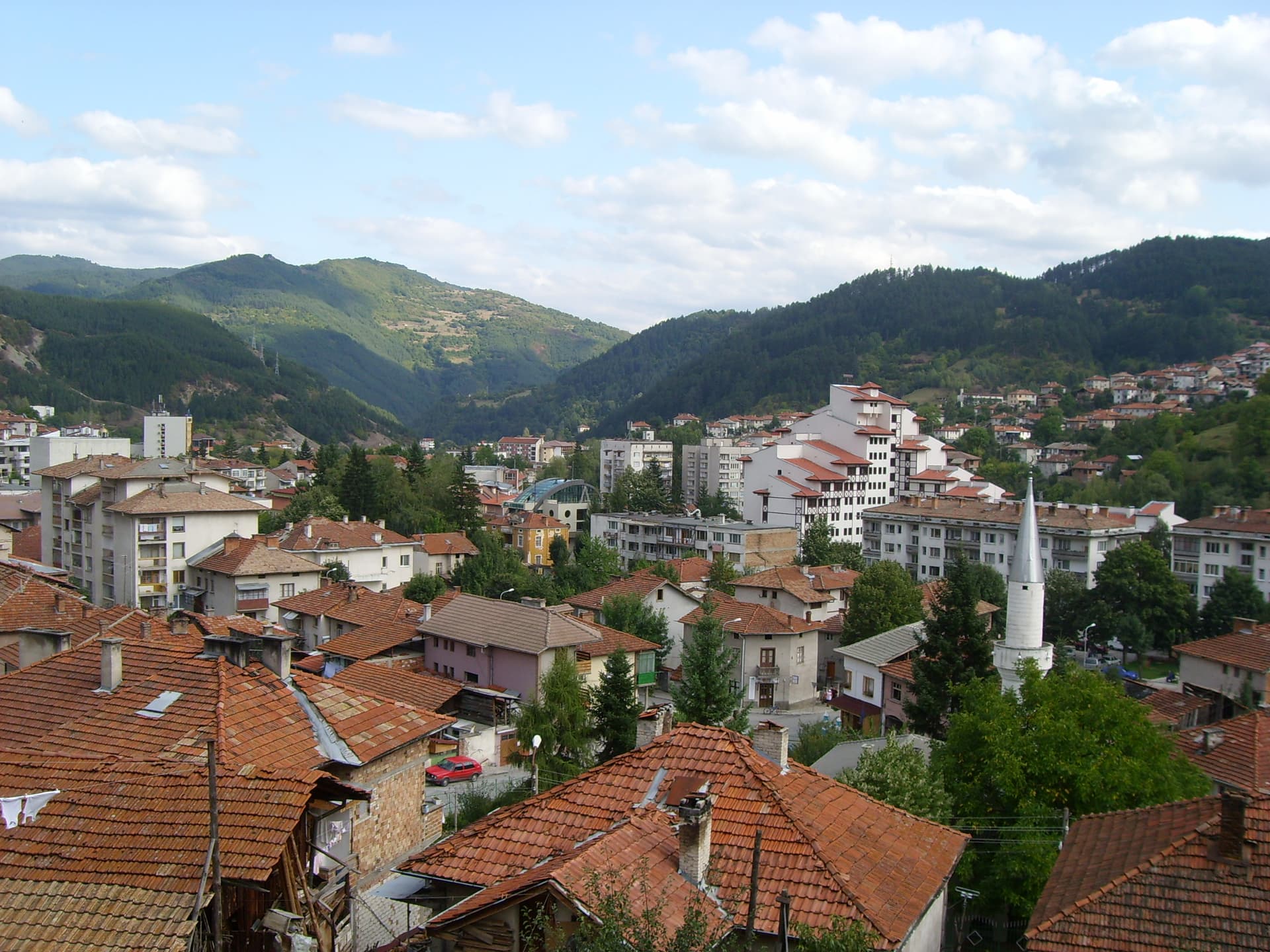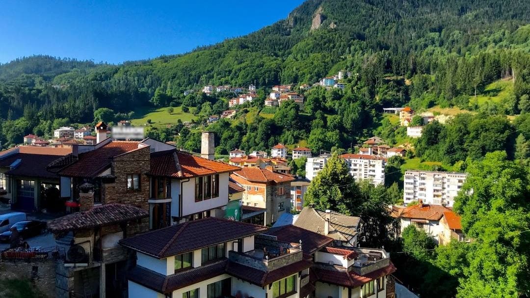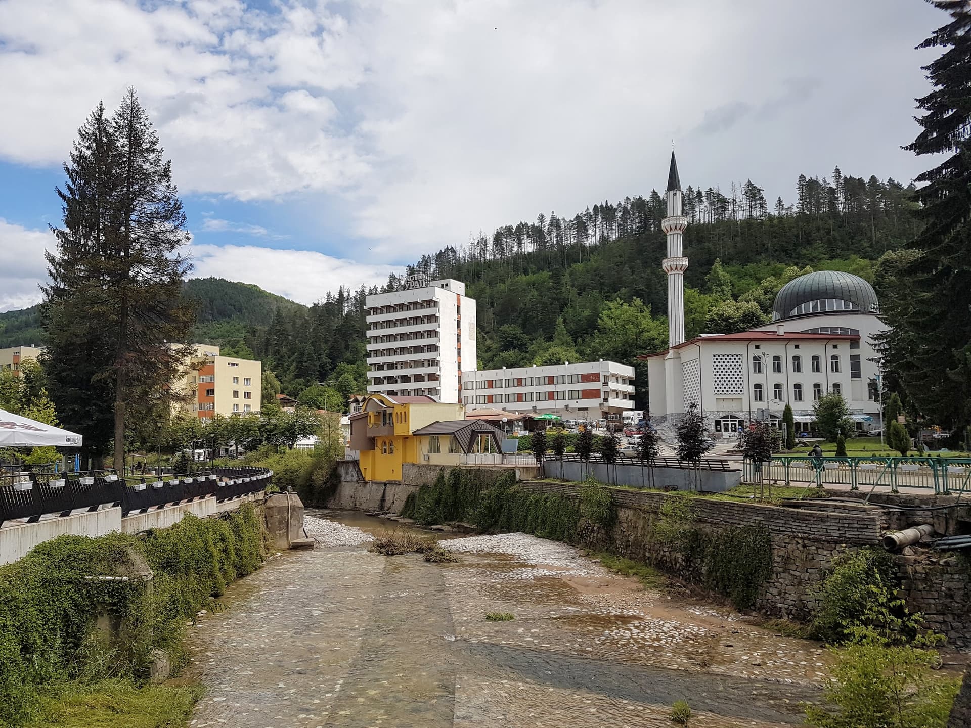
Madan is a town in Smolyan province, in the south-east of the Western Rhodopes, on the Madanska river. It lies about 30 km from Smolyan and 120 km south of Plovdiv, and has about 4,600 residents. The name comes from the Turkish-Arabic word maden, meaning ore or mine, and that says the main thing about the place: Madan is a mining town.
Lead ore has been mined here since the 5th–4th century BC, by the Thracian Koilaletai tribe. Medieval mining tools have also been found in the old galleries. In the 20th century the mines were worked by Gorubso, the Bulgarian-Soviet mining company, and Madan grew from a village into a town around it (it became a town in 1953).
Uhlovitsa cave is in the neighbouring Smolyan municipality, 3 km from the village of Mogilitsa.
Madan Day and Miners' Day are celebrated on the last Sunday of August, and the Madan Crystal Days have been held since 2023. Museum opening hours change by season, so check with the municipality before you go.

Smolyan region
0.0 km away
Smolyan region
2.1 km away
Smolyan region
5.9 km away
Madan is located in Smolyan, Bulgaria.
Madan is most easily reached by car. Use the coordinates above to navigate, or open the location in OpenStreetMap or your preferred maps app for turn-by-turn directions. Public transport options vary by region — for remote destinations a rental car gives the most flexibility.
Madan can be visited year-round, but late spring (May–June) and early autumn (September–October) offer the most pleasant weather and fewer tourists. Summer is the busiest season; winter is the quietest, with shorter daylight and possible cold weather.
Bulgarian settlements typically reward unhurried walking — historic centres, churches and monasteries, local markets, and family-run restaurants serving regional dishes. Larger towns often have museums and seasonal cultural events. The local tourist information centre is a good first stop for current opening hours and what's on.