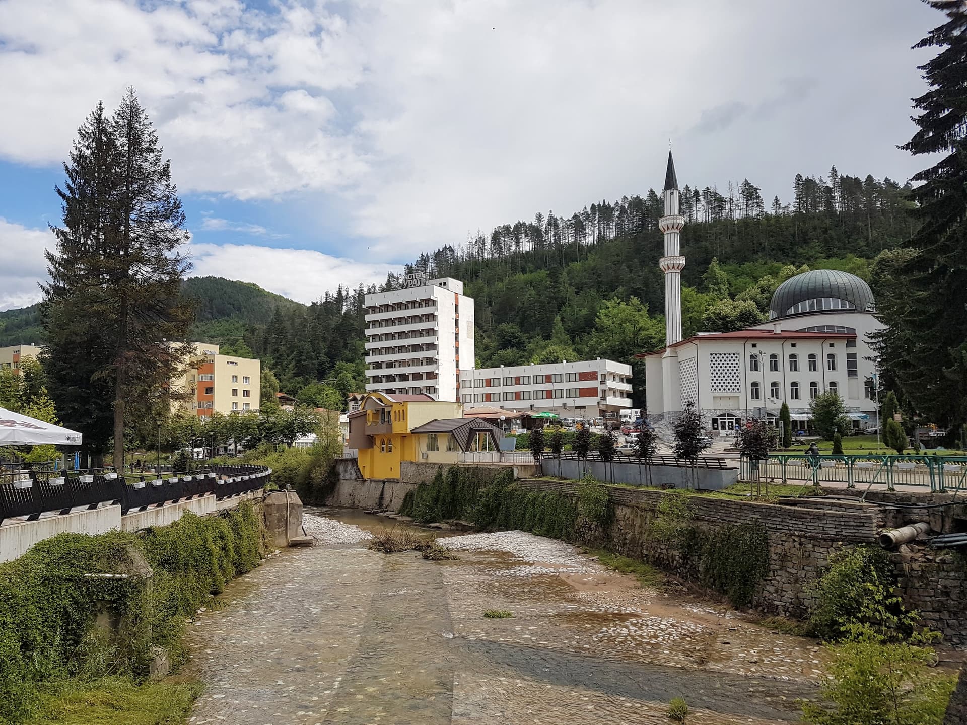
The Kechi Kaya – Koznik eco-trail is one of the most exciting hiking routes in the Western Rhodopes. It combines the mystery of the medieval Koznik fortress (also known as Kechi Kaya – "Goat Rock") with bizarre rock formations. Although short, the trail is intensive and offers some of the most spectacular panoramic views in the Rudozem region. Logistics and Access - Location: 5 km from the town of Rudozem and 2 km from the village of Ribnitsa. - The Road: Take a sharp left turn from the main road. Follow 3 km of asphalt and 2 km of dirt road. - Parking: There is a parking lot shortly after the turn. If you do not have an off-road vehicle (4x4), it is highly recommended to park there and walk the remaining distance to the trailhead. - Trailhead: Equipped with a parking area, BBQ spot, water fountain, and toilets. Look for the wooden sign and the green markings. Key Landmarks Along the Way The trail is approximately 4.3 km long (circular route) and passes through dense forest and several scenic terraces: - "The Two Brothers" Rock Formation: An impressive natural rock sculpture with a nearby resting area. - Koznik Fortress: A medieval stronghold perched on inaccessible cliffs, offering a vast view of the Rhodope Mountains. - "The Head" Rock Formation: Located in the northeastern part of the loop, just before the trail starts descending back to the start. Essential Traveler Tips - Difficulty: The hike is not long (about 1 - 1.5 hours for the full loop) but is quite steep. Be prepared for a strenuous climb at the beginning. - Water: There is a fountain only at the very start of the trail. Make sure to carry enough water with you. - Navigation: There are many small diverging paths in the woods that can be confusing. Follow the green markings strictly. - Shade: The route is mostly shaded, making it a perfect choice even during the warmer summer days.

Smolyan
2.7 km away

Smolyan
3.8 km away
Smolyan
5.9 km away
Smolyan
5.9 km away
Kechi Kaya - Koznik is located in Smolyan, Bulgaria.
Kechi Kaya - Koznik is most easily reached by car. Use the coordinates above to navigate, or open the location in OpenStreetMap or your preferred maps app for turn-by-turn directions. Public transport options vary by region — for remote destinations a rental car gives the most flexibility.
Kechi Kaya - Koznik is best walked from May through October, when the trail is clear of snow and weather is generally stable. Summer middays can be hot at lower altitudes — start early. Winter walking requires proper gear and route knowledge.
Suitability depends on the specific route. Bulgarian trails range from paved family-friendly paths to multi-day high-mountain crossings. Check the length, elevation gain, and surface before setting off. Sturdy footwear, water, and a basic map (offline or paper) are essential even on short walks.