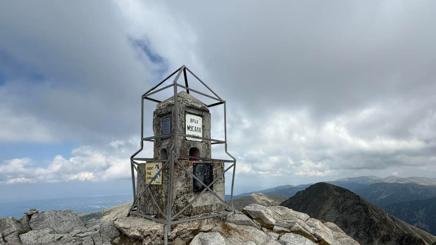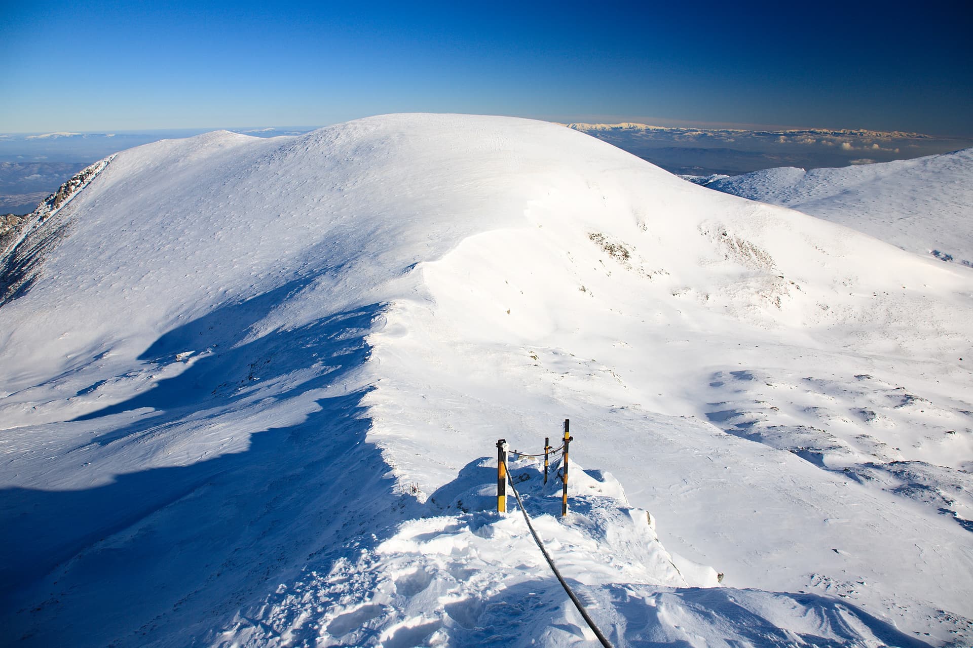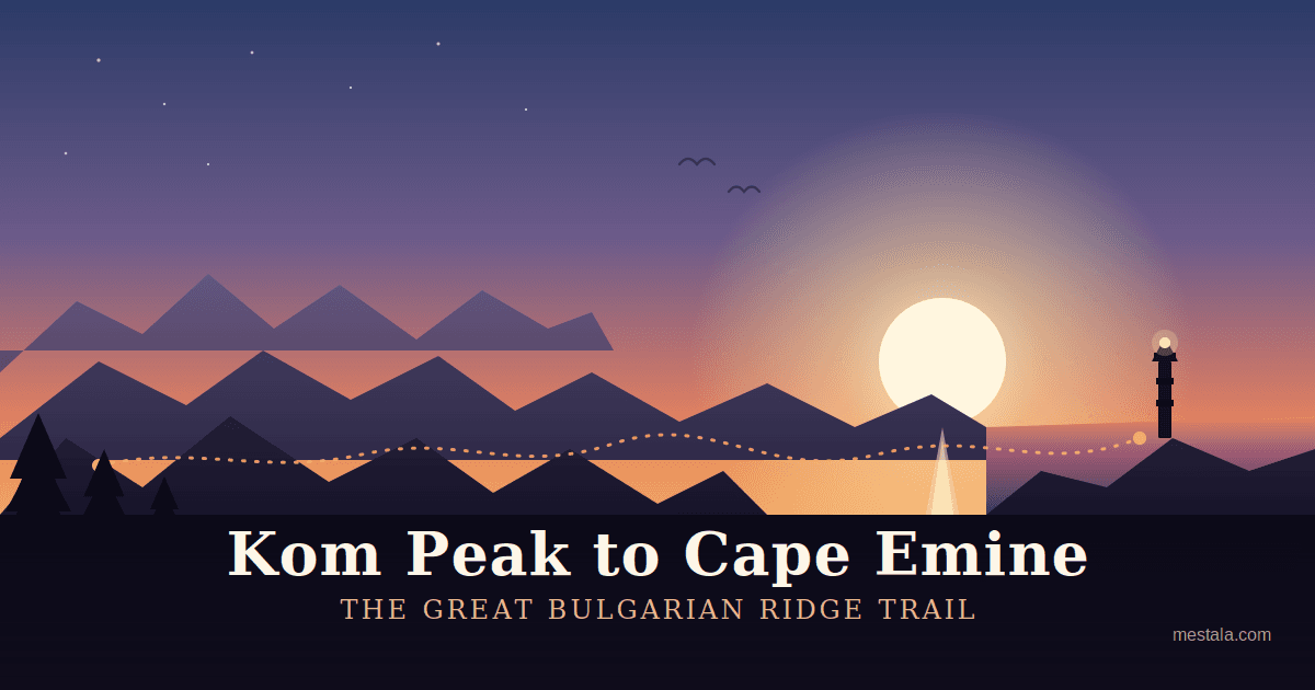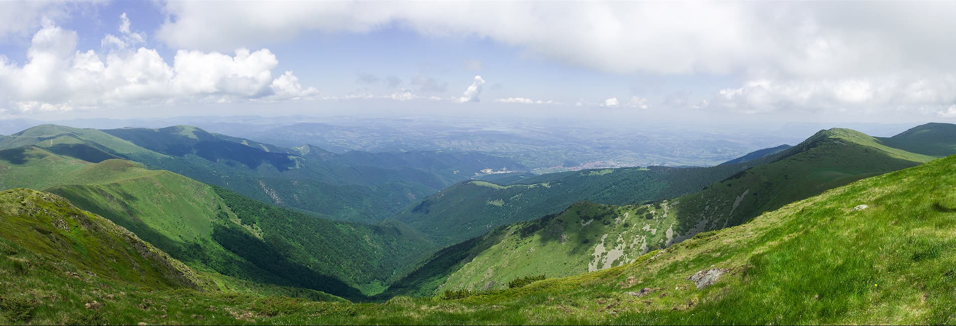
Mount Kom (historically known as Golyam Kom) is the highest and most majestic peak of the Berkovitsa Mountain, a sub-range of the Western Balkan Mountains (Stara Planina) in Bulgaria. Rising to an impressive altitude of 2015.8 meters above sea level, the peak is situated directly south of the town of Berkovitsa. Together with its lower neighboring peaks to the east, Sredен Kom and Malak Kom, it forms a prominent mountain ridge stretching from west to east. The topography of Kom is defined by a rounded, grassy ridge line, combined with a steep, rocky northern slope and a gentle, grassy southern slope. The most spectacular panoramic view opens up to the north of the peak. Standing at the summit, visitors can enjoy clear views of the town of Berkovitsa, the entire Berkovitsa Valley, as well as the city of Montana and the massive Ogosta Reservoir located some 30 kilometers away. Mountain Tourism and Landmarks Mount Kom is officially listed among the 100 National Tourist Sites of the Bulgarian Tourist Union. The official tourist stamp for the site is kept and can be obtained at the Kom-Nova mountain hut. Near the highest point of the summit, a stone monument featuring a bas-relief of the famous Bulgarian writer Ivan Vazov has been erected. The breathtaking panorama inspired Vazov to write his renowned poem On Kom (Na Kom), and selected verses from it are engraved directly onto the stone plate. Every year, the peak also serves as the starting point for a popular annual off-road race. The Kom Emine Trail Mount Kom is famous worldwide among hikers as the official starting point of the Kom Emine trail, the longest and most iconic high-ridge pedestrian route in Bulgaria. This trail represents the final section of the trans-European E3 European long-distance path, traversing the entire main ridge of the Balkan Mountains all the way to Cape Emine on the Black Sea coast. Main Starting Points and Hiking Routes: From Kom Mountain Hut (The New Hut) This is the most popular and classic route to the summit. The new Kom hut is located on the northern slope of Malak Kom Peak. It can be reached from the town of Berkovitsa via a 15 km asphalt road (or a 3.5-hour hike along a marked trail). - Duration to the summit: Approximately 2 hours. - Trail Markings: The route is excellently marked with winter marker poles. It passes through the scenic saddle between the peaks of Malak Kom and Sreden Kom, then heads west along the gentle ridge straight to the summit. From the Petrohan Pass This route is part of the official Kom Emine track and follows the red trail markings. - Duration to the summit: Approximately 3.5 hours. - Description: The trail initially follows the road connecting Petrohan with Kom Hut, passing through pristine beech forests and mountain meadows. On the eastern slope of Malak Kom, the hiking trail branches off the dirt road, bypasses the peak from the south, and merges into the main ridge trail. From the Village of Komshtitsa An ideal option for hikers looking for a quieter, more secluded wilderness experience. - Duration to the summit: Approximately 3 hours. - Description: From the village, follow the dirt roads heading northeast until you reach the southern slope of Mount Kom. From there, the final ascent to the summit is done from the south without a designated path, scrambling through terrain covered with scattered juniper bushes. From the Village of Gintsi An alternative and highly scenic southern approach to the ridge. - Duration to the summit: Approximately 3 hours. - Description: Head northwest along a gravel road toward the Malina mountain hut (just north of the Etropole area). Once at the hut, turn north onto a dirt road that leads directly to the southern grassy slopes of the Kom ridge, offering an easy climb up to the summit.

Sofia Province
0.8 km away
Montana
2.0 km away
Montana
2.5 km away
Montana
2.9 km away
Kom is located in Sofia Province, Bulgaria.
Kom is most easily reached by car. Use the coordinates above to navigate, or open the location in OpenStreetMap or your preferred maps app for turn-by-turn directions. Public transport options vary by region — for remote destinations a rental car gives the most flexibility.
Late spring through early autumn (May–September) is best for Kom, when trails are clear of snow and weather is most stable. Higher peaks may hold snow into June and see fresh snow as early as October. Winter visits are for experienced mountaineers with proper gear.
Kom reaches an elevation of 2,015 metres above sea level.
Hiking boots, layered clothing, water (1.5–2 L per person), sun protection, and a windproof jacket — mountain weather changes quickly. For longer routes also bring a map (paper or offline), a head torch, and emergency rations. Tell someone your planned route and expected return time.