Kongur Hut (1284 m alt.) is situated in the eastern part of the Belasitsa Mountains, in the "Charshii" area. Built on the site of a former border outpost, it now serves as a key starting point for exploring the unique mountain ridge that defines Bulgaria's southern border. The hut offers expansive views over the Petrich Valley and the surrounding mountain ranges. Accommodation and Amenities The hut complex consists of two electrified and water-supplied buildings: - Main Building: A two-story structure accommodating 29 people (rooms with 2, 3, 4, and 8 beds). It features a dining hall/restaurant and restrooms on the ground floor. Heating is provided by wood-burning stoves. - Annex Building: Offers more secluded accommodation with 14 beds (rooms with 1, 2, and 4 beds) and an indoor bathroom. Access The hut is accessible via a 16 km road from the town of Petrich: - By Car: Most of the road is paved, with the final 5 km consisting of a well-maintained dirt track (high-clearance vehicles are recommended). - Alternative Route: Via the "Varshilo" area, reducing the final stretch to approximately 8 km. Key Hiking Routes Kongur Hut is the primary hub for long-distance trekking along the Belasitsa ridge: - Kongur Peak (1951 m): Rising south of the hut, it is the peak after which the lodge is named. - Trek to Tumba Peak (8:00 hours): An iconic hike to the tri-border point where Bulgaria, Greece, and North Macedonia meet. The route follows the sub-ridge road westward for about 20km, passing through the Demir Kapia saddle and Lozen Peak. The trail is marked in red and runs alongside the border line to the historic Pyramid No. 1.

Blagoevgrad
5.8 km away
Blagoevgrad
8.9 km away
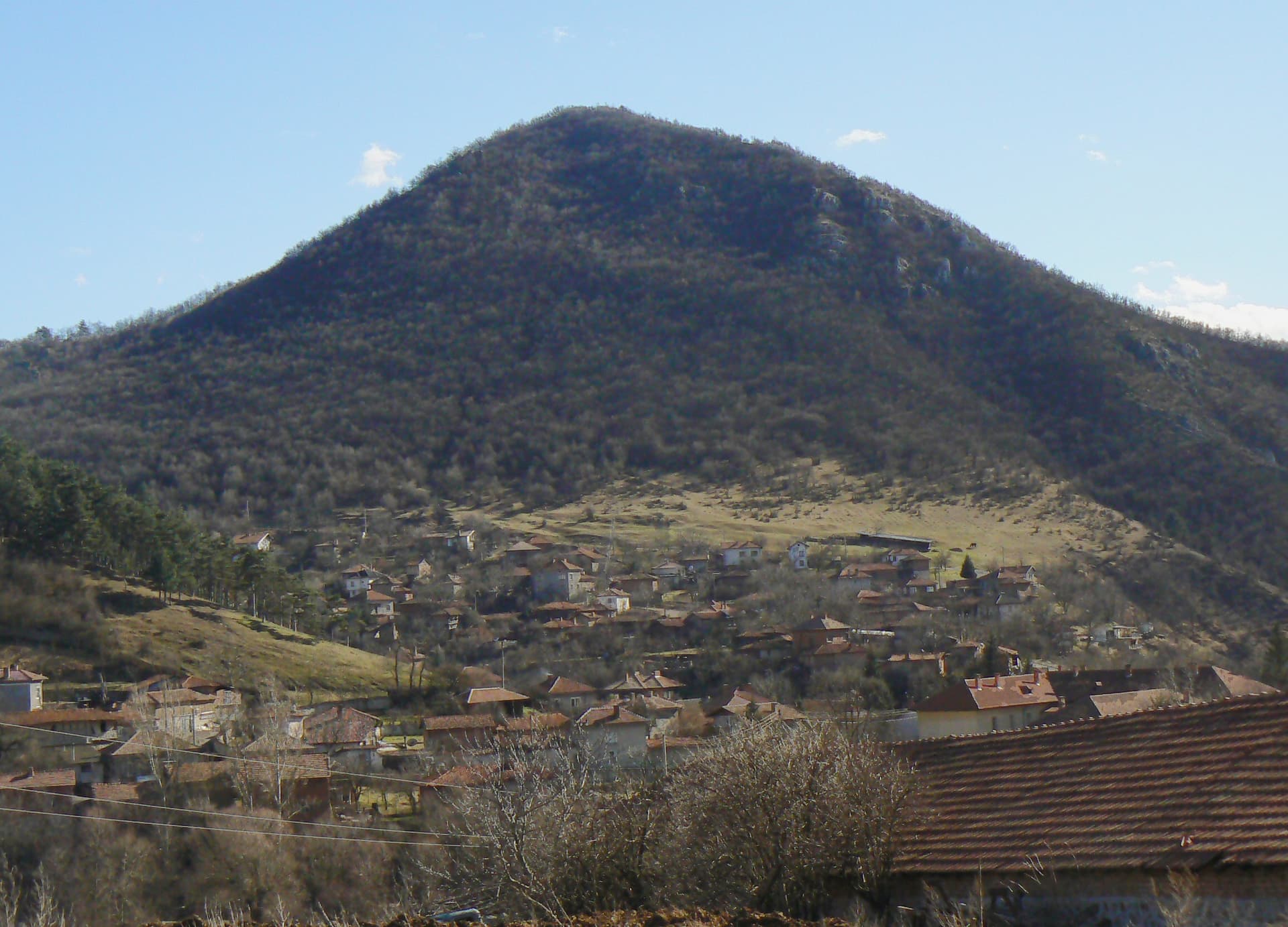
Blagoevgrad
9.1 km away
Blagoevgrad
11.8 km away
Hut Kongur - Tumba peak is located in Blagoevgrad, Bulgaria.
Hut Kongur - Tumba peak is most easily reached by car. Use the coordinates above to navigate, or open the location in OpenStreetMap or your preferred maps app for turn-by-turn directions. Public transport options vary by region — for remote destinations a rental car gives the most flexibility.
Hut Kongur - Tumba peak is best walked from May through October, when the trail is clear of snow and weather is generally stable. Summer middays can be hot at lower altitudes — start early. Winter walking requires proper gear and route knowledge.
Suitability depends on the specific route. Bulgarian trails range from paved family-friendly paths to multi-day high-mountain crossings. Check the length, elevation gain, and surface before setting off. Sturdy footwear, water, and a basic map (offline or paper) are essential even on short walks.