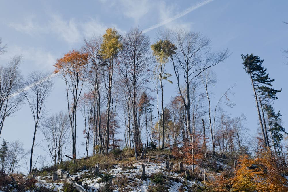
The route from the village of Zheleznitsa to Cherni Vrah (2,290 m) is widely considered the most picturesque ascent of Vitosha’s highest peak. While not technically difficult, it is a serious physical test, involving an elevation gain of nearly 1,300 meters. The effort is rewarded with breathtaking 360-degree views of the Rila, Plana, and Balkan mountains.
The first stage involves a steep climb through the forest, leading to the "Akademik" (Fizkulturnik) training base at the foot of Kupena Peak. This is the hardest part of the journey. From the base onwards, the incline becomes gentler as the path crosses the high alpine meadows of the Balkan Plateau. After skirting the peaks of Skoparnik and Karachair, a final easy climb brings you to the summit shelter.
Pro Tip: For a diverse experience, consider descending towards Aleko Hut or Zlatnite Mostovi, as both offer public transport links back to Sofia.

Sofia City
2.0 km away

Pernik
2.4 km away
Sofia City
2.5 km away
Sofia City
3.7 km away
Zheleznitsa - hut Kupena - Cherni Vrah is located in Sofia City, Bulgaria.
Zheleznitsa - hut Kupena - Cherni Vrah is most easily reached by car. Use the coordinates above to navigate, or open the location in OpenStreetMap or your preferred maps app for turn-by-turn directions. Public transport options vary by region — for remote destinations a rental car gives the most flexibility.
Zheleznitsa - hut Kupena - Cherni Vrah is best walked from May through October, when the trail is clear of snow and weather is generally stable. Summer middays can be hot at lower altitudes — start early. Winter walking requires proper gear and route knowledge.
Suitability depends on the specific route. Bulgarian trails range from paved family-friendly paths to multi-day high-mountain crossings. Check the length, elevation gain, and surface before setting off. Sturdy footwear, water, and a basic map (offline or paper) are essential even on short walks.