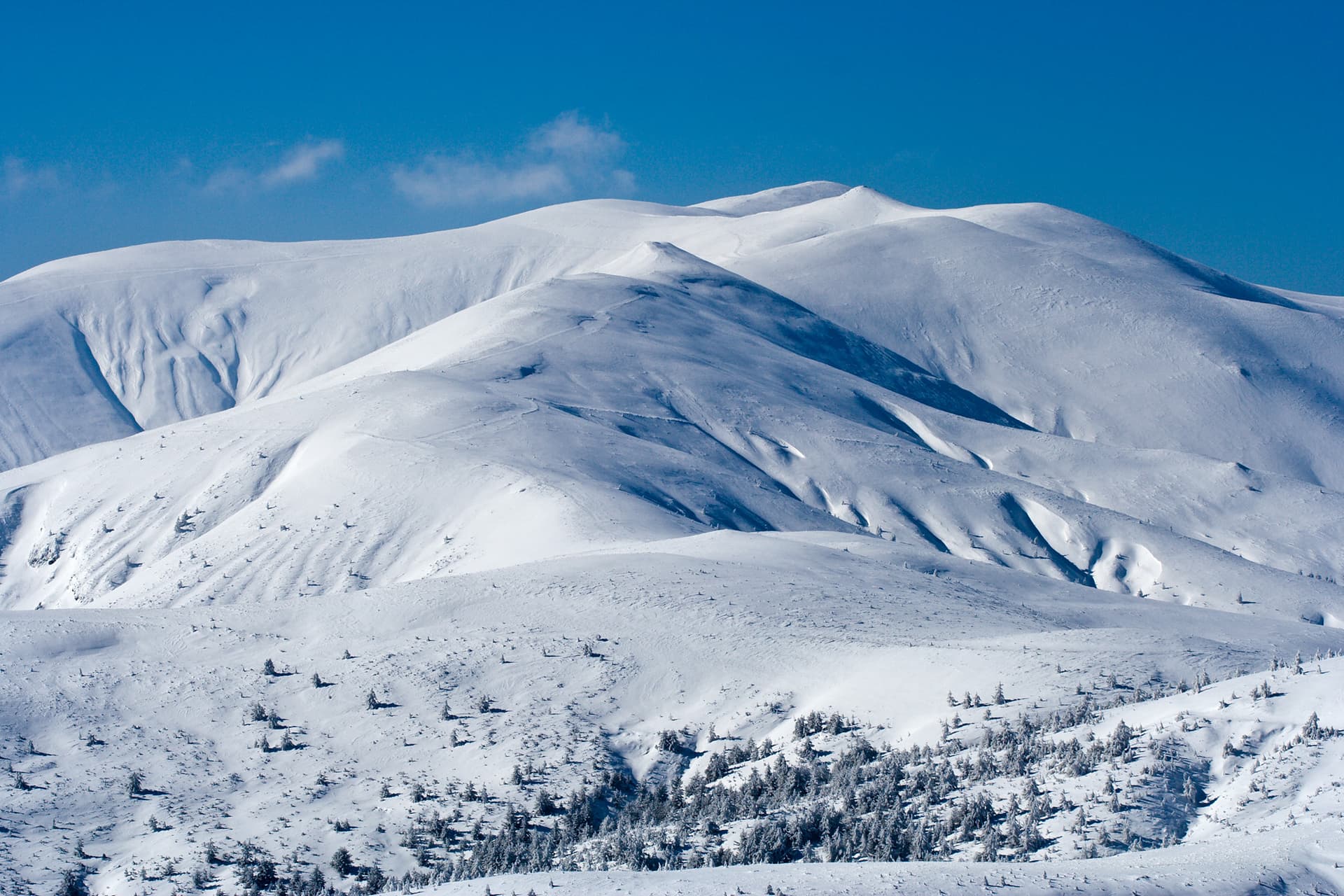
Zelenikovets Peak (1,681 m) is one of the most intriguing and botanically rich destinations in the eastern reaches of the "Central Balkan" National Park. Rising within a fascinating karst massif, the peak is a true treasure for enthusiasts of unique mountain flora and wild landscapes. It is a place where the water power of the Balkans is born from the rocks, marking the source of several significant regional rivers. Hydrology and Natural Wealth - Watershed of the North: Right below the peak, from the "Ustrikata" saddle to the east, springs the Mokra Byala River. - River System: The Sukha Byala River originates from the western ravine of the peak. Both rivers are essential tributaries flowing into the Rositsa River, which is one of the main feeders of the Yantra River. - The Southern Slope: The Taza River has its source on the southern slopes of Zelenikovets. Reserves and Gorges - Taza Gorge: The valley of the Taza River forms one of the most picturesque gorges in Bulgaria. - Dzhendema Reserve: The area around the Taza River and its gorge is part of the majestic "Dzhendema" Reserve—a symbol of the inaccessible wilderness in the Central Balkan Mountains. - Karst Terrain: The peak is defined by an interesting karst relief, providing a unique habitat for specific and exceptionally diverse vegetation.

Gabrovo
1.1 km away
Gabrovo
4.5 km away
Lovech
5.9 km away
Stara Zagora
6.0 km away
Zelenikovets is located in Gabrovo, Bulgaria.
Zelenikovets is most easily reached by car. Use the coordinates above to navigate, or open the location in OpenStreetMap or your preferred maps app for turn-by-turn directions. Public transport options vary by region — for remote destinations a rental car gives the most flexibility.
Late spring through early autumn (May–September) is best for Zelenikovets, when trails are clear of snow and weather is most stable. Higher peaks may hold snow into June and see fresh snow as early as October. Winter visits are for experienced mountaineers with proper gear.
Zelenikovets reaches an elevation of 1,683 metres above sea level.
Hiking boots, layered clothing, water (1.5–2 L per person), sun protection, and a windproof jacket — mountain weather changes quickly. For longer routes also bring a map (paper or offline), a head torch, and emergency rations. Tell someone your planned route and expected return time.