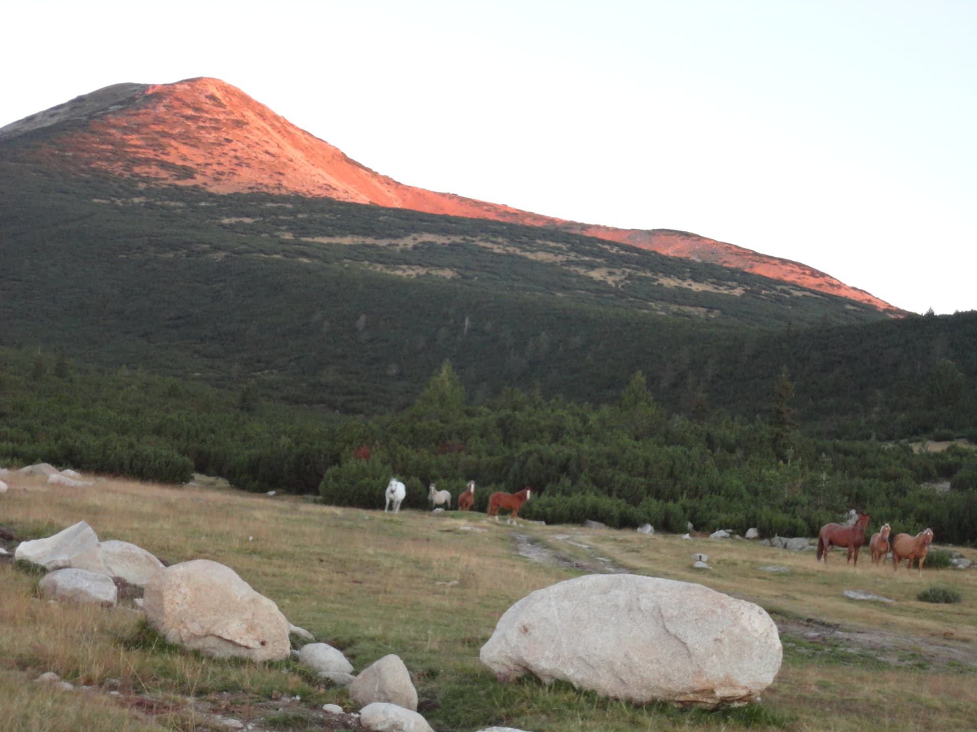
Granchar Hut (2,187 m) is a vital mountain hub in the Eastern Rila Mountains, beautifully situated on the shores of Lake Granchar. The route starting from the town of Yakoruda is one of the most accessible ways to reach the high-altitude heart of Rila, offering a pleasant journey through lush meadows and pine forests. Logistics and Car Access The journey begins in the town of Yakoruda: - Directions: In the eastern part of town, cross the railway tracks and immediately turn left. - The Drive: Follow the paved road north for approximately 16 km. The road is in good condition and ends at the Nehtenitsa locality, where the asphalt stops. - Landmark: Look for a few buildings with a sign saying "Nehtenitsa." This is the designated spot to park your vehicle and begin your hike. Trail Description The hike is relatively easy and well-suited for families and casual hikers. - The Start: Head east along the wide mountain road. Shortly after, the road curves left and continues directly north. - Orientation: While official trail markings are sparse, the road is wide and easy to follow—simply stay on the main track heading uphill. - Stats: The distance is about 5.4 km with a mild elevation gain of 200 meters. At a steady pace, the hut is reached in approximately 1 hour and 15 minutes. What Awaits You: Upon arrival at Granchar Hut, you will be rewarded with a stunning view of the surrounding peaks, such as Suha Vapa and Ovcharets, mirrored in the crystal-clear waters of the Granchar Lake.
Blagoevgrad
1.8 km away

Blagoevgrad
3.0 km away
Sofia Province
3.1 km away
Blagoevgrad
4.7 km away
Yakoruda - h. Granchar is located in Blagoevgrad, Bulgaria.
Yakoruda - h. Granchar is most easily reached by car. Use the coordinates above to navigate, or open the location in OpenStreetMap or your preferred maps app for turn-by-turn directions. Public transport options vary by region — for remote destinations a rental car gives the most flexibility.
Yakoruda - h. Granchar is best walked from May through October, when the trail is clear of snow and weather is generally stable. Summer middays can be hot at lower altitudes — start early. Winter walking requires proper gear and route knowledge.
Suitability depends on the specific route. Bulgarian trails range from paved family-friendly paths to multi-day high-mountain crossings. Check the length, elevation gain, and surface before setting off. Sturdy footwear, water, and a basic map (offline or paper) are essential even on short walks.