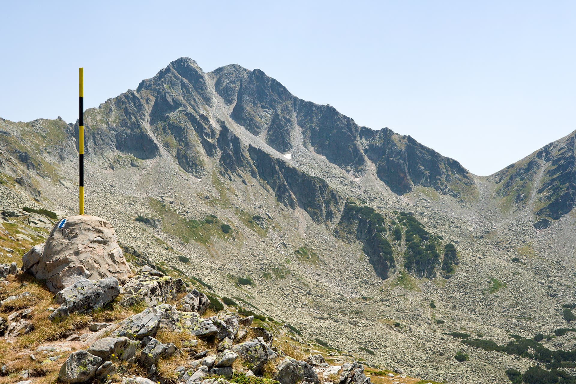
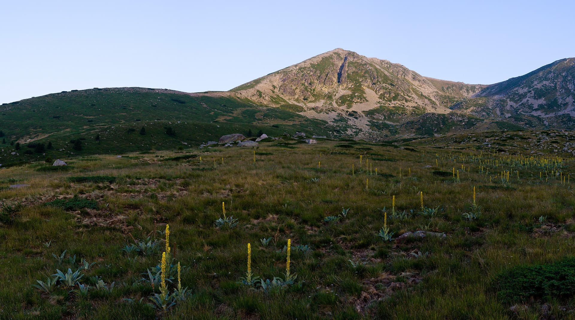
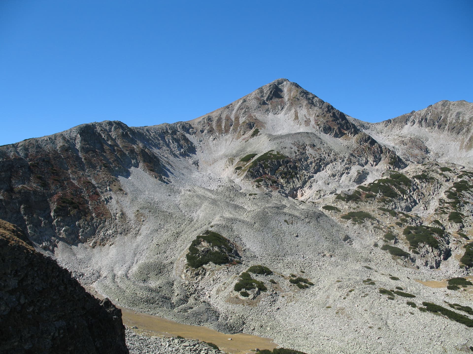
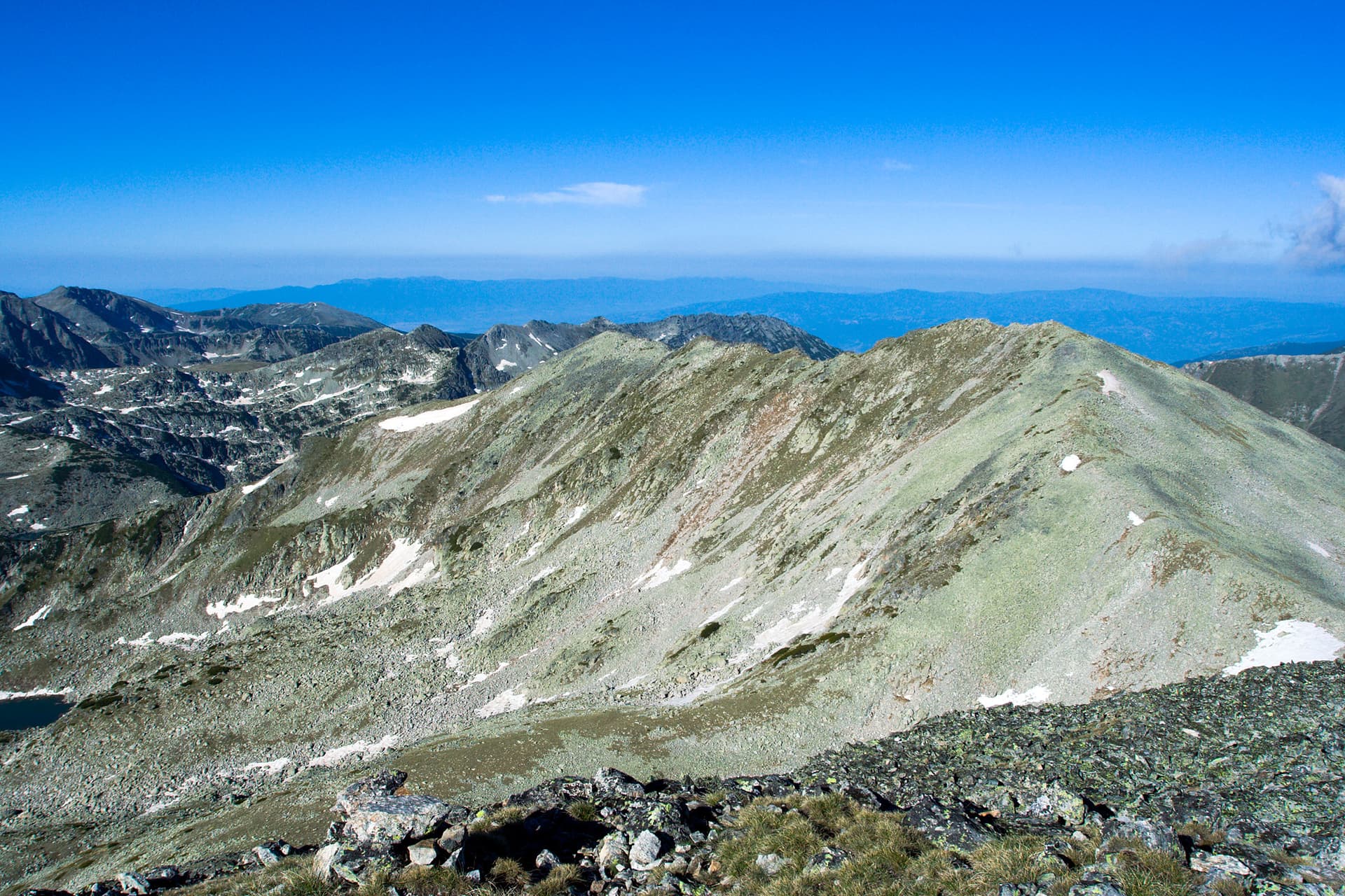
The "Ushitsite" ridge is one of the most technical, narrow, and intimidating alpine crests in the Pirin Mountains. Located on the Polezhan side ridge, this jagged spine stretches for about 1.5 kilometers, connecting Mount Polezhan (to the southeast) with Mount Kaymakchal (to the northwest). With its sheer vertical drops and razor-sharp profile, it represents the epitome of Pirin’s rugged alpine character. Landscape, Geology, and Key Features Formed entirely from solid granite, the ridge is completely barren, rocky, and exposed to the elements: - Specifications: The ridge is roughly 1.5 km long, reaching an impressive altitude of 2,822 meters at its northern section. - The Structure: It consists of a chain of about 10 minor, needle-like peaks that pierce the horizon. - The Guards (Strazhite): The final two peaks on the northern edge are famous individual climbing destinations known as Malka Strazha (Little Guard) and Golyam Strazha (Big Guard). - The Precipices: To the east, the slopes drop steeply into the Polezhan Cirque. To the west, the ridge transforms into vertical alpine walls that plunge directly into the deep cirque of the Gazey Lakes. These west-facing granite cliffs are highly valued by professional rock climbers. To the south, a high glacial step connects Ushitsite with the iconic Gazey Peak. Hiking and Climbing Info - Starting Point: The primary base for exploring this area is Demyanitsa Hut. - Safety Warning: Traversing the ridge is strictly limited to the actual crest of the mountain. Due to the extreme exposure, technical difficulty, and risk of severe gusts of wind, this route is recommended only for experienced mountaineers and climbers with appropriate safety gear.

Blagoevgrad
0.4 km away
Blagoevgrad
0.4 km away
Blagoevgrad
0.6 km away
Blagoevgrad
0.6 km away
Ushitsite is located in Blagoevgrad, Bulgaria.
Ushitsite is most easily reached by car. Use the coordinates above to navigate, or open the location in OpenStreetMap or your preferred maps app for turn-by-turn directions. Public transport options vary by region — for remote destinations a rental car gives the most flexibility.
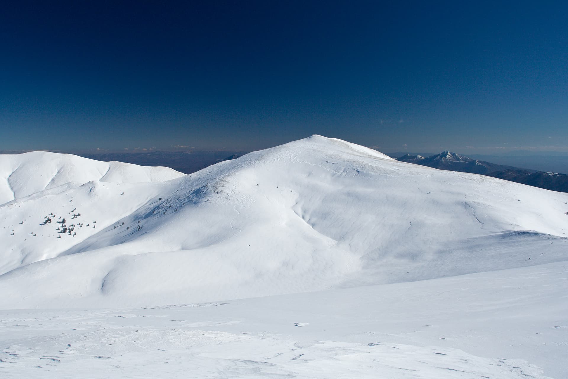
Late spring through early autumn (May–September) is best for Ushitsite, when trails are clear of snow and weather is most stable. Higher peaks may hold snow into June and see fresh snow as early as October. Winter visits are for experienced mountaineers with proper gear.
Ushitsite reaches an elevation of 2,837 metres above sea level.
Hiking boots, layered clothing, water (1.5–2 L per person), sun protection, and a windproof jacket — mountain weather changes quickly. For longer routes also bring a map (paper or offline), a head torch, and emergency rations. Tell someone your planned route and expected return time.