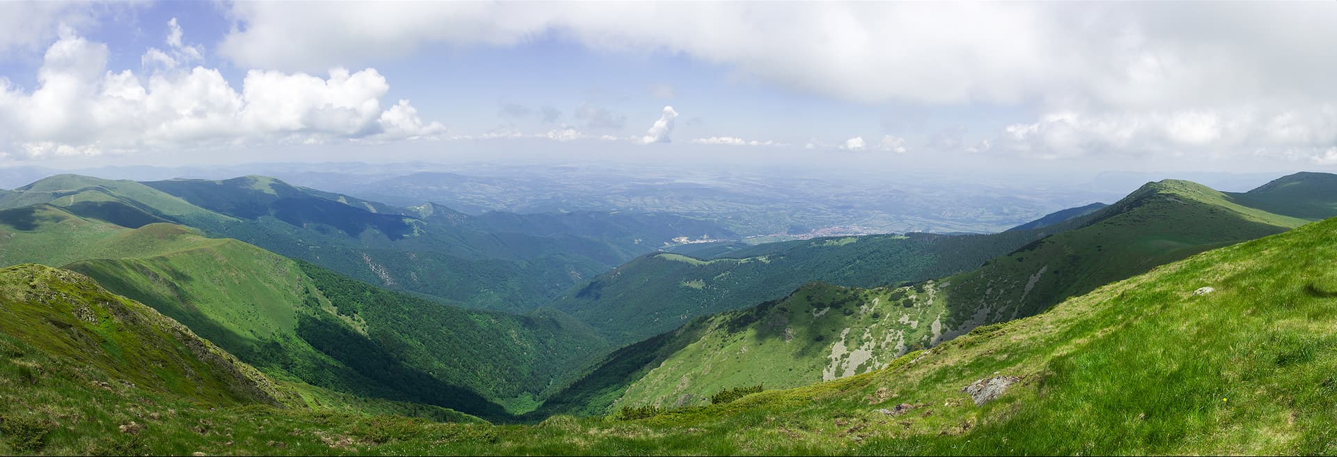
Uruchnik is a protected site in the Western Stara Planina, in the lands of the village of Barziya, Berkovitsa municipality. It was declared a reserve in 1973 and reclassified as a protected site in 1992. It covers 51.23 ha.
The site protects natural spruce, beech-spruce and beech stands in the upper mountain zone of the Stara Planina, in places more than 150 years old and of a virgin character. Its biodiversity is little studied. Uruchnik is in the Western Stara Planina and Predbalkan and Western Balkan Natura 2000 sites.
Visiting is free. Building and disturbing the ground, felling except sanitary and thinning cuts, planting non-native species, collecting wild animals and plants, resin tapping, grazing, and hunting from March to July are forbidden. We found no waymarked path described specifically to the site.
The site lies below Malak Kom, between Kom peak and the Petrohan pass. Barziya is at the foot of the mountain, on the Berkovitsa – Petrohan road.

Montana region
1.8 km away
Sofia region
2.9 km away
Montana region
3.3 km away
Montana region
3.6 km away
Uruchnik Protected Site is located in Montana, Bulgaria.
Uruchnik Protected Site is most easily reached by car. Use the coordinates above to navigate, or open the location in OpenStreetMap or your preferred maps app for turn-by-turn directions. Public transport options vary by region — for remote destinations a rental car gives the most flexibility.
Uruchnik Protected Site is best walked from May through October, when the trail is clear of snow and weather is generally stable. Summer middays can be hot at lower altitudes — start early. Winter walking requires proper gear and route knowledge.
Suitability depends on the specific route. Bulgarian trails range from paved family-friendly paths to multi-day high-mountain crossings. Check the length, elevation gain, and surface before setting off. Sturdy footwear, water, and a basic map (offline or paper) are essential even on short walks.