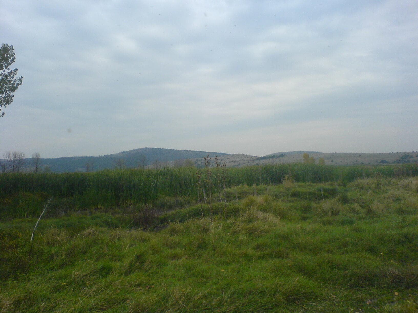
Tri ushi is a rocky limestone ridge in the Western Balkan, between Dragoman and Beledie Han, at the far western end of the Sofia valley. The point that bears its name is at 735 m, and the highest point is Chavchi Kamak (897.6 m), about 2 km south-east of Dragoman.
The starting point is Dragoman, at the north-western foot of the ridge. Sources do not describe a marked path, so rely on a map or a GPS track.
The crest is sharp and jagged, and the slopes are steep, bare and heavily karstified, with sinkholes. There is almost no surface water, so bring your own. Not for small children.
Spring and autumn. Summer is hot on the bare limestone, and in fog navigation is hard.
The battles between the Bulgarian and Serbian armies that decided the Battle of Slivnitsa in November 1885 were fought here.

Sofia region
2.8 km away
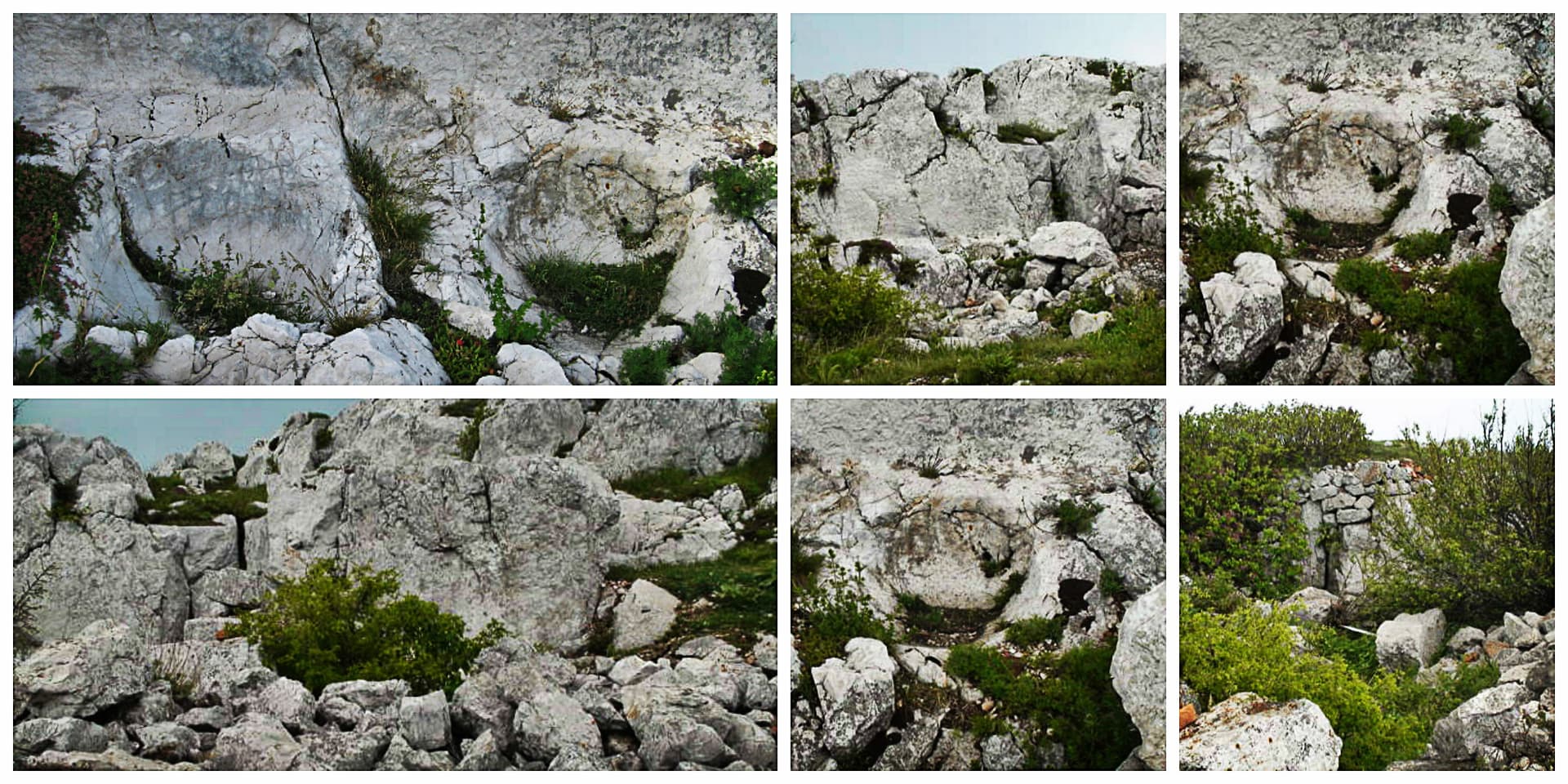
Sofia region
5.0 km away
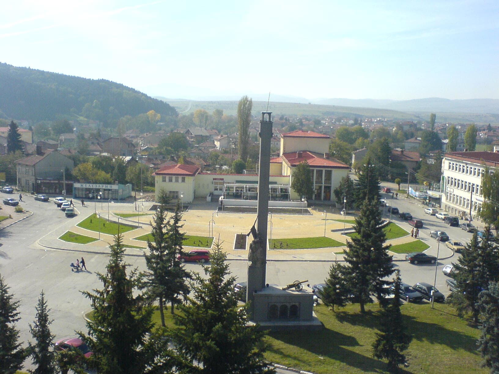
Sofia region
8.5 km away
Tri ushi is located in Sofia Province, Bulgaria.
Tri ushi is most easily reached by car. Use the coordinates above to navigate, or open the location in OpenStreetMap or your preferred maps app for turn-by-turn directions. Public transport options vary by region — for remote destinations a rental car gives the most flexibility.
Late spring through early autumn (May–September) is best for Tri ushi, when trails are clear of snow and weather is most stable. Higher peaks may hold snow into June and see fresh snow as early as October. Winter visits are for experienced mountaineers with proper gear.
Tri ushi reaches an elevation of 735 metres above sea level.
Hiking boots, layered clothing, water (1.5–2 L per person), sun protection, and a windproof jacket — mountain weather changes quickly. For longer routes also bring a map (paper or offline), a head torch, and emergency rations. Tell someone your planned route and expected return time.