MestalaMestala
HomePlacesMapTripBlogAboutFAQ
EN|БГ

Discover Bulgaria with Mestala.

AboutFAQLicensePrivacy
Todorini kukli
MountainsMontana

Todorini kukli

HomePlacesMountainsTodorini kukli
Elevation: 1,785 mCoordinates: 43.13418, 23.19629View on OpenStreetMap

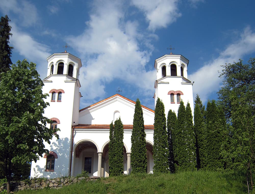
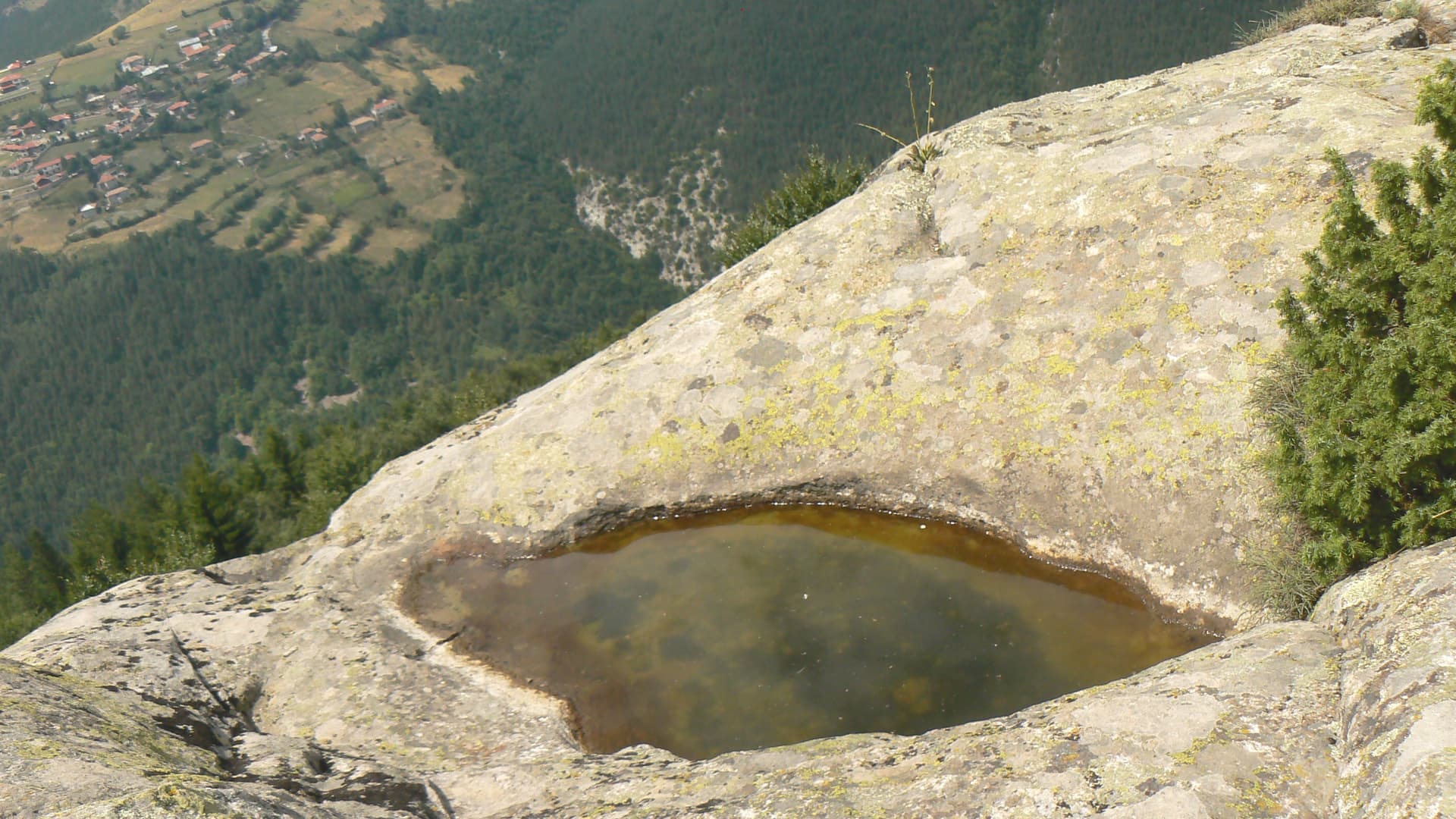
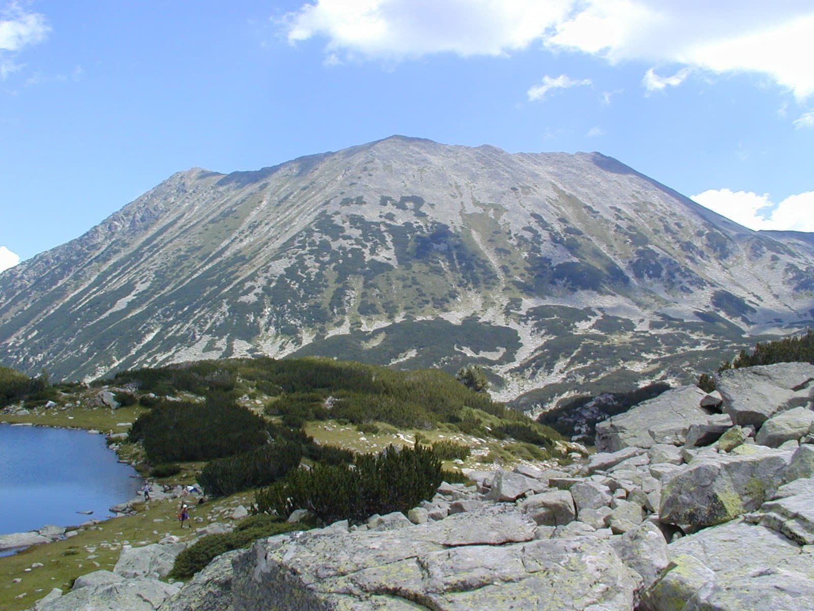
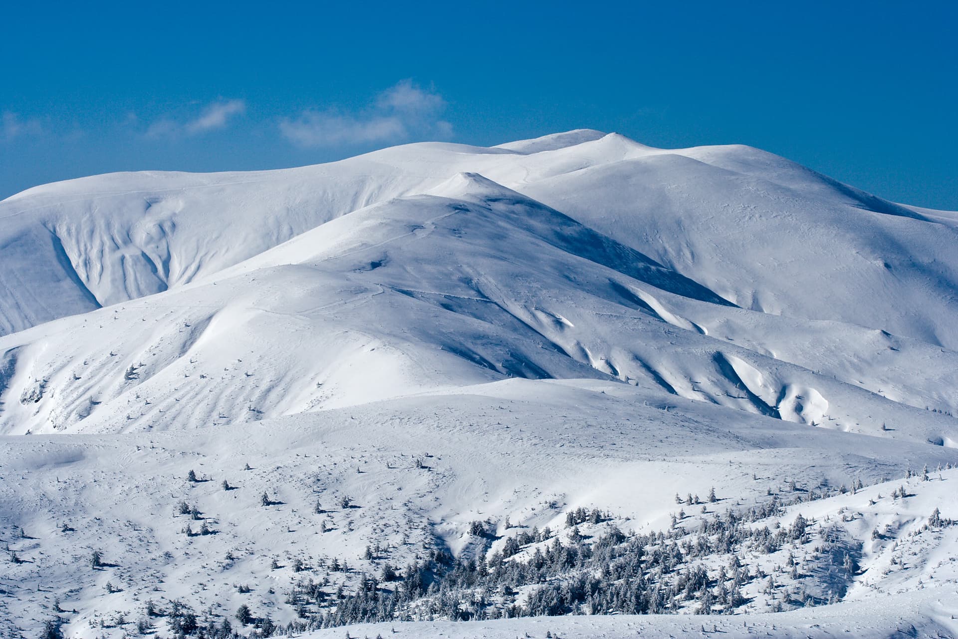
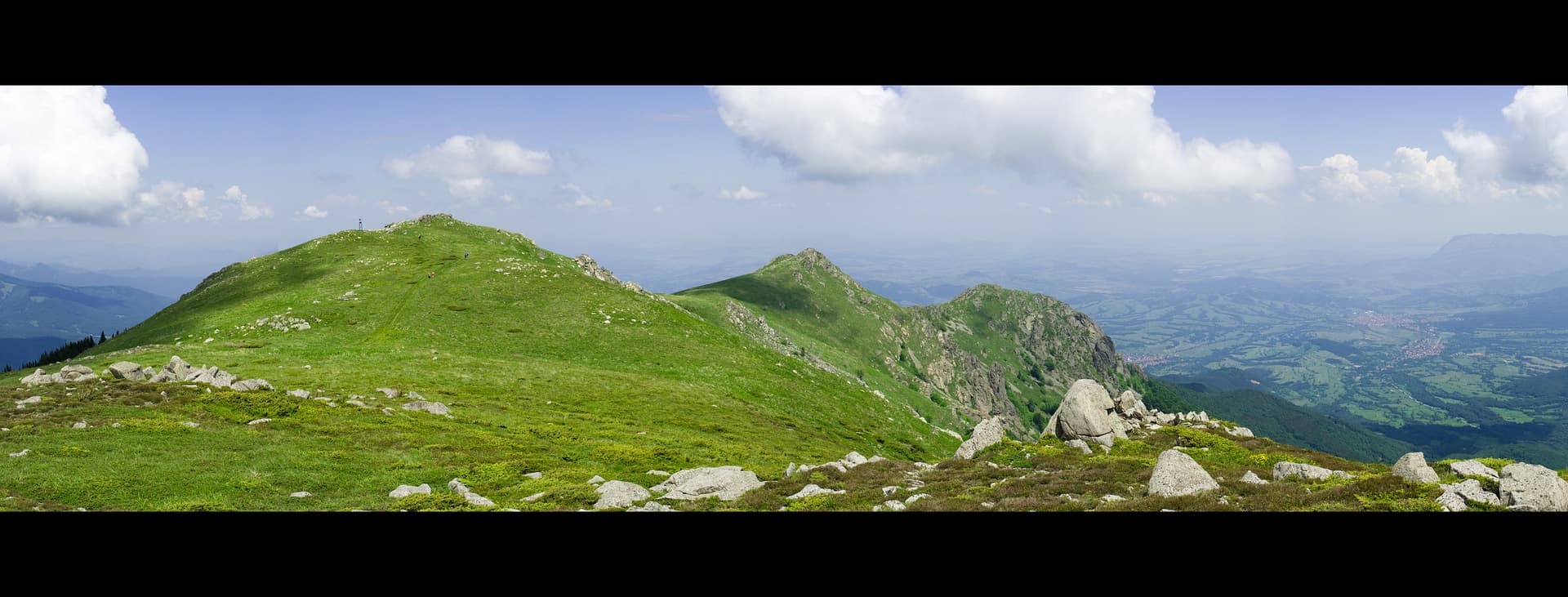
Todorini Kukli (The Dolls of Todora) is a striking group of four rocky peaks located in the Koznitsa Ridge of the Western Balkan Mountains. The highest point reaches 1785 meters, offering some of the most expansive views in Northwestern Bulgaria. The formation creates a short ridge characterized by a dramatic contrast: the southern summits are gentle and grassy, while the northern ones are sharp, rugged, and steep. Panoramic Views From the summit, hikers are treated to a 360-degree vista: - Northwest: The legendary Kom Peak. - North: The Berkovitsa valley and the city of Montana. - Northeast: The limestone massifs of the Vratsa Balkan. Hiking Routes and Access The peaks are a favorite destination for day hikers, with two primary starting points: - From Petrohan Pass (2:00 hours): The shortest and most popular approach. It follows the red markings of the international Kom–Emine trail eastward. After a scenic walk through beech forests and along the main grassy ridge, a side path leads north directly to the peaks. - From the town of Varshets (4:00 hours): A more demanding ascent through ancient woods, suitable for fit hikers. - To Klisura Monastery: A trail leads north from the peaks down to the Klisura Monastery in about 2.5 hours, making it an excellent combined nature and culture trip. Practical Information: - Difficulty: Moderate; perfect for a weekend mountain escape. - Marking: Well-maintained, especially the section overlapping with the Kom–Emine trail. - The Legend: The name is tied to a local myth about a girl named Todora who sought refuge among these rocks, eventually turning into stone or becoming the eternal guardian of the mountain.

Nearby Places

Mechi Baba
Mountains

Mechi Baba

Sofia Province

8.6 km away

Gara Bov – Todorini kukli peak
Trails

Gara Bov – Todorini kukli peak

Sofia Province

8.7 km away

Uruchnik
Trails

Uruchnik

Montana

9.8 km away

Tsarkovitsa
Mountains

Tsarkovitsa

Montana

10.0 km away

More to explore

Koncheto
Mountains

Koncheto

Blagoevgrad

Belintash
Mountains

Belintash

Plovdiv

Ruen
Mountains

Ruen

Kyustendil

Yalovarnika
Mountains

Yalovarnika

Blagoevgrad

Frequently asked questions

Where is Todorini kukli located?

Todorini kukli is located in Montana, Bulgaria.

How do I get to Todorini kukli?

Todorini kukli is most easily reached by car. Use the coordinates above to navigate, or open the location in OpenStreetMap or your preferred maps app for turn-by-turn directions. Public transport options vary by region — for remote destinations a rental car gives the most flexibility.

What is the best time to visit Todorini kukli?

Late spring through early autumn (May–September) is best for Todorini kukli, when trails are clear of snow and weather is most stable. Higher peaks may hold snow into June and see fresh snow as early as October. Winter visits are for experienced mountaineers with proper gear.

How high is Todorini kukli?

Todorini kukli reaches an elevation of 1,785 metres above sea level.

What should I bring when visiting Todorini kukli?

Hiking boots, layered clothing, water (1.5–2 L per person), sun protection, and a windproof jacket — mountain weather changes quickly. For longer routes also bring a map (paper or offline), a head torch, and emergency rations. Tell someone your planned route and expected return time.