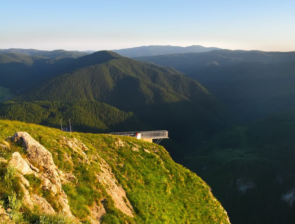
The “Devil's Eco-trail – Big Circle” is one of the most thrilling and challenging adventures the Smolyan region can offer hiking enthusiasts. Situated in the heart of the Western Rhodopes, near the picturesque Buynovo Gorge, this trail not coincidentally bears its name. It is a true test of spirit and body, but every step is richly rewarded with unparalleled natural beauty. The route, approximately 10-12 kilometers long, winds along the rapids of the Buynovska River, passing through dense forests, rocky sections, and phenomenal water cascades. Particularly attractive are the numerous wooden bridges and stairs, skillfully integrated into the rocky landscape, which demand careful passage and a dose of adrenaline. Some sections are secured with ropes, adding to the feeling of wild and untamed nature. Your gaze will be drawn to the “Devil's Bridge” – a natural rock phenomenon that seems to be the work of otherworldly forces. The trail offers exceptional panoramic views, especially from the so-called “Eagle's Eyes” – high rocky platforms from which a breathtaking panorama of the gorge and the endless Rhodope hills unfolds. Here you will have the opportunity to enjoy the clean mountain air, listen to the birdsong, and immerse yourself in the magic of the Rhodopes. Although challenging, the Devil's Eco-trail is well-marked and maintained, yet it requires good physical preparation and appropriate equipment – comfortable hiking boots and sufficient water are mandatory. The trek takes between 4 and 6 hours, depending on your pace and the number of stops for photos and rest. Treat yourself to an unforgettable adventure amidst the majestic Rhodopes!

Smolyan
0.2 km away
Smolyan
0.6 km away
Smolyan
2.1 km away
Smolyan
3.0 km away
The Devil’s path ( long path ) is located in Smolyan, Bulgaria.
The Devil’s path ( long path ) is most easily reached by car. Use the coordinates above to navigate, or open the location in OpenStreetMap or your preferred maps app for turn-by-turn directions. Public transport options vary by region — for remote destinations a rental car gives the most flexibility.
The Devil’s path ( long path ) is best walked from May through October, when the trail is clear of snow and weather is generally stable. Summer middays can be hot at lower altitudes — start early. Winter walking requires proper gear and route knowledge.
Suitability depends on the specific route. Bulgarian trails range from paved family-friendly paths to multi-day high-mountain crossings. Check the length, elevation gain, and surface before setting off. Sturdy footwear, water, and a basic map (offline or paper) are essential even on short walks.