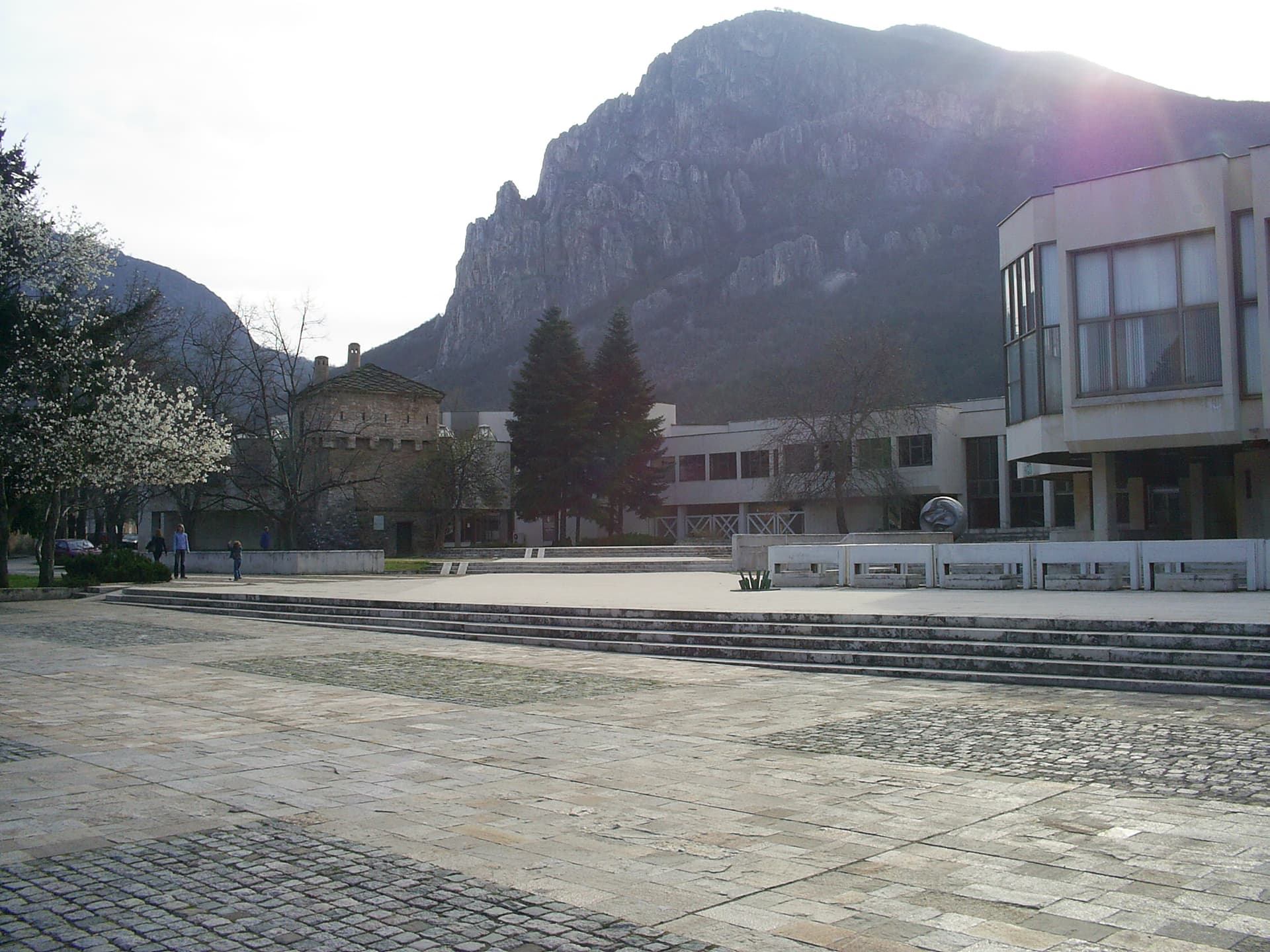
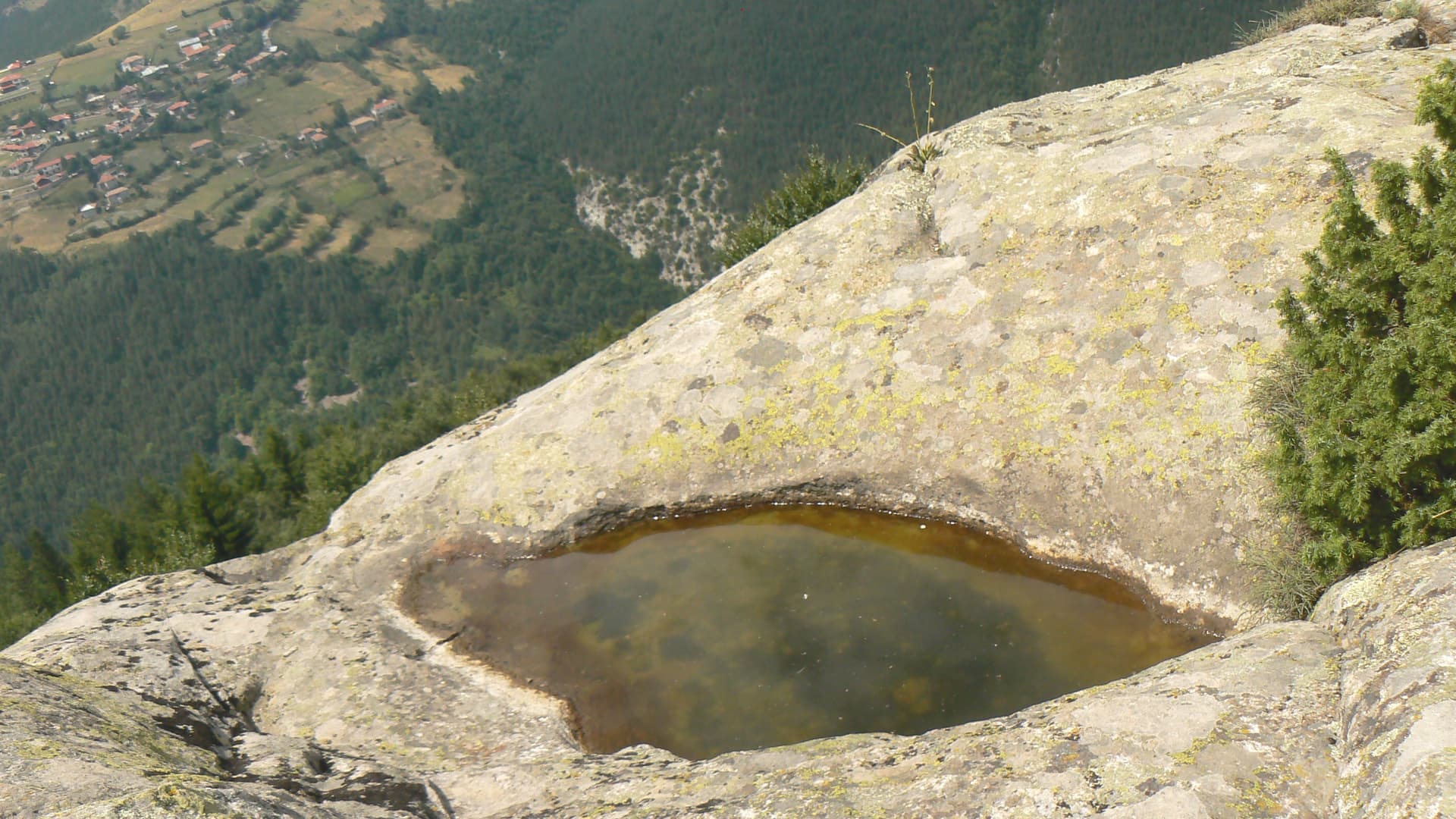
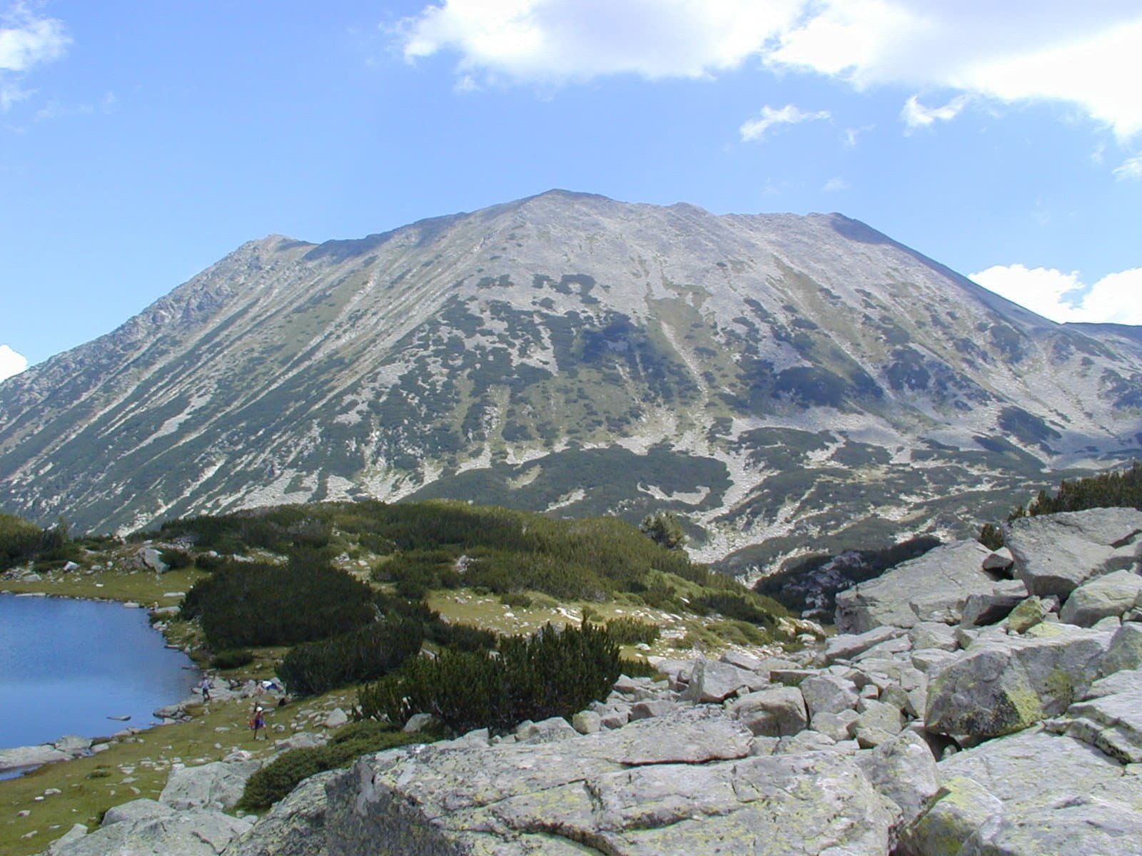
Svetogorski Kamak (1,057 m) is a peak in the Bazov part of the Vratsa mountain, about 3.5 km from Vratsa.
The peak rises above Vratsa, near the Skaklya waterfall and the Vratsata gorge. Other peaks of the Bazov part are Bazova Mogila, Malkoto Branishte, Landzhovitsa, Orlovets and Buk, the highest.
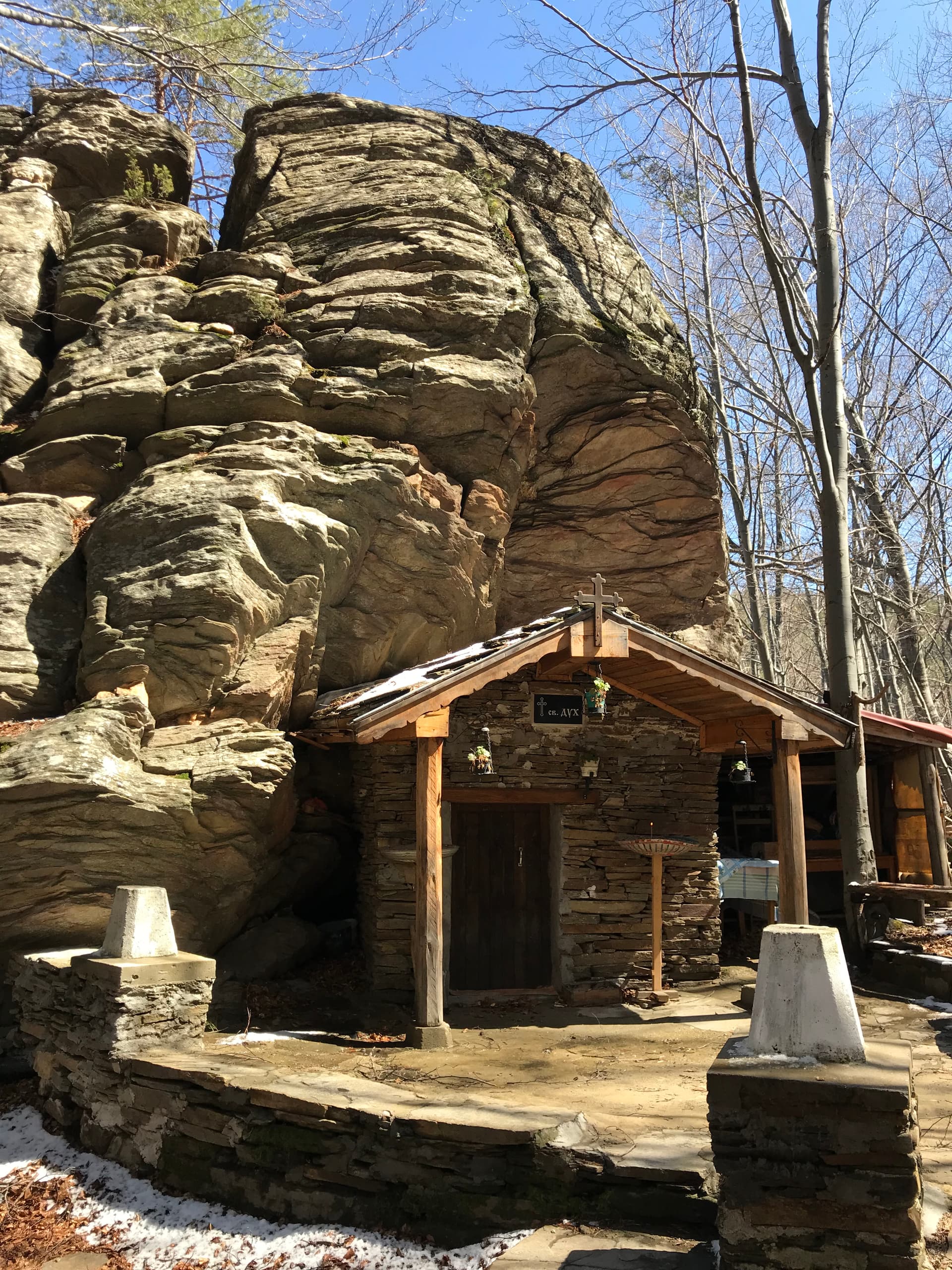
The Sveta Gora and Svetogorski Kamak areas lay in the lands of the vanished medieval village of Patleyna, on the plateau south of the Skaklya water main. The village was founded before the end of the 14th century by mountain shepherds and was named after St Panteleimon; archaeologists believe that in the Middle Ages a chapel or shrine of the saint stood at Sveta Gora and Svetogorski Kamak. At the end of the 18th century Kardzhali bands burned the village and its people scattered.
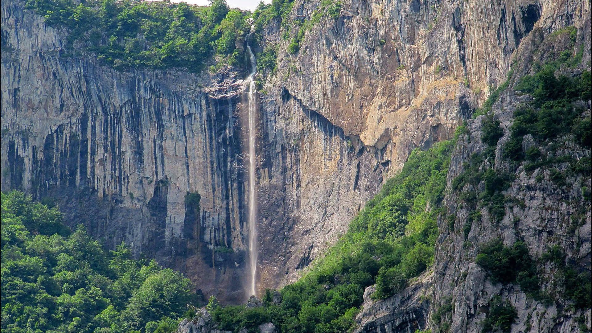
Vratsa region
1.5 km away

Vratsa region
2.7 km away
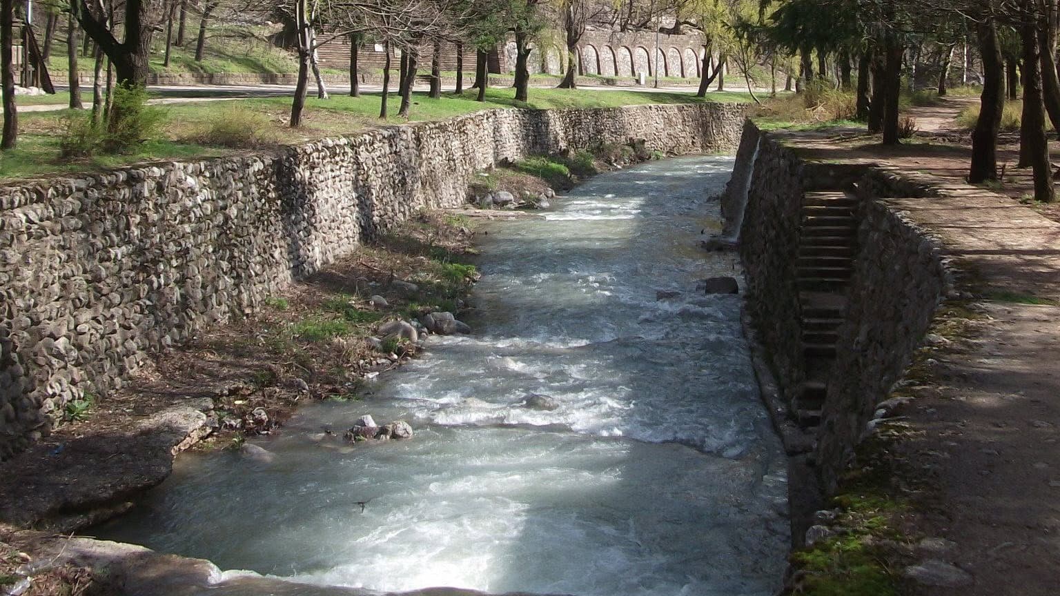
Vratsa region
3.0 km away
Svetogorski Kamak is located in Vratsa, Bulgaria.
Svetogorski Kamak is most easily reached by car. Use the coordinates above to navigate, or open the location in OpenStreetMap or your preferred maps app for turn-by-turn directions. Public transport options vary by region — for remote destinations a rental car gives the most flexibility.
Late spring through early autumn (May–September) is best for Svetogorski Kamak, when trails are clear of snow and weather is most stable. Higher peaks may hold snow into June and see fresh snow as early as October. Winter visits are for experienced mountaineers with proper gear.
Svetogorski Kamak reaches an elevation of 1,057 metres above sea level.
Hiking boots, layered clothing, water (1.5–2 L per person), sun protection, and a windproof jacket — mountain weather changes quickly. For longer routes also bring a map (paper or offline), a head torch, and emergency rations. Tell someone your planned route and expected return time.