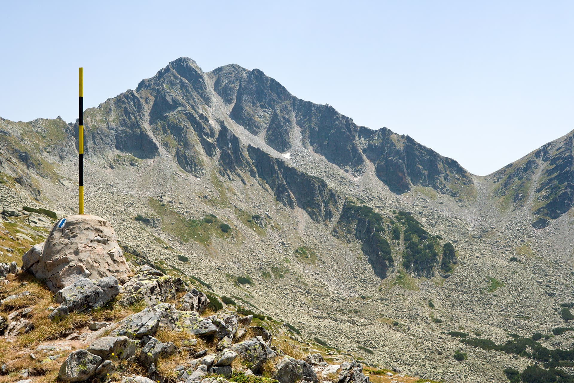
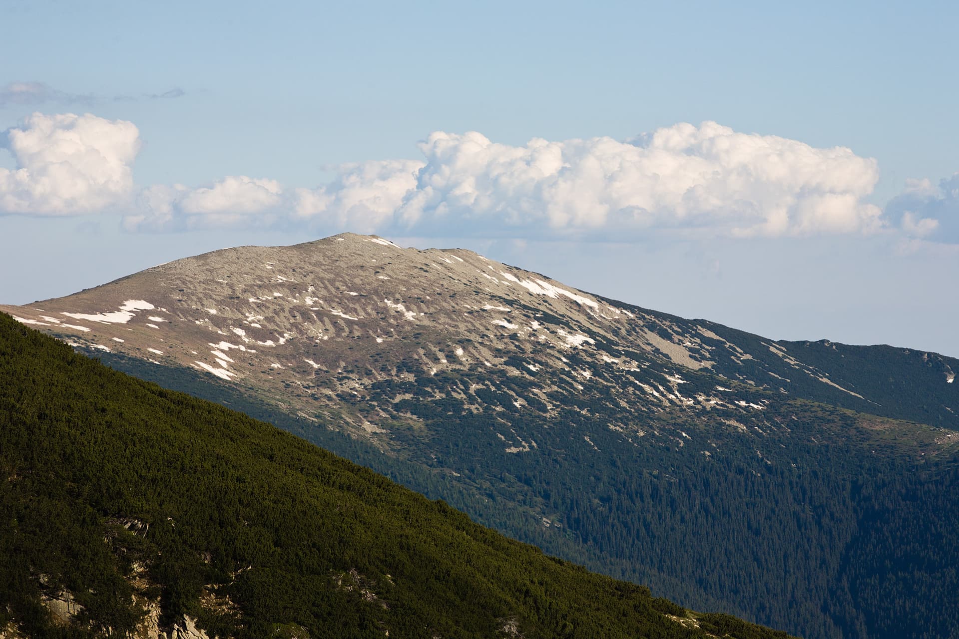
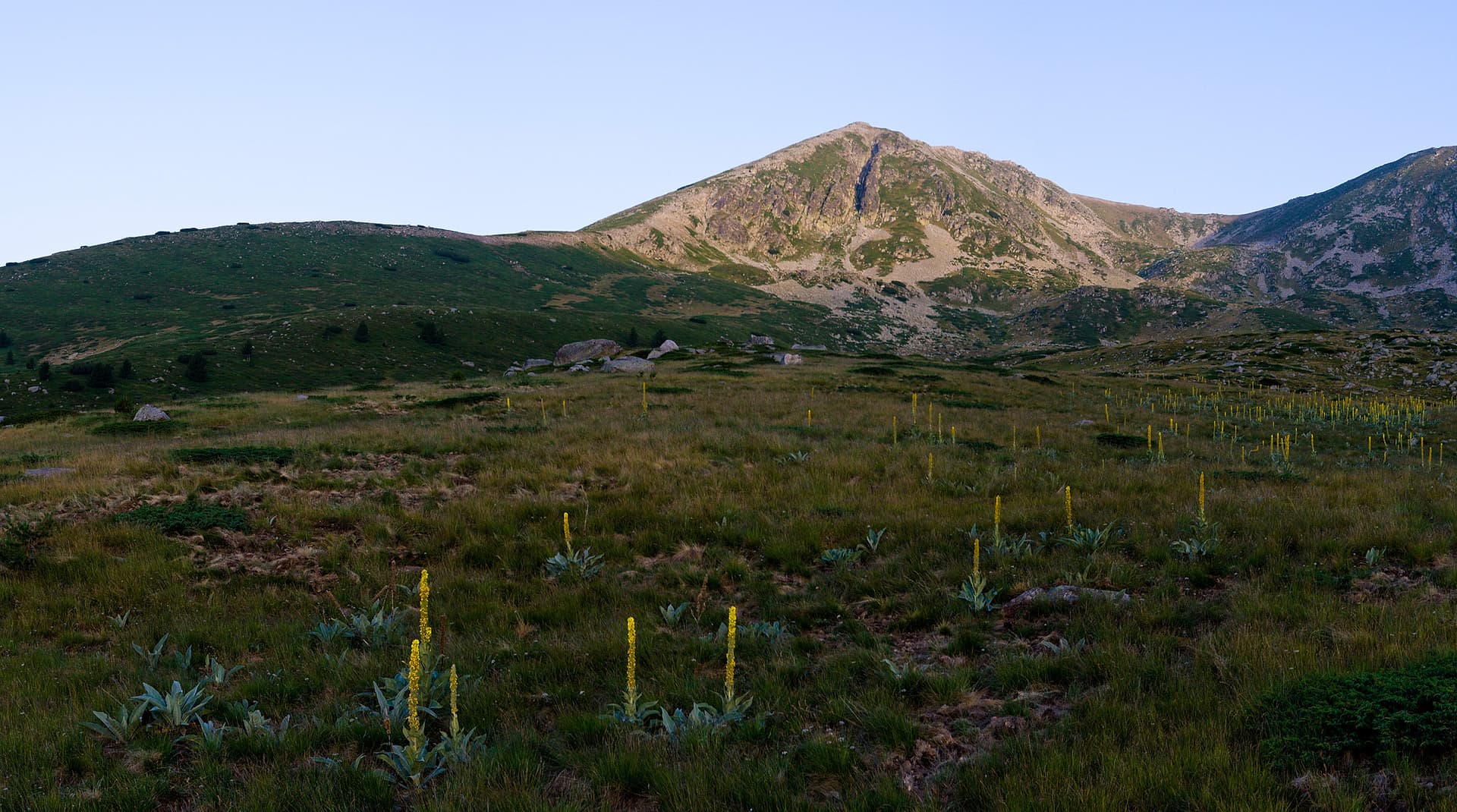
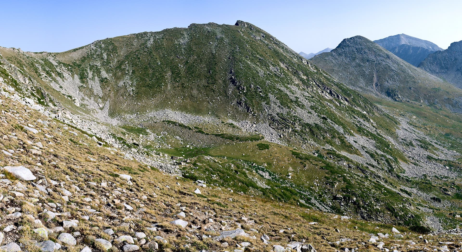
Stefanov Vrah (Stefan’s Peak), standing at 2,407 meters, is a prominent and highly panoramic summit in Northern Pirin. Nestled within the wilder and less-traveled sections of the mountain, it captivates true outdoor enthusiasts with its sense of solitude and vast space. Unlike the typical jagged marble peaks of Pirin, this summit features a smooth, rounded shape and gentle slopes that open up to sweeping vistas of the surrounding ridges and valleys. Geography and Terrain Features - Strategic Location: The peak is the final summit on the southwestern branch of the Kamenitsa side ridge. It is situated southeast of Kotsov Grob and northwest of the scenic Belite Kamani (White Stones) area. - Zaeshki Rid Ridge: Branching south from the peak is the Zaeshki Rid (Rabbit's Ridge), a distinct geographical formation whose highest point is Limankovitsa Peak (1,636 m). - Geology and Nature: The massif is composed of granite and gneiss. Its slopes are covered in dark-brown forest soils and a lush carpet of alpine grasses interspersed with dwarf pine patches. Rivers and Hydrology - Bozhdovska River: The crystal-clear Bozhdovska River has its source at the southwestern foothills of the peak, giving life to the valley below. - Golenska River: To the east, the gentle slopes of Stefanov Vrah roll down into the deep and beautiful valley of the Golenska River. Routes and Tourism - A Convenient Trail: Traversing the eastern foot of the peak is a well-known and highly enjoyable hiking route—the official trail connecting Begovitsa (Kamenitsa) Hut and Pirin Hut. - Wilderness and Escape: Thanks to its approachable rounded profile, the peak offers excellent opportunities for off-the-beaten-path trekking, allowing hikers to take in the crisp mountain air far from the crowded tourist hotspots.
Blagoevgrad
1.8 km away

Blagoevgrad
2.1 km away
Blagoevgrad
2.7 km away
Blagoevgrad
3.4 km away
Stefanov vrah is located in Blagoevgrad, Bulgaria.
Stefanov vrah is most easily reached by car. Use the coordinates above to navigate, or open the location in OpenStreetMap or your preferred maps app for turn-by-turn directions. Public transport options vary by region — for remote destinations a rental car gives the most flexibility.
Late spring through early autumn (May–September) is best for Stefanov vrah, when trails are clear of snow and weather is most stable. Higher peaks may hold snow into June and see fresh snow as early as October. Winter visits are for experienced mountaineers with proper gear.
Stefanov vrah reaches an elevation of 2,407 metres above sea level.
Hiking boots, layered clothing, water (1.5–2 L per person), sun protection, and a windproof jacket — mountain weather changes quickly. For longer routes also bring a map (paper or offline), a head torch, and emergency rations. Tell someone your planned route and expected return time.