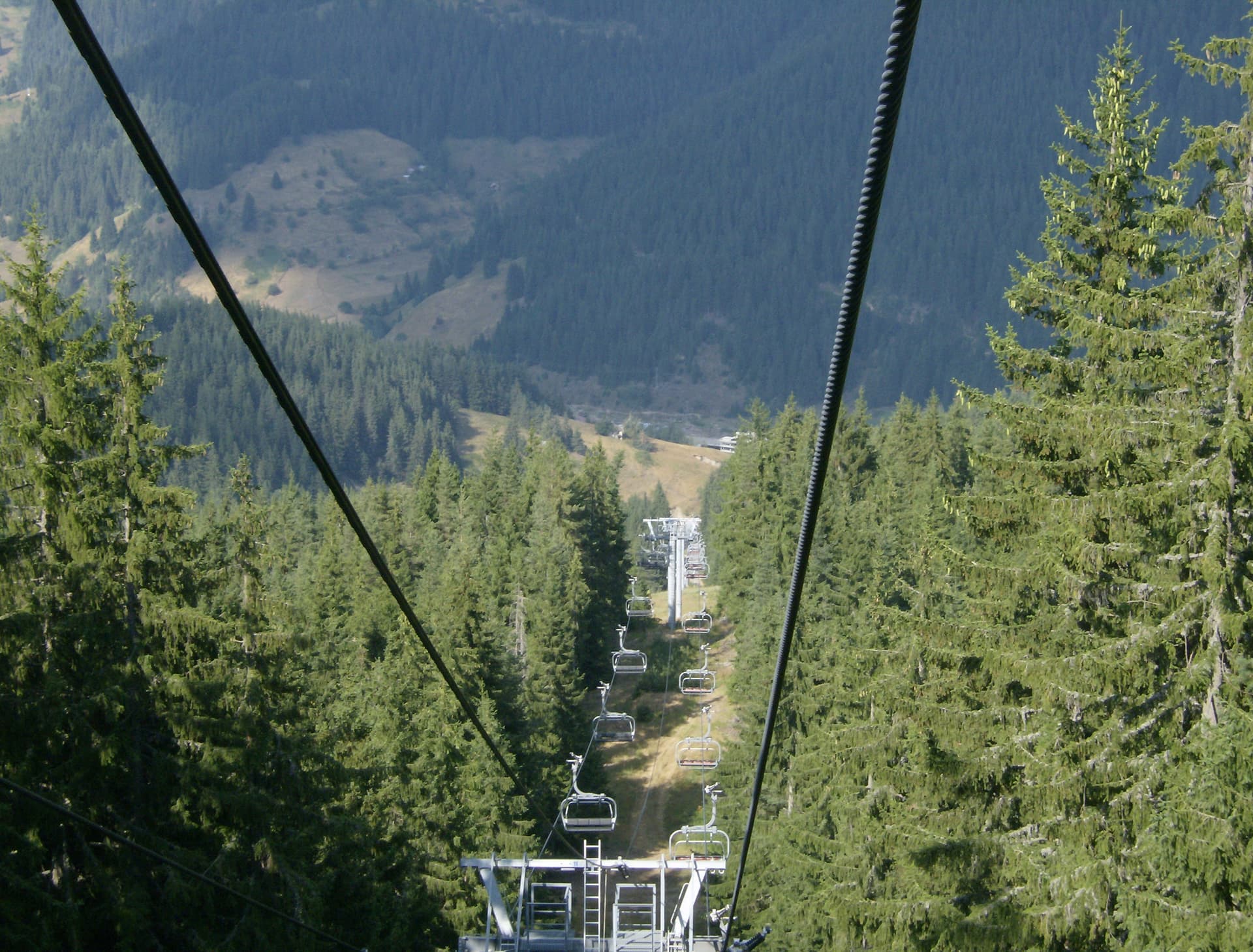
Standing at 2,188 meters, Shirokolashki Snezhnik is the second-highest peak in the Rhodope Mountains, surpassed only by Golyam Perelik. Located in the Mursalitsa ridge near the remote village of Mugla, the peak is a place of legend. While its official cartographic name is Shirokolashki Snezhnik, it is widely beloved by hikers under its more evocative name—Mount Orpheus.
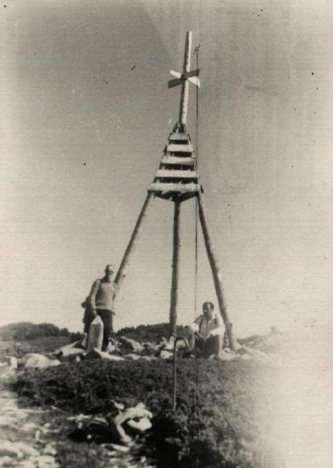
The peak has undergone several name changes throughout the 20th century:
Formed by ancient volcanic rocks, the peak stands out with its rugged character. Its slopes are blanketed in pristine coniferous forests, while the summit itself is a bare, open ridge. This treeless crest offers one of the most magnificent 360-degree views in the Rhodopes, making it a favorite destination for photographers and nature lovers seeking solitude.

Smolyan region
2.7 km away
Smolyan region
3.8 km away

Smolyan region
6.6 km away
Shirokolashki snezhnik is located in Smolyan, Bulgaria.
Shirokolashki snezhnik is most easily reached by car. Use the coordinates above to navigate, or open the location in OpenStreetMap or your preferred maps app for turn-by-turn directions. Public transport options vary by region — for remote destinations a rental car gives the most flexibility.
Late spring through early autumn (May–September) is best for Shirokolashki snezhnik, when trails are clear of snow and weather is most stable. Higher peaks may hold snow into June and see fresh snow as early as October. Winter visits are for experienced mountaineers with proper gear.
Shirokolashki snezhnik reaches an elevation of 2,188 metres above sea level.
Hiking boots, layered clothing, water (1.5–2 L per person), sun protection, and a windproof jacket — mountain weather changes quickly. For longer routes also bring a map (paper or offline), a head torch, and emergency rations. Tell someone your planned route and expected return time.